Russian Scientists Develop an Autonomous Geological Survey Drone
A new autonomous drone developed in Russia can carry out seismic surveys in the Arctic and other remote regions, replacing large field teams and dramatically reducing risks and costs
A New Era of Autonomous Exploration
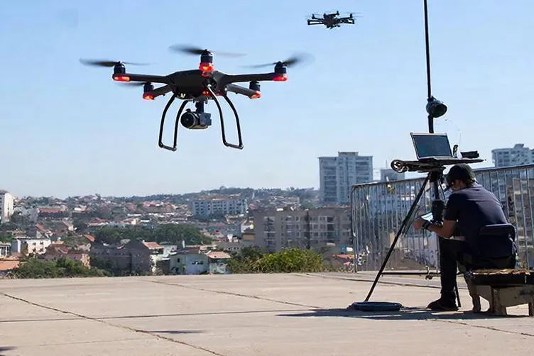
Researchers at the St. Petersburg Federal Research Center of the Russian Academy of Sciences have introduced an innovative seismic-survey drone designed to operate independently in the world’s harshest environments. Equipped with a seismic sensor and an automated soil‑penetration system, the drone can travel to a designated point, embed the sensor into the ground, collect measurements, and return to the operator without human assistance.
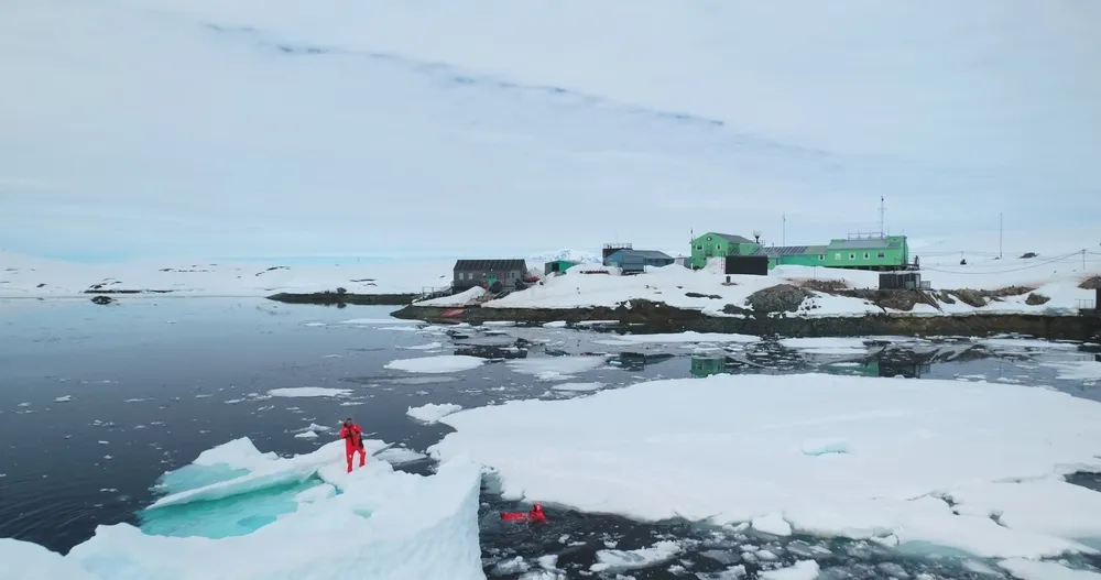
Previously, seismic work in remote regions required tens of kilometers of cable and hundreds of specialists transported to hard‑to‑reach areas such as the Arctic. The new drone eliminates these challenges, offering a faster, safer, and significantly cheaper alternative. Initial tests in the Leningrad Region have confirmed its readiness for operation in the Far North, including ice‑covered territories where ground access is impossible.
Part of a Broader Robotics Ecosystem
The drone is one element of a larger family of geological‑survey UAVs being developed at the Laboratory of Autonomous Robotic Systems. Researchers are also advancing new data‑processing methods and neural‑network models for terrain analysis.
The project is a collaboration with R‑Sensor, highlighting how Russia’s scientific community is increasingly focused on solving practical industrial challenges.