

Navigation Without GPS
Where satellite signals disappear, an autonomous vehicle should not lose its way. A MEPhI staff member has developed a system that replaces GPS navigation with data from a camera, wheels and inertial sensors.

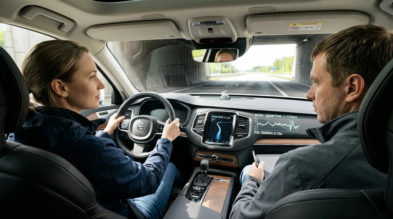
Darya Markova, a staff member of the Department of Computer Systems and Technologies at the National Research Nuclear University MEPhI, has developed a hardware-software system that allows a vehicle to determine its position when GPS and GLONASS signals are unavailable or degraded. Such conditions are common in tunnels, multilevel parking garages and dense urban areas. Rather than replacing satellite navigation with a single sensor, the system combines several sources of information: an inertial measurement unit, wheel odometry, data on vehicle stops and images from a front-facing camera.
The inertial unit records acceleration and angular velocity, while wheel odometry estimates the distance traveled, but both methods accumulate error over time. To reduce it, an extended Kalman filter combines the measurements and refines the vehicle’s trajectory. Additional correction comes from ZUPT, or zero-velocity update: when the vehicle stops at a traffic light, the algorithm receives a reliable reference point. Another layer is visual odometry based on the front-facing camera. Using the methods together limits long-term drift in the inertial system.
A key feature is the use of readily available components: MEMS sensors, a conventional video camera, a 32-bit microcontroller and software built on ROS 2. The developer plans to add lidar sensors, ultrasonic sensors and machine learning to enable operation in darkness and extend autonomous travel to 20 kilometers.

Where It Can Be Used
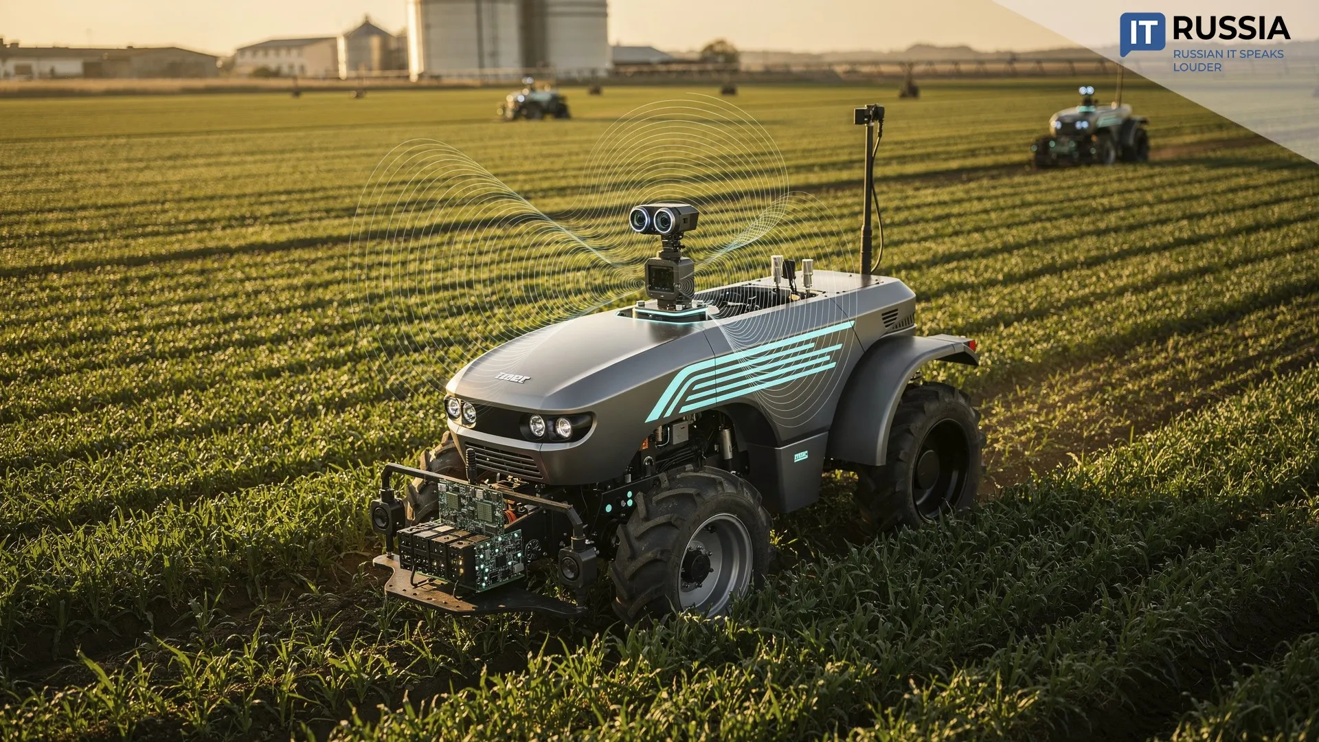
According to Mintrans (Ministry of Transport of the Russian Federation), more than 120 autonomous trucks were operating on Russian roads in May 2026, with a combined accident-free mileage of more than 17 million kilometers. As autonomous vehicles are deployed across a wider geographic area, backup localization methods become increasingly important.
A second application is urban transportation operating on fixed routes. The MEPhI system uses a universal automotive architecture and adds visual correction, making it potentially suitable for buses, shuttles, municipal vehicles and mining equipment.
The third area is robotics. Russian developments are contributing to a broader class of autonomous localization technologies for both ground and aerial systems.
How the Technology Matured
In November 2022, Droneshub presented a visual navigation system for autonomous ground vehicles that did not rely on GPS or GLONASS. The vehicle traveled along a route while cameras recorded its surroundings, and AI algorithms identified objects and built a map. In January 2023, developer Dioram integrated SLAM technology with Digital Roads, a digital twin of Moscow’s road network.
In July 2024, Cognitive Pilot deployed its Cognitive Navigation system for autonomous trams in St. Petersburg, designed to operate in tunnels and densely built-up areas. This marked the transition of satellite-free navigation from laboratory testing to a real-world transportation system.
That same year, a paper on optical-visual correction of inertial systems without satellite data was published in the Proceedings of MAI. By September 2026, the MEPhI work had become one of the most concrete examples of satellite-free navigation specifically for a wheeled vehicle, tested in urban runs that included a tunnel and a multilevel parking garage.

A Backup Layer for the Future
The development’s main significance lies not in eliminating GPS altogether, but in creating a backup navigation layer based on mass-market components. In real autonomous vehicles, several independent positioning methods can cross-check and correct one another: if one source becomes unavailable, the others can maintain localization.
The reported performance figures reflect the results of a research program, not readiness for mass deployment. A real autonomous vehicle would need to be tested over longer distances and in poor weather, at night, with dirty cameras and worn tires. That makes the planned addition of lidar and machine learning particularly important. Development is likely to move toward deeper sensor fusion, in which the algorithm assesses the reliability of each source itself and adjusts its weight in real time.
The MEPhI development is part of an emerging autonomous-transport market. If the research results are confirmed on long routes, the next stage will be testing the system on real autonomous platforms. An industrial pilot, in turn, would mark the transition from a research project to a technology ready for large-scale deployment.