

Altai Scientists Use Artificial Intelligence to Protect Forests From Disease
Forests in Altai Krai cover nearly 4.5 million hectares. For forestry professionals, monitoring forest health across such a vast area from the ground is difficult. By the time inspectors begin treating one affected area, pests may have already destroyed hectares of healthy forest elsewhere.
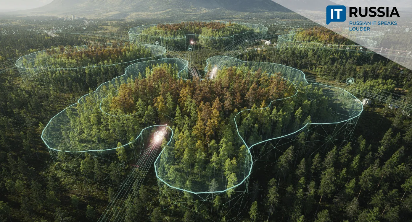
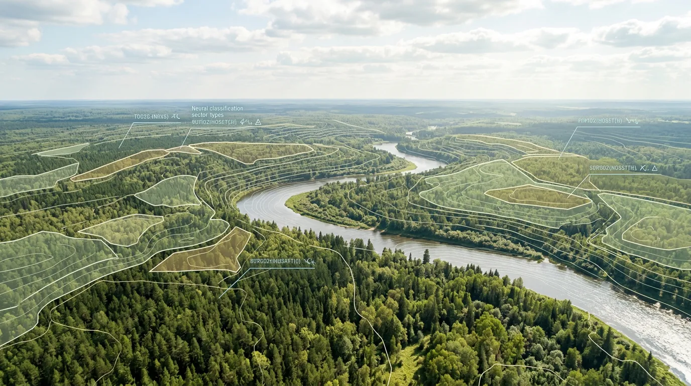
Scientists at Altai State University have developed an artificial intelligence-based system that will analyze satellite imagery and identify areas of disease and damage across forested areas. The algorithm combines remote sensing data, spectral image analysis and neural-network models.
Digital Immunity for Forests
More than 29,000 hectares in the region have some form of forest damage. Even though that represents less than 1% of the total forest area, the rapid spread of pests is raising concerns among forestry professionals. The situation is further complicated by the fact that large parts of Altai Krai’s forests are located in hard-to-reach areas. AI will become a reliable tool for the region’s Forest Protection Center. By processing imagery from the Kanopus-V and Sentinel-2 systems, it can assess the degree of damage based on geometric characteristics such as the shape and size of tree crowns. According to the developers, the new method can achieve 95% accuracy.
Every year, pests destroy about 85,000 hectares of forest in Russia. Detecting pest outbreaks early makes it possible to contain a problem before it becomes irreversible. The new development will further digitize forest management while improving the quality of environmental monitoring. The Altai experience could also be useful in Siberia, the Russian Far East and the North, where forests cover vast areas.
Deeper Into the Forest, Greater Order
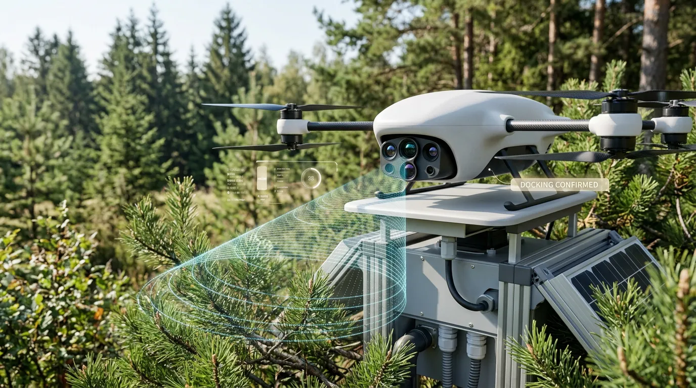
Roslesinforg (Russia’s Forest Information and Analytical Center) uses AI to detect illegal logging when analyzing satellite imagery. Its neural network identifies logging sites 62% faster and 12% more accurately than humans. Satellite Earth observation and AI technologies are also used to detect wildfires, and now they can track signs of disease and damage across forested areas.
As early as 2022, Altai Krai was using Sentinel-2 satellite data to analyze damaged areas. In 2023, Russian scientists used satellite imagery to identify forest damage in Altai caused by the Siberian silk moth, one of the region’s most common pests. The remote-sensing method has an accuracy of 90%, making it 10% more accurate than ground-based monitoring.
Later, the Digital Forest (Tsifrovoy les) project was launched in Nizhny Novgorod Region, where AI was trained on an extensive database of 7,600 satellite images. The algorithm can now recognize even minor anomalies in forested areas and focus professionals’ attention on locations that are genuinely critical. The digital “inspector” also estimates potential damage by analyzing parameters such as the size of the affected area and tree species composition.
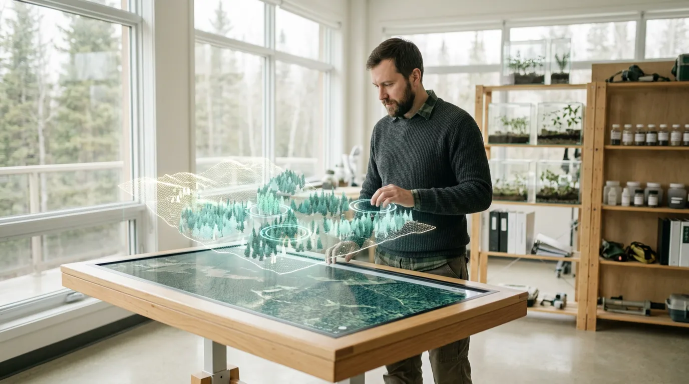
Meanwhile, scientists at the Buryat State Academy of Agriculture are developing LesSkaut (Forest Scout), a software and analytics system that combines unmanned aerial systems, remote sensing technologies and neural networks. The researchers plan to train AI to identify tree species, assess their health and detect early signs of disease and pest outbreaks. To do this, they will need to build a database containing at least 5,000 images.
Roslesinforg and the Perm Pulp and Paper Company are developing LesProfi (Forest Profi), an innovative technology for forest inventory, which involves measuring and assessing forest resources. LesProfi analyzes data from unmanned aerial vehicles equipped with LiDAR laser-scanning systems. A drone can scan up to 250 hectares in a single flight and up to 1,500 hectares of forest per day. After extensive processing, the data is turned into a detailed 3D model. The digital twin captures the characteristics of every tree, including its coordinates, height, diameter, species, crown area and even the volume of its timber stock. The model can achieve 95% accuracy.
Space-Based Technology
There is little doubt that the Altai technology will be scaled up across Russia. AI can reduce the time between detecting a problem and making a management decision to just a few hours. Russia has unique experience in processing remote sensing data thanks to its own satellite constellations. If satellite imagery was once used only as a supplement to ground surveys, researchers at Altai State University have now turned AI into a full-fledged analytical tool.
The algorithms currently detect damage that has already occurred, but further advances in machine learning models will make it possible to predict the likelihood of disease outbreaks based on historical data, climate factors and soil conditions. Comprehensive forecasting systems could then be developed. They could become part of unified digital platforms for managing natural resources.