

From Manual Measurements to Digital Tools
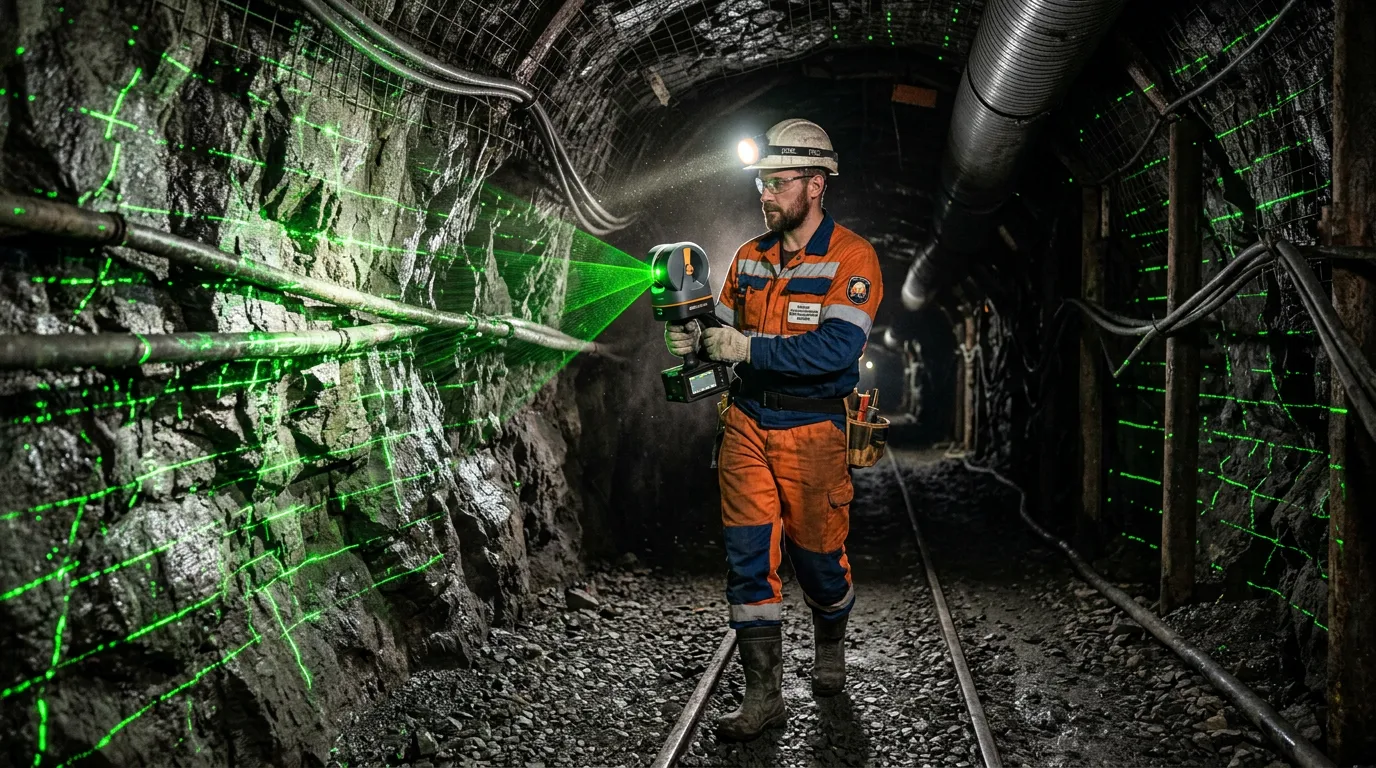
Olkon, the Olenegorsk Mining and Processing Plant, has introduced a mobile 3D scanner for surveying its underground mine. An inspector moves through the mine workings with the scanner, which continuously captures the surrounding terrain and builds a three-dimensional representation of the site.
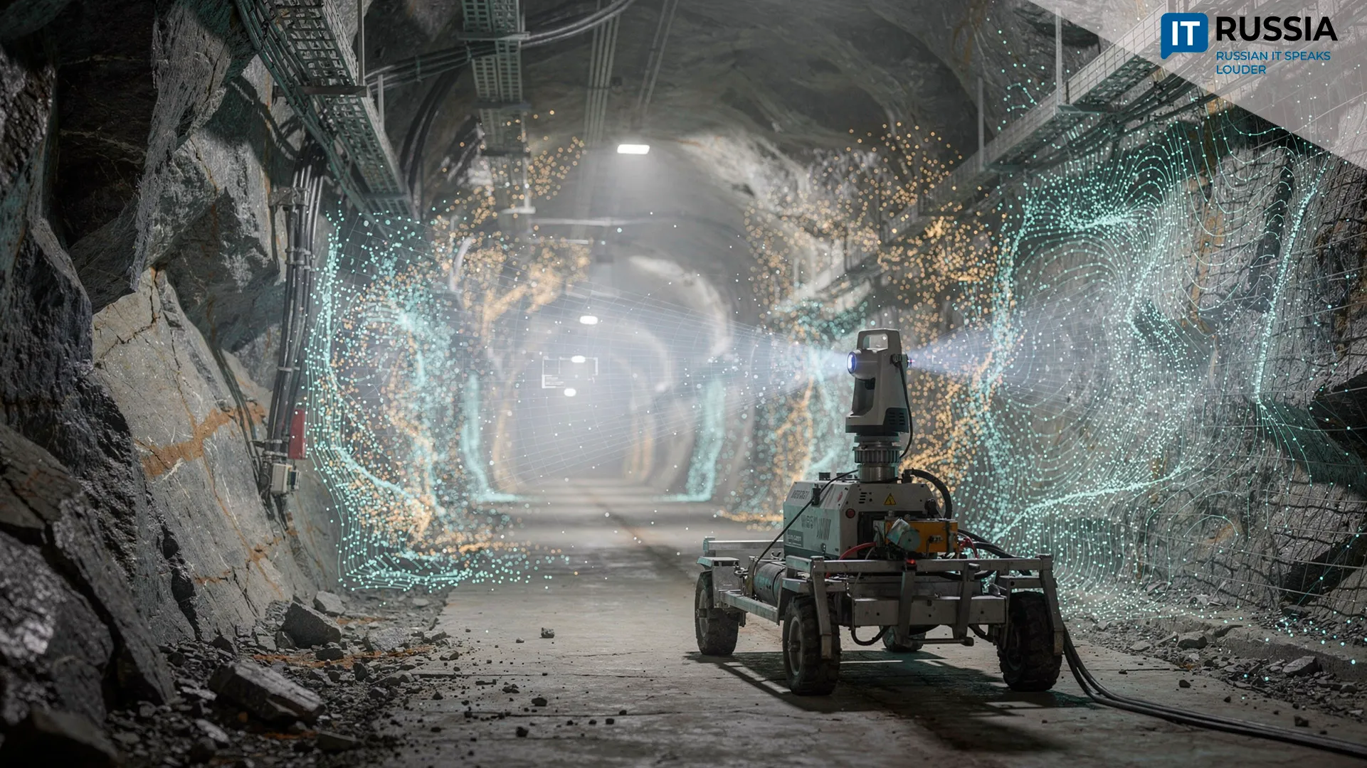
Olkon (Olenegorsk Mining and Processing Plant), part of Severstal PJSC, now works with 3D models of the mine. SLAM technology, which combines simultaneous localization and mapping, allows an inspector carrying the scanner to move through the site without stopping. There is no longer any need to set up the instrument at each measurement point. As the inspector moves through the workings, the scanner continuously captures their geometry on the go – walls, roofs and utilities – and builds a three-dimensional “point cloud” in real time. At the end of the survey, the inspector needs to return to the starting point so that the software can “close the loop” and correctly stitch the individual sections into a single model.
The scanner has a stated operating range of up to 200 meters. This means some measurements can be taken remotely, without entering a hazardous or hard-to-access working face. That improves employee safety and reduces the amount of time workers need to spend underground. The resulting digital replica captures not only the mine workings and all their features, including depressions and deviations from the design, but also underground utilities.
From 2D to 3D
Before scanning was introduced, the mine model was created in two dimensions. Moving to a three-dimensional representation takes engineering work to a new level: engineers can now clearly see how the workings are positioned relative to the ore body, analyze spatial changes with high accuracy and plan subsequent operations.
The data addresses several practical tasks at once. Rapid volume calculations make it possible to determine the actual amount of mined rock faster and more accurately. The system also provides tighter oversight of blast-hole drilling – holes drilled into rock to hold explosive charges. The scanner immediately detects deviations from the design. In addition, the system can track declining ore quality caused by dilution with waste rock. Overall, the technology reduces the time required for mine-surveying work, cuts equipment downtime and minimizes errors that can occur with manual measurements.
Olkon itself initiated and is implementing the project. Full scanning of the underground mine and creation of its detailed 3D model are scheduled for completion in December 2026.
Moving Toward Systematic Use of 3D Scanner Data
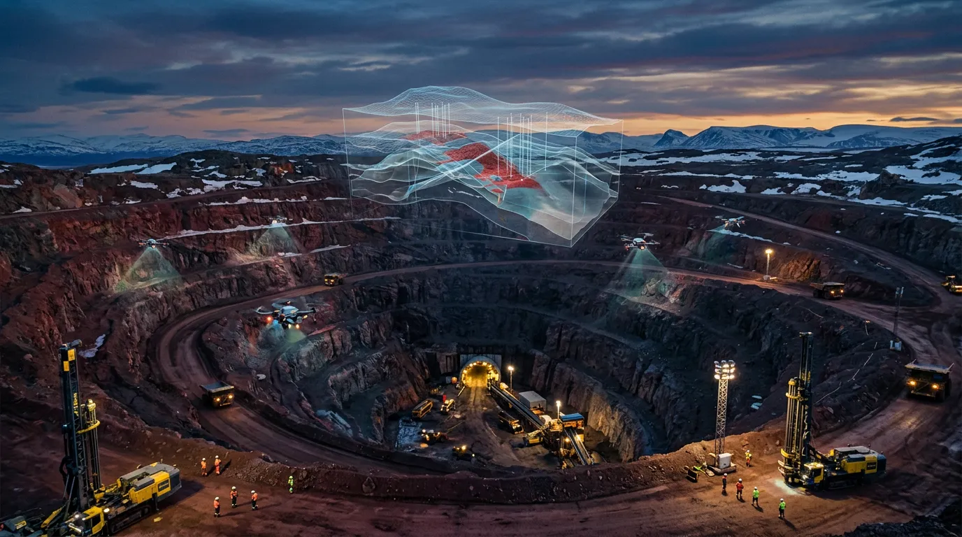
3D scanning is a widely used technology. By 2024, more than 150 laser scanners from a single product family were operating at major Russian mining companies, across both open-pit and underground sites. Users of such systems include EVRAZ, Norilsk Nickel, EuroChem, Severstal, Polymetal, ALROSA and other companies. For a long time, these systems were assembled primarily with LiDAR units from Chinese manufacturers. Russian companies developed or adapted most of the other components, as well as the software, themselves.
Russian digital mine-design systems gained momentum in 2022. The GEOMIX GIS and Mineframe were already capable of building 3D models, handling mine-surveying tasks, calculating reserves and supporting mine planning.
Rosgeologia’s 2023 experience with the implementation of the GEOMIX Geologiya (GEOMIX Geology) mining and geological information system demonstrated the shift by major Russian subsoil users and geological exploration organizations toward specialized domestic software.
At the Olenegorsk Mining and Processing Plant, laser scanning had already become part of regular monitoring by 2025, extending an established industry trend. Gradually, 3D scanning is becoming not a stand-alone measurement operation but one of the data sources feeding the digital model of a mining enterprise.
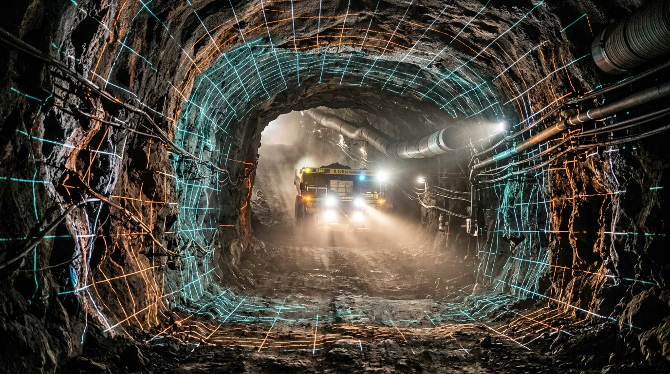
The significance of Olkon’s experience lies in the move toward systematic use of scanning data and the creation of a full-scale digital model of an underground facility. The next important step for the company is to turn the 3D model from a visualization tool into a continuously updated digital source of information about mine conditions. Such a model can be used to compare the designed and actual positions of mine workings, monitor production volumes, plan drilling and mining operations, and analyze changes in the geometry of underground structures. Russian mining and geological information systems already support work with such geological and mining models and can automate geological, mine-surveying and production tasks.