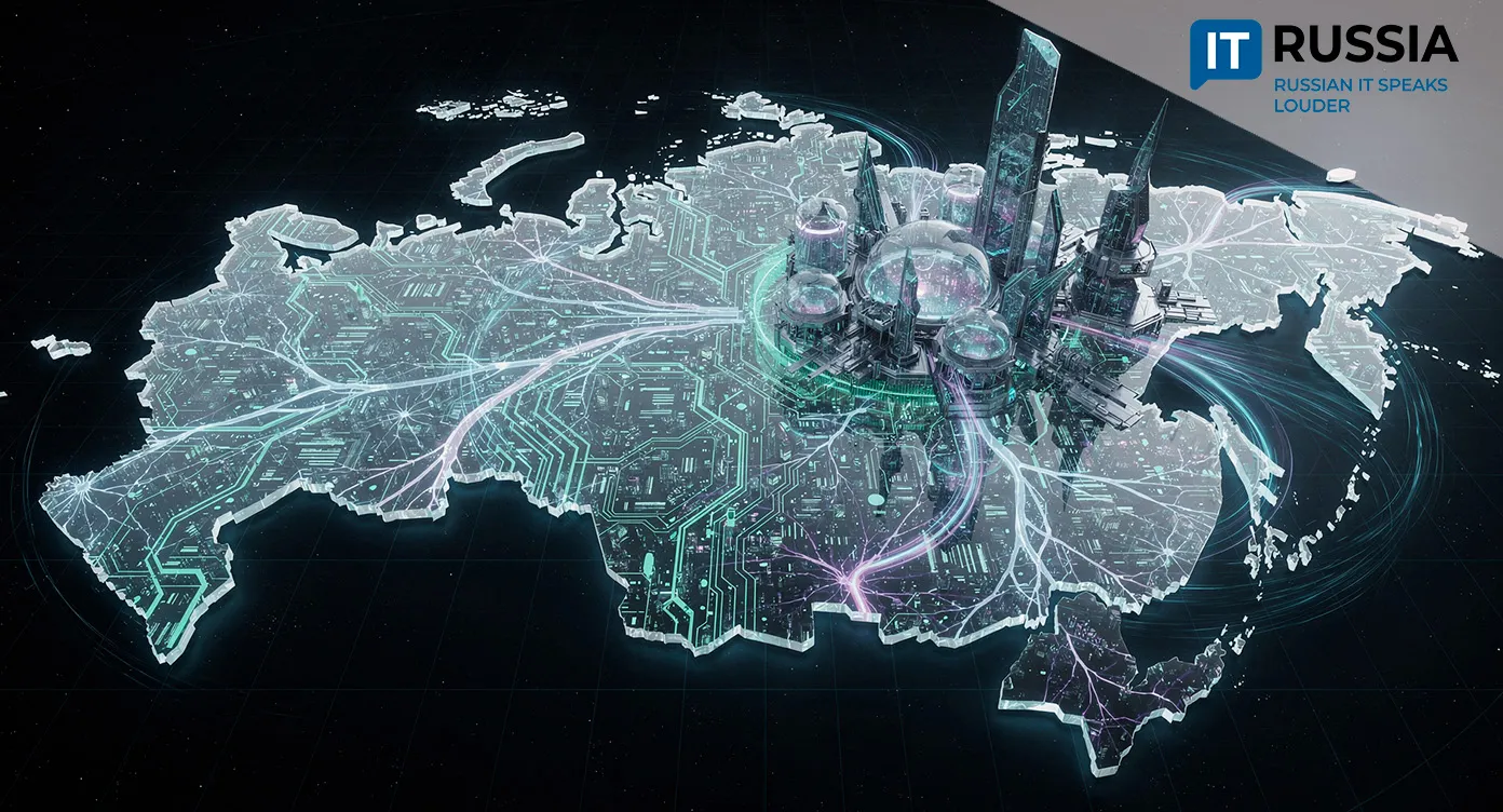
A Virtual City Mapping System Is Coming to Norilsk
Digital city maps are emerging as a fast-growing urban technology trend, and the Norilsk initiative could become a foundation for similar systems in other Russian cities.

A Map Designed to Help Everyone
Researchers at Zapolyarny State University are developing a digital city mapping system for Norilsk. A recent segment on the local television channel “Novosti Severnogo Goroda” showcased the project. The system is designed as a virtual advisory map that helps city officials, educators, businesses, and residents navigate the city, plan activities, and make informed decisions. The project is unfolding as a grassroots digital initiative within the local academic community and began as a student thesis project.
Norilsk is a city in the north of Krasnoyarsk Krai with a population of more than 150,000 and a complex territorial layout. Still, integrating digital maps into urban governance is relevant for any small or mid-sized city, especially those facing extreme climate conditions and infrastructure isolation. For residents, the system promises better spatial orientation, route planning, and visibility into infrastructure and how it changes over time. For city authorities, it offers a new analytical tool for planning and decision-making across multiple areas of urban life.

Possible Future Directions
In its current form, the project is designed for internal use, but GIS technologies and digital city models represent a global trend. Over time, similar systems could be deployed in other Russian cities with extreme climates or complex infrastructure, such as northern cities in Yakutia or the Magadan region, and potentially later in international partner regions.
One promising direction is the development of an interactive 3D map with a temporal scale that visualizes infrastructure changes over time. This concept has already been tested in another project that mapped Norilsk’s development through 2035. Future iterations could also integrate data on urban development projects, renovation sites, and social services. The team is also considering an open API for developers, including startups, businesses, and public service providers, allowing new services to be built on top of the map.

The Broader Push Toward Urban Digitalization
In recent years, the digitalization of Russian regions has accelerated noticeably. Most current initiatives, however, are either centralized or commercially driven. That makes the Norilsk case especially notable as a locally developed project. As early as 2023, the city presented an interactive 3D map of urban assets that detailed infrastructure, renovation projects, and facilities by district.
Elsewhere in the country, large cities, including those in Russia’s Far East, are rolling out digital maps aimed at tourists and emergency response services. Industry publications and GIS community reporting point to this as a consistent nationwide trend.

A Foundation for Replication
Zhivaya karta Norilska (Live Map of Norilsk) fits squarely into the broader digital city movement while retaining a strong local focus and particular importance for Norilsk itself. Even so, the project shows clear potential for expansion.
In the near term, the map is expected to evolve as a local tool developed with university participation and enriched with additional datasets, including infrastructure and social facilities. Within three to five years, the platform could shift toward publicly accessible interactive services, including mobile versions and integration with city portals. Over the longer term, the technology could serve as a foundation for digital twins of other northern cities, where harsh climate and infrastructure constraints make precise digital models especially valuable.