Harvest Satellites: BRICS Farmers to Gain Access to Space-Based Agricultural Analytics
Russia will provide BRICS countries with Earth remote sensing data to support smart farming and agricultural sustainability across the alliance.
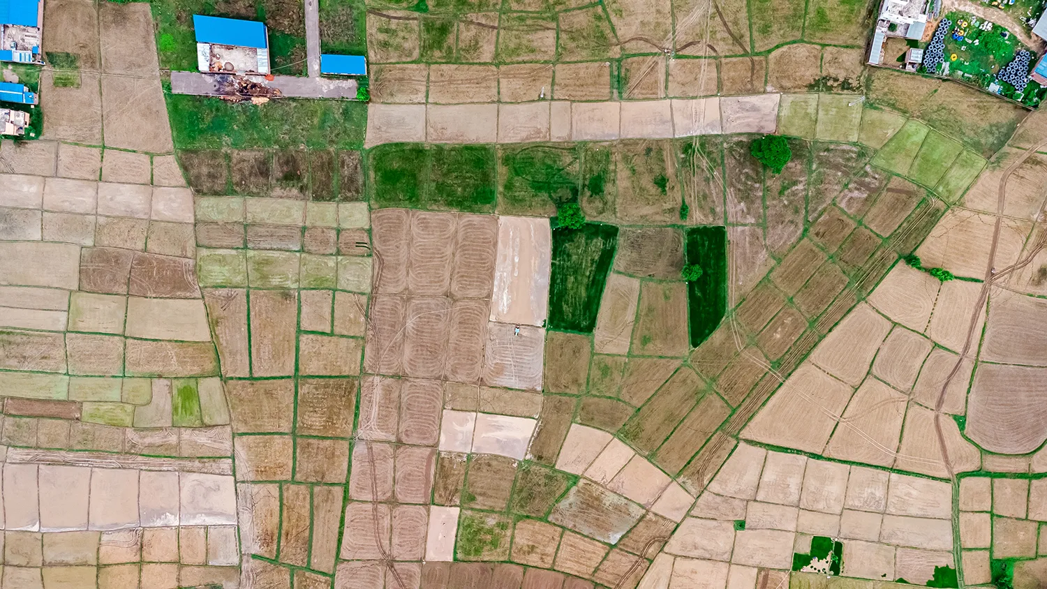
Satellite Eyes on the Fields
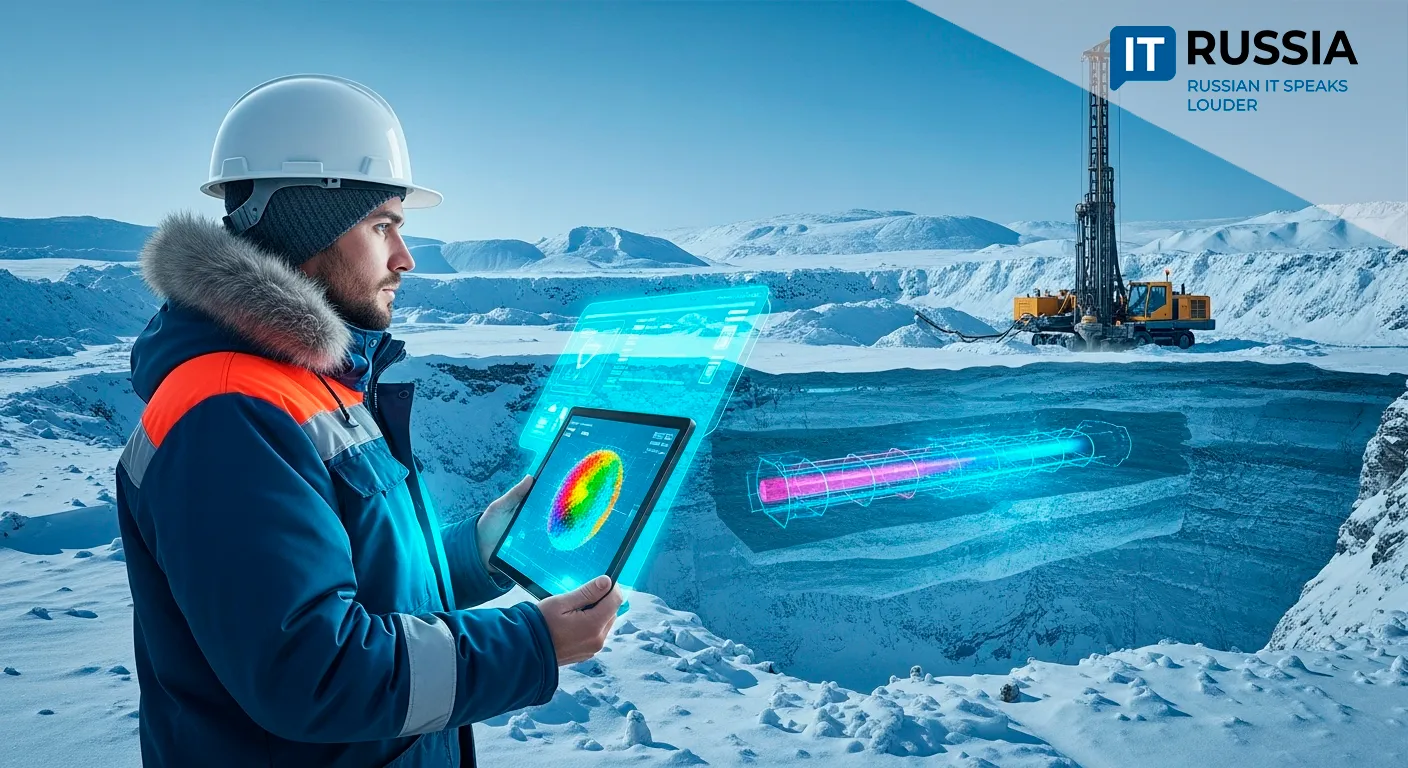
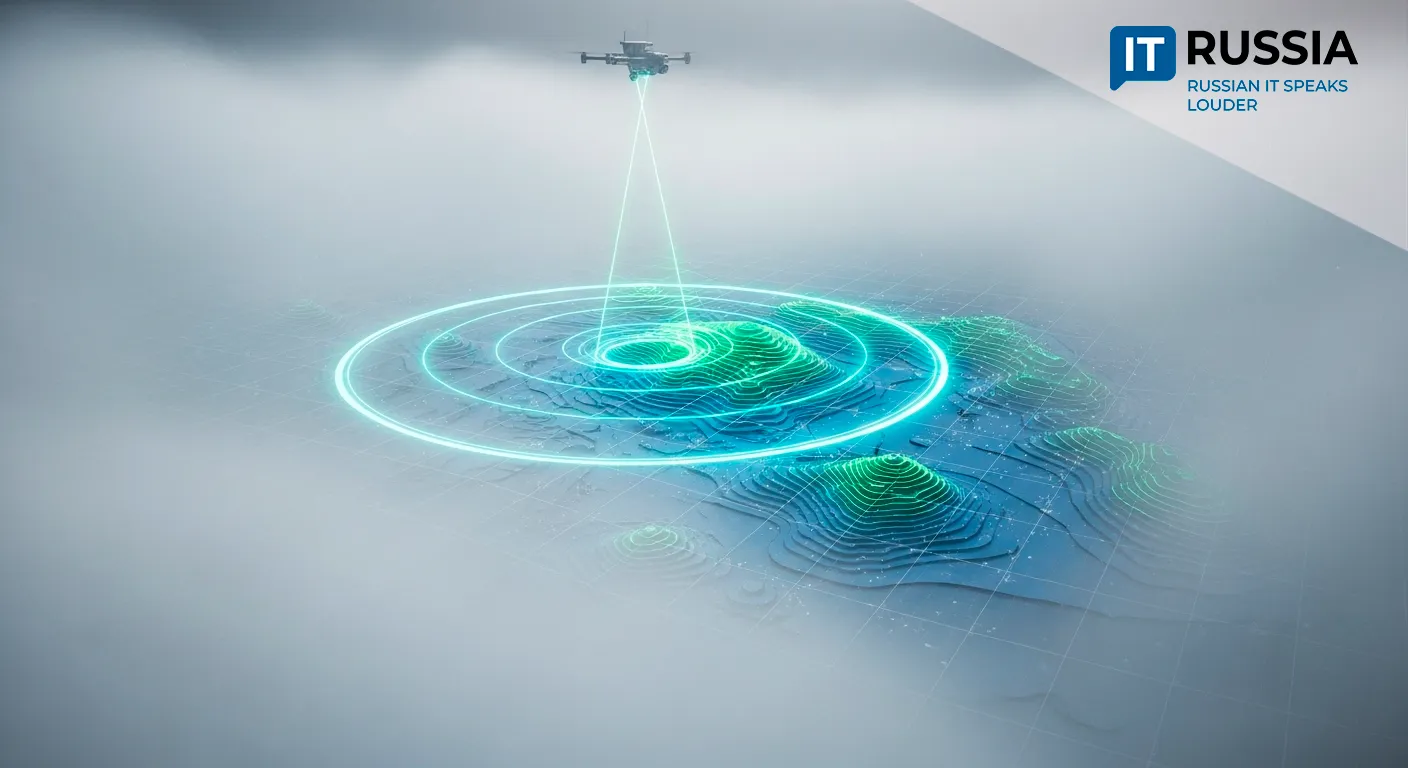
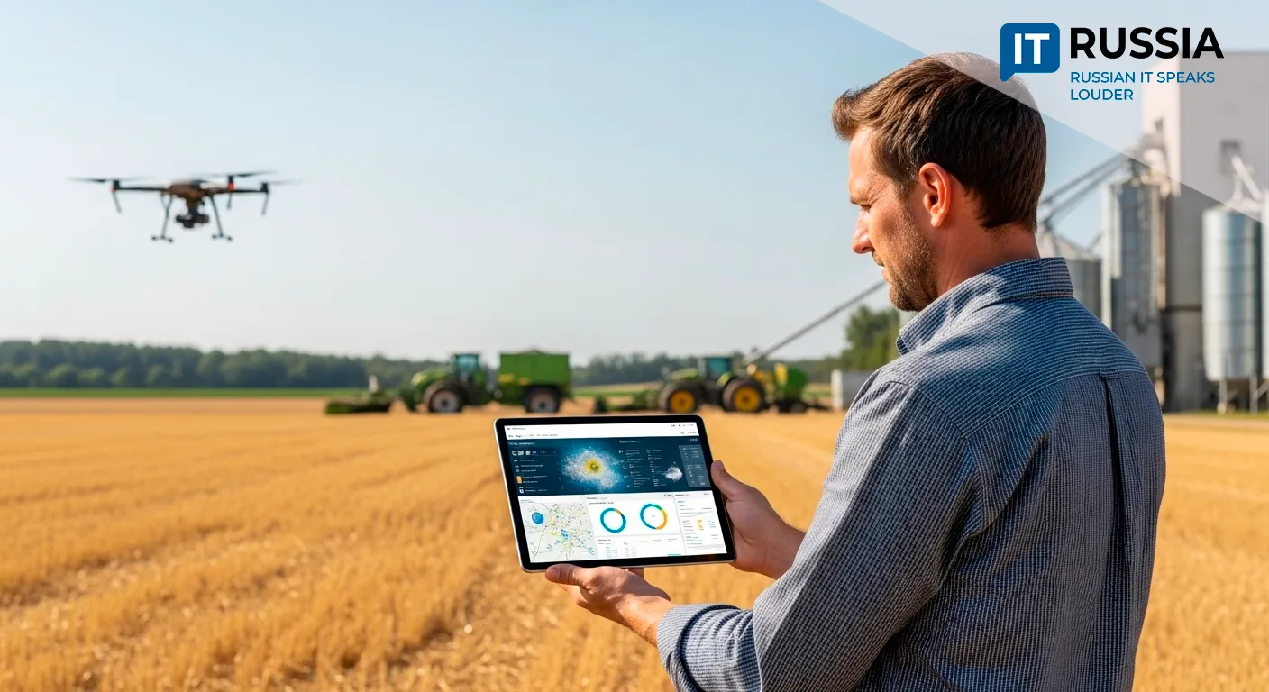
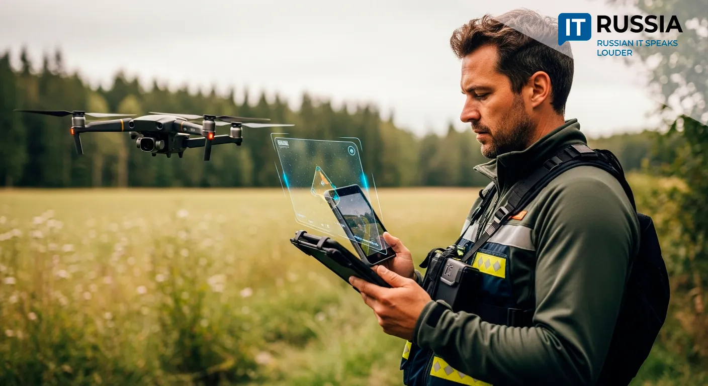
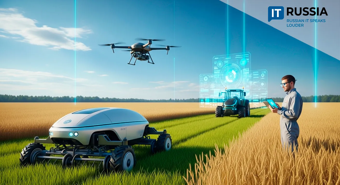
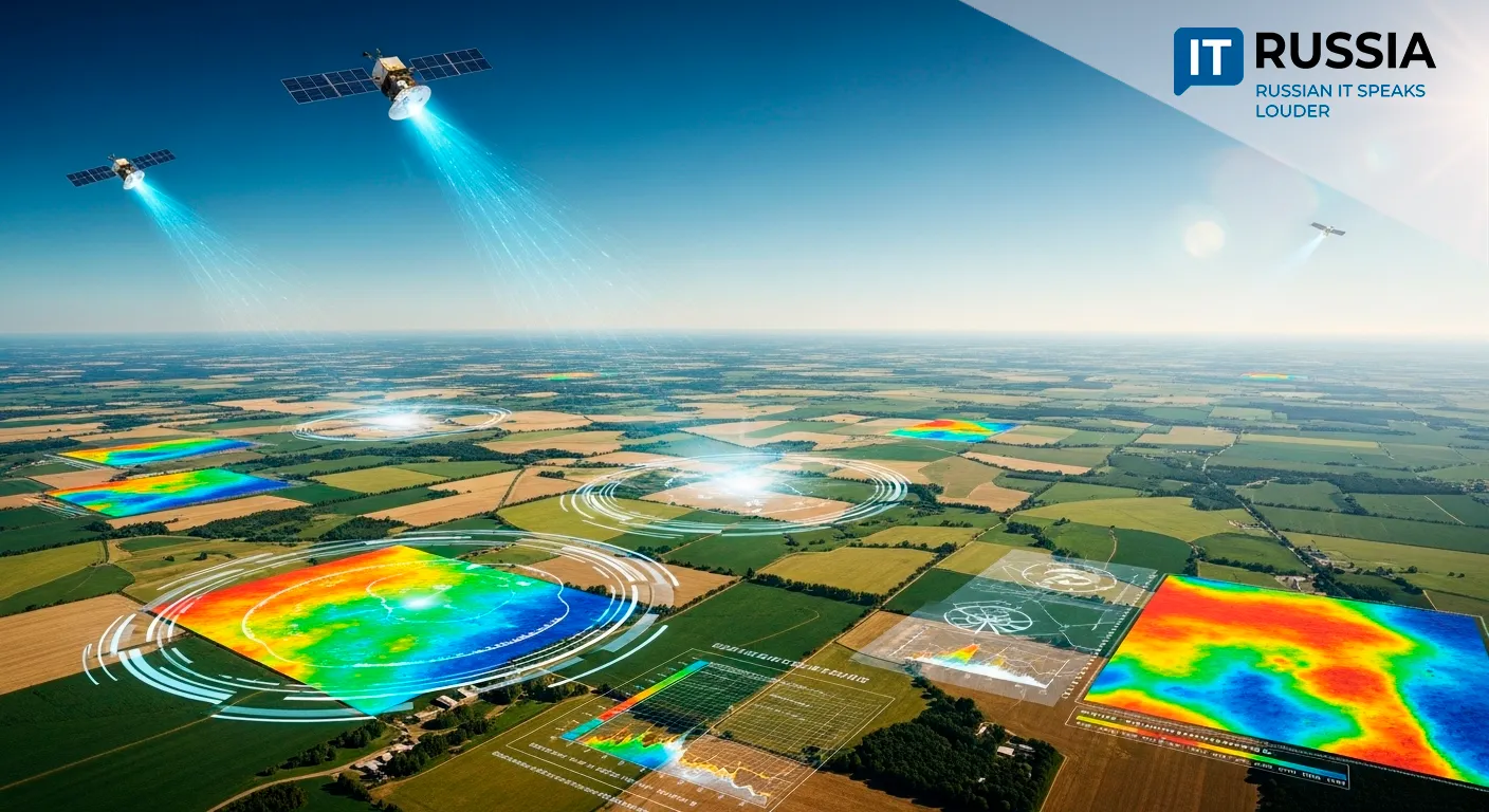
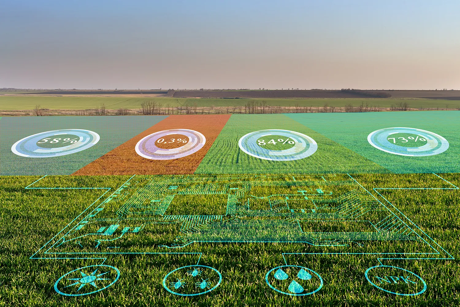
Modern precision agriculture increasingly relies on space-based technologies and artificial intelligence. Russian satellites are capable of capturing the spectral properties of soil, enabling analysis of its composition and nutrient levels. This data helps optimize fertilizer use and improve farming efficiency.
The satellites also measure moisture distribution on the soil surface, allowing for smarter water resource management. They can detect plant diseases and pest infestations early, enabling prompt intervention. Meteorological satellites contribute vital weather forecasts for crop planning and risk reduction.
In addition to productivity gains, this technology supports environmental monitoring—helping safeguard farmland and water sources.
A Digital Infrastructure for BRICS Agriculture
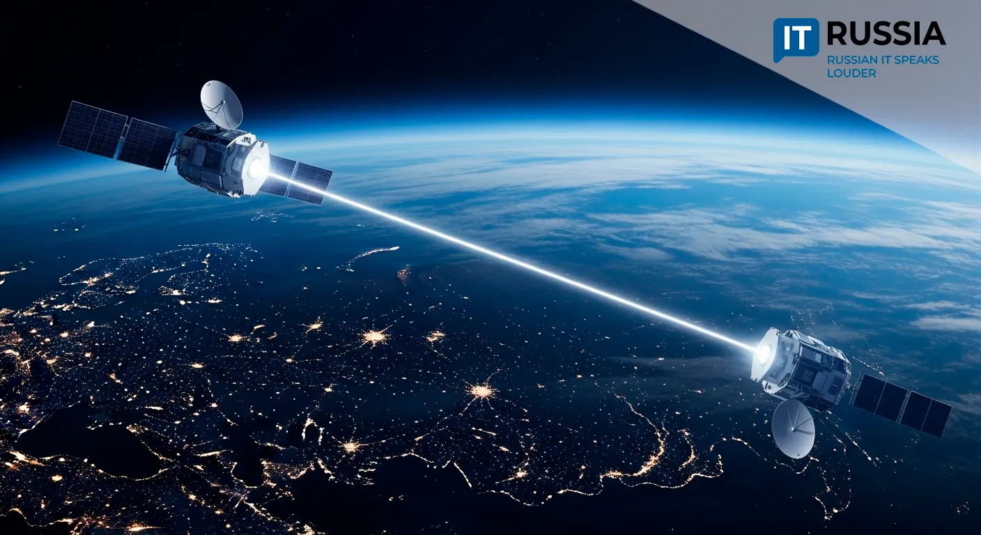
Russian geospatial technologies will form the backbone of an agricultural monitoring system for BRICS. Remote sensing data—an area where Russia is a global leader—will be central to the effort. BRICS nations, including recent new members, now operate over 1,200 satellites collectively, offering unparalleled coverage.

Geo-information technologies developed by Terra Tech, a company under Roscosmos’ Russian Space Systems holding, will be the core of this platform.
“Russian geo-information technologies and digital services, created by Terra Tech using remote sensing data, will provide the technological foundation for BRICS agricultural monitoring,” emphasized Maxim Boltachev, First Deputy General Director of Terra Tech.
Roscosmos has the experience necessary to transfer this technology to BRICS partners. The system will help lay the groundwork for a new agricultural alliance, set to launch in 2025. It will use Russian satellite and AI-driven analytics to advance sustainable and resource-efficient farming practices.
Supporting Yields and Food Security
Russia’s use of space-based agricultural analytics within BRICS began in 2021, when the alliance signed a data-sharing agreement for climate change, environmental protection, and disaster response. In 2022, Russia provided BRICS countries with satellite imagery covering over 85,000 square kilometers.
The decision to use Russian geo-information technologies for farmland monitoring is a natural extension of this cooperation.
Terra Tech has already analyzed 2.59 million hectares in Brazil, mapping farmland conditions and identifying risks. Using Pixel.AI algorithms, detailed maps of pasturelands, infrastructure, and natural features were created to pinpoint optimal areas for agricultural use.
Eventually, this unified geo-platform will accept satellite data from all BRICS members and be accessible not only to the alliance but also to EAEU and SCO nations.
Toward Global Environmental Tools
This initiative positions Russia as a global exporter of satellite analytics technologies. Meanwhile, its partners gain access to high-precision climate and environmental models. These tools are vital for combating desertification and addressing global food security