

Automobile Won’t Get Lost in the “Concrete Jungle”: A Development by MEPhI Researchers
Darya Markova, a staff member of the Department of Computer Systems and Technologies at National Research Nuclear University MEPhI, has proposed a navigation system that allows a vehicle to determine its exact position even where satellite signals are unavailable.
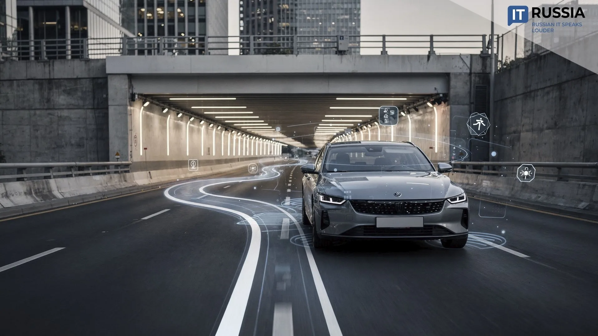
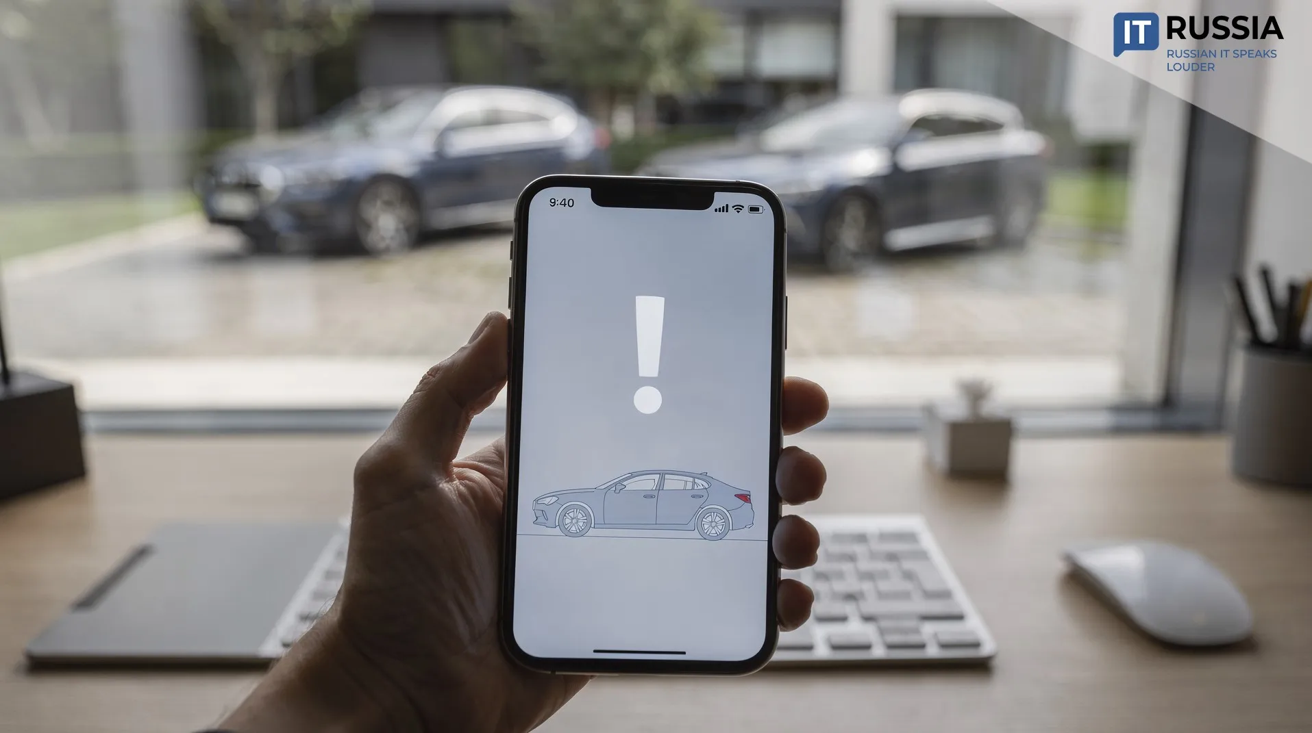
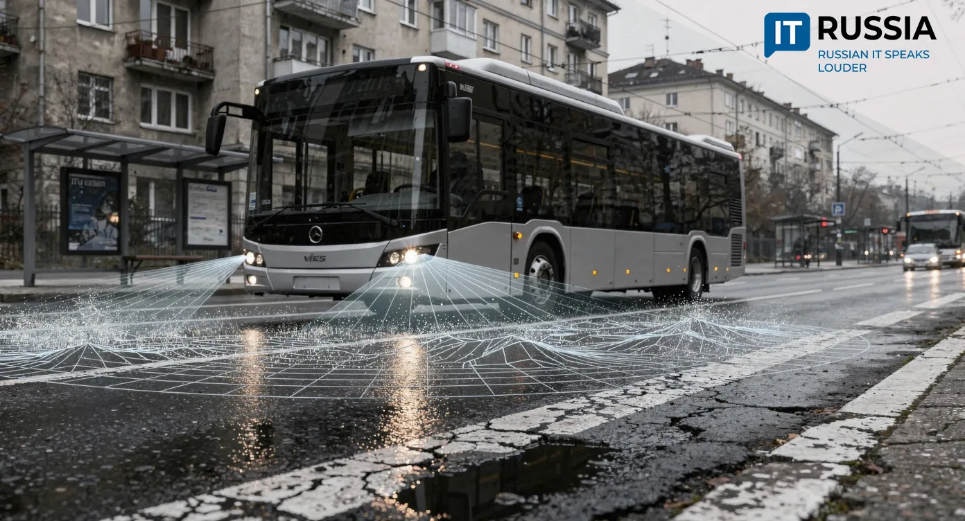
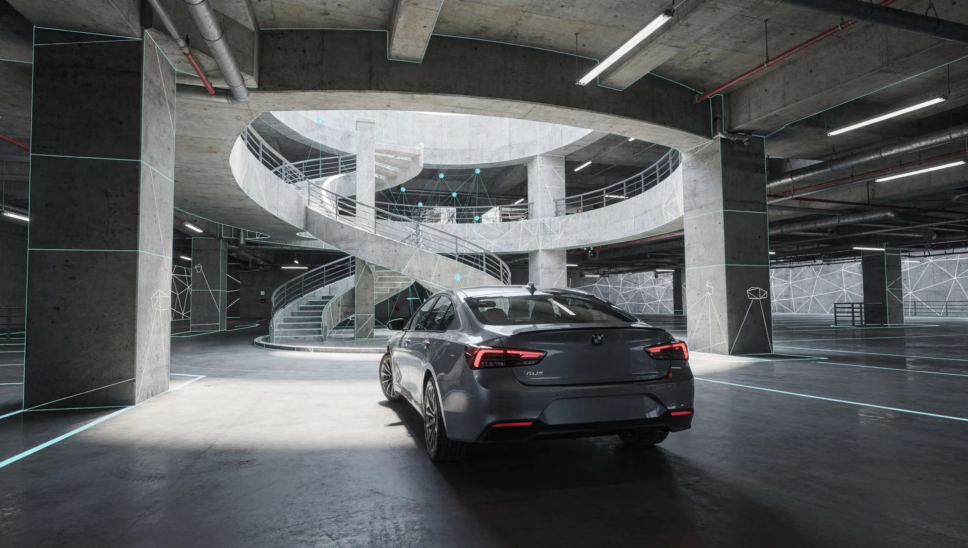
A situation familiar to every driver: the navigation app on your phone or the vehicle’s built-in system suddenly goes “blind” – you enter a tunnel, drive down into a multilevel parking garage, or find yourself surrounded by dense urban development where the GPS signal disappears. The screen freezes, the map marker stops moving, and you have to drive by guesswork, relying on memory and intuition. As autonomous vehicles become more common on the roads, that kind of navigation failure is no longer acceptable.
Darya Markova, a staff member of the Department of Computer Systems and Technologies at National Research Nuclear University MEPhI, is working on a solution. In her research, she has presented a hardware-software system that allows a vehicle to continue navigating even when satellite signals disappear completely.
Inertial Navigation Plus Odometry
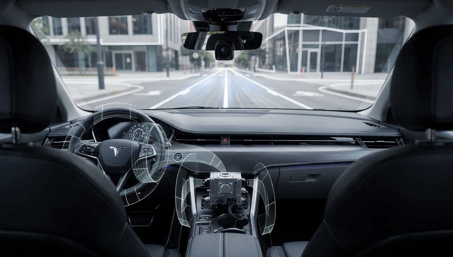
The system combines data from several sensors found in modern vehicles. These include an inertial measurement unit (IMU), which measures the vehicle’s acceleration and rotation, and a wheel odometer that tracks the distance traveled. It might seem that the problem is simply a matter of combining their readings. But as Markova notes, dead reckoning accumulates errors very quickly. Position drift can reach tens of meters within just a few minutes of driving without satellite corrections.
To address this problem, Markova proposes an extended Kalman filter, a mathematical algorithm that continuously matches data from the inertial sensors with odometry measurements. In one study focused on integrating the two data sources, she significantly reduced the positioning error. Over a two-kilometer stretch without a global navigation satellite system (GNSS) signal, a conventional system accumulated an error of up to 14.8 meters. With the proposed algorithm and adaptive tuning, the maximum deviation stayed within 4.9 meters.
Zero-Velocity Updates and Robot Vision
Dead reckoning alone cannot solve the problem. Markova’s second study develops the use of zero-velocity updates (ZUPT). The idea is straightforward: when the vehicle comes to a complete stop, such as at a traffic light or in a traffic jam, the system knows that its speed is exactly zero. It uses that moment to reset accumulated errors and keep them from growing. It is similar to stopping when you are lost and checking the map to correct the accumulated error.
But stops in city traffic do not always happen, or happen as often as the system needs. That is where the system’s third component comes in: a front-facing camera and visual odometry. Computer-vision algorithms analyze the images, identify stable landmarks such as building outlines, road signs and infrastructure elements, and compare them with previously captured frames. In effect, this is visual SLAM, allowing the vehicle to recognize places it has already passed and correct its course.
The Synergy Effect
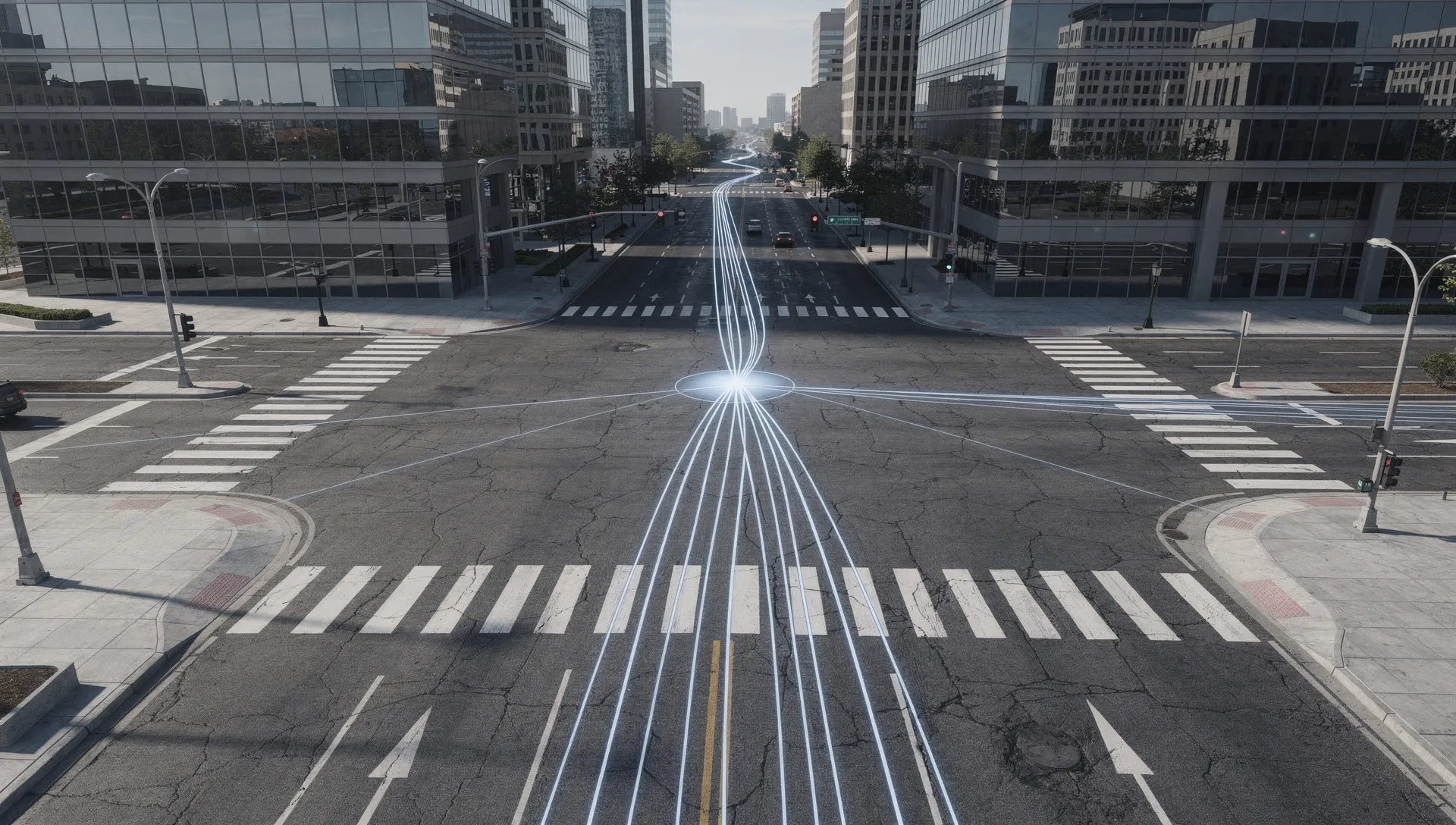
The most interesting results emerge when all three methods – inertial navigation, zero-velocity updates and visual localization – work together. According to Darya Markova, the combined mode produces a synergistic effect. In field tests on an urban route that included a tunnel and a multilevel parking garage, the system recorded an average position error of just 0.3% of the distance traveled. Over a five-kilometer route, the maximum deviation was no more than 10 meters, while pure inertial navigation sent the vehicle 65 meters off course.
In some scenarios, moreover, the combined system was more accurate than the vehicle’s standard GPS receiver, which can suffer from reflected signals in dense urban areas and produce position jumps of tens of meters.
Accessibility and Next Steps
Markova’s development is designed for mass-market use. It does not require expensive laser gyroscopes or LiDAR. Instead, the system runs on low-cost MEMS sensors, a standard camera and a 32-bit microcontroller. The software is built on ROS 2, making it compatible with modern robotics platforms.
The next steps include adding new sensors, such as lidar and ultrasonic rangefinders, as well as machine-learning methods for recognizing landmarks. That could overcome the system’s remaining limitations, including operation in complete darkness, and enable reliable autonomous navigation over distances of more than 20 kilometers without any external support.