Precision Forecasting: Russian Researchers Develop 99.994% Accurate Landslide Prediction Model
A collaborative breakthrough between Russian and Chinese scientists has yielded a new mathematical model for predicting debris flows with a near-perfect margin of error—just 0.006%. The innovation, tested in China and now preparing for rollout in Russia, represents a leap forward in natural disaster prevention.
Not a Flood, but a Scientific Breakthrough
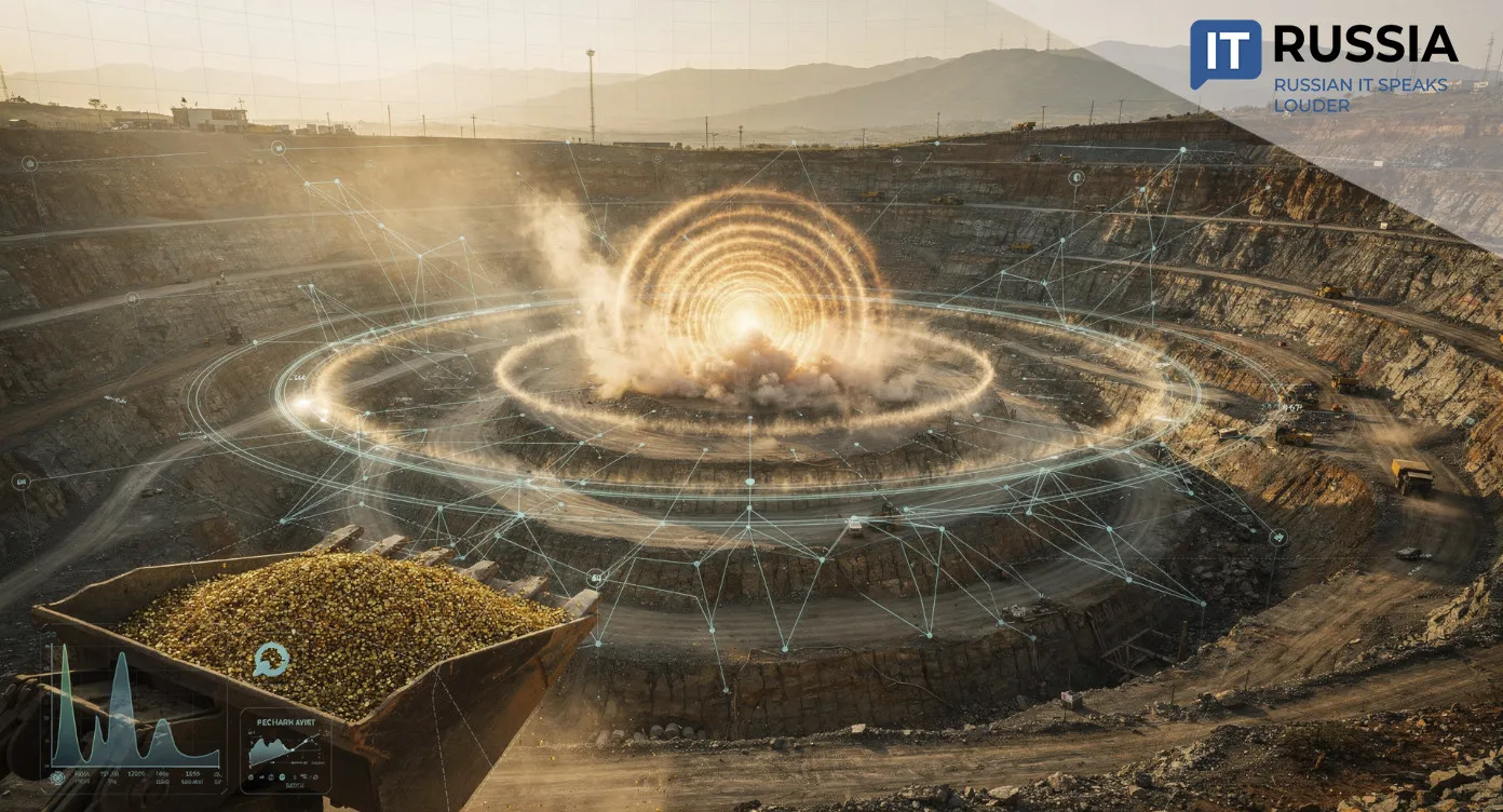
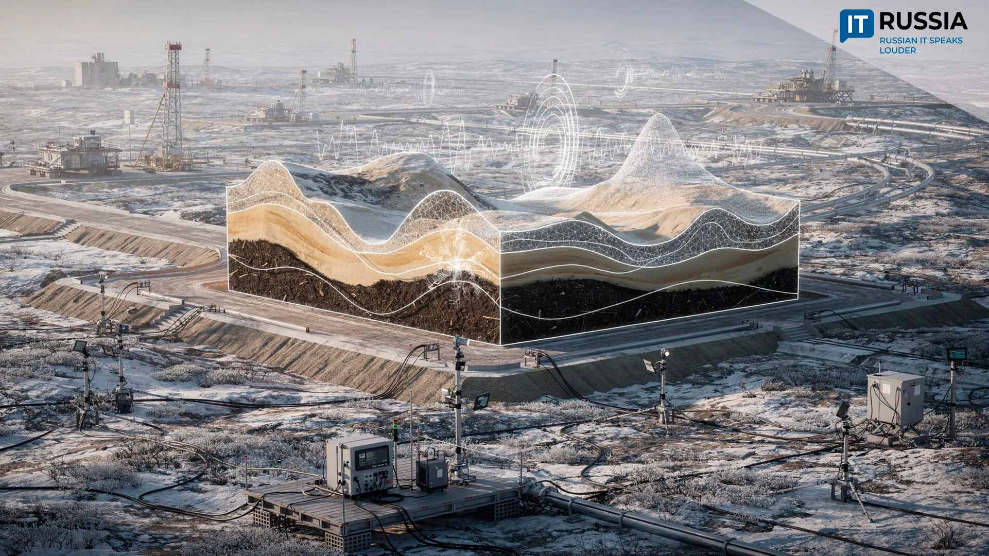
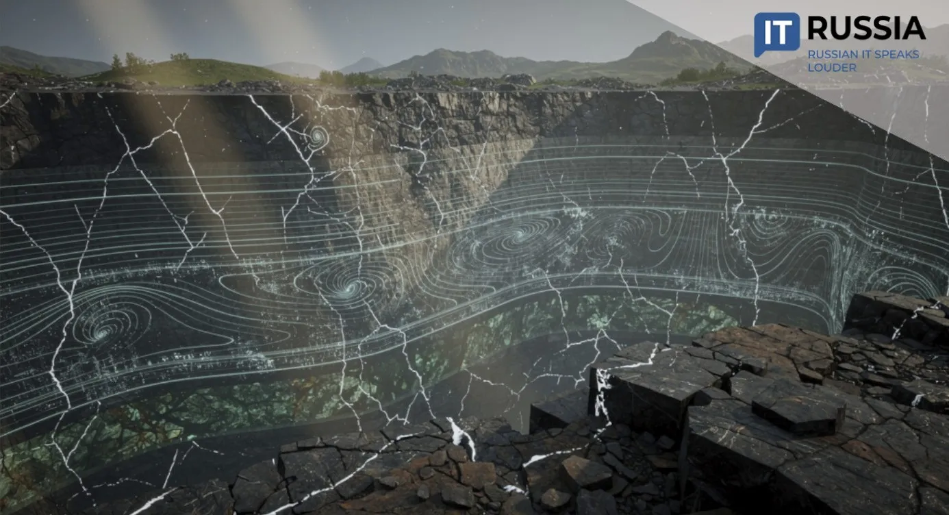
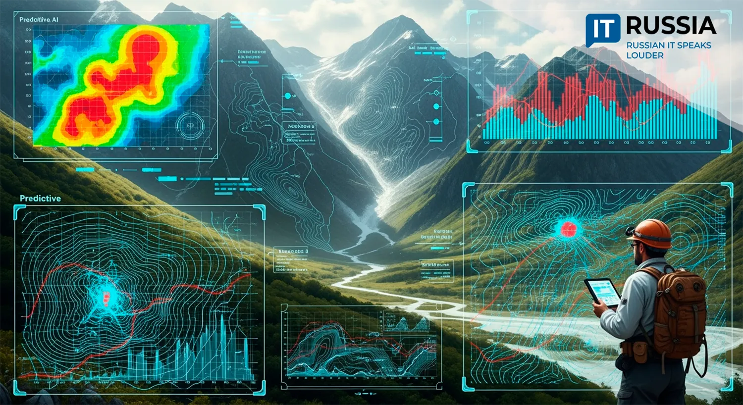
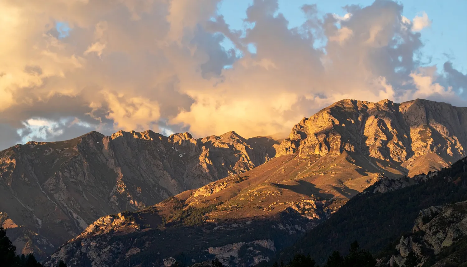
While conventional landslide prediction systems focus mainly on rainfall and topography, this new model introduces a more nuanced variable: the accumulated energy in soil and loose ground. Researchers found that the risk of a debris flow sharply increases when the energy of unstable soil exceeds 3 billion joules per square meter and daily rainfall reaches 27 millimeters.
The model’s precision offers a critical advantage—it enables early warnings that can save lives and mitigate property loss. Validated against data from 159 landslide sites in China’s Nujiang River Basin, the algorithm demonstrated both reliability and adaptability, with clear potential for scaling in other geographies based on localized environmental data.
Mathematics Built to Save Lives
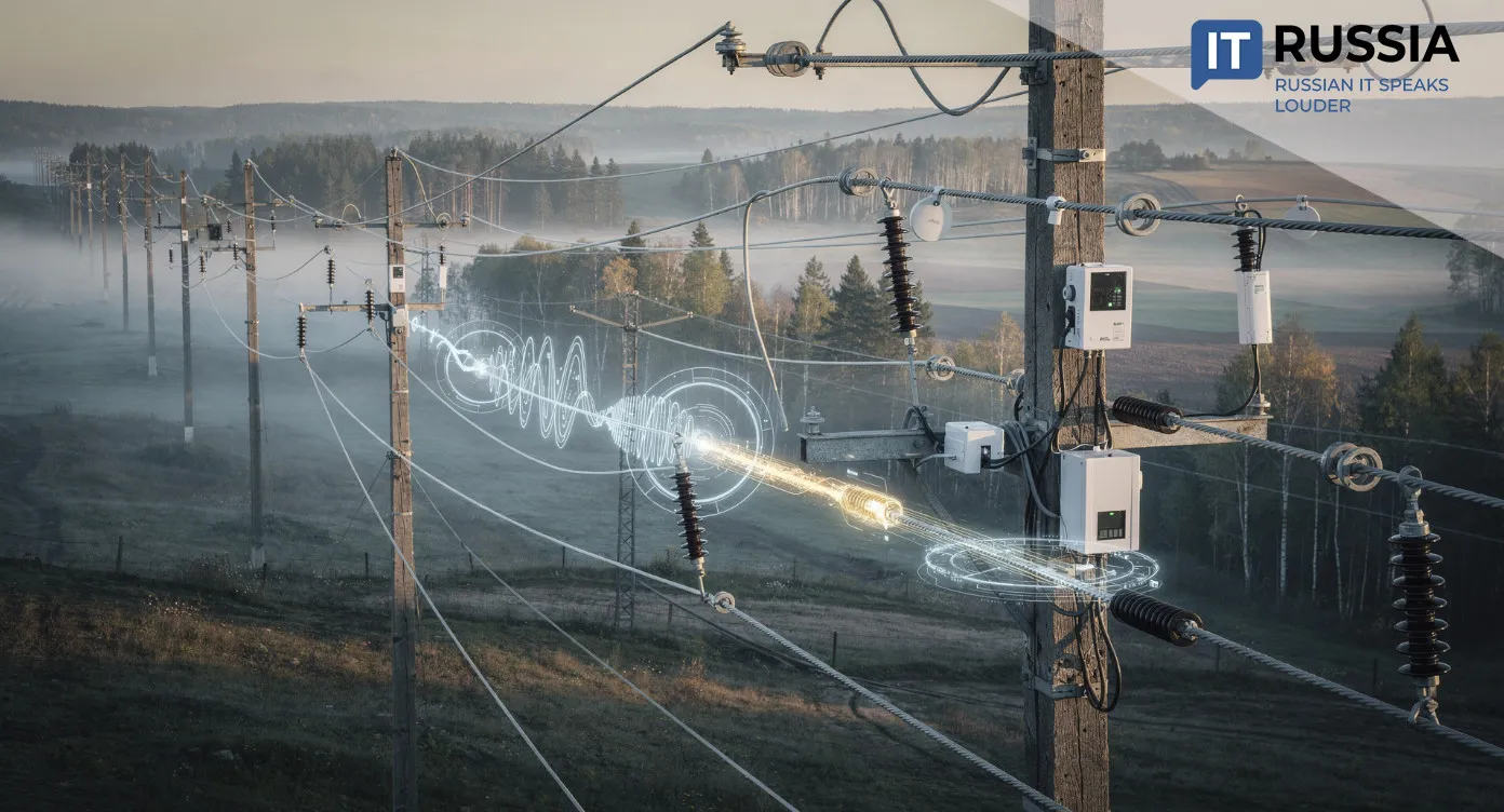
Developed by the Ural Federal University (UrFU), this is Russia’s first high-precision digital risk assessment tool for natural disasters. The software is designed not only to forecast catastrophic events but also to support civil engineering and construction planning in hazard-prone regions.
As landslides continue to increase globally—exacerbated by extreme weather and deforestation—countries are scrambling to adopt predictive analytics. Russia has been responding: the Russian Academy of Sciences developed portable moisture and geo-compaction sensors, while pilot programs in Sochi and Kamchatka tested early-stage landslide monitoring tools. China, too, has made GIS-based disaster monitoring a focus, particularly in Yunnan Province.

But UrFU’s model stands out for its granularity and low margin of error, setting a new benchmark in the field.
Engineering a Safer Future
The new model is a direct response to climate change-driven disasters. UrFU aims to deploy the software in Russia’s mountainous regions and expand its scope to monitor soil shifts in Central Russia, where unprecedented downpours have led to a surge in landslides.
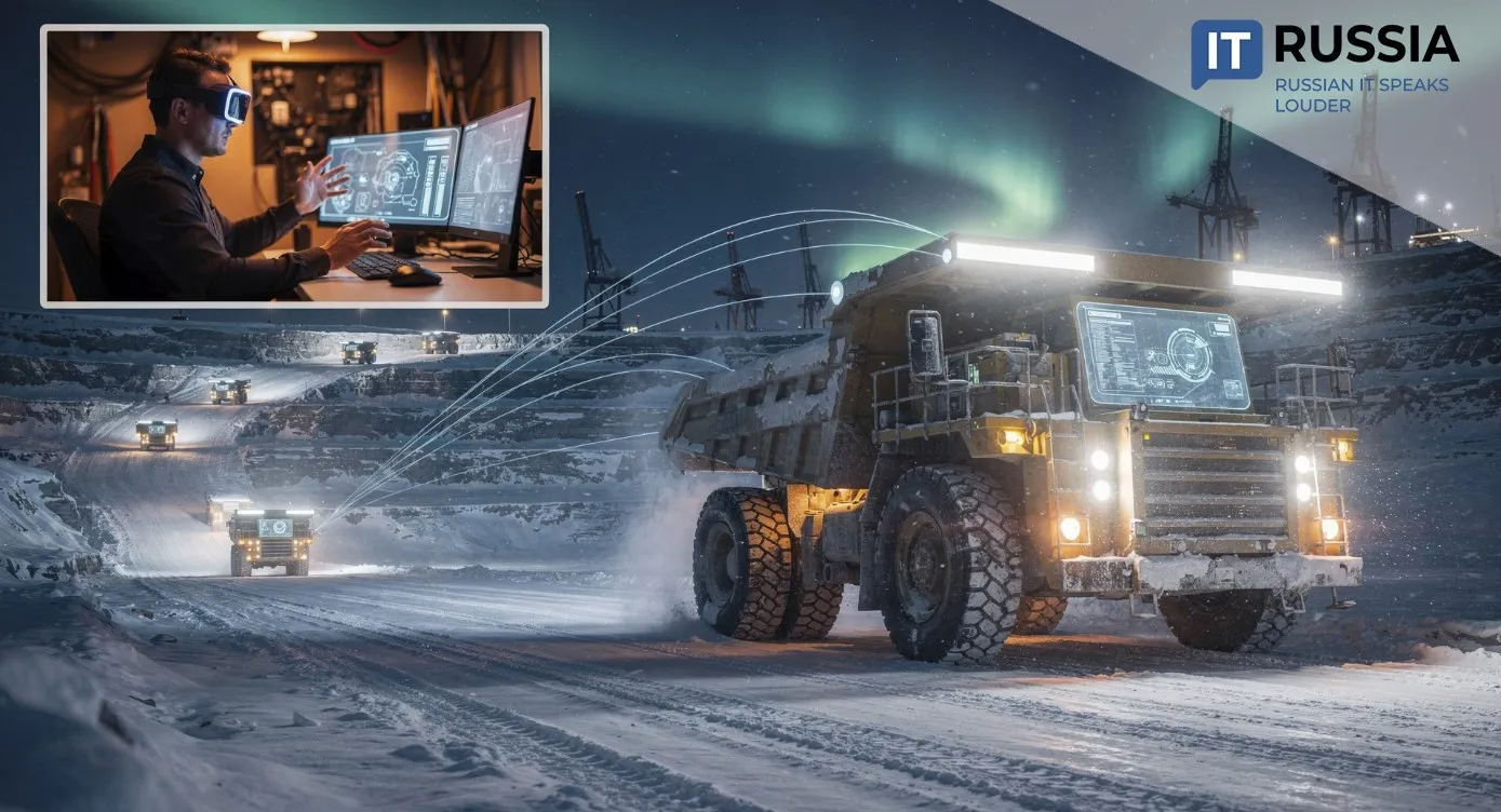
Long-term plans include integrating the system into Russia’s emergency response infrastructure. Future upgrades will incorporate sensors for additional metrics, artificial intelligence for automated detection, and GIS platforms for real-time visualization. There is also a roadmap for international distribution.
This is more than a scientific win—it’s a public safety tool that could prevent disasters and save lives, while reinforcing Russia’s role as an emerging leader in predictive analytics and disaster resilience.