

Russian IT Helps the Altai Mountains Breathe
Glaciers are more than beautiful landscapes: they are strategic freshwater reserves and indicators of global warming. To forecast glacier melt in the Altai Mountains, scientists at Tomsk State University (TSU) have begun creating digital twins of the glaciers.
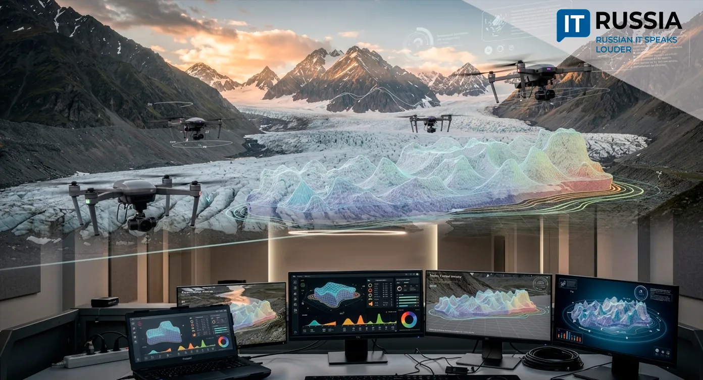
Uncrewed aerial vehicles, satellite geodesy and 3D modeling could help prevent water shortages, avert dangerous natural disasters and assess changes in the climate.
A Melting Resource
The Altai Mountains are home to more than 1,300 glaciers covering a total area of about 900 square kilometers. These ice bodies are the region’s main natural reservoirs of freshwater. Since the mid-19th century, however, they have lost about half their area. The melting is also accelerating.
Scientists can reconstruct the former extent of the ice from satellite imagery. The images reveal moraines – ridges of rock left behind as glaciers melt. But for researchers, the key question is what happens next: how quickly the region’s glaciers are shrinking and what consequences that decline will bring. That is why TSU has begun creating high-precision 3D models of the glaciers. The project started with four glaciers and is expected to eventually cover 80 glaciers in the Bish-Iirdu massif.
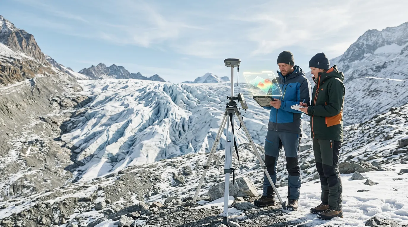
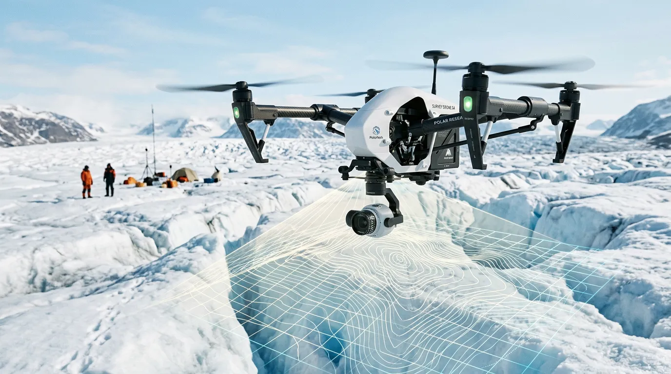
Researchers use drones to conduct aerial surveys, tying the data to TSU’s geodetic reference network. Digital elevation models can be built with an accuracy of a few centimeters, making it possible to calculate critical indicators such as the rate of melting, changes in ice area and volume, and snow-cover thickness, while also tracking dangerous landslides and moraine collapse.
Accelerated glacier melt can initially raise water levels and increase the risk of flooding. Once ice reserves are depleted, however, the effect could reverse, reducing summer river flows. That would affect water supplies, livestock farming, crop production and small-scale hydropower. Regular, high-precision monitoring is the only way to determine when this critical point will be reached.
A Technology Colossus
In 2023, scientists and students at Altai State University conducted a comprehensive study of the small Left Irbistu Glacier. Using Earth remote-sensing data, drone surveys and ground-penetrating radar measurements, they produced an orthophotomap, digital elevation models and a high-precision 3D model of the glacier.
Ground-penetrating radar “imaging” showed that over just a little more than 20 years, since Tomsk glaciologists began their first measurements in the 2000s, the glacier’s thickness had decreased by about 30 meters in some areas, while its length had shrunk by 144 meters, or about 6.8 percent. The detailed 3D model and coordinate grid now provide a precise baseline for annual monitoring of the rate of melting and glacier retreat under the influence of global climate change.
The Left Aktru Glacier is also part of the international glacier observation system. The global interest in the issue is growing as well: according to UNESCO and the World Meteorological Organization, glaciers and ice sheets hold about 70 percent of the world’s freshwater, and more than 2 billion people depend on them for water.
Meanwhile, the Altai Mountains are not the only region drawing the attention of Russian scientists. Today, Roscosmos satellites regularly monitor glaciers in the Caucasus Range as well. The spacecraft track changes in glacier area, melting rates and the movement of glacier masses, and they help detect in time when proglacial lakes become dangerously full and could burst, triggering debris flows.
The unified geoinformation database used for monitoring is the Katalog lednikov Rossii (Catalogue of Russian Glaciers), created by the Institute of Geography of the Russian Academy of Sciences. Compared with the USSR Glacier Inventory, the area covered by glaciers in Russia has decreased by 9.3 percent.
At the Cutting Edge of Science
Digital glacier models could be used to conduct a global analysis of the ice mass balance in the Altai over recent decades and develop mathematical models capable of predicting the behavior of the region’s rivers years into the future with high accuracy. The data will provide a foundation for managing water resources as the climate changes.
Russian company Geoscan has used a similar type of aerial surveying in the highlands of Altai in northwestern Mongolia. TSU already has a related project in the Yamalo-Nenets Autonomous Okrug, where drones equipped with laser scanners have been used to study cryogenic processes along the Nadym–Salekhard road. The same technological class – UAVs combined with high-precision sensing – can be applied to glaciers, permafrost and northern infrastructure alike.
The digital twins now being created by TSU are a tool for survival. They provide forecasts that can support water-supply planning, help agriculture adapt and allow communities to prepare for crises.