

Drones to Watch Over Cultural Heritage
On Sakhalin, Russia has begun using unmanned aerial vehicles (UAVs) to monitor cultural heritage sites.
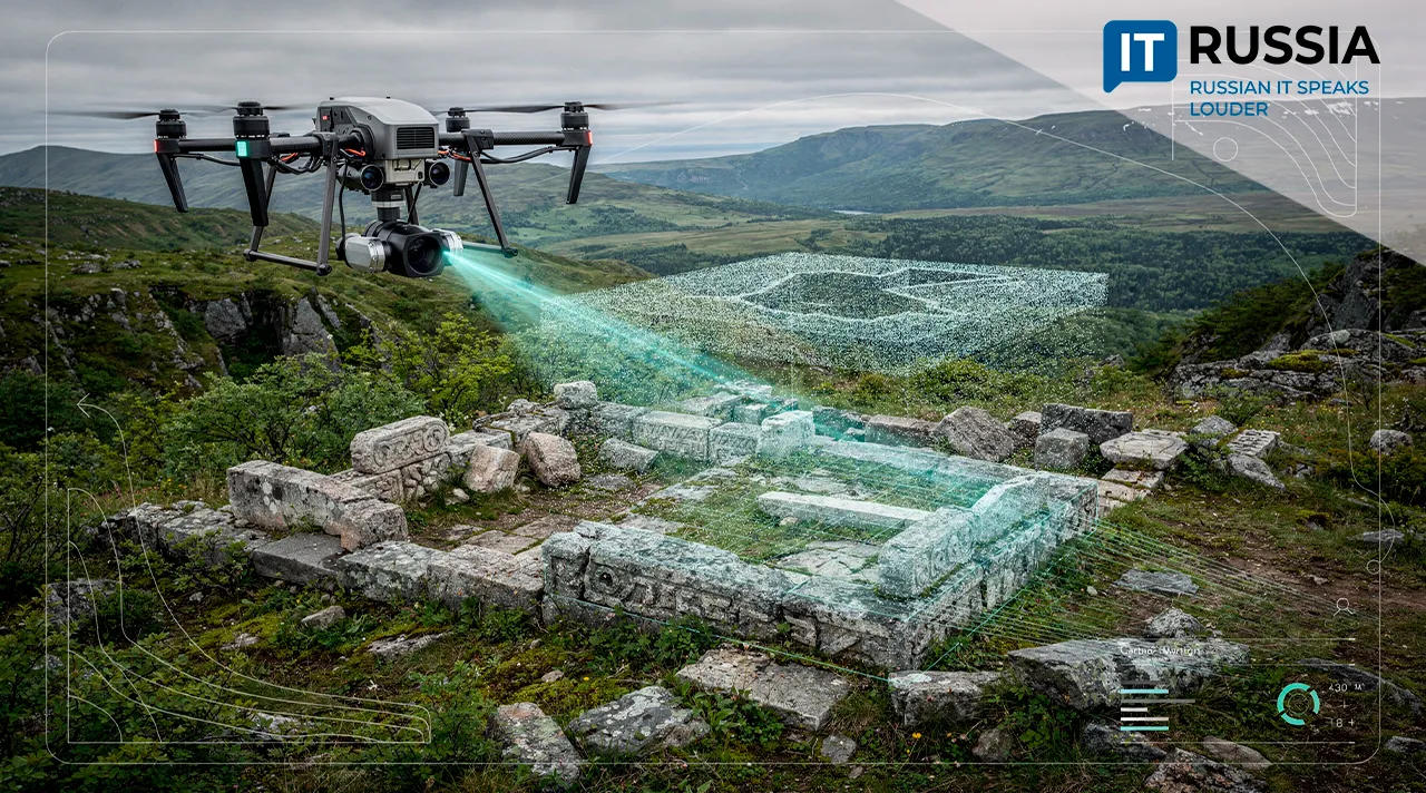
According to Russia’s Ministry of Culture, as of June 2026, the country has about 162,000 registered cultural heritage sites, more than 14,000 of them in unsatisfactory condition. Heritage protection laws require the relevant authorities to conduct ongoing oversight of these sites. But the geography and transportation challenges of some regions, including Sakhalin Oblast, make it impossible to carry out regular in-person inspections of every site.
Neither Weather nor Bears Can Get in the Way
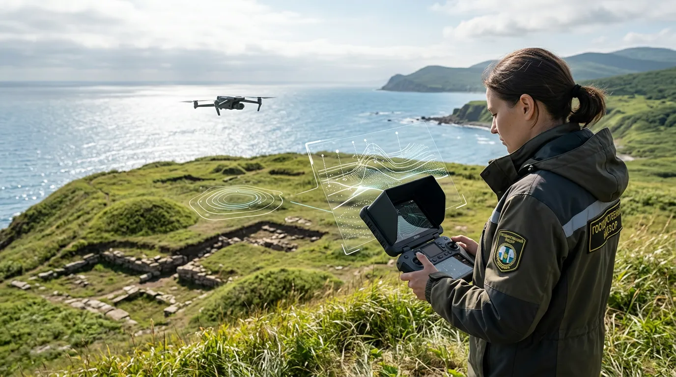
Public officials have found a way around the problem: the condition of cultural heritage sites can now be assessed with modern technology. Aerial surveys of the sites will be conducted using UAVs, and the resulting imagery will be analyzed with artificial intelligence.
As Artur Odintsov, lead analyst at the State Inspectorate for the Protection of Cultural Heritage Sites of Sakhalin Oblast, explained, his colleagues have to contend with rugged terrain, dense vegetation, ravines, and a large number of bears. Inspecting heritage sites hundreds of miles from the administrative center can take several days. When staff are in short supply, the task becomes even more difficult.
“Our inspectorate has six employees, including two inspectors responsible for the entire region. Take the federal site Stoyanka ozera Sedykh-1 (Sedykh Lake-1 archaeological site), for example. Located in the Korsakovsky Municipal District, it covers 35 hectares. One inspector simply cannot walk across an area that large in a reasonable amount of time,” the expert said.
UAVs can help solve all of these problems. A drone is not hindered by difficult terrain, bad weather, or long distances. Using the technology also eliminates risks to people. Data collected by the UAV is processed with Russian AI-based software that is included in the country’s official registry of domestic software.
The Impact of the Technology
A federal program for preserving cultural heritage sites calls for the development of registries, digital services, and platforms through 2045 to bring greater order to heritage management. Drone technology can make a significant contribution. Using UAVs will make it possible to detect changes or damage to sites quickly and send specialists specifically to locations where an in-person inspection is actually needed.
The use of UAVs to protect heritage sites is particularly relevant in the Russian Far East, Siberia, northern regions, and areas containing large archaeological complexes.
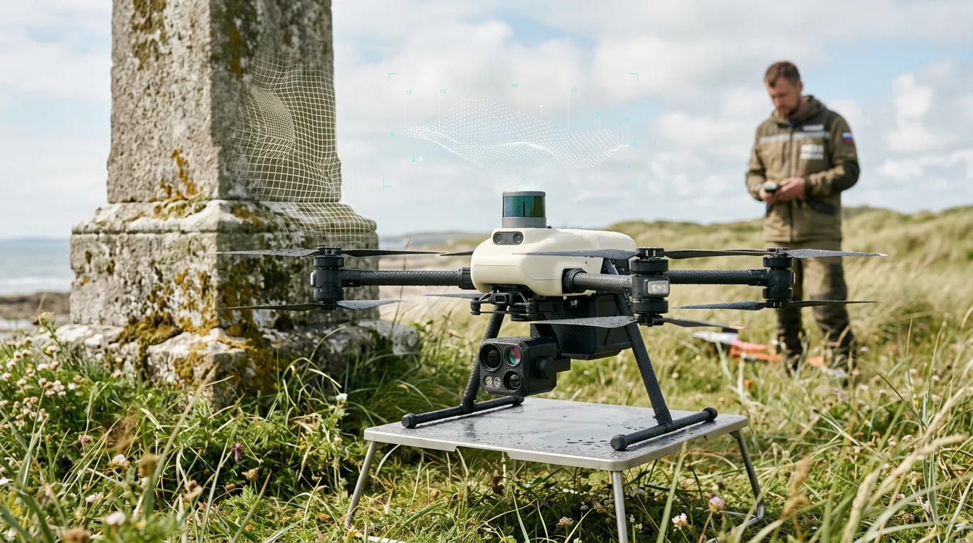
Russian archaeologists have already been successfully using UAVs for several years. For example, the Institute of Archaeology and Ethnography of the Siberian Branch of the Russian Academy of Sciences used a system combining a drone with a LiDAR laser aerial-scanning sensor to determine the boundaries of cultural heritage sites in Novosibirsk Oblast. LiDAR is particularly useful in forested areas, where ground surveys are difficult, and 40% of the archaeological sites near Novosibirsk are located in such conditions. The proven effectiveness of UAVs makes it possible to expand this work and develop more sophisticated systems with built-in analytics that can not only document a site’s condition but also generate forecasts.

Automated Digital Models and Risk Assessment
Over the past five years, Russian practice has evolved from using quadcopters to measure individual heritage sites and create 3D models to deploying UAVs equipped with LiDAR, ground-penetrating radar, and other sensors.
Using UAVs on Sakhalin to monitor the condition of heritage sites marks a new stage in the digitalization of cultural heritage management. Regional government oversight authorities are now using UAVs directly, while the survey results are supplemented by automated AI-based analysis.
The experience accumulated by Russian professionals shows that UAVs can do more than take photographs. They can also perform laser scanning, mapping, and remote searches for sites. In the future, the system is expected to be supplemented with automated comparison of survey data from different flights, the ability to generate digital models, and tools for flagging potential changes for follow-up inspections. In parallel, a unified technological framework for continuous remote monitoring of heritage sites will be developed, as provided for by the government program through 2045.