From Above: How Drones Are Transforming Land Management in Russia
On August 4, 2025, the Russian government passed a landmark resolution officially authorizing the use of unmanned aerial systems (UAS) for state land supervision. This move not only legalizes an already established practice but also opens new opportunities for the digitalization of land resource monitoring.
Taking Off to Spot Violations
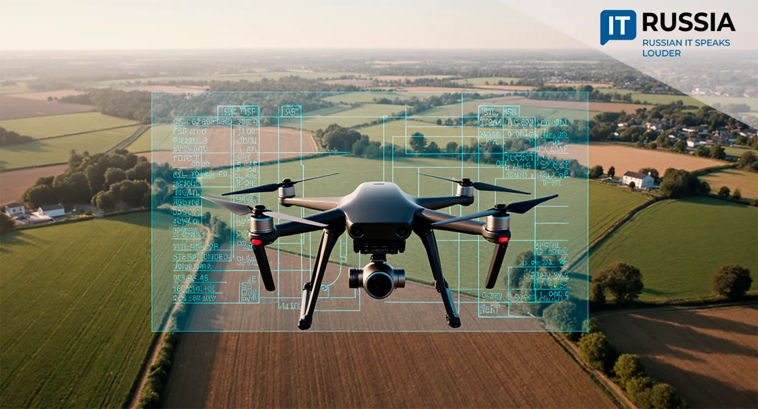
Rosreestr, Russia’s Federal Service for State Registration, Cadastre, and Cartography, has been using UAS since 2018. In 2017–2018, the agency launched pilot projects in the Tula Region and the Republic of Tatarstan to introduce remote technologies for state land supervision.
The trials proved successful. Drones produced high-quality images and orthophotos that allowed for more accurate assessments of land conditions, precise identification of boundaries, and effective monitoring of compliance with land legislation. In 2019, a dedicated center for UAV operations was established.
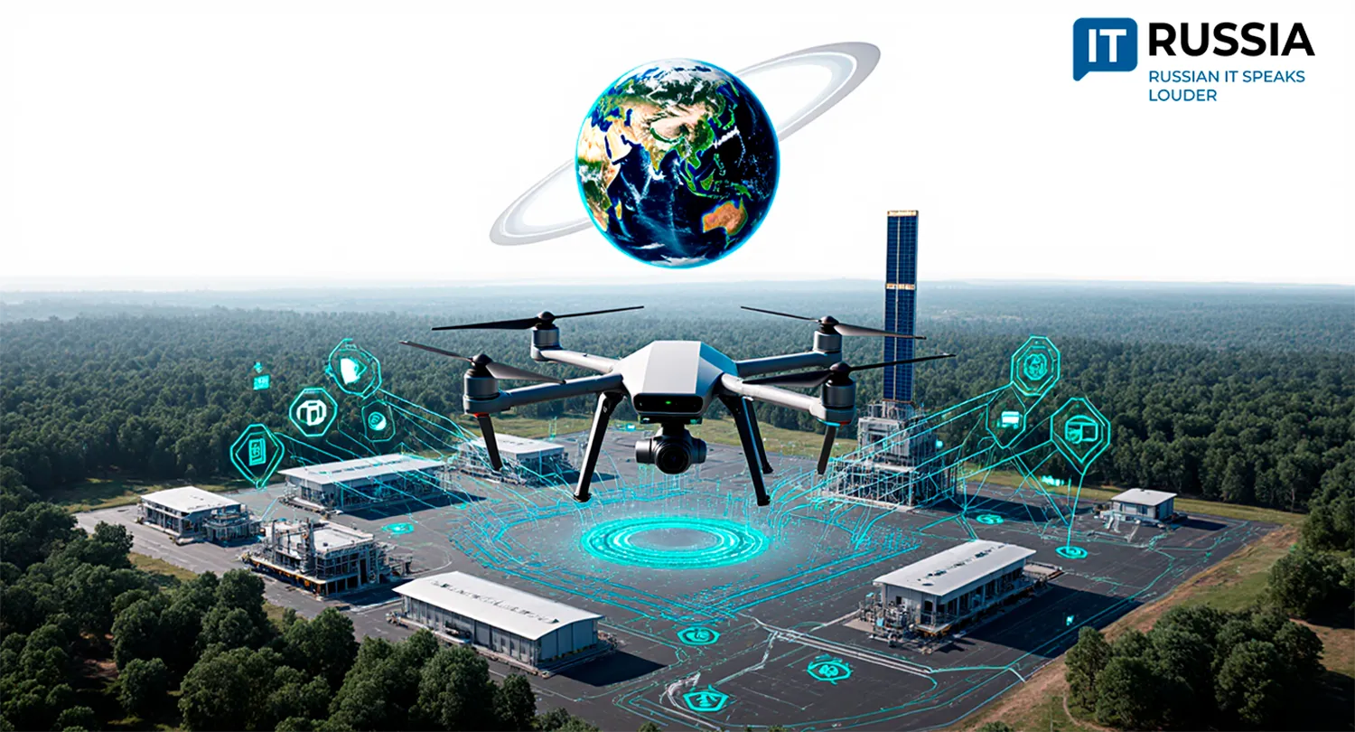
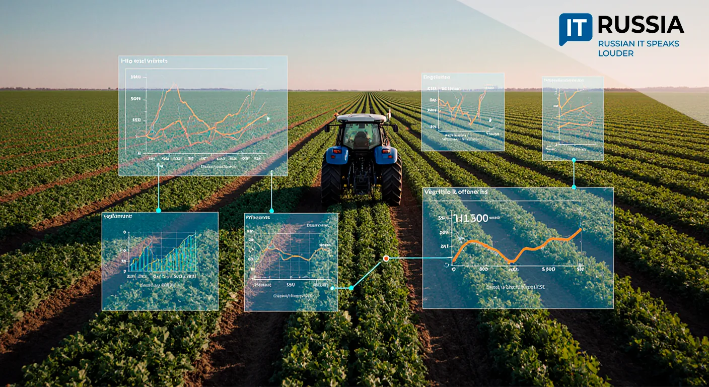
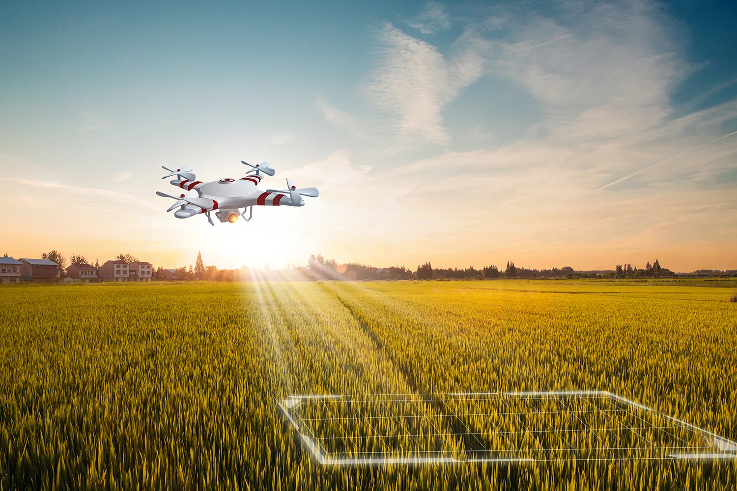
Today, Rosreestr operates 126 unmanned aerial systems. In 2024 and the first half of 2025, drones conducted more than 2,500 flights, surveying about 143,000 hectares of land. The Federal Service for Veterinary and Phytosanitary Surveillance (Rosselkhoznadzor) has also reported high productivity from drone-assisted inspections: in the first half of last year, UAS surveyed 62,000 hectares of farmland, identifying violations such as overgrowth and illegal dumping on nearly 45 hectares.
Inspecting Every Inch
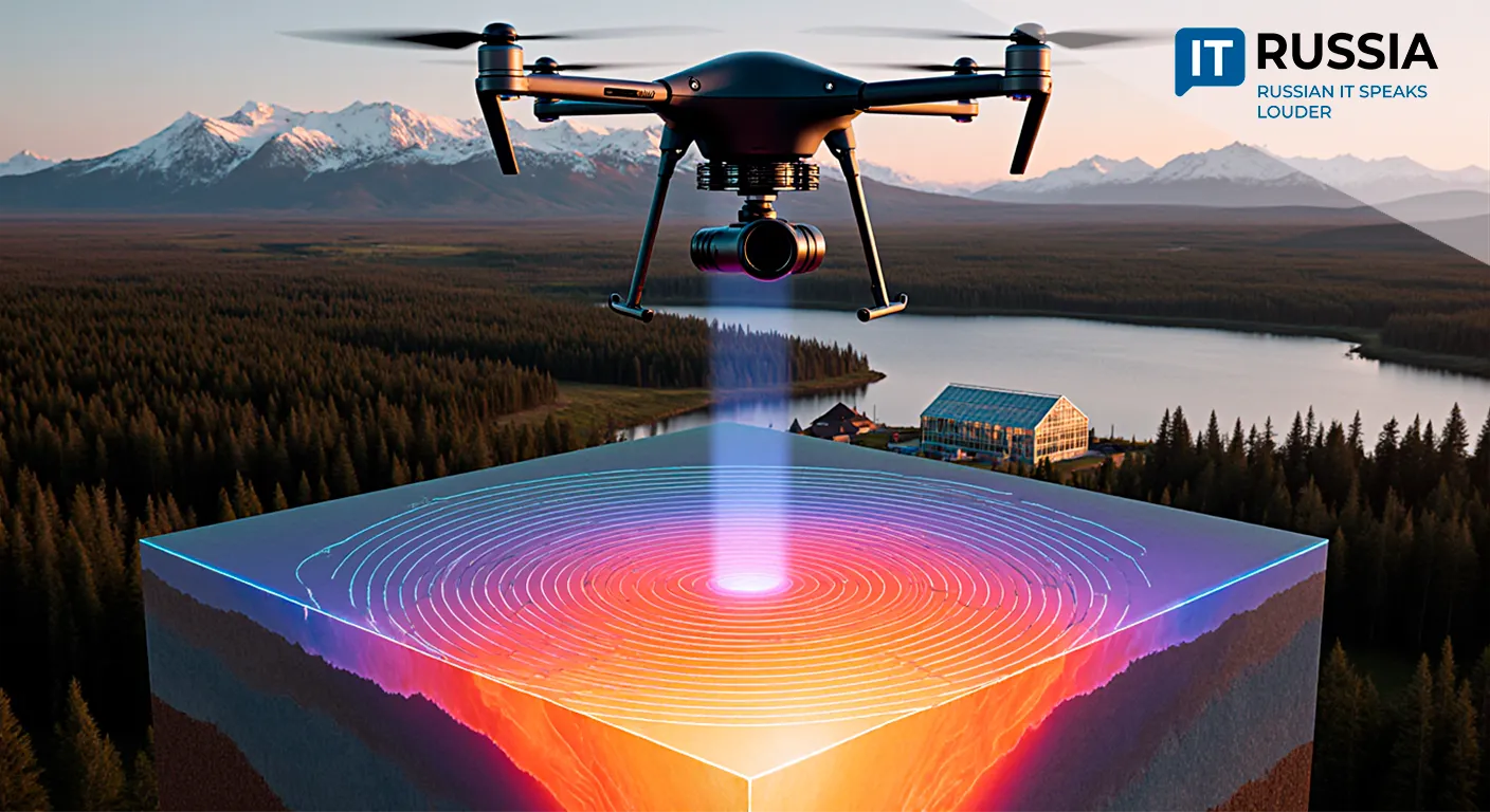
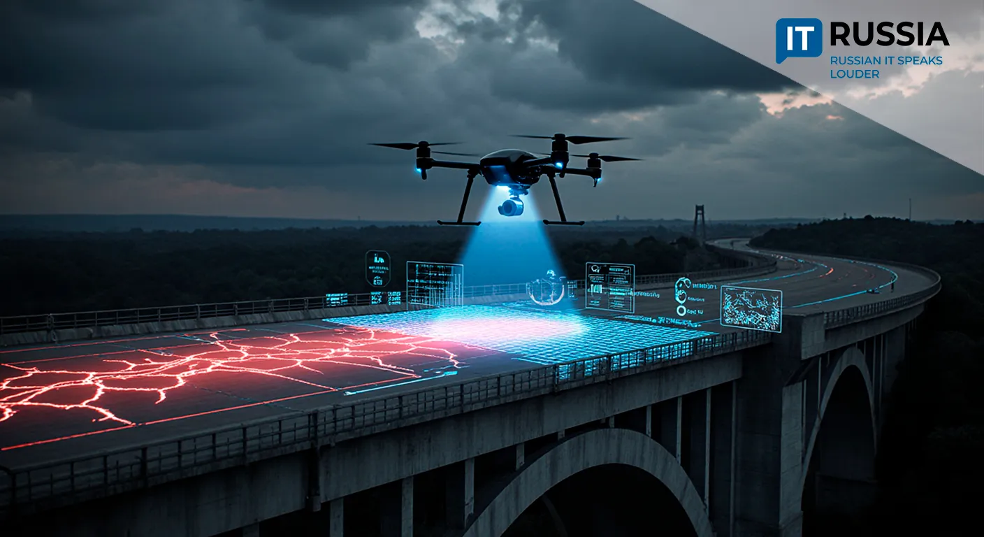
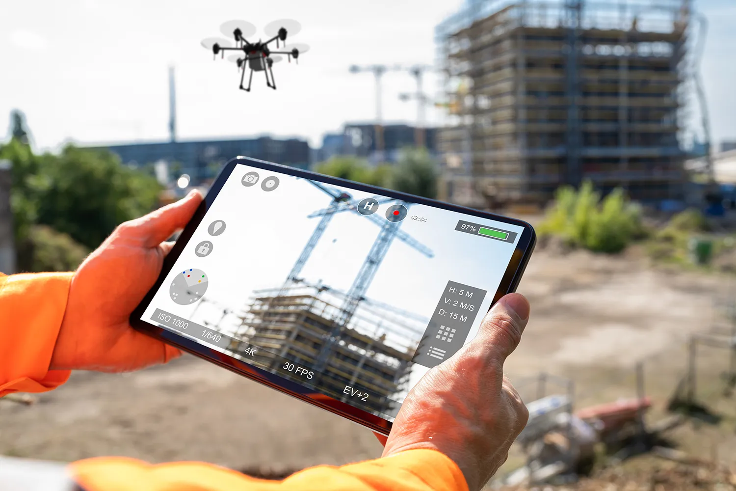
The new resolution opens even broader horizons for land resource monitoring and management. Equipped with remote sensing technology, drones will enable Rosreestr, Rosselkhoznadzor, and Rosprirodnadzor to expand the area under inspection, detect land-use violations faster and more accurately, and reduce the costs of on-site checks.
The decision aligns with the goals of the national 'Data Economy' project, which focuses on the digitalization of government services and the implementation of high-tech solutions in territorial management.
Expanding Oversight Capabilities
In the future, drone applications could expand into forest monitoring, water body inspections, urban planning oversight, and integration with AI for automated data analysis. Mobile services, such as the 'Inspector' app, will be further developed to provide quick access to land plot data.
Russian remote sensing technologies may also attract international markets, particularly in countries where land monitoring and environmental oversight are pressing concerns.
The legalization of UAS is a critical step in the digital transformation of public administration. These technologies have already proven their effectiveness, and now they are poised for mass deployment. Russia is betting on 'smart' land control, where drones become not just a tool but an integral part of the state’s digital ecosystem.