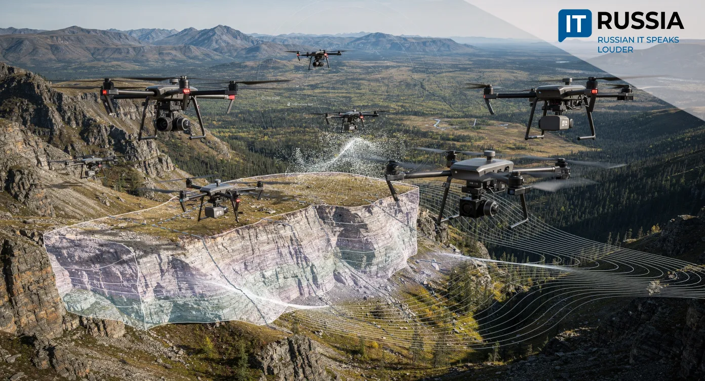
Drones Identify Seven Deposits of Scarce Minerals
Potential deposits of strategic and scarce minerals, including titanium, chromium, manganese, and uranium, have been identified in Russia’s Far East and Siberia.
Millions of Tonnes of Strategic Resources
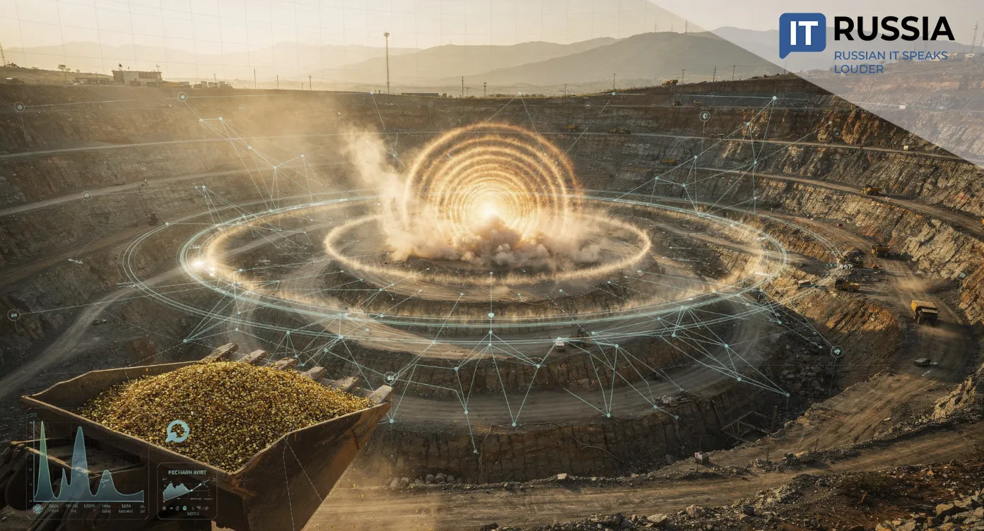
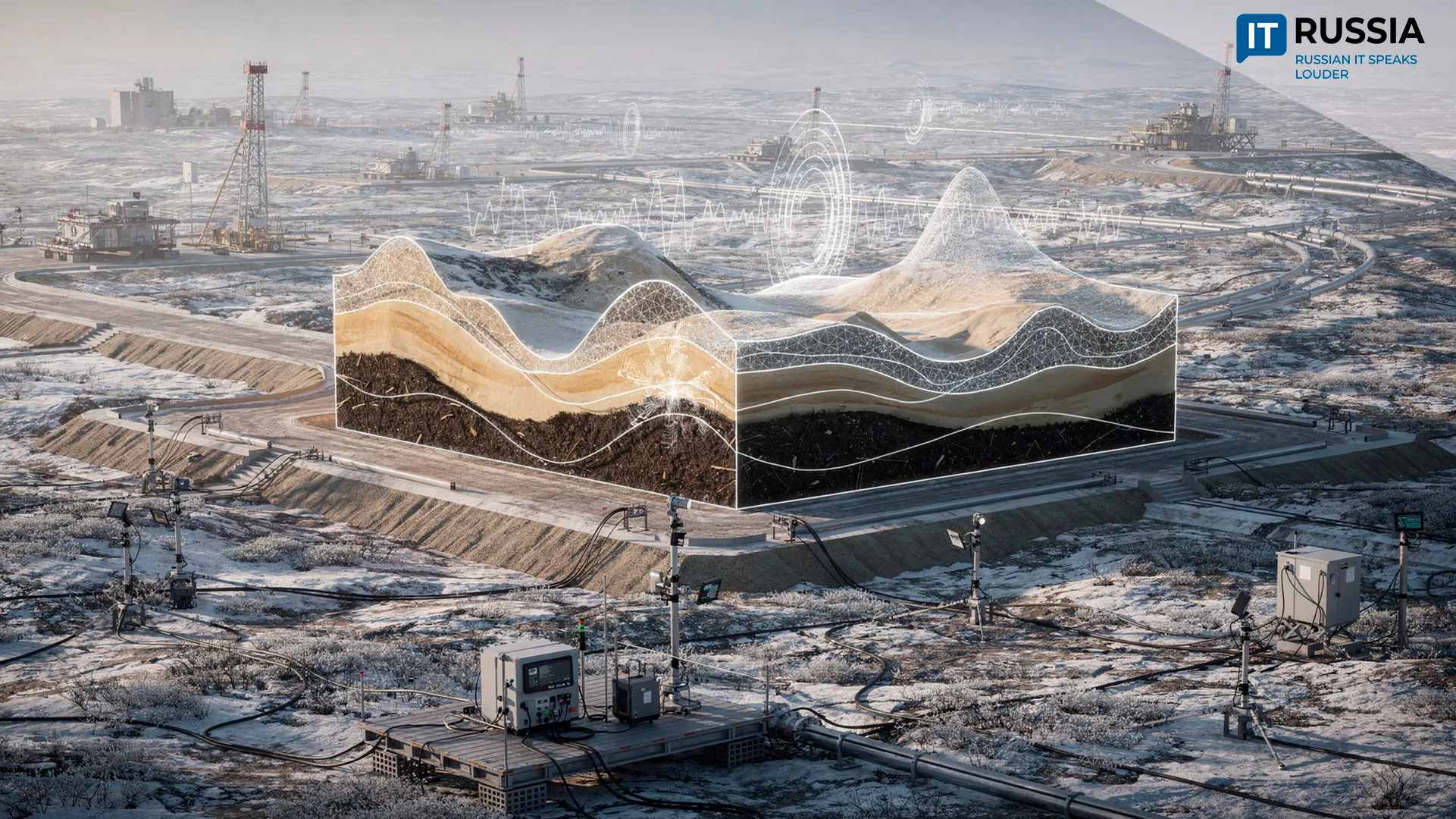
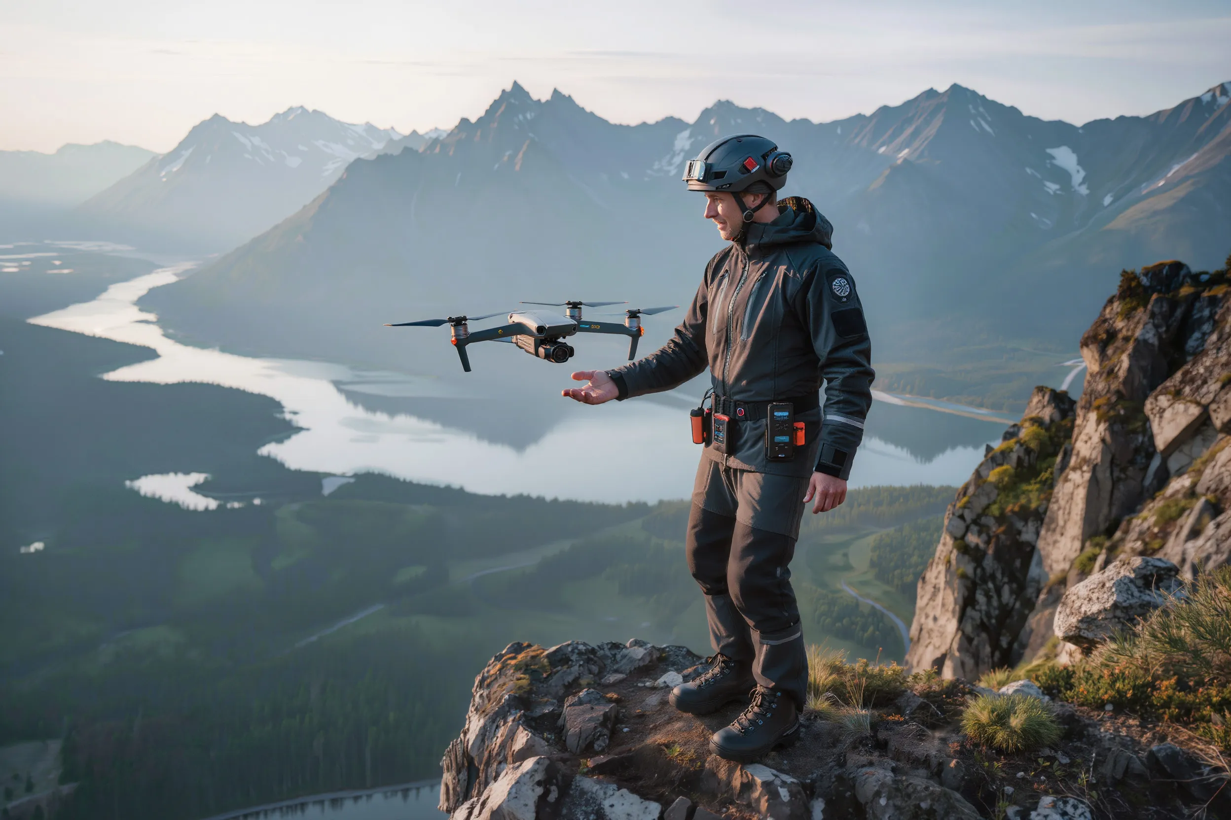
Unmanned aerial vehicles have helped Russian geologists identify seven potential deposits, a development that could significantly expand the country’s reserves of several scarce and strategic materials. Estimated resources include up to 2 million tonnes of manganese, 3.5 million tonnes of titanium, 7 million tonnes of chromium, and about 83,000 tonnes of uranium.
The surveys relied on drones equipped with geophysical sensors, including a quantum magnetometer and a gamma spectrometer that detects radioactive emissions. These technologies are already widely used in mineral exploration, but their integration into UAV platforms allows data to be collected more efficiently over large areas.
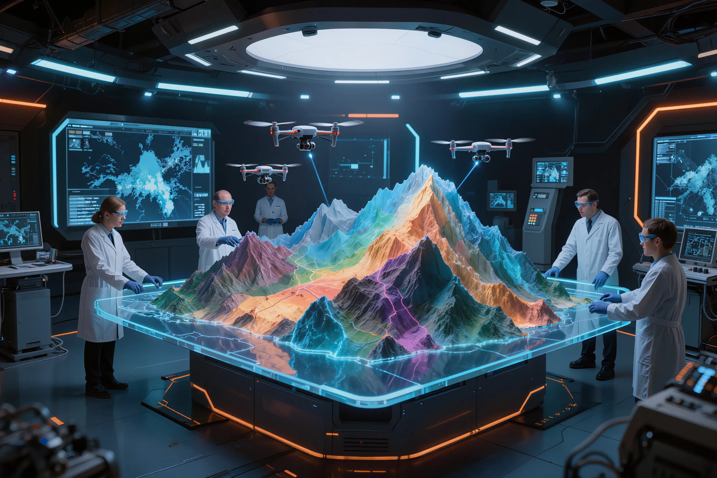
The results demonstrate how IT solutions and automated data collection can be effectively integrated into a traditionally conservative sector such as geology. Intelligent sensors mounted on drones accelerate exploration, reduce labor intensity, and improve the accuracy of identifying geological anomalies.
For Russia, this translates into a stronger resource base for strategic materials, support for import substitution through intensified domestic exploration, and the development of a civilian drone market equipped with applied IT systems for data analysis in subsoil use.
The Natural Resources Ministry’s Aerial Fleet
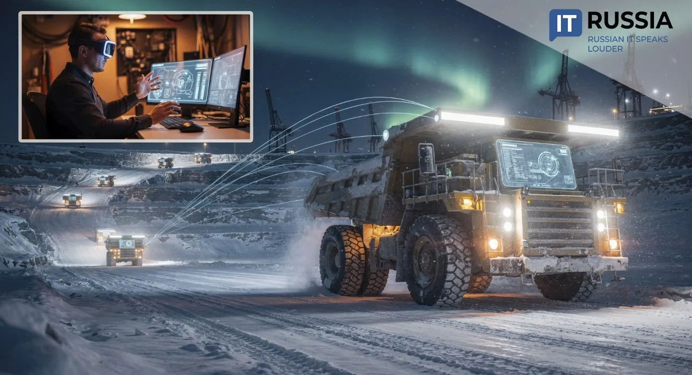
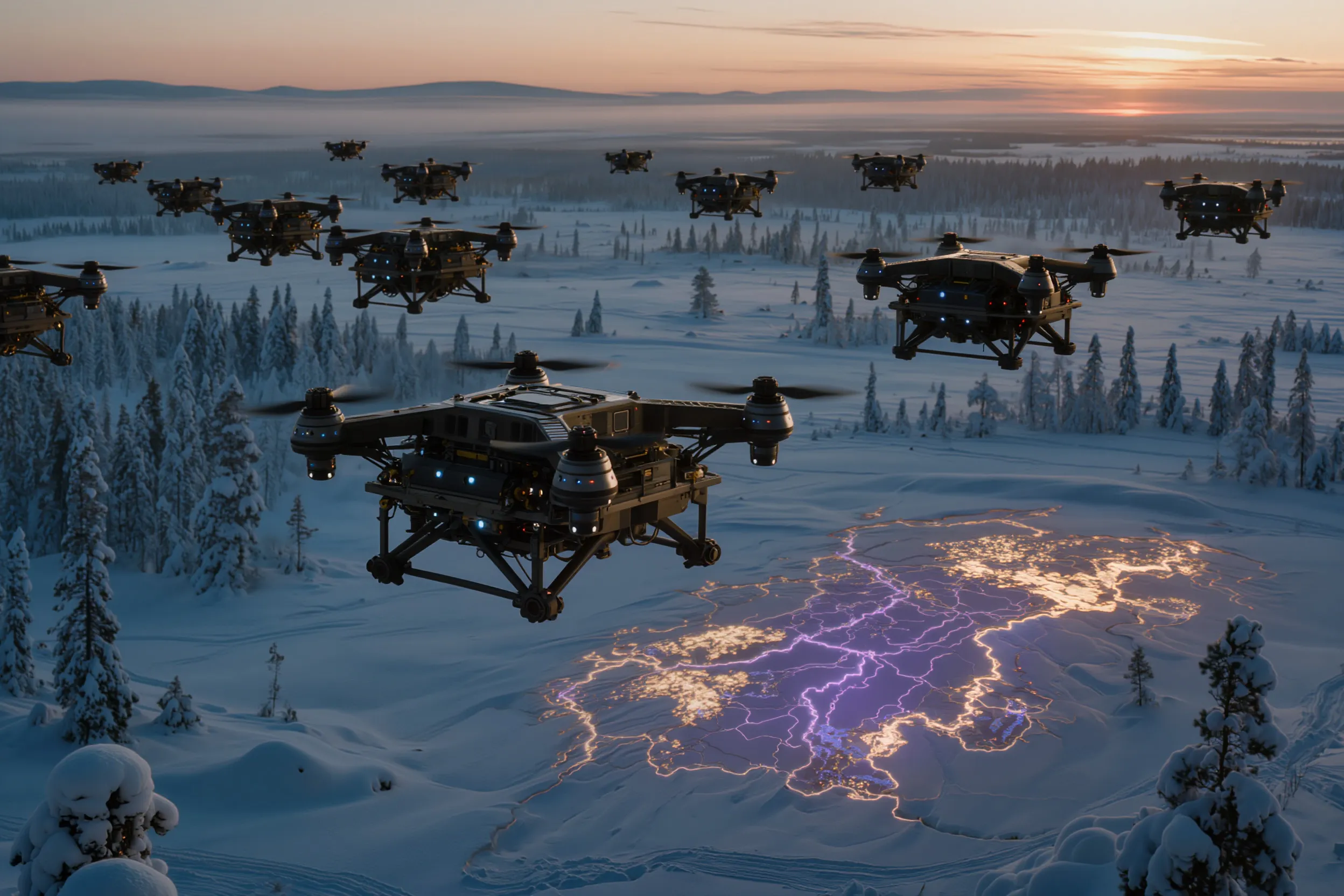
According to Russia’s Minister of Natural Resources and Ecology, Alexander Kozlov, the ministry currently operates a fleet of 1,626 drones. These UAVs are used to monitor hazardous geological processes, track the condition of waste disposal sites, and search for new mineral deposits.

Historical Context
New methods of geological exploration have been introduced in Russia for several years. As early as 2017, a group of geophysicists from Irkutsk presented advances in UAV-based aeromagnetic surveys, as well as electromagnetic sounding and induced polarization techniques. Professional forums actively discussed regional geology, geomonitoring, geoinformatics, and metrology.
Among the innovations was the use of multi-electrode borehole-to-surface and inter-borehole survey methods, which increase the information content of ground-based techniques. These approaches provided additional insights into subsurface structure and reduced drilling costs during the exploration stage of ore deposits.
In 2015, geophysicists from Irkutsk National Research Technical University successfully applied their own technologies to search for mineral deposits in the Altai Mountains, Altai Krai, and the Yakutia diamond-bearing province.
Researchers from Moscow State University’s geology faculty used inter-borehole electrical tomography at the Maslovskoye deposit in the Norilsk ore district. The method made it possible to trace and delineate an ore horizon at depths exceeding one kilometer.
Today, these technologies have moved even further. Russia’s geological science can be seen as entering a new phase of development, marked by a significant technological shift.
Geology Enters a New Chapter
In 2024, Russia’s Ministry of Natural Resources presented the program “Geology: Reviving a Legend,” which outlines the future development of geologically promising regions. The goal is to discover more than 1,000 new deposits by 2030. The initiative builds on the legacy of Soviet-era geological achievements and is described as both ambitious and essential for the country.
The Institute of Earth Sciences at Southern Federal University played an active role in shaping the program. Its focus is primarily on the potential of Siberia and the Far East, regions that remain only partially explored despite their vast resource base.
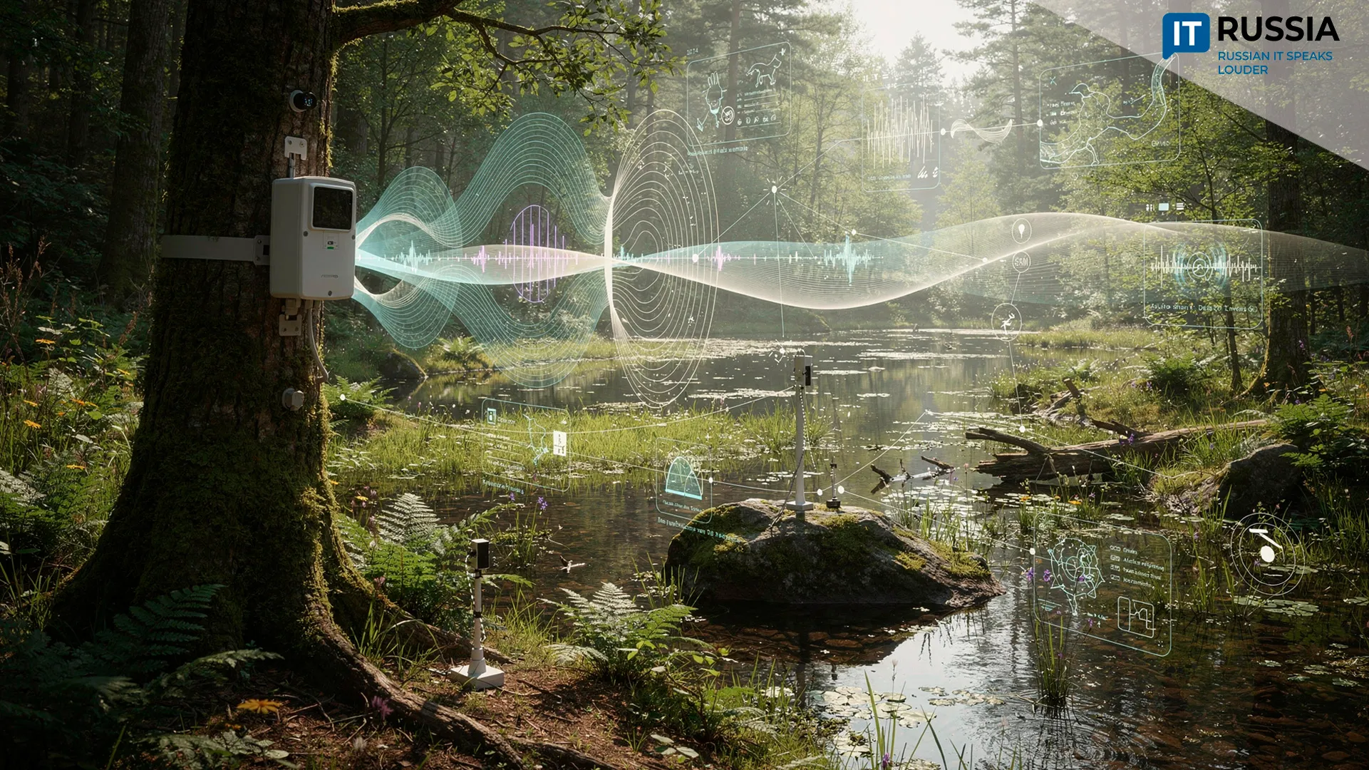
To achieve these goals, innovative research methods are being refined and deployed, including remote sensing of the Earth.
The use of drones for aeromagnetic surveys represents an innovative approach that enables rapid and efficient assessment of large territories. The method is particularly effective for identifying anomalies that indicate the presence of mineralization at significant depths. At the early stages of exploration, UAVs offer an optimal and highly informative solution.
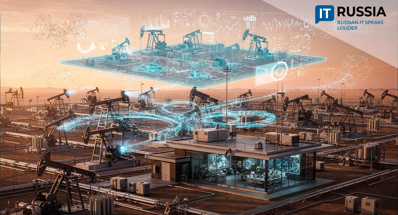
The next step involves artificial intelligence and big data technologies. Russian specialists are drawing on the experience of international companies such as Shell and ExxonMobil, which have introduced neural networks into various types of geological research. These algorithms analyze seismic waves reflected from subsurface layers to detect hydrocarbons with far greater accuracy than traditional methods. AI is also applied to satellite imagery and exploration data to identify signs of mineralization hidden beneath the surface.