Kamchatka’s Subsurface in 3D
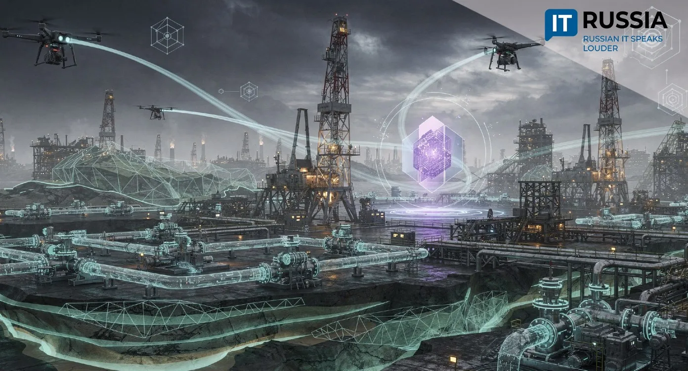
In Russia’s Kamchatka region, 3D seismic surveying is being applied across an area of 500 square kilometers during oil and gas exploration. Volumetric imaging of subsurface structures improves the accuracy of geological models, reduces risk, and supports more efficient development planning.
A New Mode of Resource Development
3D seismic surveying is a core component of modern hydrocarbon exploration, offering a far higher level of detail than traditional 2D methods. High-resolution subsurface mapping visualizes stratigraphic layers, faults, and potential oil and gas accumulations. Crucially, it provides a continuous picture across the entire license area, significantly improving the reliability of geological forecasts.
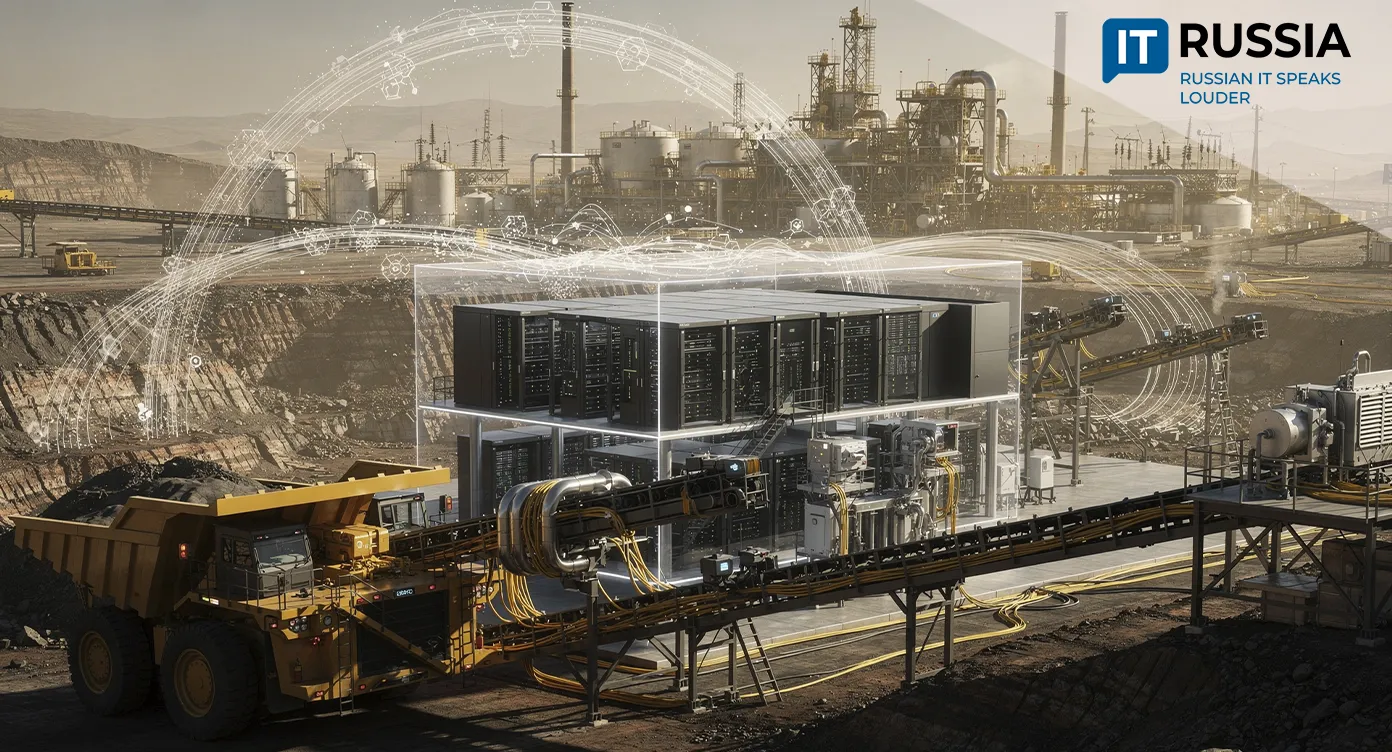
At a broader level, 3D seismic methods directly influence investment efficiency in the energy sector while reducing environmental and financial risks associated with developing complex prospects. The technology strengthens the industry’s technological base, lowers exploration costs, and increases project attractiveness for investors. Today, 3D seismic surveying is part of the global engineering standard. By actively applying and advancing these technologies, Russia remains aligned with worldwide upstream trends.
From Theory to a Field-Scale Case
A clear and highly effective example of this approach comes from Gazprom dobycha Noyabrsk. The company is conducting field-scale 3D seismic surveys at the Annensky-2 subsurface block located in the Kamchatka region. The survey covers a total area of 500 square kilometers.
3D seismic data not only identifies prospective zones but also enables a detailed understanding of their geometry and internal structure. Geologists can directly visualize productive reservoirs, assess their potential, and identify faults. Faults can be beneficial when they contribute to hydrocarbon accumulation, but they can also pose serious risks if they compromise reservoir integrity. In effect, drilling risks are reduced multiple times, and the number of non-productive wells approaches zero. From an economic standpoint, more rational subsurface use translates directly into higher profitability.
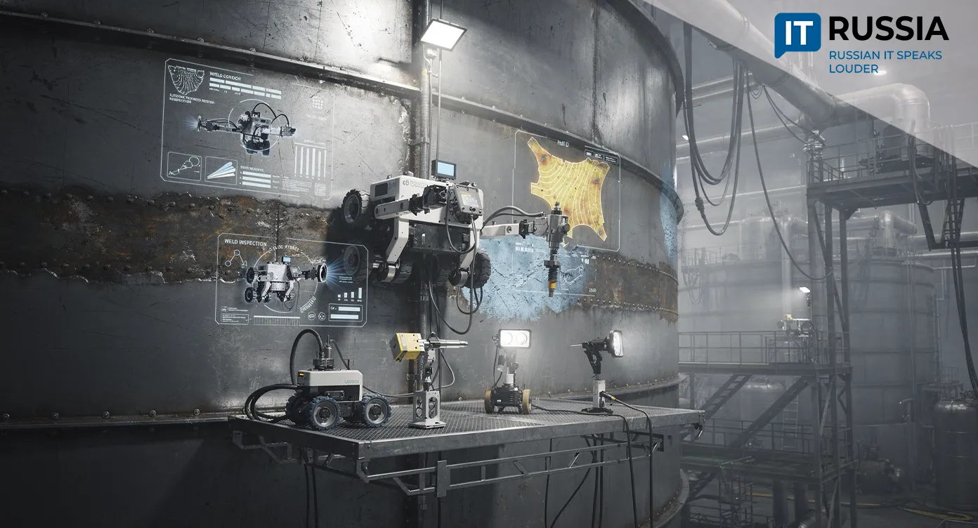
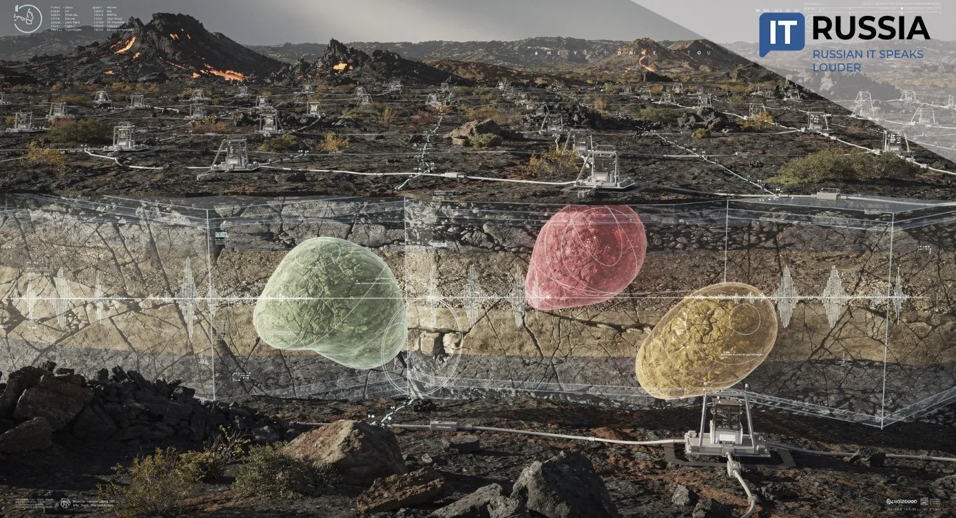
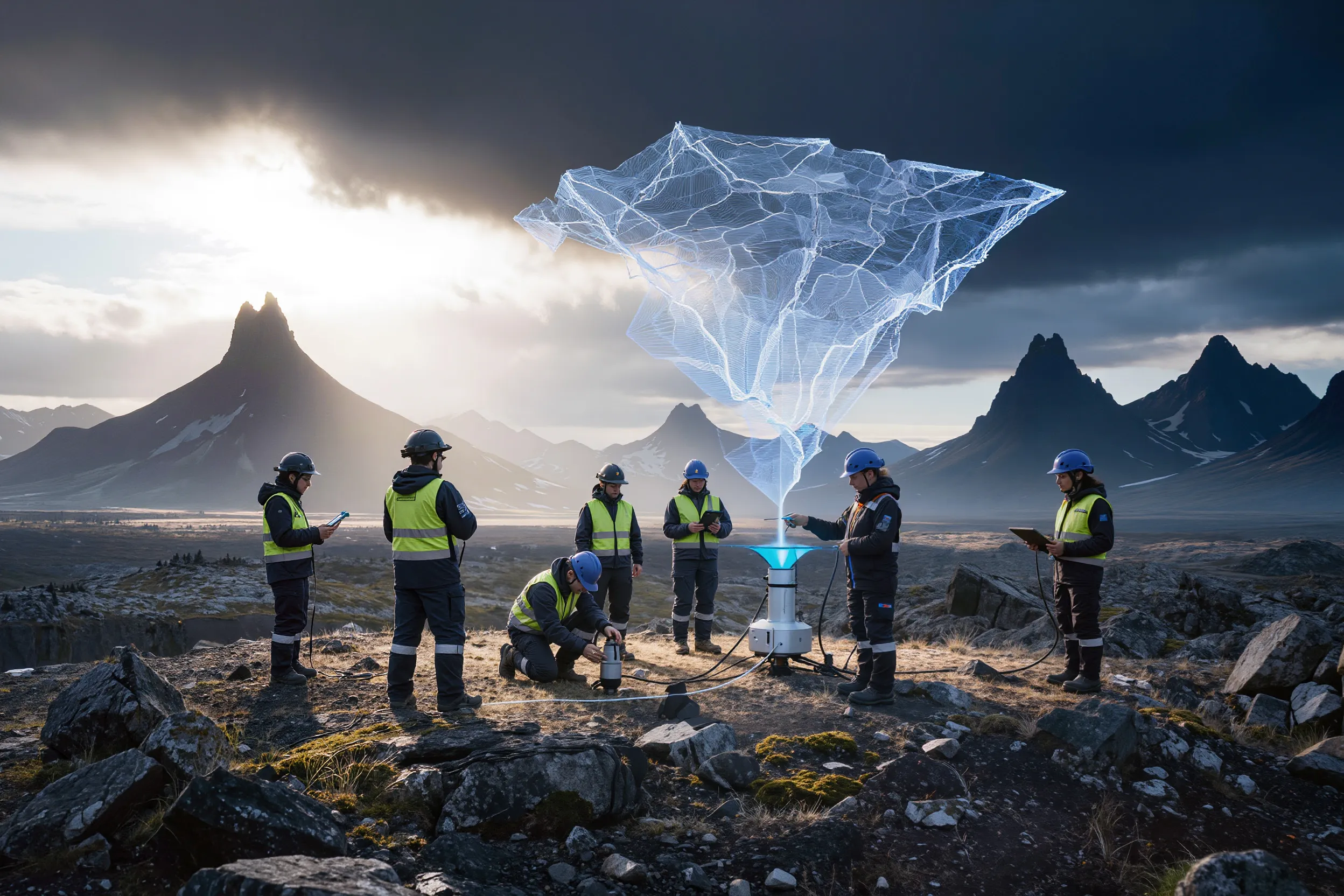
In practical terms, seismic operations begin with the design of a survey grid. Seismic sources and receivers are deployed along these lines, while highly sensitive sensors capture even minimal ground vibrations.

The Annensky Experience
At Annensky-2, the high density of sensor placement, with spacing of 300 meters, ensured a highly detailed subsurface image. Source and receiver points were positioned at 50-meter intervals. The quality of results was driven not only by dense coverage but also by repeated surveying of each area from multiple directions.
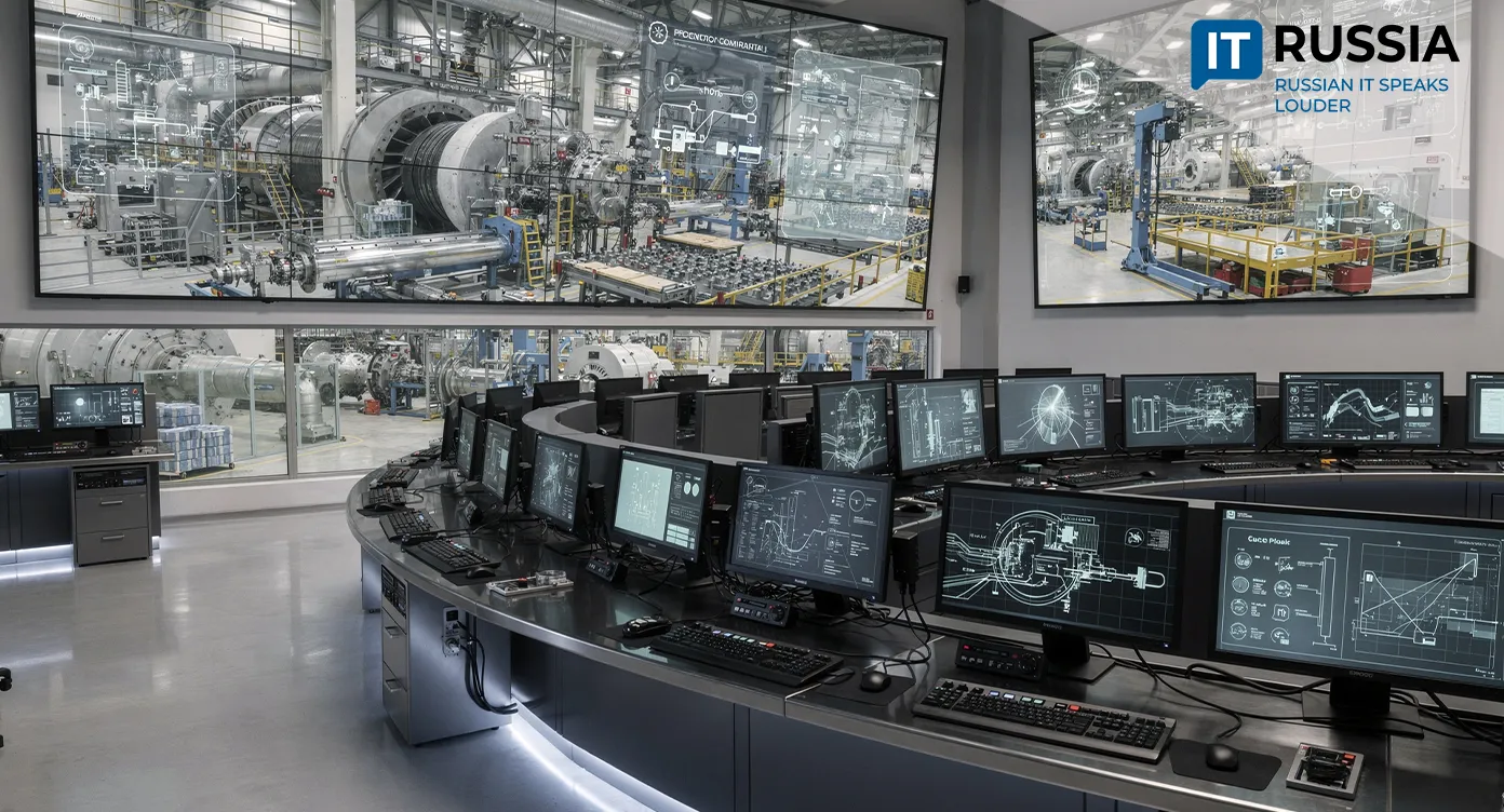
The collected seismic dataset then undergoes noise removal and correction to account for terrain variability and the properties of near-surface layers. The next step involves merging the data into a continuous three-dimensional volume. This stage is handled by IT specialists. The resulting detailed model is then transferred to interpretation geologists. Drawing on extensive experience in analyzing productive horizons, they forecast reservoir behavior during development and identify zones with the highest hydrocarbon inflow. Horizontal and deviated wells are then designed, significantly increasing recoverable volumes.

Development at Home and Abroad
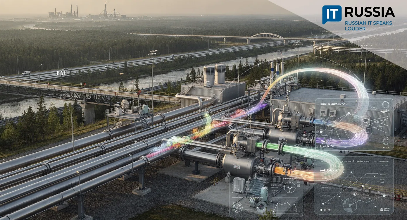
3D seismic surveying is inherently export-oriented. Both data and methodologies can be of interest to international companies within joint projects. With proprietary processing and interpretation software, Russia can also expand exports of geophysical software and 3D seismic analysis services.
Within Russia, 3D seismic surveying is becoming the standard for exploring prospective and hard-to-study areas, particularly in the Arctic and eastern regions. At the same time, the methodology continues to evolve. Last year, researchers at PNIPU proposed a technique that addresses the challenge of modeling complex reservoirs characterized by extensive voids and fractures. The method improves modeling accuracy by 10% and enables a more realistic assessment of actual filtration flows through which fluids move toward the wellbore.
As data processing techniques and IT tools continue to advance, including artificial intelligence and machine learning, analytical efficiency is expected to grow further. Integrating 3D seismic data with digital platforms makes it possible to create digital twins of oil and gas fields, improving drilling and production planning. The methodology can also be adapted for oil, gas, and geothermal exploration.

Wider use of 3D seismic surveying across Russia is evident from reports by major oil and gas companies. Gazprom Neft and Rosneft are using 3D seismic imaging to optimize drilling programs and enhance reservoir recovery.