All-Weather AI Navigation Gives Robots a Better Sense of Place
Built around artificial intelligence, the new technology allows robots to memorize their surroundings and navigate reliably under virtually any lighting conditions.
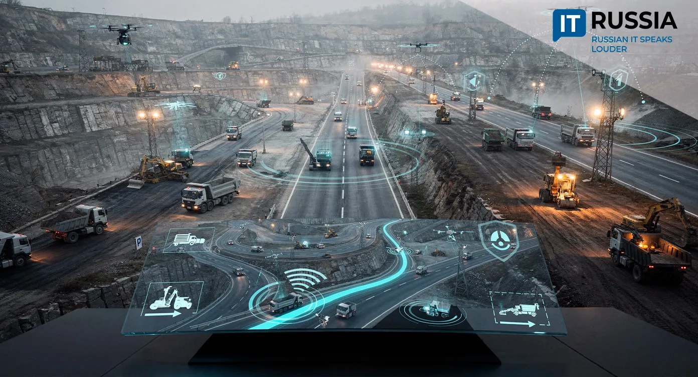
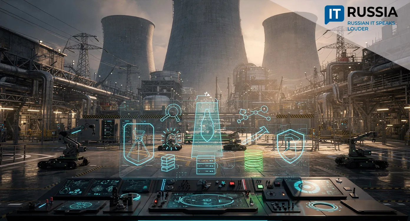
Machine vision is one of the core technologies behind autonomous machines. It enables robots and vehicles to understand where they are and move through the world without human guidance. The more accurate the vision system, the more effectively autonomous platforms can carry out their tasks.
Robot Won't Lose Its Way
Just days ago, researchers at the MIPT Institute for Artificial Intelligence unveiled a fundamentally new localization system called MSSPlace. It enables robots to navigate reliably even in poor weather and low-light conditions.
According to the developers, conventional navigation systems typically rely either on cameras, which cannot accurately estimate distances, or on lidar, which produces 3D maps but lacks detailed semantic understanding of objects. As a result, autonomous machines can lose track of their position even in familiar environments when visibility suddenly deteriorates.
MSSPlace is built on a neural network architecture that processes incoming data in a fundamentally different way. Independent modules analyze data from multiple cameras, lidars, semantic masks, and textual annotations describing observed scenes. The system then builds a detailed representation of each location, significantly improving positioning accuracy. Importantly, as the robot moves through its environment, the system continuously records information about every place it visits.

How Does It Choose Landmarks?
"When an autonomous vehicle needs to determine its location, the system computes a descriptor of the current place and searches its database for the closest match. Semantic masks play a key role. These simplified images label every object as a 'building,' 'tree,' or 'road.' Because they are largely unaffected by changes in lighting, time of day, or season, they allow the robot's memory to remain stable even under the most challenging weather conditions," explained Alexander Melekhin, an MIPT graduate and one of the system's developers.
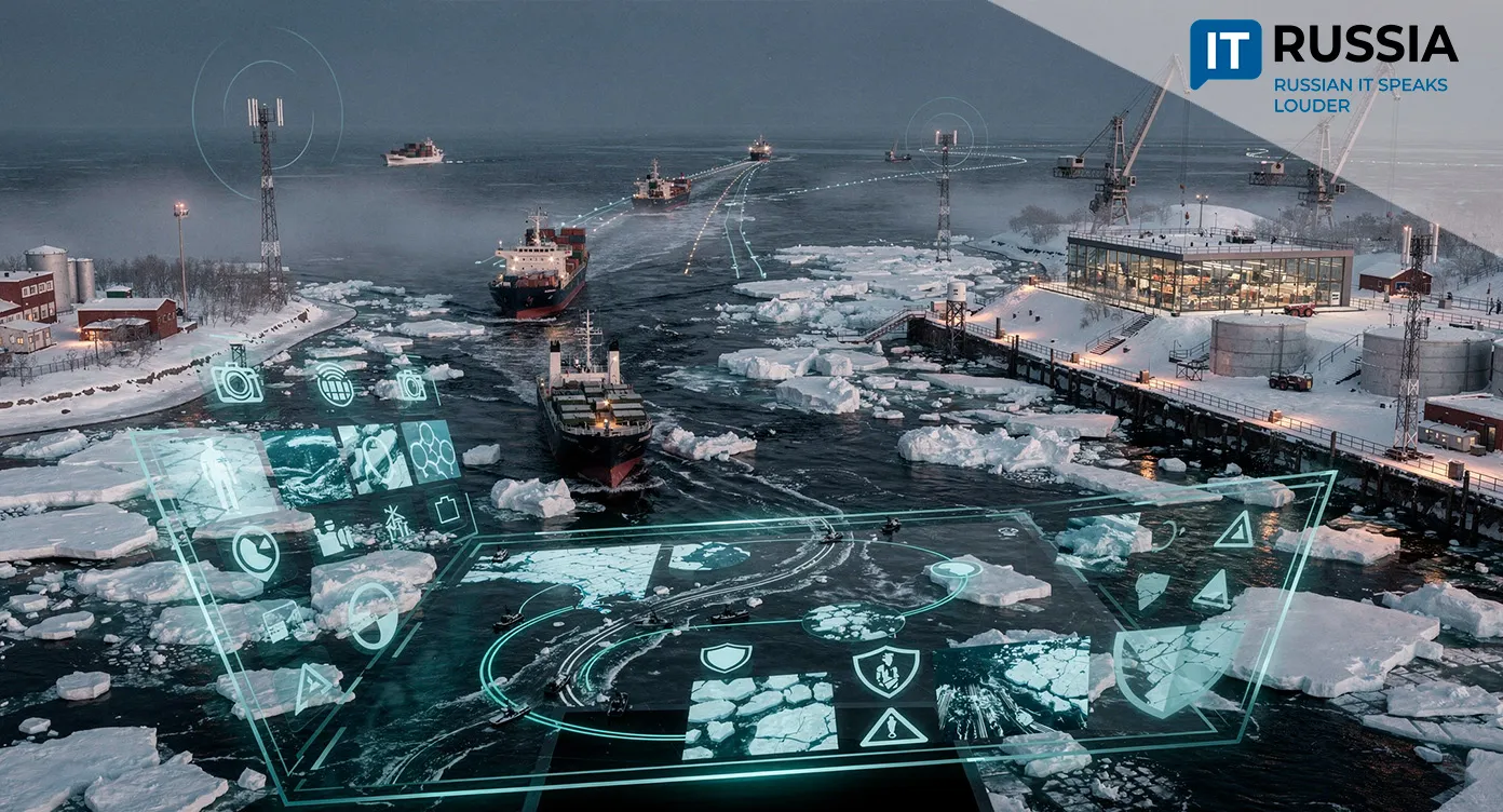
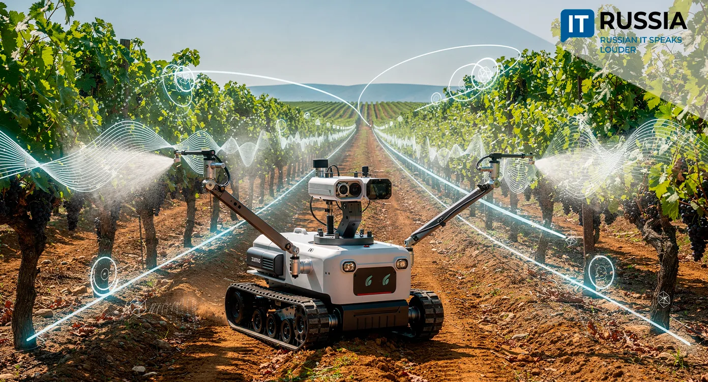
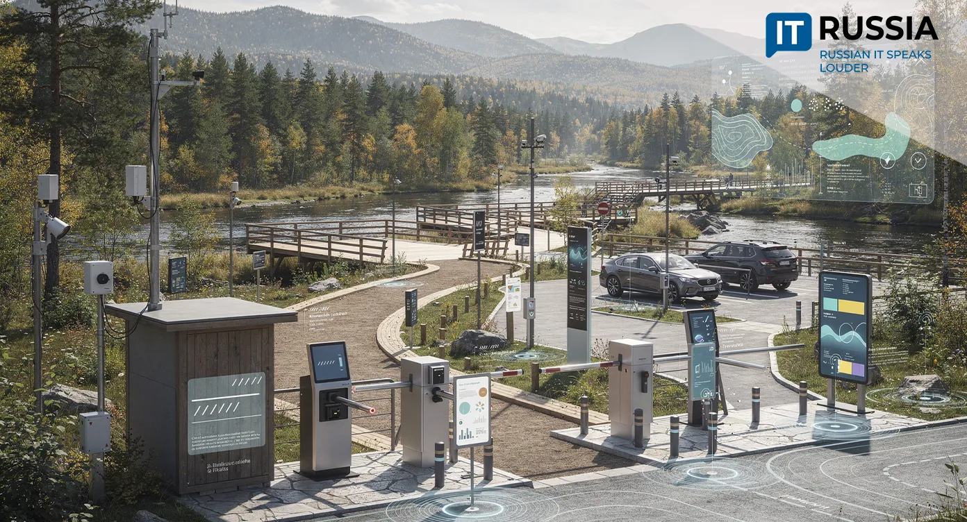
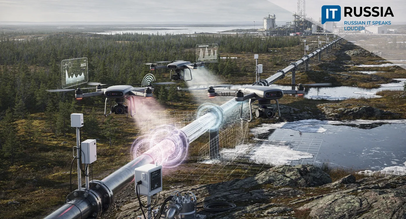
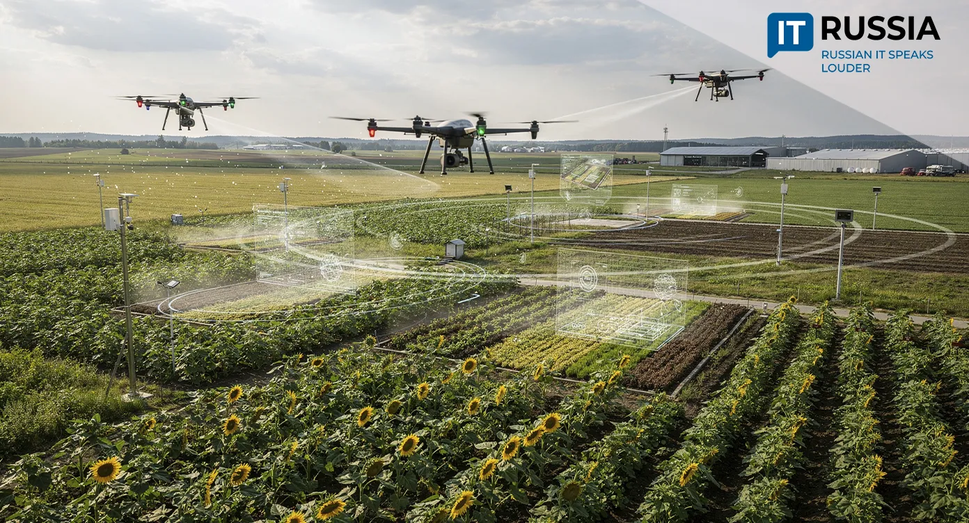
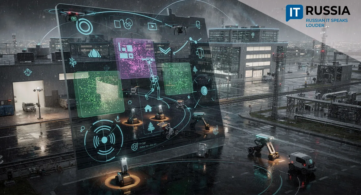
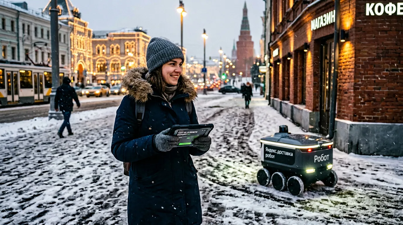
The MIPT technology has broad application potential. It could be used in next-generation autonomous vehicles, robotic cleaning machines, drones, and other mobile systems that operate without human control. The researchers also plan substantial improvements. Among their priorities are solving localization in vast open areas with few distinctive landmarks and maintaining reliable navigation under extreme lighting changes.
Application Potential Is Nearly Unlimited
The new technology will play an important role in Russia's autonomous systems industry. The country's market for autonomous platforms is expanding rapidly, increasing demand for domestically developed navigation technologies. If MSSPlace successfully moves from research to commercial deployment, it could support urban logistics, transportation, industrial inspection, unmanned aerial systems, municipal services, and broader urban robotics. Its ability to operate where satellite navigation signals are unavailable, degraded, or intentionally jammed makes the technology particularly valuable.
Notably, MIPT researchers have been advancing autonomous positioning technologies for several years. In spring 2025, they introduced an algorithm that enabled robots to navigate using principles inspired by human memory. Instead of memorizing every detail, the system constructs flexible topological maps by identifying key landmarks and the relationships between them, making navigation faster, more accurate, and more energy efficient. In many ways, MSSPlace represents the logical next step in that research.
Multiple Research Institutes Are Advancing the Field
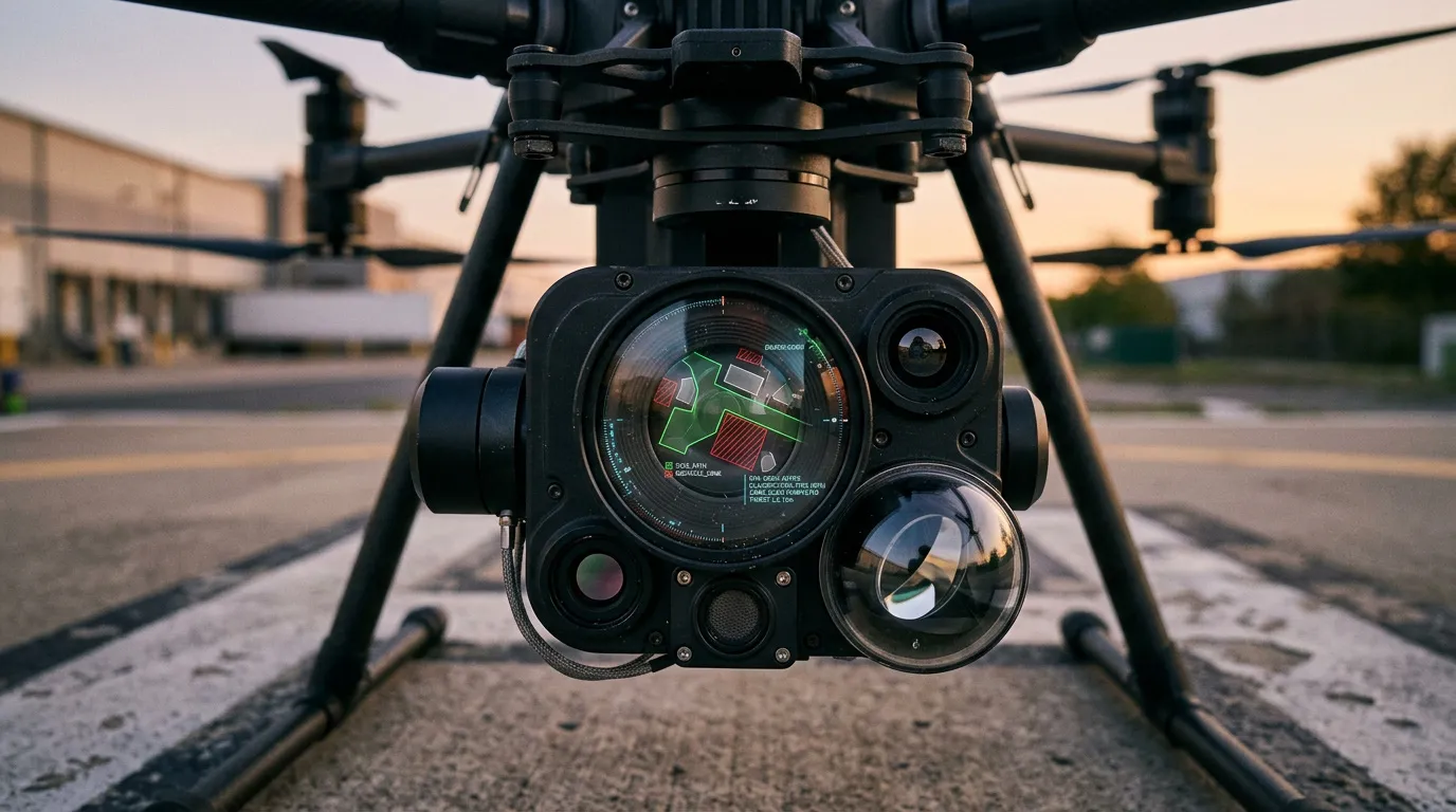
MIPT is not alone in developing advanced navigation technologies. In February 2026, researchers at the Moscow Aviation Institute announced work on an autonomous navigation system for unmanned aerial vehicles capable of operating even after a complete loss of GPS signals. The technology is intended for environments where satellite navigation is unavailable or unreliable, including dense urban areas, indoor spaces, remote terrain, and search-and-rescue operations.
Although these technologies are still at the research stage, there is every reason to expect that they will progress toward full-scale deployment in the near future. As they mature, they are likely to significantly expand the capabilities of Russian companies developing next-generation autonomous systems.