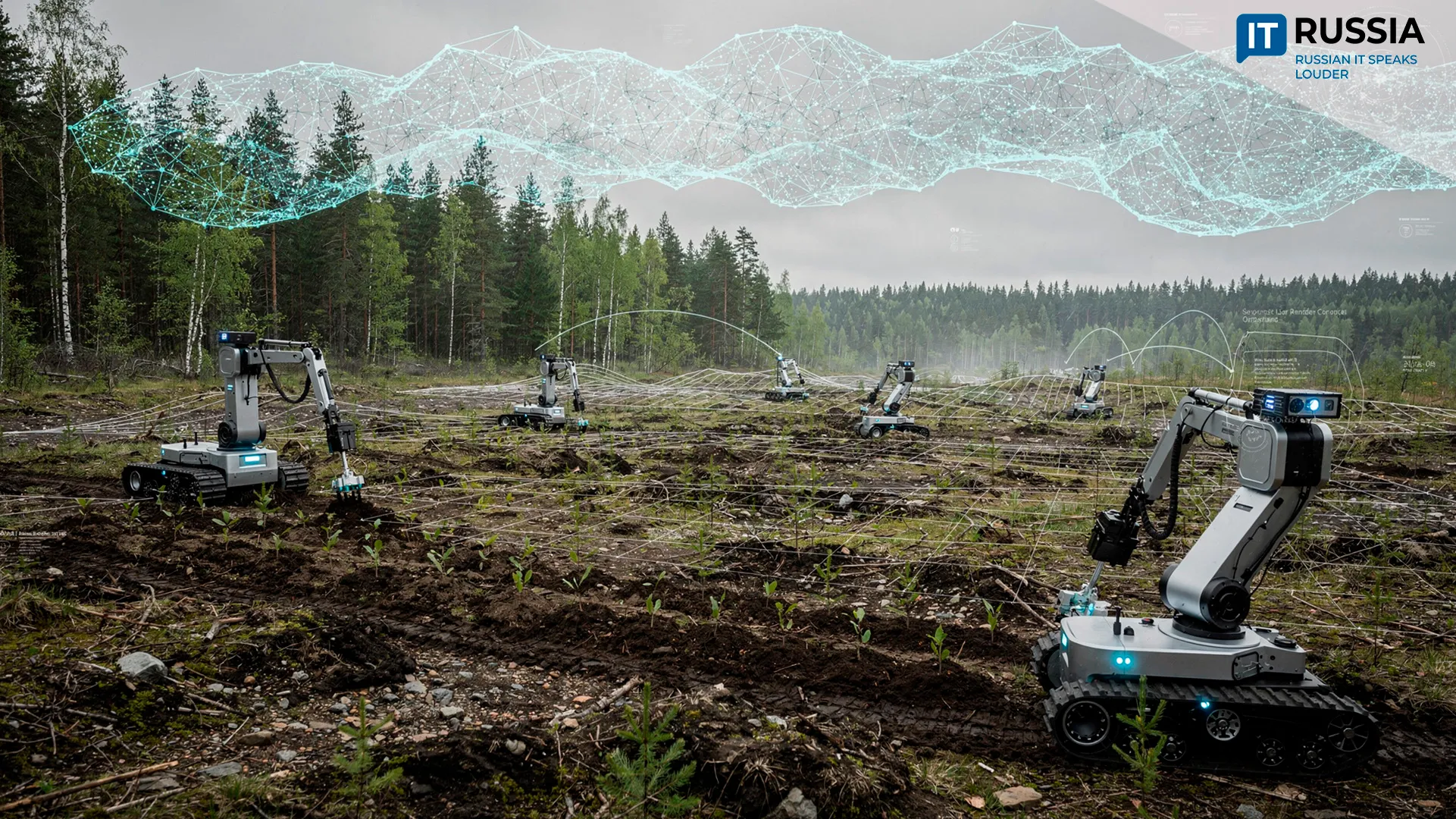
AI to Speed Up Reforestation in Tyumen Region
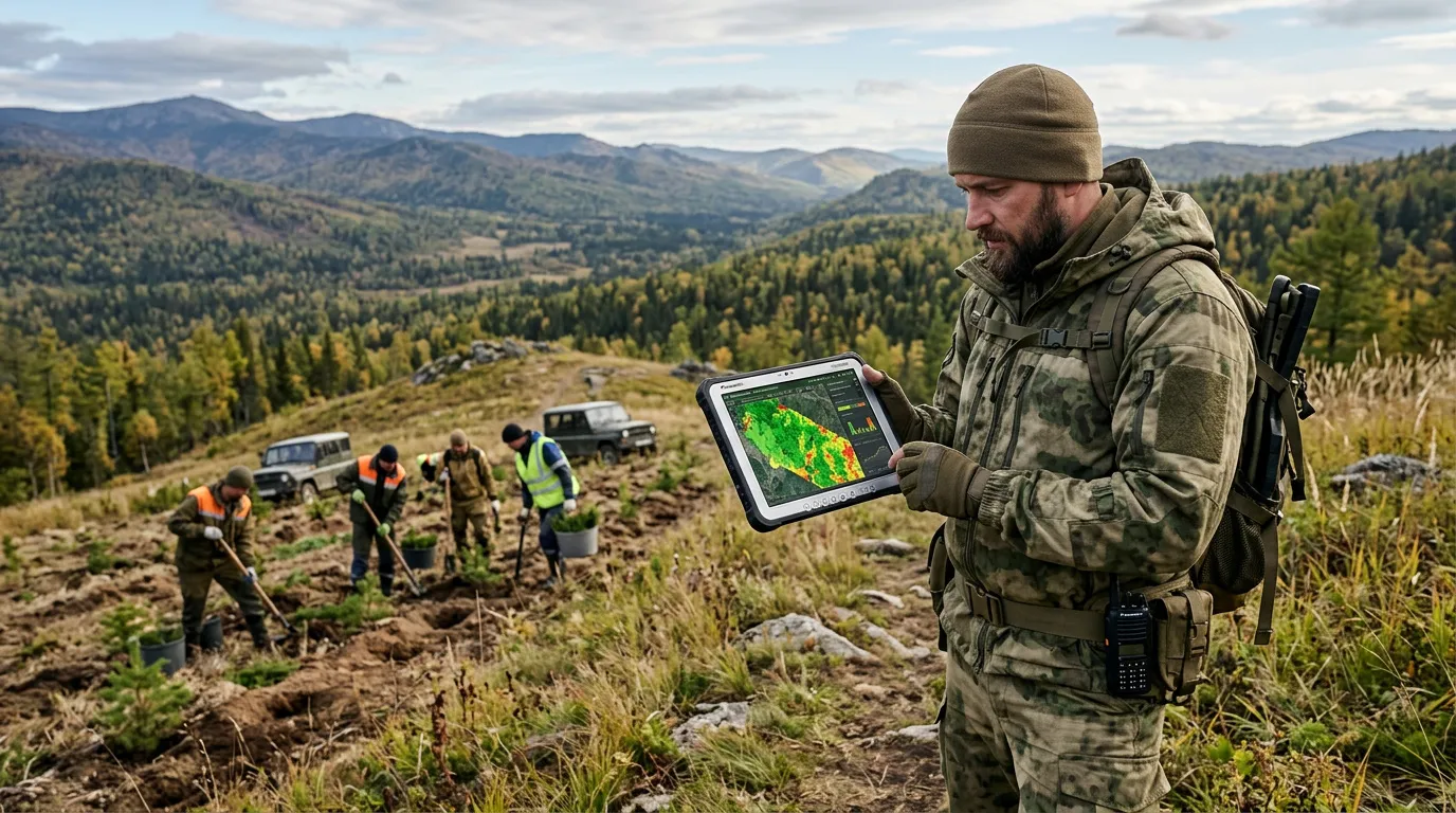
The Tyumen Region has begun testing an AI module that goes beyond monitoring logging activity from space – it prepares reforestation plans and generates documentation for the federal forestry information system, FGIS LK.
Last year, the region achieved a reforestation-to-deforestation ratio of over 150%. Meeting and exceeding targets is expected to become easier as AI takes on the preparation of reforestation plans for FGIS LK. Previously, the approval of these plans could take significant time. Now, algorithms deliver both speed and quality.
A New Direction for the Sector
The new system, built on solutions from Avers Inform, also significantly accelerates the preparation of documents for land allocation and permitting, including complex cases related to geological exploration. As a result, forests can be restored more quickly and with higher quality, while land distribution becomes more transparent.
The Federal State Information System for the Forestry Complex has been in operation since January 1, 2025. Earlier pilot initiatives focused on forest resource management, but with FGIS LK, the Federal Forestry Agency has begun a broader transition of the sector into digital workflows.
Technologies for Monitoring and Conservation
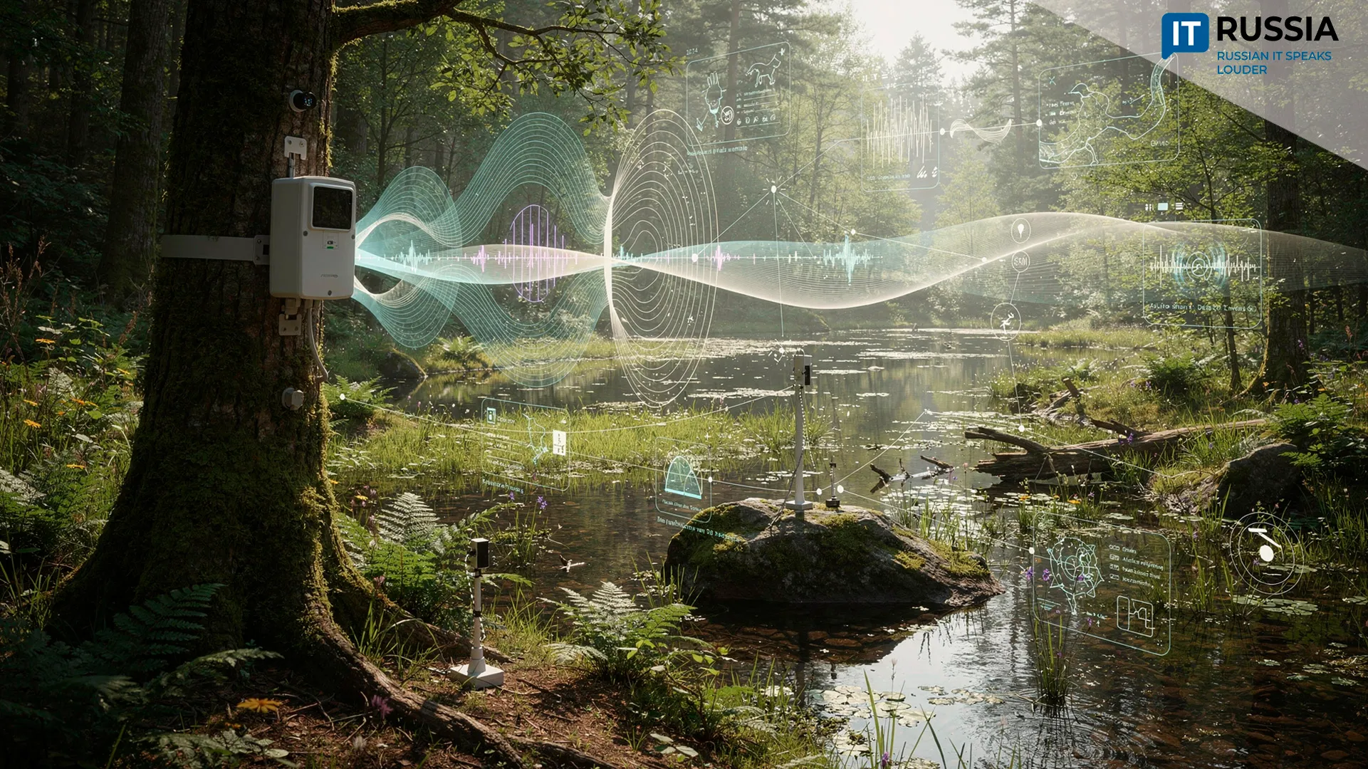
Russia already operates a remote forest fire monitoring system, ISDM-Rosleskhoz, which uses satellite imagery, including data from domestic Kanopus-V satellites, along with ground and aerial monitoring sources to detect fire outbreaks. Largely due to these remote monitoring capabilities, illegal logging declined by nearly one-third by the end of 2024.
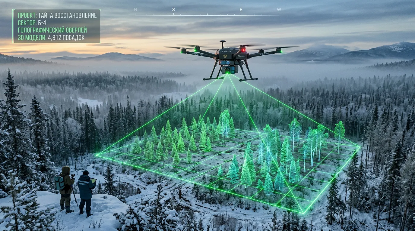
Roslesinforg, the country’s leading forest inventory organization, together with the Perm Pulp and Paper Company, has developed an advanced forest inventory technology called LesProfi for forest inventory, that is, the measurement and assessment of forest resources. The system analyzes data collected by drones equipped with LiDAR sensors. After processing, the data is transformed into a detailed 3D model with an accuracy of up to 95%.
Researchers at Penza State University have developed an AI-based software system that predicts forest fires. It uses complex machine learning algorithms to analyze a wide range of environmental parameters. The system evaluates weather conditions, vegetation status, historical data, and other factors, including expert assessments, to identify high-risk areas before fires occur.

Digital Forest
In the Nizhny Novgorod Region, the pilot project Digital Forest has demonstrated strong results. AI models trained on large datasets of satellite imagery can detect even minor anomalies in forest cover – from storm damage to potential violations of forestry regulations. There are additional platforms which integrate data from drones and weather sensors. In the Kirov Region, AI also helps determine the coordinates of fires using video feeds from elevated observation points.
“The main goal of digitalization is to free forestry workers from routine tasks so they can focus on forest management, protection, and regeneration, while machines handle paperwork – enabling faster and higher-quality processes such as leasing forest plots and submitting forest declarations. We are confident that digital solutions will move forest management to a new level,” said Ivan Sovetnikov, head of the Federal Forestry Agency.
The Tyumen solution is expected to be scaled across other regions. In the near future, it will also include automated document verification.