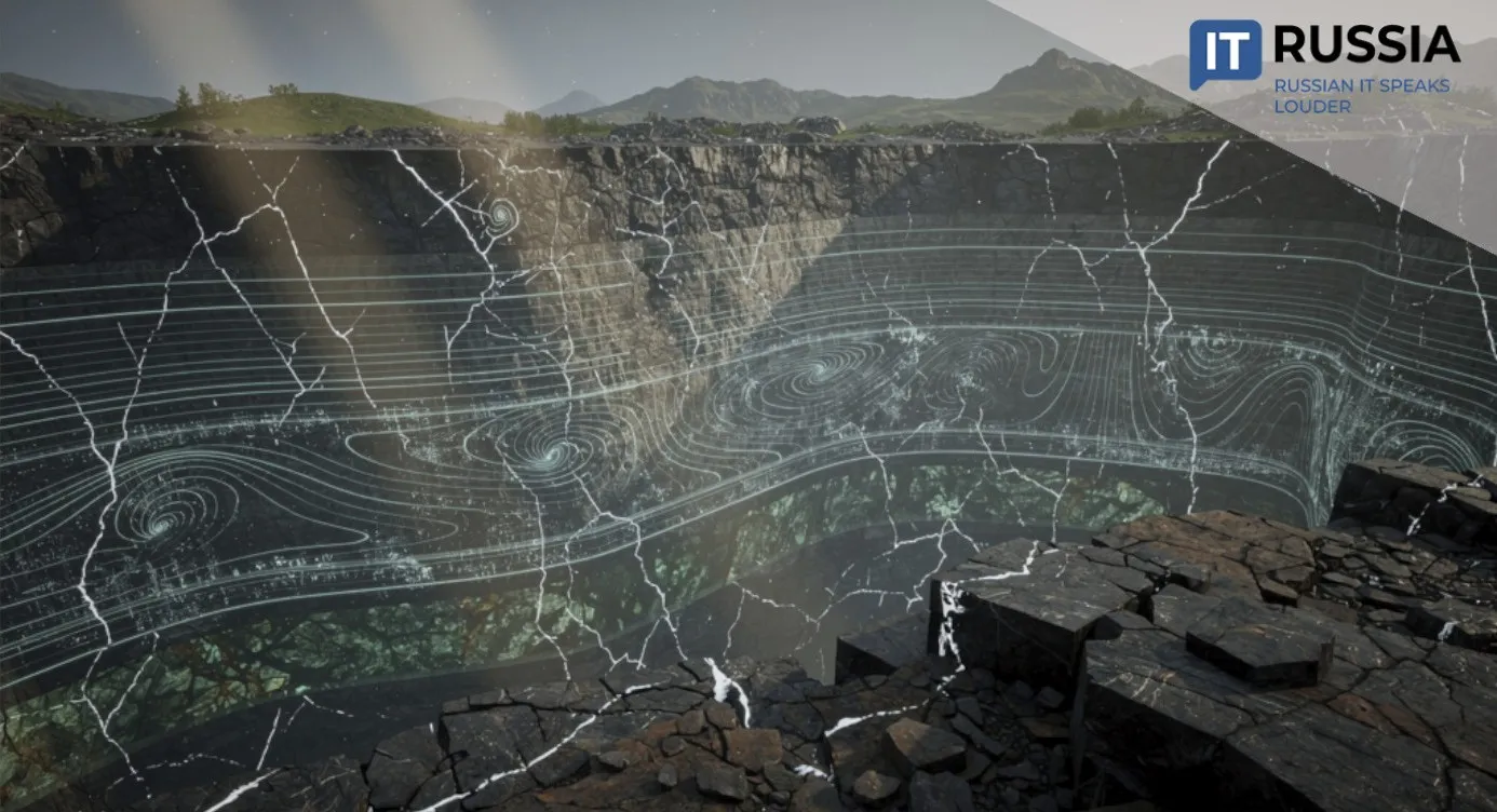


A Russian Student Offers a Fresh Take on Web GIS
Arseny Kurochkin, a graduate of the Institute of Systems and Software Engineering and Information Technologies at the National Research University of Electronic Technology (MIET), has developed a web-based module for working with three-dimensional digital terrain models.

His project combines the clarity of three-dimensional visualization with engineering-grade precision and has already attracted the attention of researchers at the Voronezh Institute of the Ministry of Internal Affairs of the Russian Federation. The system was recognized by experts at the All-Russian Scientific and Practical Conference on Current Issues in the Operation of Security Monitoring Systems and Secure Telecommunication Systems held in Voronezh.
Precision Comes First
Conventional two-dimensional mapping services cannot fully account for terrain features, while professional geographic information systems (GIS) are often too complex and feature-heavy for rapid operational work. The newly developed module addresses that gap by allowing operators to interact with a 3D terrain model, specify coordinates, define an observer's field of view, and quickly obtain accurate information about object locations. These capabilities support surveillance system planning, sensor placement and operational analysis by maximizing the observable area while accounting for obstacles such as trees and buildings that are not visible on standard flat maps.
The software delivers a high level of positional accuracy. During testing, the average coordinate error was reduced from 8.26 meters to 2.41 meters, improving precision by a factor of 3.43 compared with the reference solutions used in the evaluation. As a result, deployed security systems are better positioned to respond to potential threats more quickly and more effectively.

Making Big Geospatial Data Compact
In 2021, the Russian government approved Natsionalnaya sistema prostranstvennykh dannykh (NSPD; National Spatial Data System). The following year, Rosreestr began developing the platform, bringing together previously fragmented information on real estate, land and infrastructure into a unified digital ecosystem. Through the NSPD, users can verify land parcels before completing transactions, identify sites suitable for agricultural use or tourism development, and access other geospatial information. When the platform entered full operation in 2024, it attracted around 180,000 monthly users. Today, that figure has reached 5.5 million.
Making effective use of geospatial datasets, including those available through the NSPD, does not always require large, complex professional GIS platforms. In many cases, a compact and highly accurate web-based tool, such as the module developed by the MIET graduate, is sufficient. Increasingly, geospatial analytics is moving into the browser instead of relying on standalone desktop applications. Technologies such as CesiumJS, for example, allow complex spatial scenes to be rendered directly within a web browser.

A Key Development for a Large Digital Ecosystem
The web module created by Arseny Kurochkin could become the foundation for specialized software used by law enforcement agencies, emergency response services, industrial enterprises and dispatch centers. The solution is flexible enough to be adapted to specific operational requirements and, importantly, delivers highly accurate calculations while maintaining a straightforward user interface.
Future development is expected to focus on integrating the module with video surveillance systems and sensor networks, as well as adapting it to work with Russian geospatial datasets within secure digital infrastructures. The project highlights the ability of Russia's engineering community to develop competitive software capable of improving the effectiveness of security systems while contributing to the country's broader digital transformation.

Geospatial analytics is expanding across virtually every sector, enabling organizations to make decisions based on geographic context. The global geospatial analytics market is projected to grow from $87.8 billion in 2025 to $277.6 billion by 2035. In Russia, analysts forecast that the spatial data market could reach 512 billion rubles (approximately $6.5 billion) by 2030, representing a tenfold increase compared with 2020.