

Neural Networks and Satellites Could Help Russia Bring Millions of Hectares Back Into Production
Agricultural land in Russia covers more than 371 million hectares, including about 198 million hectares of farmland. Another 13 million hectares are set to be brought back into agricultural use by 2030, with digital technologies playing a role in that effort.
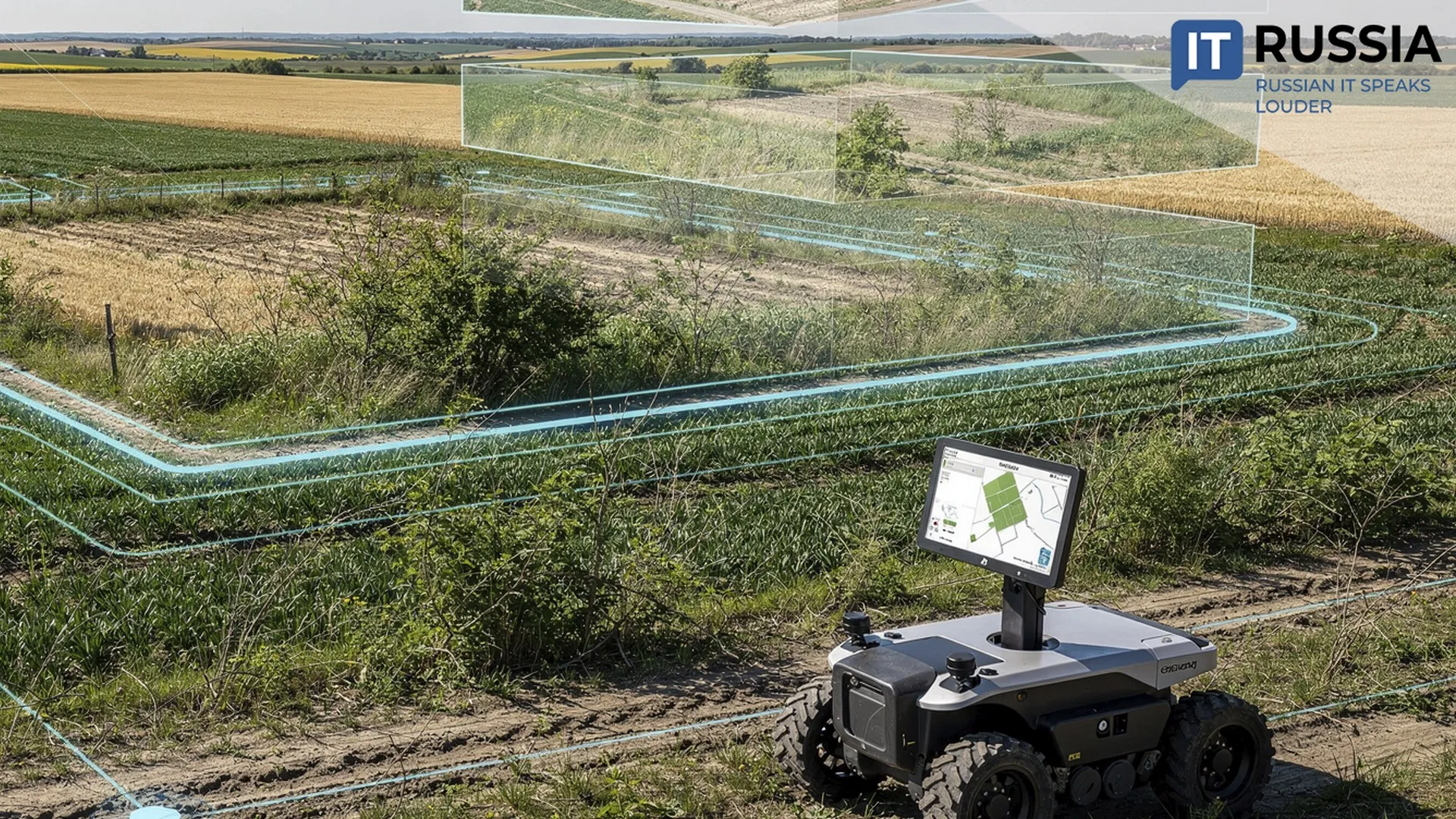
Tsentr Programm Sistem Group has developed a GEO service that combines geographic information technologies, satellite imagery and artificial intelligence.
A Field for Digital Tools
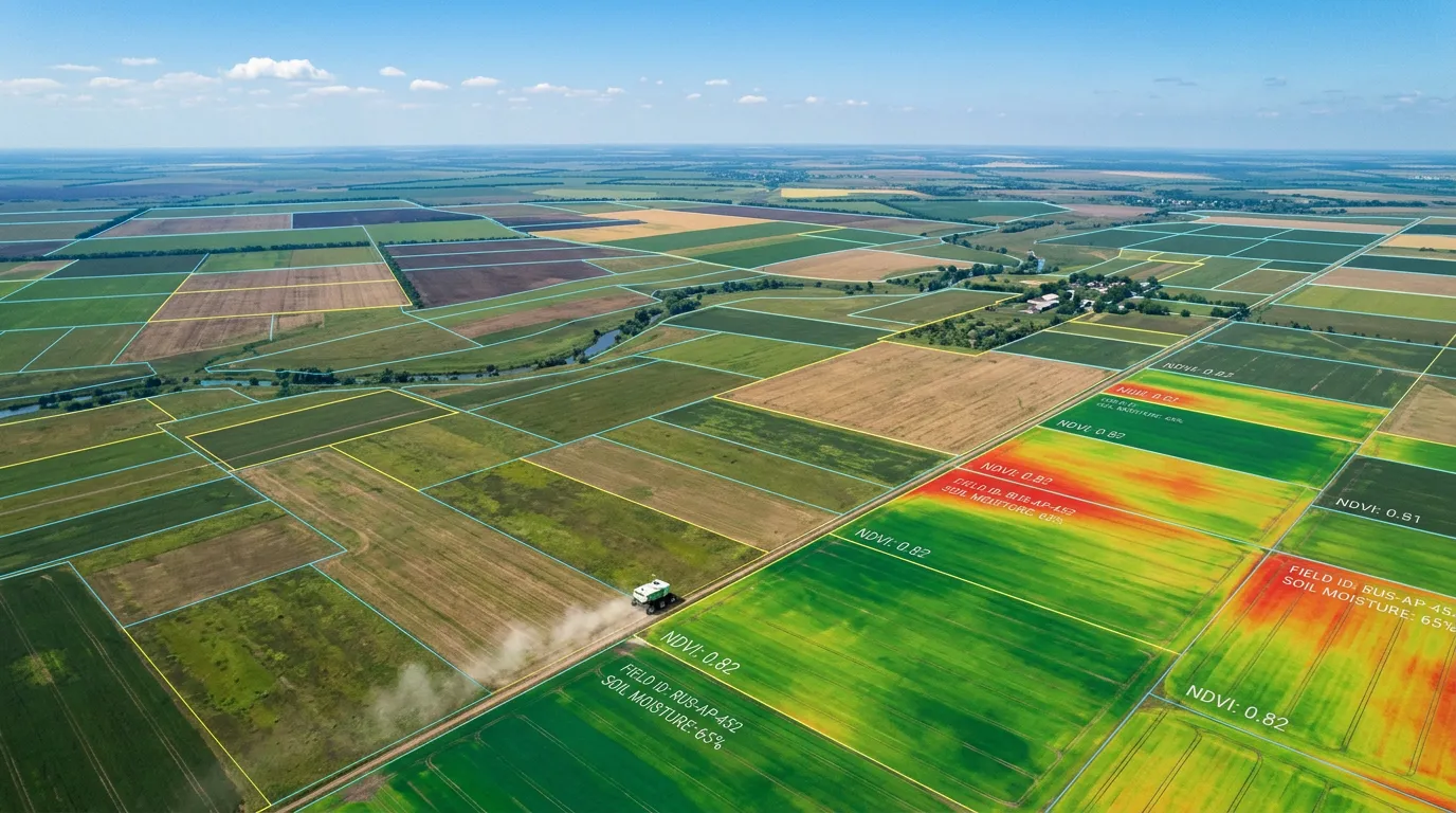
Before heading into the field, an employee of a regional agriculture ministry or municipal land oversight agency can remotely assess the condition of a specific plot. The system analyzes natural-color satellite imagery and the normalized difference vegetation index, or NDVI, at a resolution of 10 meters, with data updated every three to five days. By comparing images from previous years, the algorithm can even determine when the land effectively stopped being cultivated.
Estimates put Russia’s total area of unused agricultural land at between 31 million and 44 million hectares, including about 20 million hectares of arable land. Over four years, the Zemlya (Land) state program has brought 3.3 million hectares back into agricultural use. By the end of the program, at least 13 million hectares are expected to return to production. Reaching that target would be extremely difficult without digital tools capable of effectively “working” the fields across all of Russia’s regions.
Numbers and Images
Over the past several years, Russia has been undertaking a large-scale digitization of government land management. Since 2022, the Ministry of Agriculture has been building a unified federal map of agricultural land. The Kaliningrad, Moscow and Belgorod regions, along with Tatarstan, were selected as pilots. By spring 2024, the effort had expanded to 36 Russian regions.
“This will make it possible to build a sound, clear and transparent land accounting framework so that we can improve forecasting and monitor current land use and production indicators across the entire agricultural cycle,” said Russian Deputy Minister of Agriculture Andrey Razin.
The practical results demonstrate the effectiveness of satellite technologies and unmanned aerial systems. In Russia’s Amur region, for example, a digital model in 2023 helped identify a discrepancy of more than 55,000 hectares between the actual area planted with soybeans and the area reported. In 2026, the Zemkontrol (Land Control) pilot project in the Belogorsk district of the Amur region inspected 28 plots covering nearly 4,200 hectares and found violations on 25 of them. The governor recommended expanding the approach across the region. In July 2026, at the Innoprom industrial exhibition in Yekaterinburg, Tatyana Patrusheva, deputy head of the Ural Interregional Directorate of Rosselkhoznadzor, said that information systems and unmanned aircraft systems had been used to inspect 21,400 hectares of agricultural land in the first half of the year alone. Violations were identified across 8,816 hectares, including 2,356 hectares detected specifically through drone imagery.
That progression – from pilot project to regional standard – is the most likely path for the new GEO service as well. Its architecture could also find demand in other countries with large agricultural territories.
Fertile Ground for Growth
More efficient land use can increase food production, create a land base for new investment projects and ultimately strengthen the country’s food security. Russian President Vladimir Putin has called for agricultural production to increase by at least 25% by 2030 compared with 2021, a target that will require expanding the amount of arable land in use. Satellite monitoring can help bring greater visibility and order to land management, returning resources that have stood idle for decades to productive use.
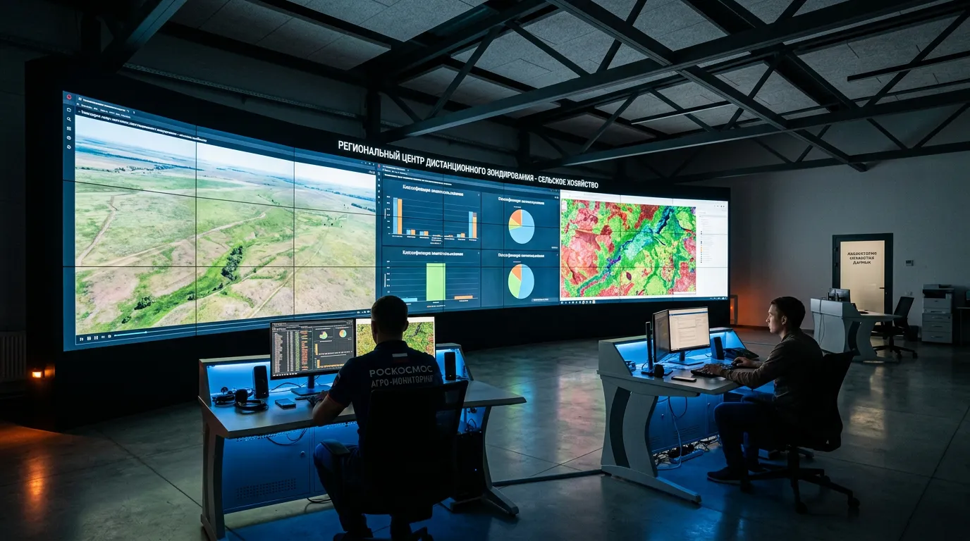
Digital monitoring is already becoming a tool for tracking progress toward land-restoration targets. In the future, regional GIS tools of this kind are expected to be integrated with federal information resources, particularly the Unified Federal State Information System for Agricultural Land, or EFGIS ZSN. The system already contains georeferenced information on fields and municipalities covering more than 247 million hectares of agricultural land. It integrates data from eight federal ministries and agencies, including Rosreestr and Roscosmos, and has tens of thousands of registered users.