Rosatom Showcases Results of the Northern Sea Route Digital Platform
Rosatom has presented the latest results from the Unified Digital Services Platform for the Northern Sea Route (NSR). The system provides end-to-end digital support for vessels, from the initial permit application through the completion of each voyage.
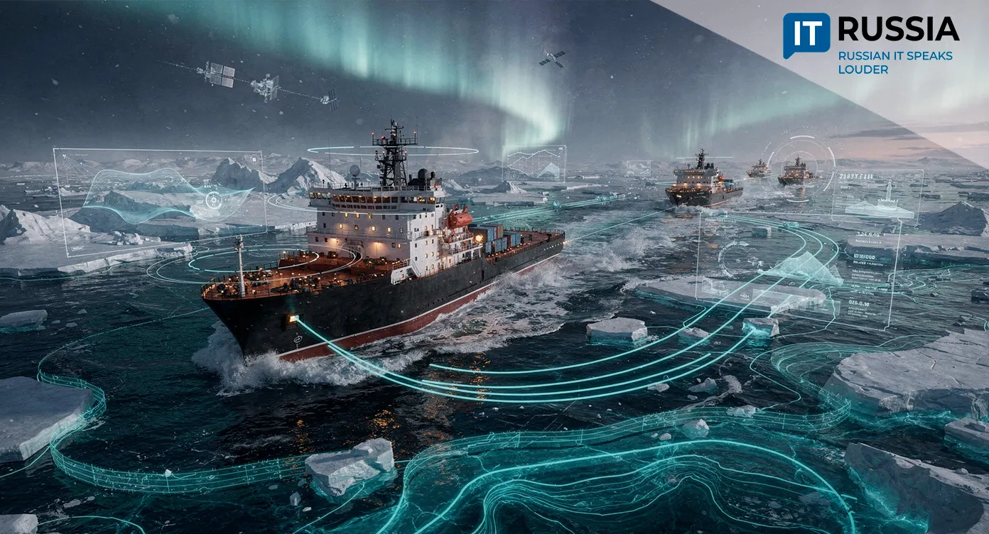
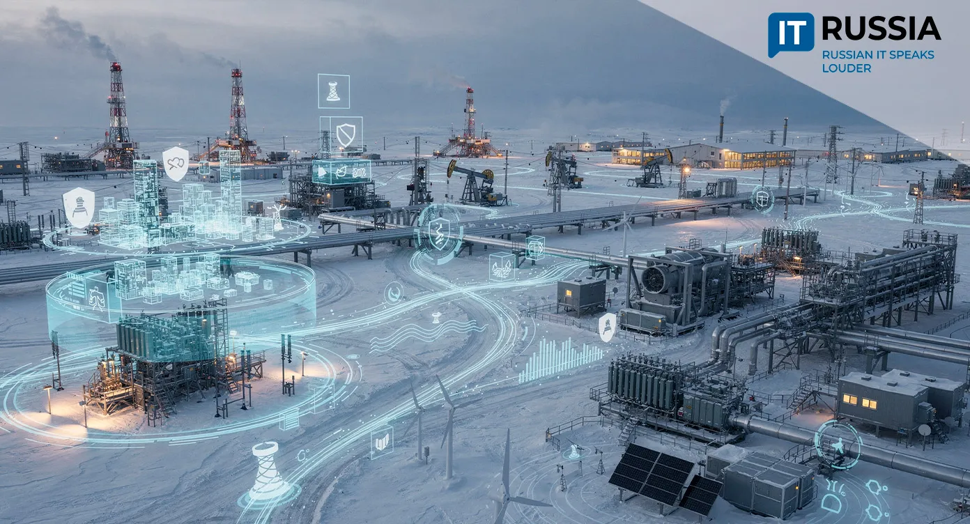
The NSR platform aggregates and analyzes large volumes of ice, hydrometeorological and navigational data, creating a unified information environment for Arctic shipping. By deploying the platform, Rosatom aims to move Arctic cargo transportation to a new technological level while improving navigational safety.
End-to-End Digitalization of Arctic Navigation
Arctic navigation has always involved significant risks and complex logistics. Until recently, obtaining navigation permits and planning voyages required shipowners to coordinate with multiple government agencies, gather information from different sources and complete lengthy approval procedures.
The unified digital platform automates these processes through a one-stop-shop model. Vessel captains and logistics companies submit applications electronically, while the system automatically verifies whether a vessel meets Arctic navigation requirements by evaluating its ice class, technical condition and other operational characteristics.
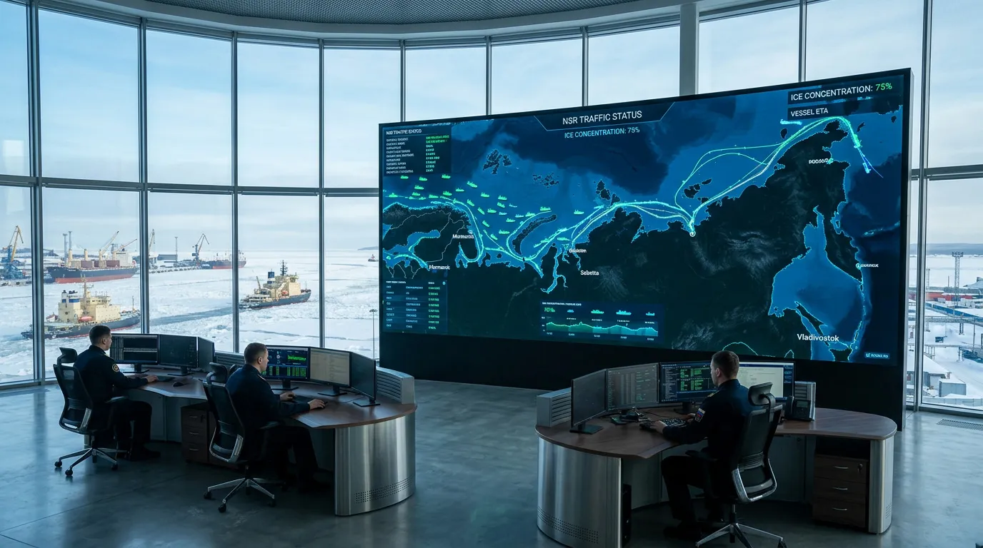
Dispatch centers receive a tool for continuous real-time fleet monitoring. Integration with navigation systems enables operators to track the position, speed and course of every vessel.
As a result, dispatchers can adjust escort schedules more quickly, issue storm warnings and respond immediately to changing conditions. Greater transparency and automation significantly reduce the time required to obtain navigation permits, lower administrative costs for shipping companies and minimize risks associated with manual document processing.

Ice Reconnaissance in Real Time
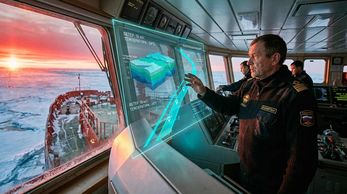
One of the platform's greatest strengths is its reliance on real-world ice measurements. Traditionally, information on ice thickness and compaction came from satellite systems and ground-based meteorological stations. Satellite radar monitoring, however, has limitations. For example, it cannot always reliably distinguish thin ice covered by snow from thick multi-year ice.
To address that challenge, Rosatom integrated data collected by measurement systems installed directly aboard its nuclear icebreakers.
As an icebreaker moves along its route, onboard sensors continuously measure actual ice thickness, ice resistance and temperature. This telemetry is transmitted automatically to the Unified Digital Services Platform, where it is used to refine digital ice charts. The result is a highly accurate digital twin of the Arctic maritime environment built on current physical measurements rather than estimates.
Optimizing the Nuclear Icebreaker Fleet
Using the collected data, the platform's algorithms calculate the safest and most efficient routes for commercial vessels. The system evaluates current ice conditions together with the characteristics of each ship to determine whether icebreaker assistance is required. If escort services are needed, the platform automatically selects the most suitable nuclear icebreaker based on its location, power and current workload.
This enables Rosatomflot dispatchers to allocate nuclear icebreaker resources more efficiently. Operating nuclear icebreakers is extremely expensive, and assigning them to vessels capable of navigating an ice section independently results in unnecessary operating costs.
More efficient icebreaker utilization directly reduces overall logistics costs along the Northern Sea Route, making the Arctic corridor more competitive with southern maritime trade routes.
Ecosystem Integration and Strategic Objectives
The platform was developed and deployed through the combined expertise of multiple organizations. Infrastructure and ice data are provided by Atomflot, while Greenatom and Rosatom's specialized divisions are responsible for the IT architecture, analytical modules and software solutions. The platform is also integrated with government information systems, including services operated by Roshydromet and Rosmorrechflot.
The Unified Digital Services Platform helps extend the Arctic navigation season and increase cargo volumes along the Northern Sea Route. As freight traffic approaches long-term capacity targets, managing those flows manually becomes increasingly difficult. The digital platform enables the Arctic shipping corridor to scale without requiring a corresponding expansion of administrative resources.
Technologies such as these lay the foundation for continued Arctic development and support the long-term transformation of the Northern Sea Route into a year-round global transportation corridor.