

Andagar and LenAero Are Rethinking How Spatial Data Works
According to Russia's Ministry of Construction, nearly half of the country's developers were already using building information modeling (BIM) technologies by mid-2026, while adoption exceeded 70% in several federal districts. At the same time, companies are moving to domestic software platforms for working with digital building models.
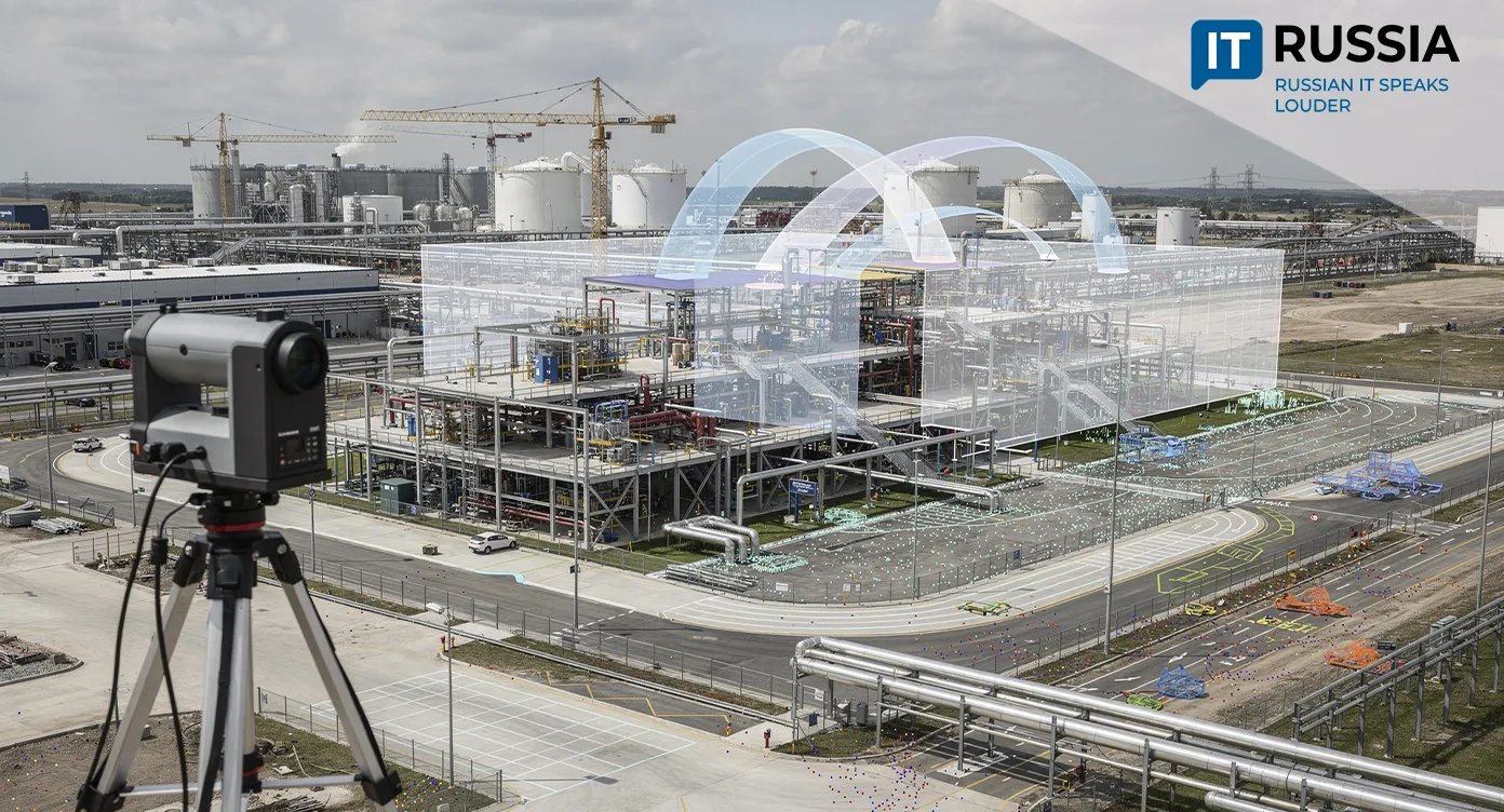
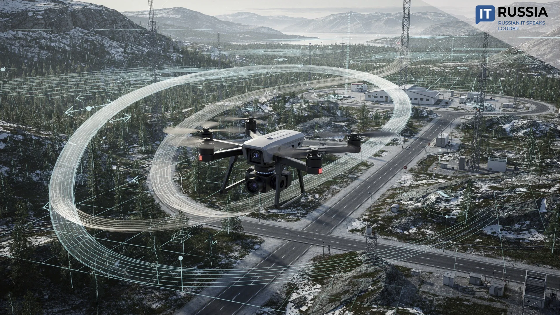
LenAero, a St. Petersburg-based engineering company, develops digital twins for construction and industrial facilities, including engineering and geodetic surveys and laser scanning. IT company Andagar has built a specialized platform for LenAero that brings together laser 3D scanning data, aerial survey data, and BIM models within a single workspace.
One Environment for Three-Dimensional Reality
Laser scanning captures what already exists in the physical world. It produces a highly detailed set of spatial coordinates for any surface, known as a point cloud. BIM models, by contrast, describe what will be built or help manage completed facilities. In an intelligent 3D model, every element, whether a wall or a window, carries its own attributes, including material, dimensions, cost, manufacturer, and installation schedule. Today, digital models are used in the construction of 46% of all new housing projects in Russia.
"Digital modeling is becoming an increasingly important part of developers' production processes. It helps improve design quality, reduce errors, and make project execution more efficient," said Nikolay Kozak, Managing Director for IT and Digital Transformation at DOM.RF.
Large BIM models and point clouds can contain billions of coordinates, resulting in datasets measured in gigabytes and sometimes even terabytes. The new platform is designed to accommodate these massive spatial datasets. Previously, viewing and analyzing such files required specialized, often expensive software available only to a limited group of professionals. That created digital barriers both within companies and across project teams. The new platform moves that workflow into a browser-based interface that combines laser scans, aerial imagery, 3D models, and information about a facility's actual condition in a single digital environment.

Building Around Data
Russian engineering companies are increasingly organizing their production workflows around data. The domestic market offered about 180 Russian digital products for design and construction in 2021. By 2023, that number had grown to roughly 600. Rather than deploying isolated BIM tools, companies are integrating them into unified production environments. Customers gain faster access to survey results, the risk of data loss or outdated file versions declines, collaboration becomes easier, and both design accuracy and infrastructure monitoring improve.
Russia is also expanding digital lifecycle management for buildings and infrastructure. New products for working with point clouds have entered the market, including NanoCAD Oblaka Tochek (Point Clouds) from Nanosoft and cloud-based BIM platforms such as Signal from Severin Development. The joint project by Andagar and LenAero sits at the intersection of those technologies, creating a link between laser-based data collection and the use of that information in design and facility operations.
Managing construction projects becomes significantly easier within a centralized digital environment. Specialists can remotely monitor project progress, compare a facility's current condition with its design model, detect deviations, and perform measurements directly within the system. Geometric measurements, from determining the coordinates of individual points to calculating the volume of earthworks and bulk materials, become available to a much broader range of project participants without requiring a site visit.

Looking Ahead in the Cloud
Andagar's platform makes highly complex spatial datasets accessible and understandable for every participant in the construction process. Its broader deployment will rely on three core capabilities: scalability, allowing the system to process point clouds containing billions of points; support for industry-standard formats used to exchange data with CAD and GIS platforms; and strong information security, particularly when handling data from industrial and infrastructure facilities.
The platform's functionality is expected to continue expanding. Future releases are planned to integrate tools for tracking material deliveries, monitoring construction equipment, video surveillance, and supervising project execution.