Researchers in Krasnodar Region Build AI Tool to Detect Illegal Construction
Scientists from Kubansky gosudarstvenny tekhnologichesky universitet (Kuban State Technological University), Kubansky gosudarstvenny agrarny universitet (Kuban State Agrarian University) and Moskovsky fiziko-tekhnichesky institut (Moscow Institute of Physics and Technology) have developed an AI-based technology to identify unregistered buildings and land-use violations.
Russia spans vast territories, which makes accurate land boundary definition a persistent challenge. According to Rosreestr (Federal Service for State Registration, Cadastre and Cartography), a significant share of buildings and land plots are either missing from the cadastral register, recorded incorrectly or lack precise coordinates. This accounts for millions of real estate objects. To address this, Rosreestr launched a nationwide program of comprehensive cadastral work.
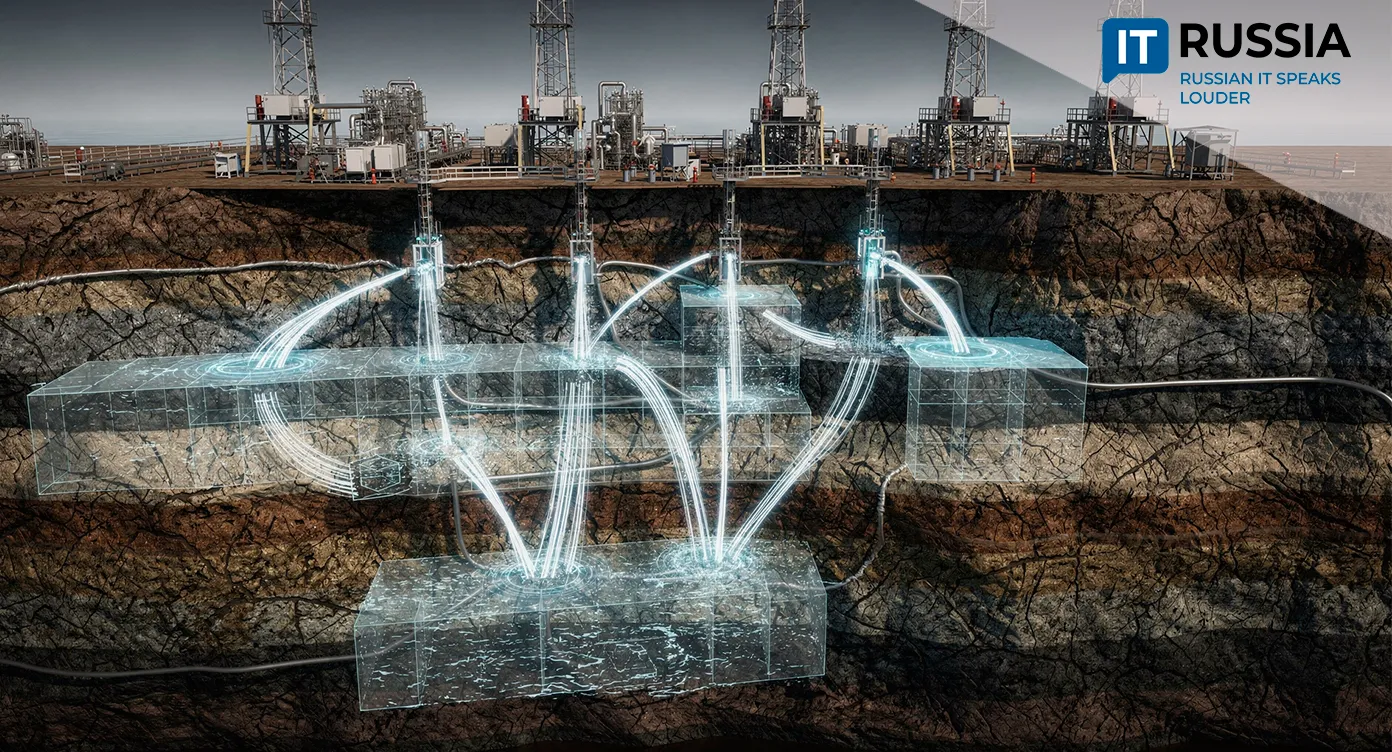
Geodetic methods are typically used to handle these tasks. However, when the number of objects scales into the millions, traditional surveying struggles to keep up due to low throughput, limited access to certain sites and limited process control.
Accurate cadastral records are critical for regional economies. Property taxes make up a substantial portion of public revenue. Yet thousands of buildings remain unregistered in many regions. The issue is particularly acute in tourist and agricultural areas, where unauthorized construction and improper land use are common.
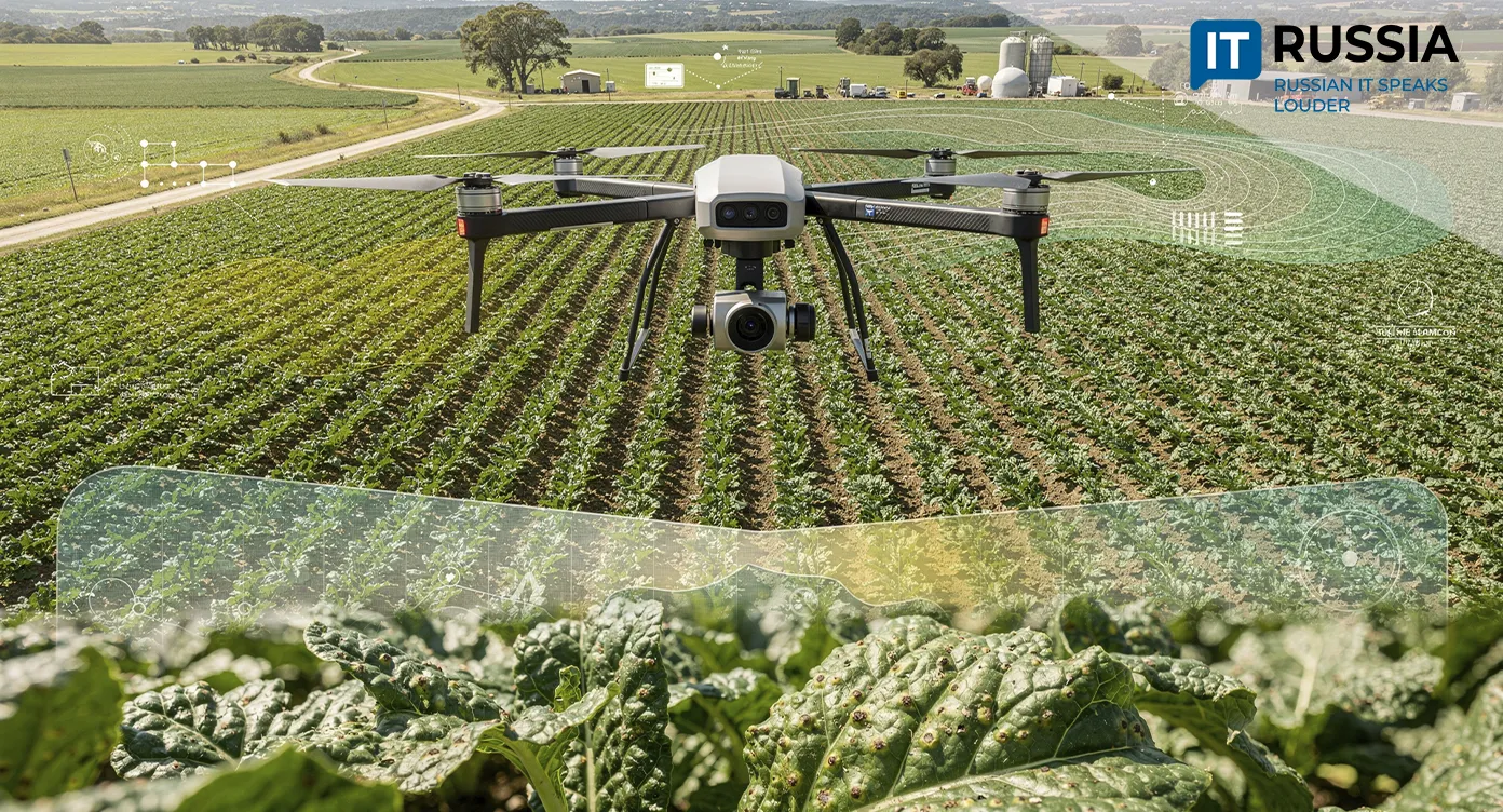
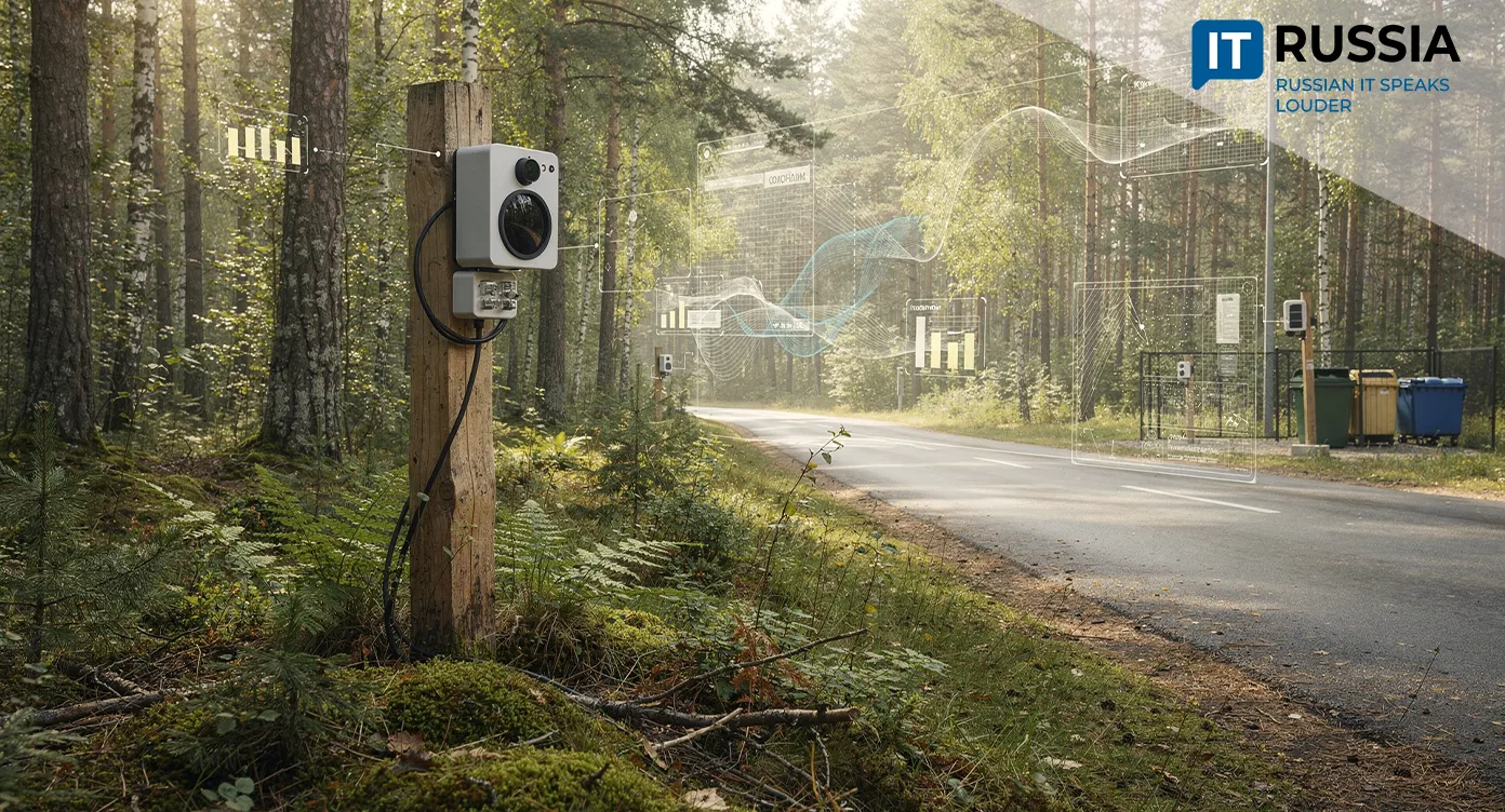
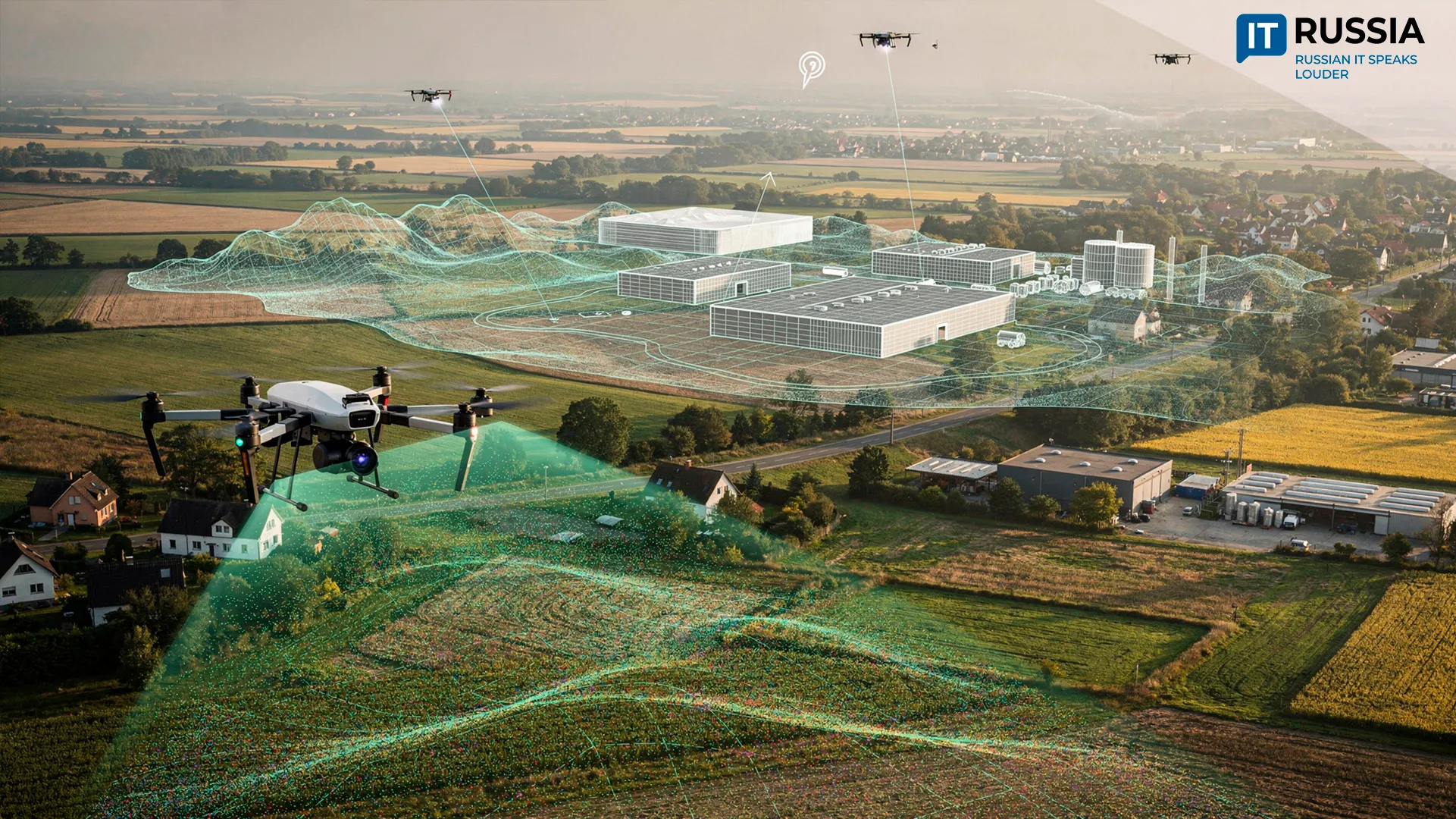
Today, violations are identified through field inspections, satellite data analysis and drone imagery. The limitation is that 2D images do not provide reliable data on building height or number of floors. If structures are hidden under tree canopies, they are often missed entirely.
A Neural Network Scans the Landscape
Researchers in Krasnodar region have developed a technology that uses artificial intelligence to detect unregistered buildings. The project involved teams from Kubansky gosudarstvenny tekhnologichesky universitet, Kubansky gosudarstvenny agrarny universitet and Moskovsky fiziko-tekhnichesky institut. The findings were published in the journal Geodeziya i kartografiya (Geodesy and Cartography).
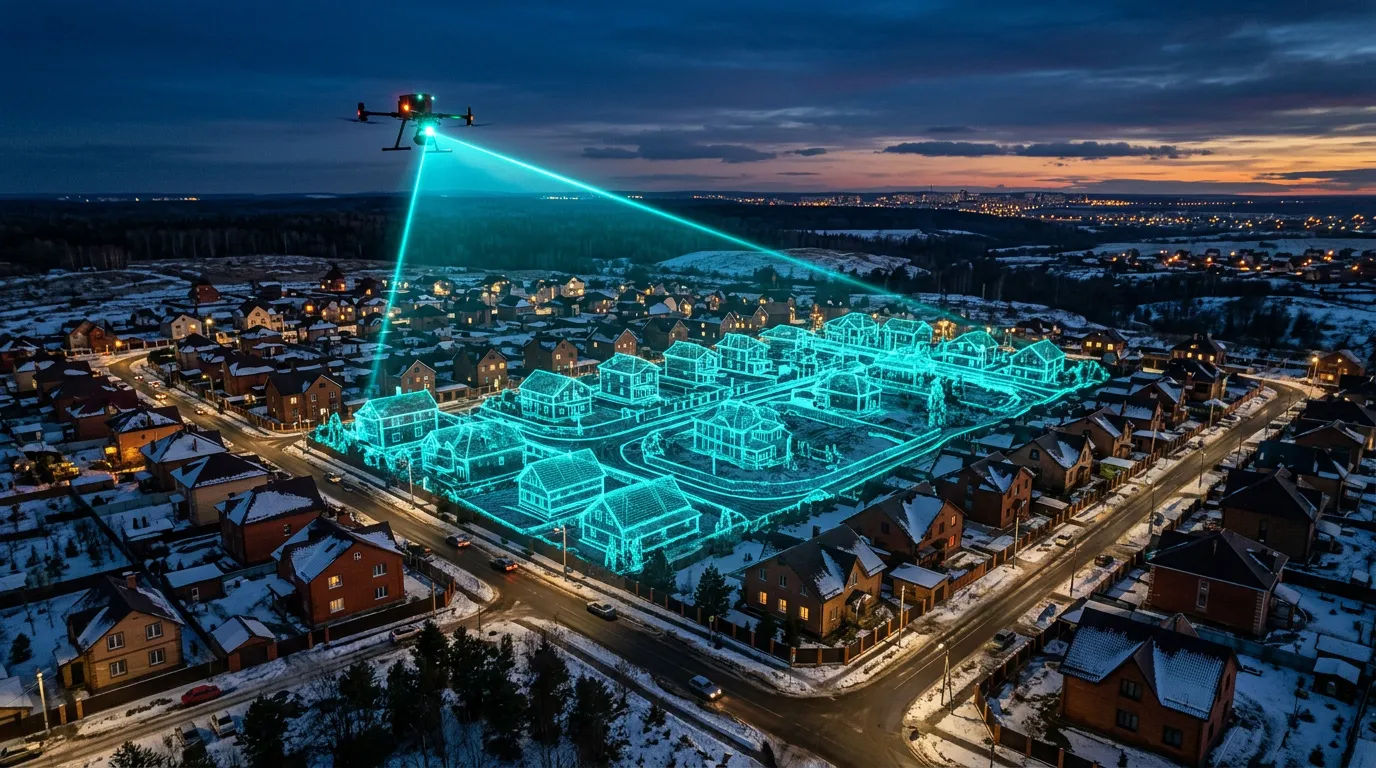
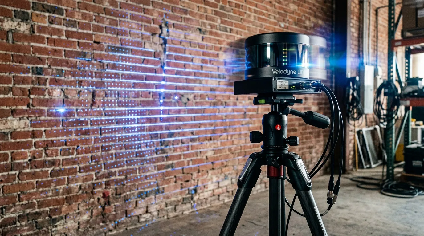
The system combines airborne laser scanning with neural network processing. A LiDAR scanner generates a three-dimensional point cloud that represents terrain and built structures. To process this data, the researchers applied a Dynamic Graph CNN architecture designed to work with unstructured spatial coordinates.
What the Algorithm Can Do
The algorithm can accurately estimate building dimensions and floor counts, making it possible to identify structures missing from the cadastral register and detect violations of permitted construction parameters.
The system flags discrepancies between federal cadastral data and real-world conditions. It speeds up expert assessments, significantly reducing the time from request to verified output.

The algorithms also help detect unauthorized construction early, preventing illegal builds from progressing. AI-based tools reduce administrative overhead for businesses and limit the need for direct interaction between regulators and property owners.
Looking ahead, the team plans to build cloud-based platforms with full process control, similar to large digital ecosystems but tailored for the construction sector. Designers will be able to upload projects and receive validation in a near-natural language format, simplifying workflows and accelerating initial reviews.
Why It Matters
The new solution could make the real estate market more transparent, which directly benefits citizens. At the regional level, it can increase tax revenue, since unregistered buildings currently fall outside the tax base. It also strengthens oversight and supports further digitalization of cadastral systems.
What Comes Next
Experts expect systems like this to become standard tools for municipal oversight in the coming years. The technology is likely to integrate into government information systems and serve as a foundation for digital twins of cities and “smart” territories.
These solutions are also in demand across BRICS countries and emerging markets, giving the technology strong export potential.
The work by researchers in Krasnodar region marks a step toward a unified territorial monitoring system, where drone, satellite and LiDAR data operate together.