In Russia, Artificial Intelligence Helps Monitor the Use of Agricultural Land
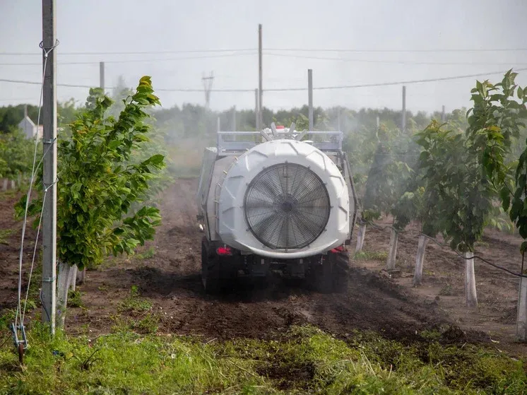
Artificial intelligence is taking on a growing role in Russia’s agricultural sector, helping regional authorities monitor land use, identify neglected fields, and return idle farmland to productive circulation through satellite analysis and machine‑learning tools.
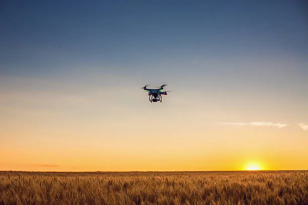
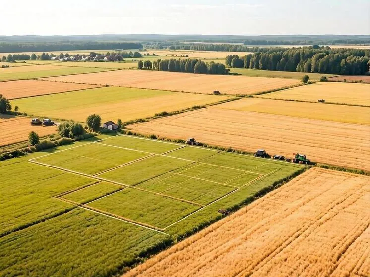
Kaluga Region is actively using satellite imagery and drone data to track how agricultural land is being used. According to Deputy Governor Dmitry Razumovsky, neural networks analyze incoming images and determine whether a plot of land is being cultivated or beginning to overgrow. This approach helps officials quickly identify abandoned parcels and bring them back into agricultural circulation.
Control From Orbit
The process begins with image decoding: specialists examine vegetation types and compare them with field maps. They then identify the enterprise or landowner responsible for cultivating each parcel. Based on matching information, the system highlights areas where farmland is not being used or where soil treatment quality is insufficient. The data is forwarded to oversight agencies, enabling them to respond promptly.
Razumovsky notes that digital tools have become an essential part of regional land‑management work. They reduce inspection time, improve assessment accuracy, and help authorities plan more effectively when reintegrating idle land. At the Digital Solutions Forum, where the project was presented, experts emphasized that AI‑driven remote monitoring is modernizing Russia’s agricultural sector and opening new opportunities for regional land‑fund development.