Russia Launches Online Permafrost Map
The new tool is designed to support construction and industrial projects.
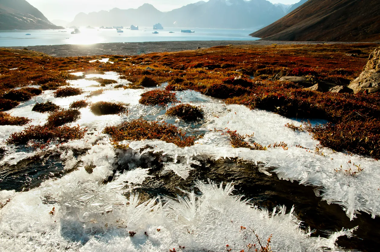
Russia has unveiled an online permafrost map, according to the press service of the government of the Yamalo-Nenets Autonomous Okrug. Data on frozen ground characteristics have been published on the region’s main mapping portal, including permafrost depth and distribution zones. The information is considered critical for economic activity in northern regions.
Monitoring the Cold
Continuous permafrost monitoring is underway in the Yamalo-Nenets region. Data for the map have been collected since 2018 from 70 technical boreholes and 400 background monitoring wells.
The service features several map layers that users can switch between. So far, data are available for five populated areas. In 2026, a predictive background geocryological map will be added, helping to improve the safety of facilities built in permafrost zones.
Yamal is the first region in Russia to join the national baseline permafrost monitoring system.