Altayles Builds a Digital 3D Model of Its Forest Holdings
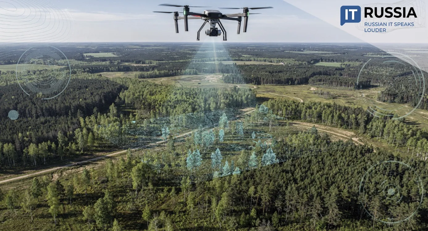
Russian forestry entrepreneurs are digitizing their forest assets using UAVs. The shift will replace manual tree accounting with automated, data-driven inventory and analysis.
Forest Inventory from the Air
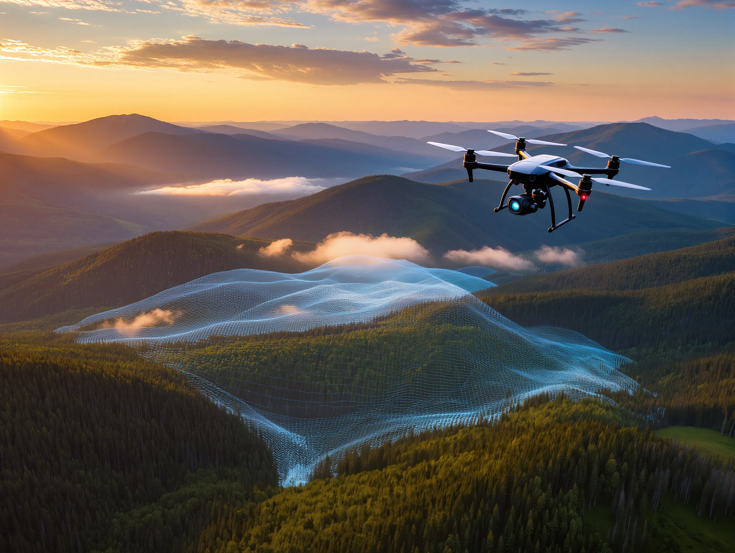
Today, the most effective way to monitor forests is through unmanned aerial vehicles. Traditional satellite-based forest monitoring in Russia provides broad situational awareness, specialists say, but it no longer delivers the operational precision required for modern forest management.
“Satellite monitoring gives a general picture, but not precise, real-time information. The solution lies in the widespread deployment of unmanned aerial systems,” said Vyacheslav Spirenkov, Deputy Head of the Federal Forestry Agency – Rosleskhoz.
Russia ranks first globally in forest area, with 894 million hectares covering 46.4% of its territory. Managing resources at that scale will inevitably require more advanced technological tools.
UAVs can quickly and thoroughly assess vast territories, supporting tasks ranging from forest inventory and pest control to identifying illegal logging and poaching. They enable continuous tracking of forest growth dynamics, condition assessment, near-tree-level counting, and early detection of unauthorized harvesting.
Altayles Creates a Digital Forest Map
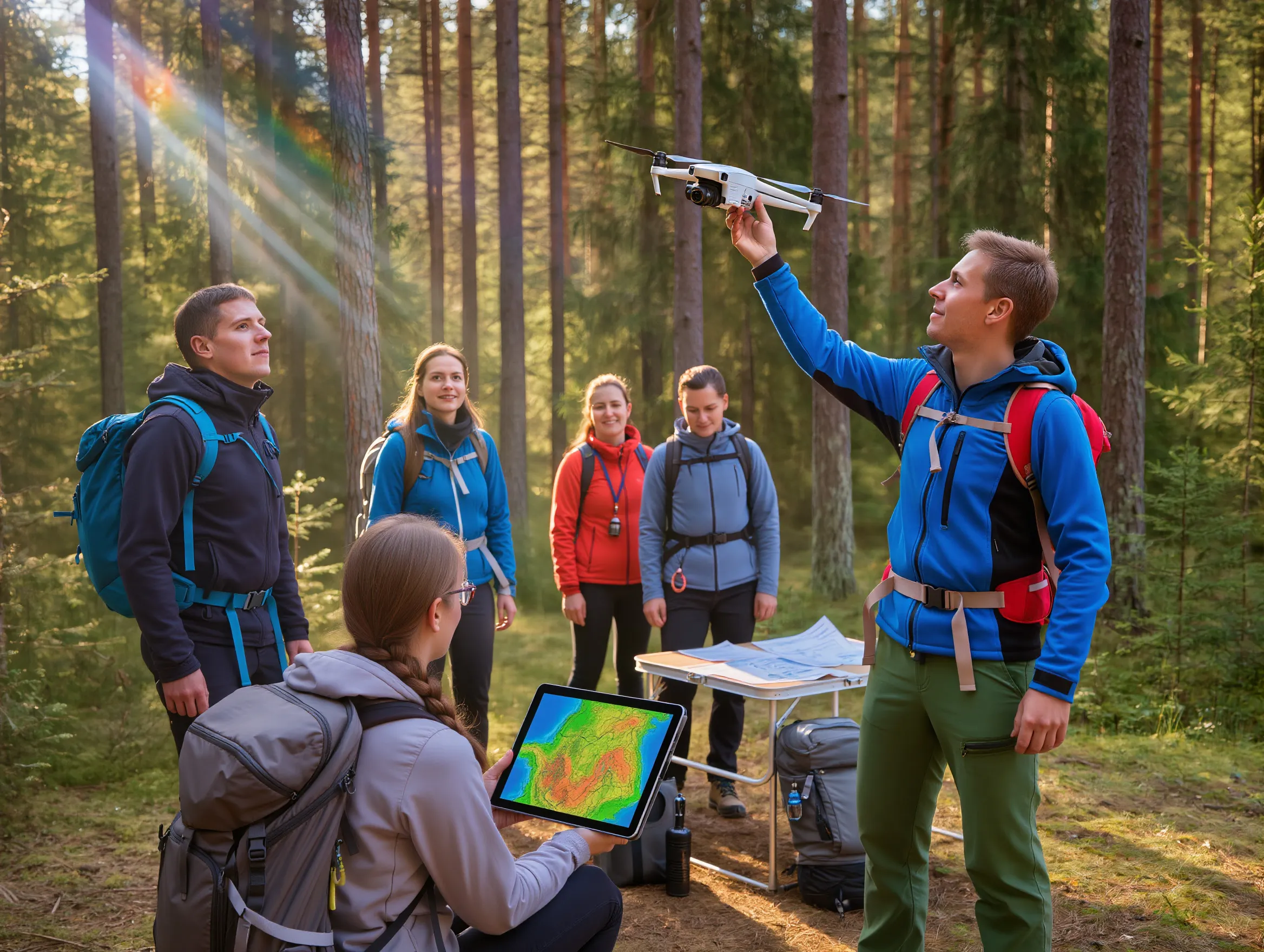
In the Altai Krai, executives of the holding company Altayles are building a digital 3D model of the forest land where the company operates. The initiative is led by Director of Forestry Valery Savin, Director of Timber Supply Yury Bespalov, Chief Forestry Specialist Nikolai Lenkin, and Senior Timber Supply Specialist Maksim Yakhontov.
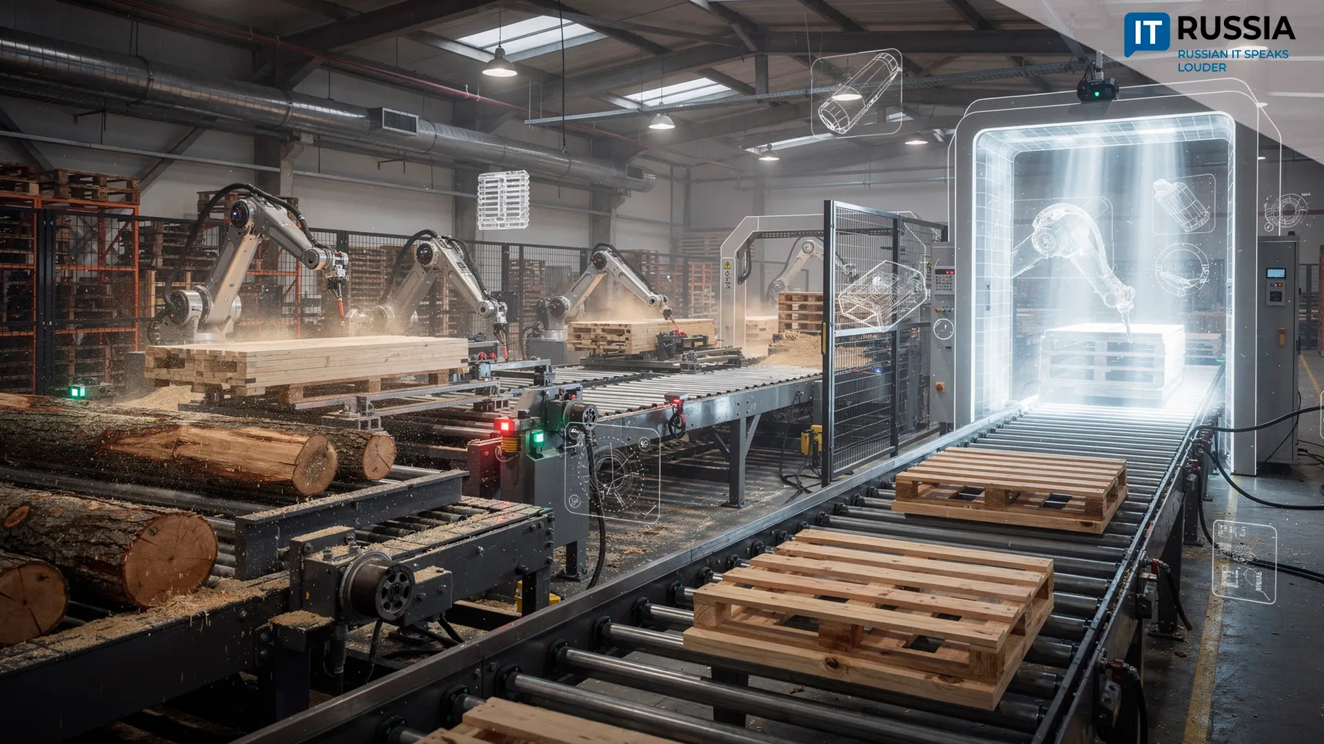
During a single flight mission, a quadcopter can travel 5–6 kilometers from the operator. Daily productivity ranges from 50 to 200 hectares. The drone carries a LiDAR scanner – a device that emits and receives light pulses. The beam travels downward, reflects off objects, and returns to the receiver. By analyzing the time delay, specialized software constructs a three-dimensional terrain model.
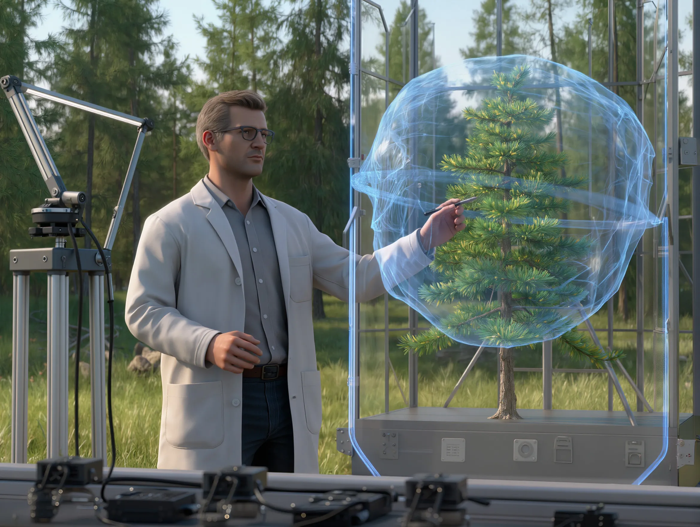
To reproduce detailed topography, including the diameter and height of each tree, the system must capture at least 700 data points per square meter. Processing and analyzing the collected data takes approximately as long as the aerial survey itself.
The geoinformation system, known as Arboritm, was developed and continues to be upgraded by the Arkhangelsk-based company Otkryty Les. The software integrates artificial intelligence that continuously learns. Its core objective is to accurately distinguish between tree species. Altayles executives contribute to this process by validating field measurements against LiDAR results.
“At first, our team measures trees manually. Then we launch the LiDAR drone and send the collected data to Otkryty Les. They compare datasets and adjust the software accordingly. I believe that in the near future Arboritm will operate with a high degree of accuracy,” said Valery Savin, Director of Forestry at Altayles.

Digital Transformation of Forest Accounting
Last year, Otkryty Les received a grant from Rosleskhoz to enhance Arboritm’s performance. The project is being carried out in cooperation with the All-Russian Research Institute of Silviculture and Forest Mechanization. Once Rosleskhoz confirms that Arboritm meets accuracy standards, legislative amendments will allow 3D models to be officially used for timber stock assessment.
At that stage, forest taxation – the comprehensive system of surveys, calculations, and planning activities required to assess forests and guide forestry development – could be conducted nationwide using UAVs and artificial intelligence. Currently, this work is performed manually.
“I believe it is important that we are participating in this research. It is better to be among the first than to catch up later,” Savin emphasized.
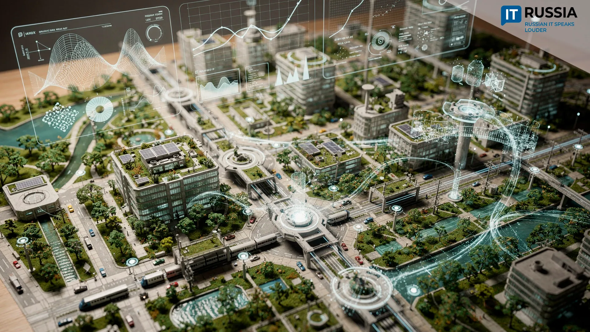
In the longer term, the technology could extend beyond commercial forestry. It may support carbon balance assessments for climate mitigation projects, evaluate damage from wildfires and floods, plan reforestation, and generate digital models of national parks and protected areas for research and tourism. The system is positioned to become a core component of Russia’s environmental monitoring and forest management infrastructure.
The platform also carries export potential. International clients could use it to develop 3D forest maps for timber production, infrastructure planning, and conservation management.