Flowers on Sand: How Digital Technologies Could Save the Steppes of Kalmykia
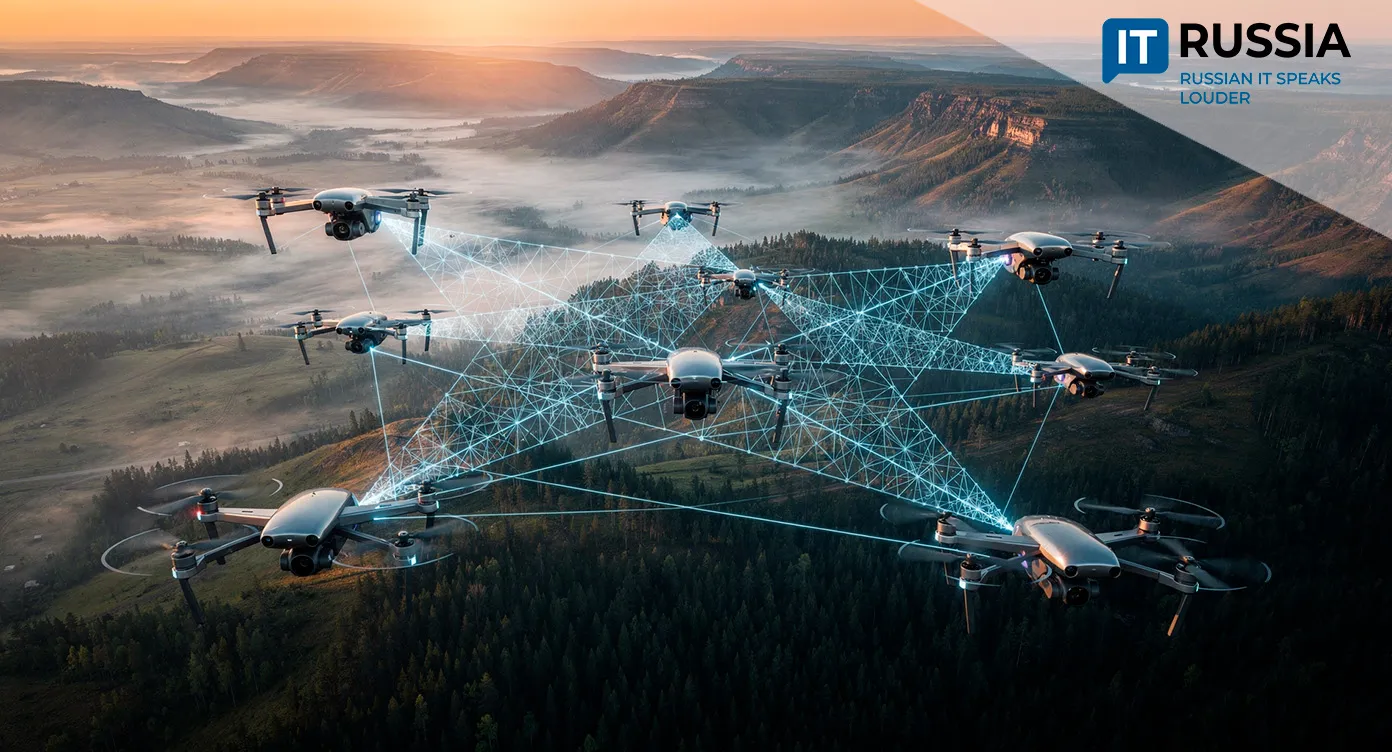
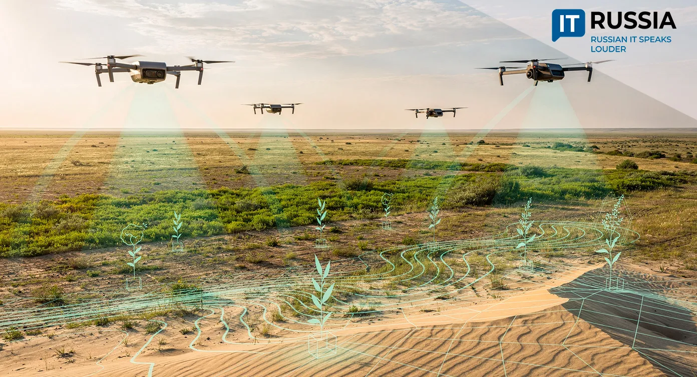
The silence of the Kalmyk steppe is increasingly broken not by the wind, but by the steady hum of drones. This is not about capturing scenic footage. It is a high-tech response to the region’s most severe environmental threat – desertification.
A View From High Altitude
Around 80% of the republic’s land is degraded to some degree, and sandstorms are becoming more frequent and destructive. At least 300,000 hectares require soil restoration. For several years, Kalmyk State University named after B. B. Gorodovikov has operated a dedicated center focused on rehabilitating degraded land. Traditional approaches, often slow and only partially effective, are now being supplemented by digital technologies. Unmanned aerial vehicles equipped with multispectral cameras and LiDAR have become a new, high-precision tool for scientists and environmental specialists.
Where phytomelioration once dominated – planting vegetation to stabilize soil – it is now preceded by deep digital analysis. Drones capable of assessing soil and vegetation conditions with accuracy down to two centimeters provide data that satellite imagery cannot deliver. They calculate degradation indices, monitor the germination of planted phytomeliorant species, and support targeted planning of restoration measures. To slow the movement of sand, the republic needs to survey roughly 10,000 to 15,000 hectares every year.
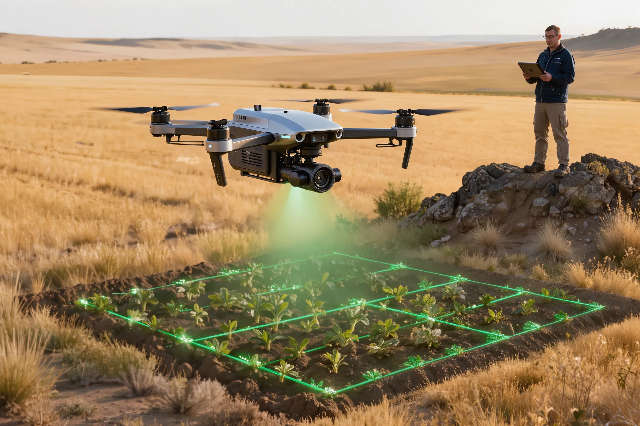
Digital Agroecologists
The first phase of work has already been completed in the most affected Chernozemelsky district. In 2026, teams of so-called digital agroecologists are expected to move into the Lagansky and Yashkulsky districts. The most ambitious element of the project, however, is the creation of a digital twin of Kalmykia’s territory. This interactive map-model will combine data on soil, air, water, and biodiversity, forming a decision-making backbone for efforts to protect and restore land.
Russian digital tools – including UAVs, remote sensing, and geographic information systems – are being positioned as solutions to global environmental challenges. The project draws in IT specialists and engages universities, where training has already begun for drone operators and data analysts. The practical benefits are tangible: preserving grazing land for livestock, reducing dust storms that threaten public health, and ultimately preventing ecological collapse in the region.
A New Way Forward
Desertification affects an estimated 84 million hectares of agricultural land across 28 regions of Russia, where moisture levels are falling below critical thresholds, threatening crop yields and food security. Globally, the problem spans more than 100 countries. Recent assessments suggest that up to 40% of the world’s land surface has already degraded. In this context, digital technologies act like a “sip of water”, offering ways to mitigate the negative impacts of desertification.
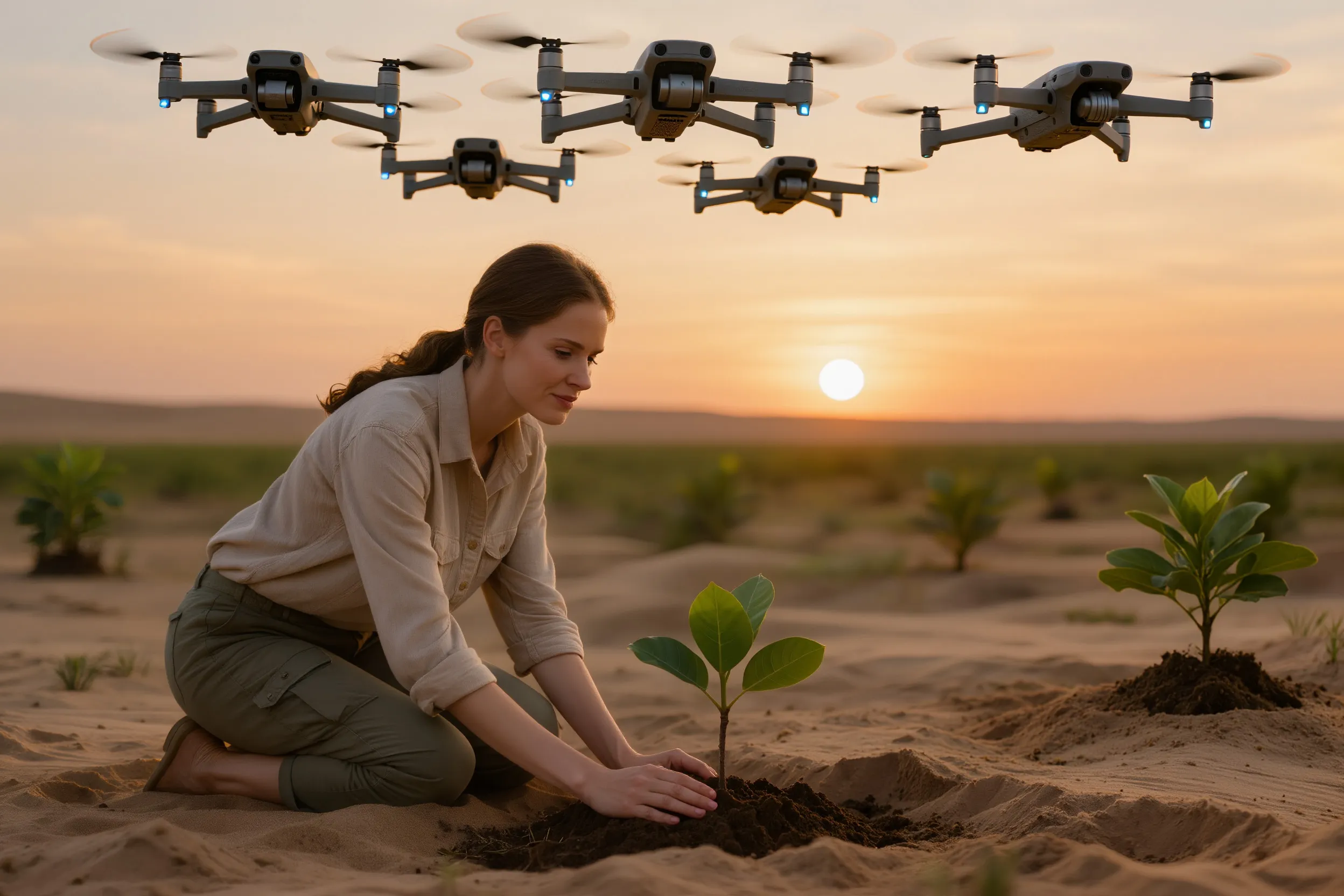
China offers a telling example. Since 1978, the country has carried out the world’s largest reforestation effort, planting more than 66 billion trees. Chinese researchers have even used drones to influence weather patterns, increasing precipitation in targeted areas. Kalmykia’s digital land-monitoring technologies could be adopted by other Russian regions and countries facing similar challenges. The project is expected to become more automated, with broader use of drone seeders and precision fertilizer drones that significantly cut costs for farmers working on degraded land.

Integrating drone data with artificial intelligence for predictive modeling could open a new chapter in agrotechnology and environmental monitoring.