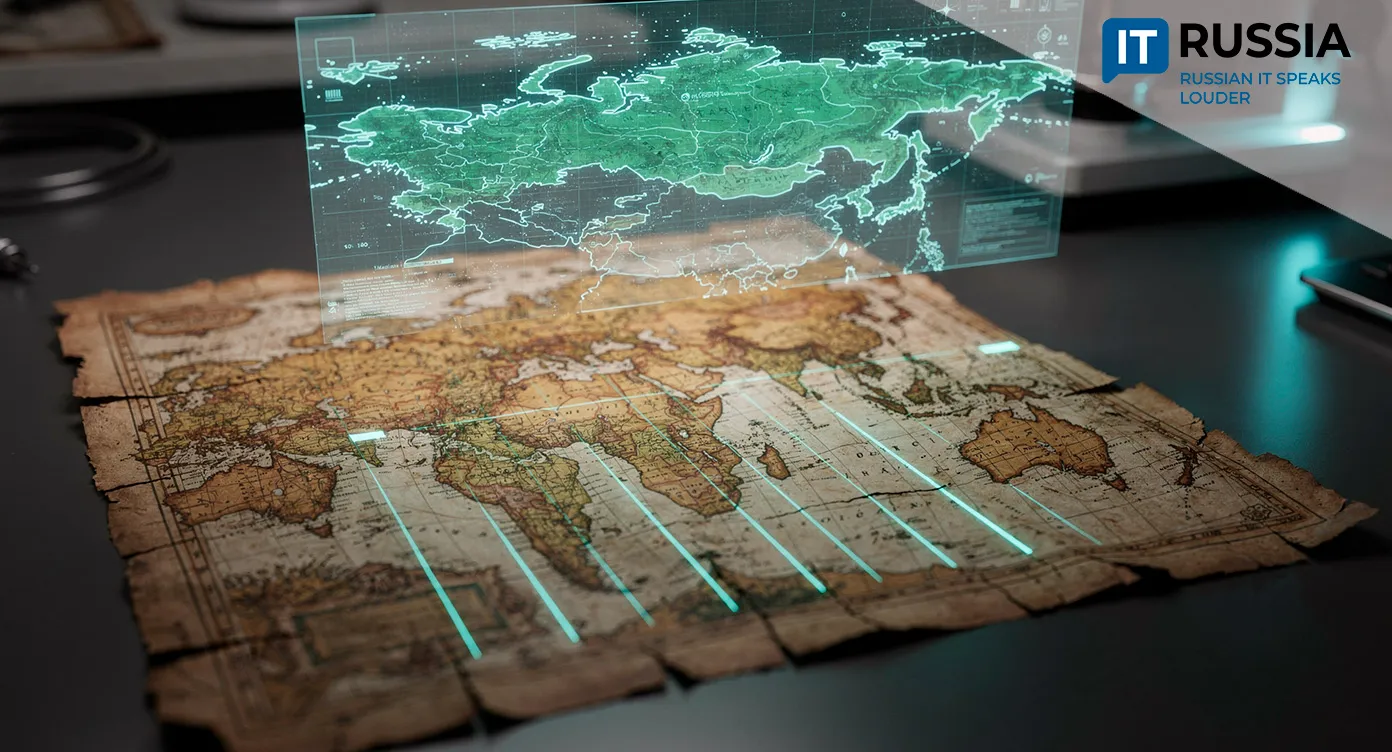
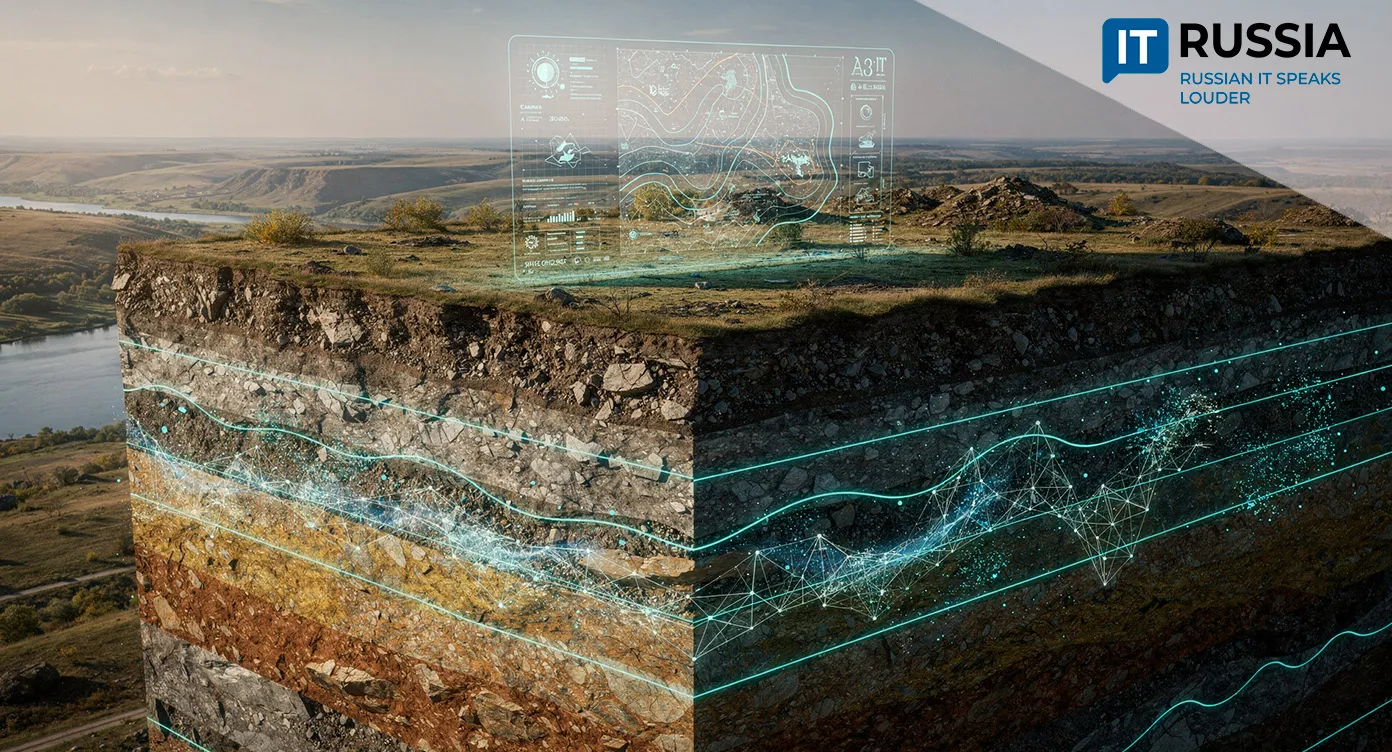
A Digital Geological Map Registry Created in Russia’s Samara Region
For the first time, data on mineral deposits, mining allotment boundaries, and other geological assets have been consolidated and digitized into a single digital system. The project covers the entire territory of the Samara Region.
All in One Place
Data collection and processing took 18 years and were initiated by the regional Ministry of Natural Resources and Ecology. As a result, information on mineral deposits and prospective sites across the region is now available in a convenient digital format, simplifying analytical work, planning, and investment assessments. In 2025, maps of the last four southern districts – Bolshaya Glushitsa, Bolshaya Chernigovka, Pestravka, and Khvorostyanka – were digitized. The structured and transparent nature of the dataset improves the efficiency of natural resource management.
The project is strategically important for several industries, including mineralogy, construction, energy, and scientific research. It is also expected to facilitate investment in mineral development projects and improve the overall quality of Russia’s geoinformation infrastructure.
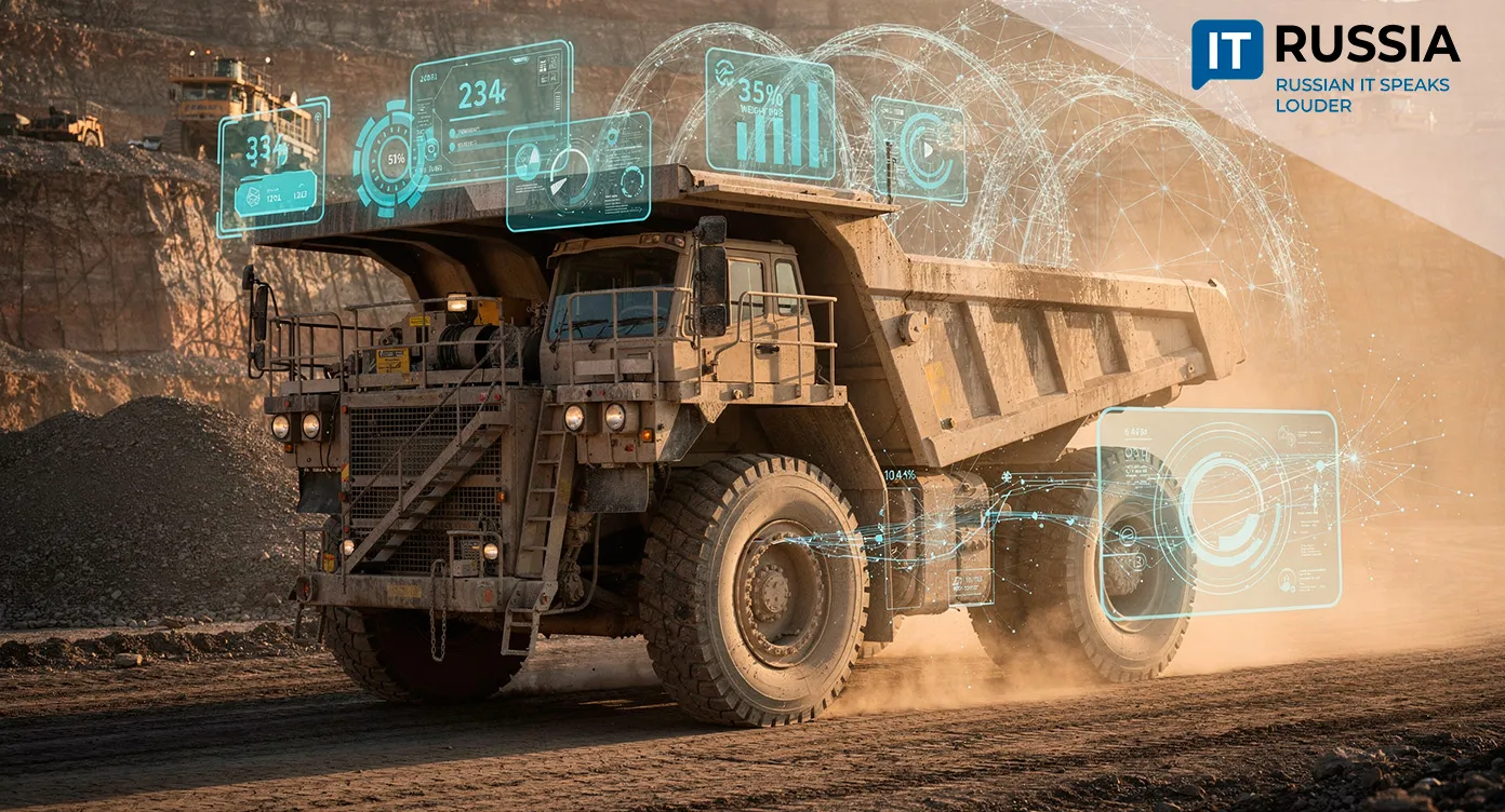
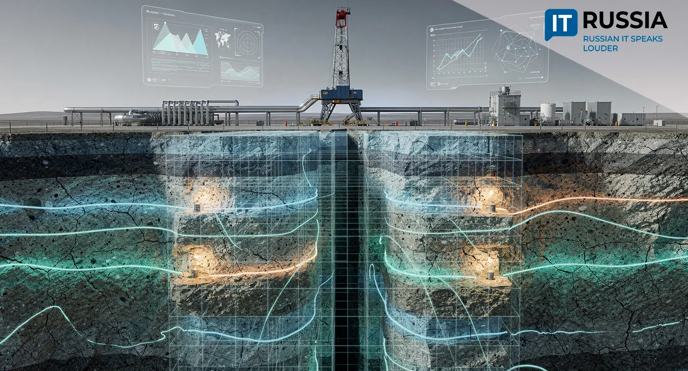
Users now have access to maps showing solid mineral deposits, boundaries of hydrocarbon mining allotments, licensed groundwater areas, and prospective zones with forecast resources of widely occurring minerals. The digitalization of the sector supports more rational use of the mineral resource base.

A Database and an Operational Tool
The rollout of the platform marks a step toward building a unified subsoil monitoring system integrated with GIS tools. Looking ahead, the registry could be incorporated into federal programs for the digitalization of geology and environmental management. There is also potential for developing training materials and open datasets for researchers and investors.

The platform opens opportunities for related IT services, including big data analysis, geological modeling, and AI-driven analytics for resource forecasting. Meanwhile, these prospects depend on the standardization of data in line with international exchange protocols and on ensuring protection of geoinformation infrastructure against external threats.

Looking Back at Earlier Efforts
Previously, Russia developed standalone digital maps for specific geotechnical tasks, but without a unified registry. For example, GIS tools were used to manage geotechnical data at individual sites, with results published in 2021 in the proceedings of the 37th International Scientific and Practical Conference EurasiaScience.
GIS applications have long been used for comprehensive geological research, demonstrating the effectiveness of digital systems in scientific and engineering practice. One example dates back to 2015, when a study was published on the Molniyeboy spur, located on the northwestern edge of the Katun Range in the high-altitude Altai region. Its unique geological and geophysical features made it a suitable object for integrated studies, including botanical, soil, geological, geochemical, geophysical, radiation, and gas surveys. This work resulted in the first version of a GIS application for the Molniyeboy spur, with a database containing tabular data for around 100 parameters.
The creation of a digital geological map registry for the Samara Region is a significant technological move toward a digital economy and open data in subsoil use. Further development of the platform is critical, including integration with cadastral systems, automated resource search, and connections to industrial platforms. In the longer term, the registry could become part of a federal digital subsoil management platform and a tool for international scientific and investment projects
Building the Foundations of a Digital Economy
Russia is not a pioneer in the use of GIS technologies in geology, but consolidating regional data into a unified digital system represents an important step toward creating a digital space accessible to all institutions involved in territorial development.
The creation of a digital geological map registry for the Samara Region is a significant technological move toward a digital economy and open data in subsoil use. Further development of the platform is critical, including integration with cadastral systems, automated resource search, and connections to industrial platforms. In the longer term, the registry could become part of a federal digital subsoil management platform and a tool for international scientific and investment projects.