Moscow Region Launches AI Land Patrol to Detect Land-Use Violations
Authorities in the town of Lukhovitsy in the Moscow region are preparing to launch an AI-powered “land patrol” system designed to automatically detect violations of land-use legislation. Officials plan to expand the technology across all municipalities in the region.
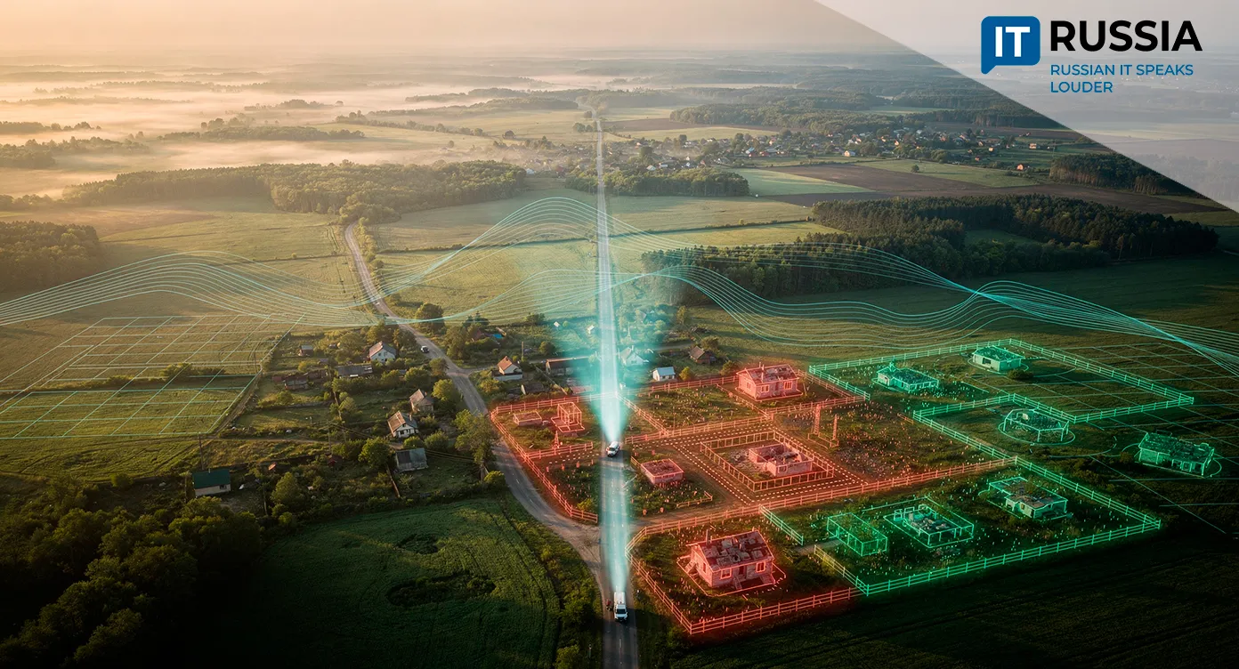
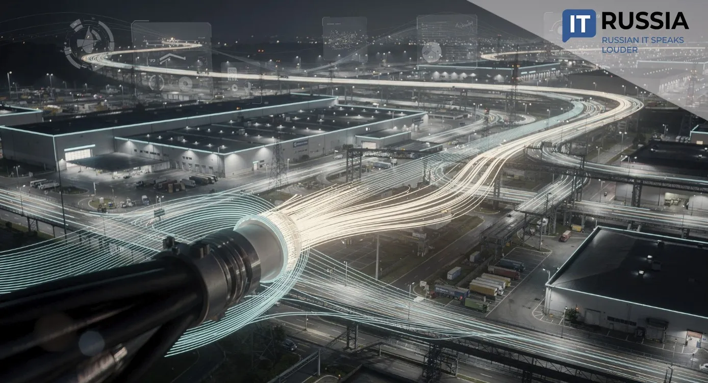
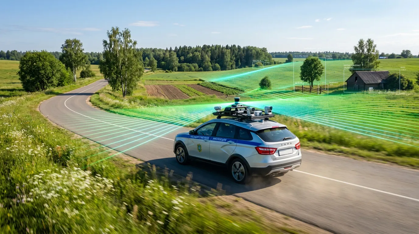
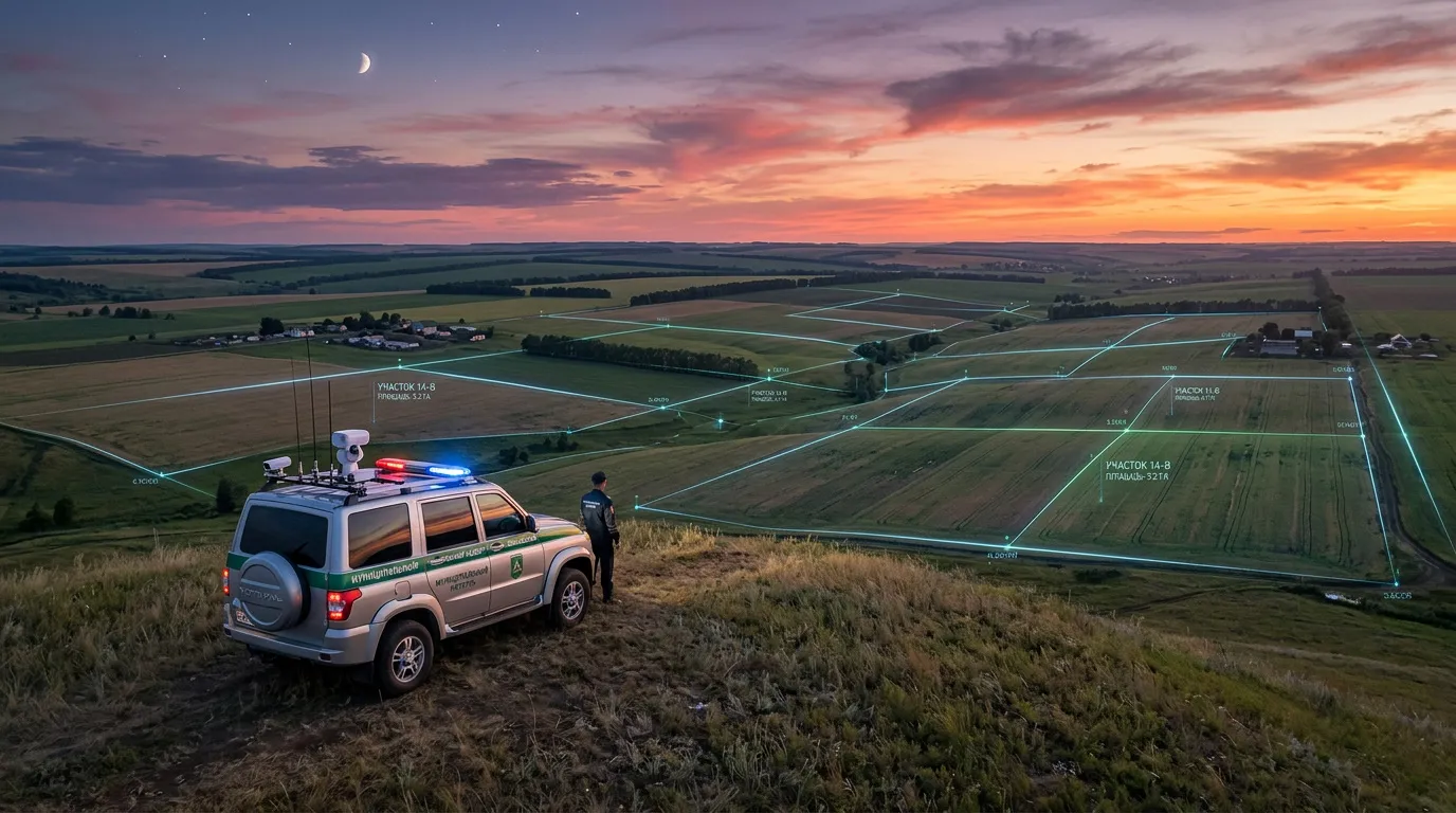
The new system combines video cameras and neural-network algorithms mounted on ordinary municipal vehicles. As the cars drive through the streets of Lukhovitsy, the technology scans in real time for signs of improper land use, unauthorized construction, or illegal occupation of territory. The collected data is then cross-checked against zoning regulations and government databases. Once a violation is confirmed, property owners can face administrative penalties, while the cadastral value of the land parcel and the associated land tax may also increase.
More Than 12,000 Violations Detected
The digital-monitoring model is already operating in nine districts across the Moscow region, including Podolsk, Khimki, and Mozhaysk. The “smart” system has identified more than 12,000 violations so far. The platform combines three technological layers: computer vision, geospatial data, and automated registry analysis. Officials say the system can also be adapted to tackle other municipal problems, including invasive hogweed growth, abandoned territories, and illegal commercial facilities.
“We are negotiating with the developers to expand the use of this software platform across multiple areas, including the detection of illegal street trading in unauthorized locations,” said Mark Cheremisov, head of the Lukhovitsy municipal district in the Moscow region.
A Digital Eye for Government Oversight
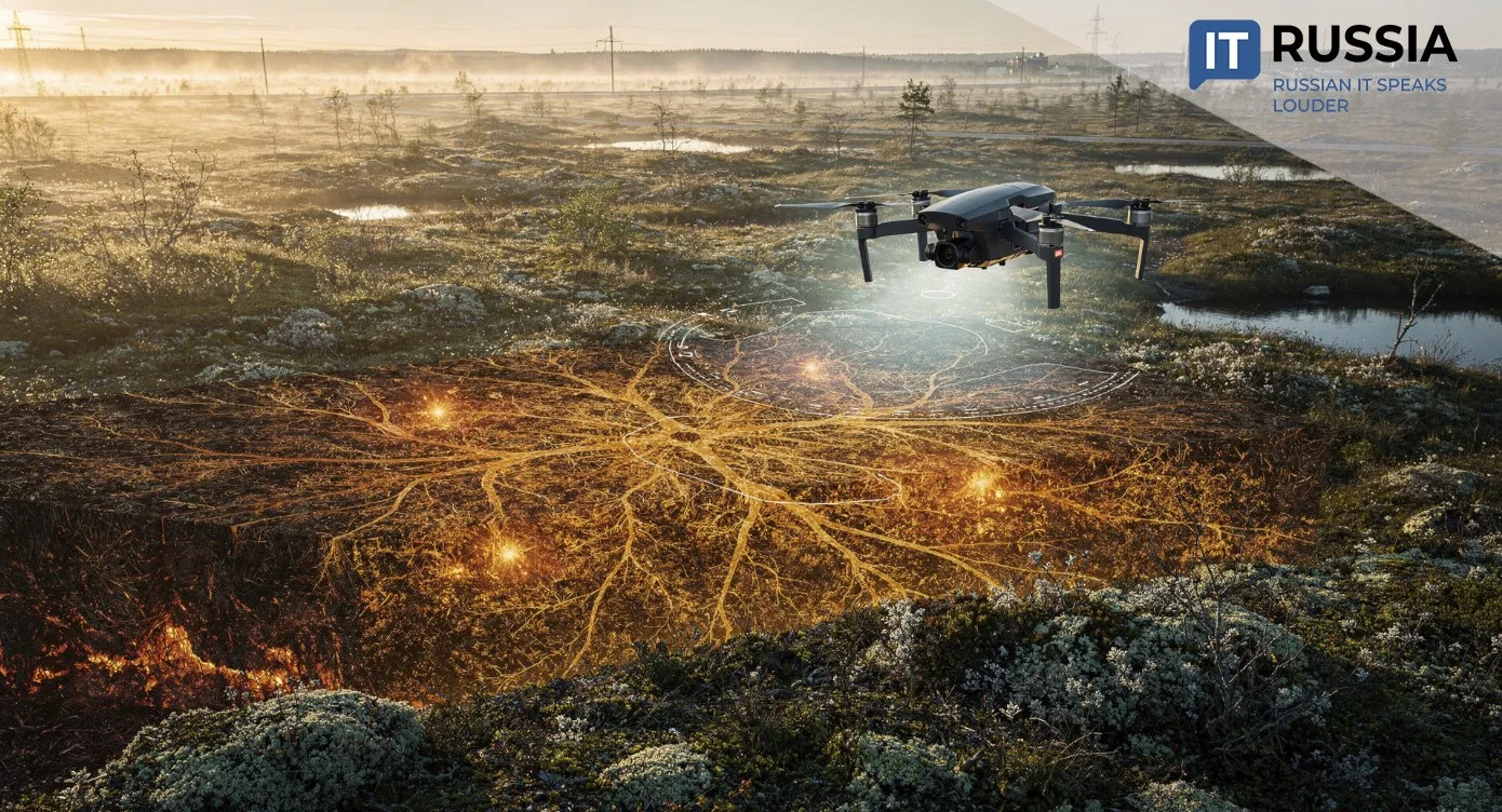
Land oversight, like many other government sectors, is increasingly adopting digital technologies. In 2021, Russia’s Federal Service for State Registration, Cadastre and Cartography, known as Rosreestr, was only beginning to test drones for surveying territories in New Moscow, conducting just a few dozen launches. Today, the agency operates a fleet of 126 unmanned aerial systems. During 2024 and the first half of 2025 alone, the drones completed more than 2,500 flights while surveying approximately 143,000 hectares of land.
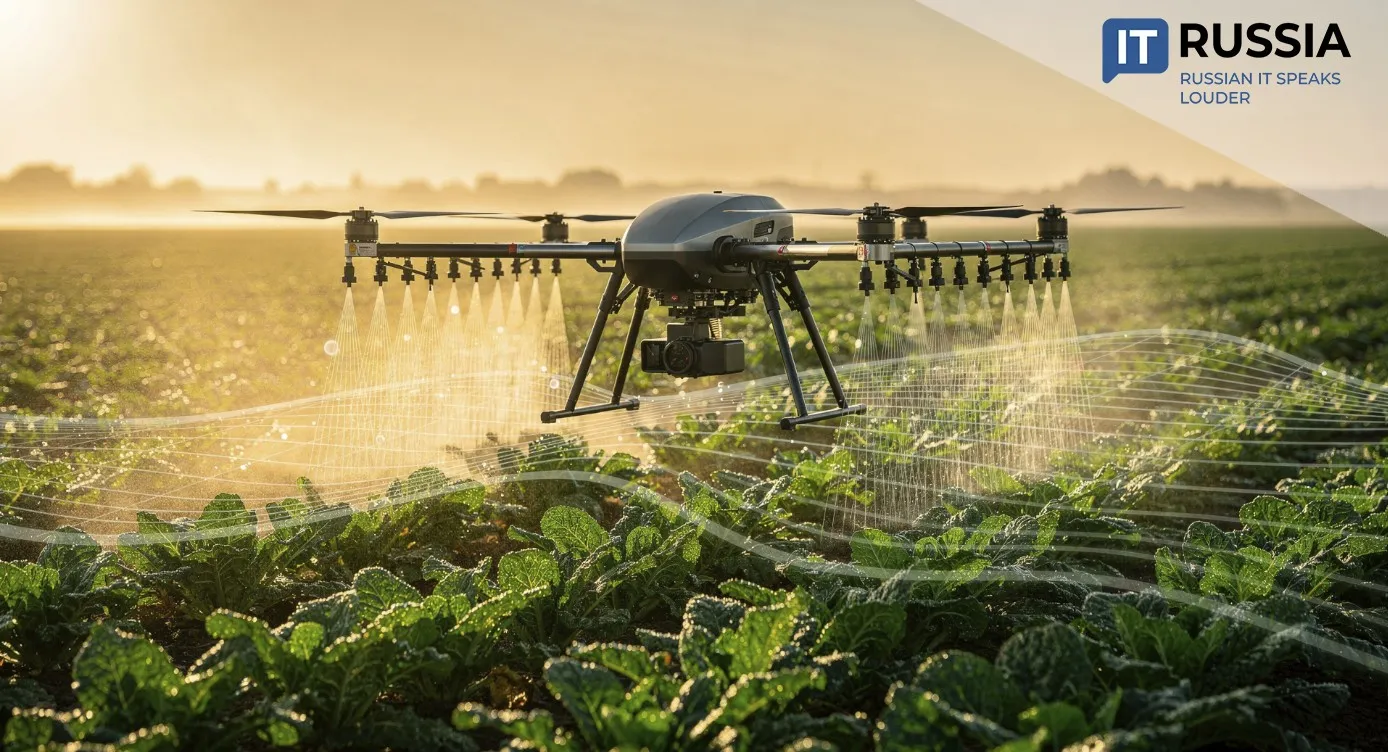
The Federal Service for Veterinary and Phytosanitary Surveillance, Rosselkhoznadzor, has also reported strong results from drone-based oversight programs. During the first half of 2024, unmanned aerial systems surveyed 62,000 hectares of agricultural land. Violations were identified on nearly 45,000 hectares, including overgrown areas and illegal dumping sites.
In the city of Ulan-Ude, drones and artificial intelligence are already being used to identify illegally occupied land plots. The process begins with large-scale orthophotography of residential districts using unmanned aerial systems. The resulting imagery is converted into detailed orthophoto maps. At that stage, the system’s AI engine takes over. The neural-network model was specifically trained for detection and comparison tasks. It analyzes the actual boundaries of fences, buildings, and other objects and compares them with official cadastral records. Parcels that exceed their legal boundaries are clearly highlighted on a digital map.
Beyond drones, Russian agencies are also deploying AI-based services. The digital assistant Umnyy kadastr (Smart Cadastre) can analyze up to 40,000 real-estate objects per day, while another assistant called Eva reduces document-processing time from 25 minutes to five. Still, officials stress that artificial intelligence functions primarily as a monitoring tool and support assistant that reduces workload for inspectors by eliminating endless field inspections. Legally binding decisions – including fines, enforcement notices, and revisions of cadastral value – remain the responsibility of human inspectors.
Mobile, Compact, and Autonomous
The AI patrol system has been evolving since 2019 and was integrated into an updated AI platform in 2025. The device is mobile, compact, fully automated, and does not require a dedicated operator. It can be installed on virtually any vehicle. According to project developers, the system currently has no direct technological equivalent worldwide.
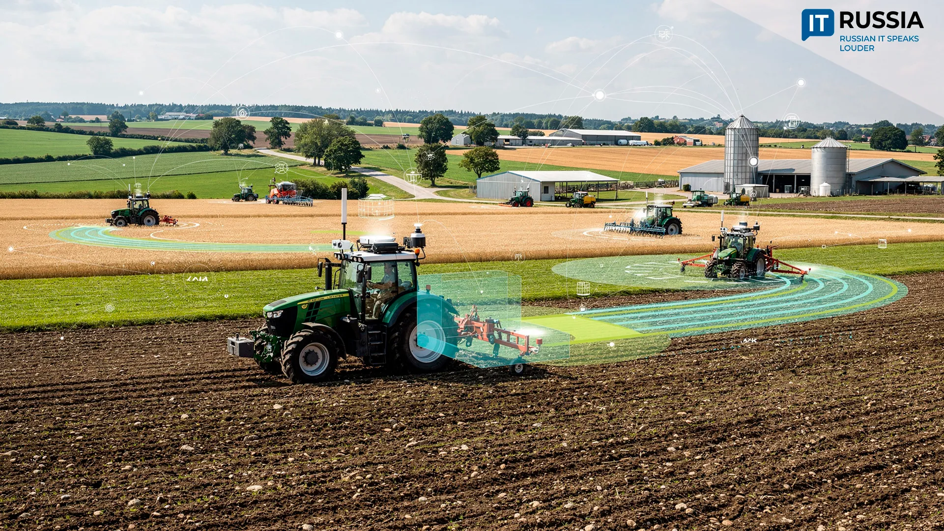
Systems of this kind are expected to be integrated first across the Moscow region and later throughout other Russian regions. Russian technologies for analyzing Earth remote-sensing data and computer vision could also find demand in BRICS countries. One example is a neural-network platform developed by Terra Tekh that is being positioned for agricultural land monitoring.