Russian Satellite ‘Geoscan-2’ Proves Highly Effective at Tracking Aircraft
In its first two orbits, the newly launched spacecraft intercepted over 1,700 transmissions from planes, showcasing how space-based tracking could close the world’s blind spots for air traffic monitoring.
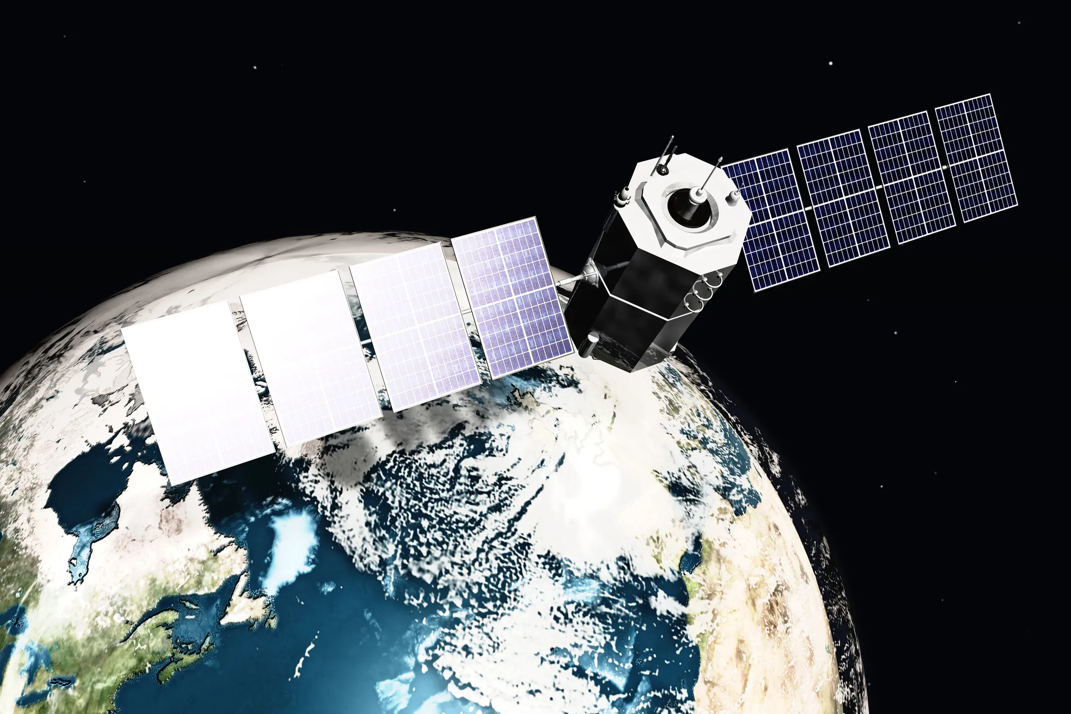
Russia’s Geoscan-2 satellite, launched into orbit on July 25, has demonstrated impressive performance in collecting aircraft location data. The satellite relies on ADS-B (Automatic Dependent Surveillance–Broadcast), a digital technology that continuously broadcasts a plane’s position.
In just two trips around Earth, Geoscan-2 received more than 1,700 messages from commercial airliners. ADS-B allows precise tracking of aircraft — including drones — by capturing their location, speed, and direction. Crucially, it can pick up signals even over oceans, deserts, or remote forests, where ground-based tracking is nonexistent.
Beyond location data, ADS-B can deliver real-time weather updates directly to pilots, reducing the risk of emergencies. Any aircraft equipped with an ADS-B transponder sends its coordinates throughout the entire flight, and with satellites like Geoscan-2, signs of trouble can be detected almost instantly.
The early results suggest that integrating Russian satellites with ADS-B could reshape air traffic safety, extending monitoring zones and enabling faster emergency response. In an era when aviation depends on global situational awareness, space-based tracking is emerging as a powerful tool to keep skies safer.