Agrometrics System Aims to Predict Crop Yields
Specialists from Moscow Aviation Institute, working alongside soil scientists from Moscow State University, have developed a space- and weather-analytics system designed specifically for agriculture.
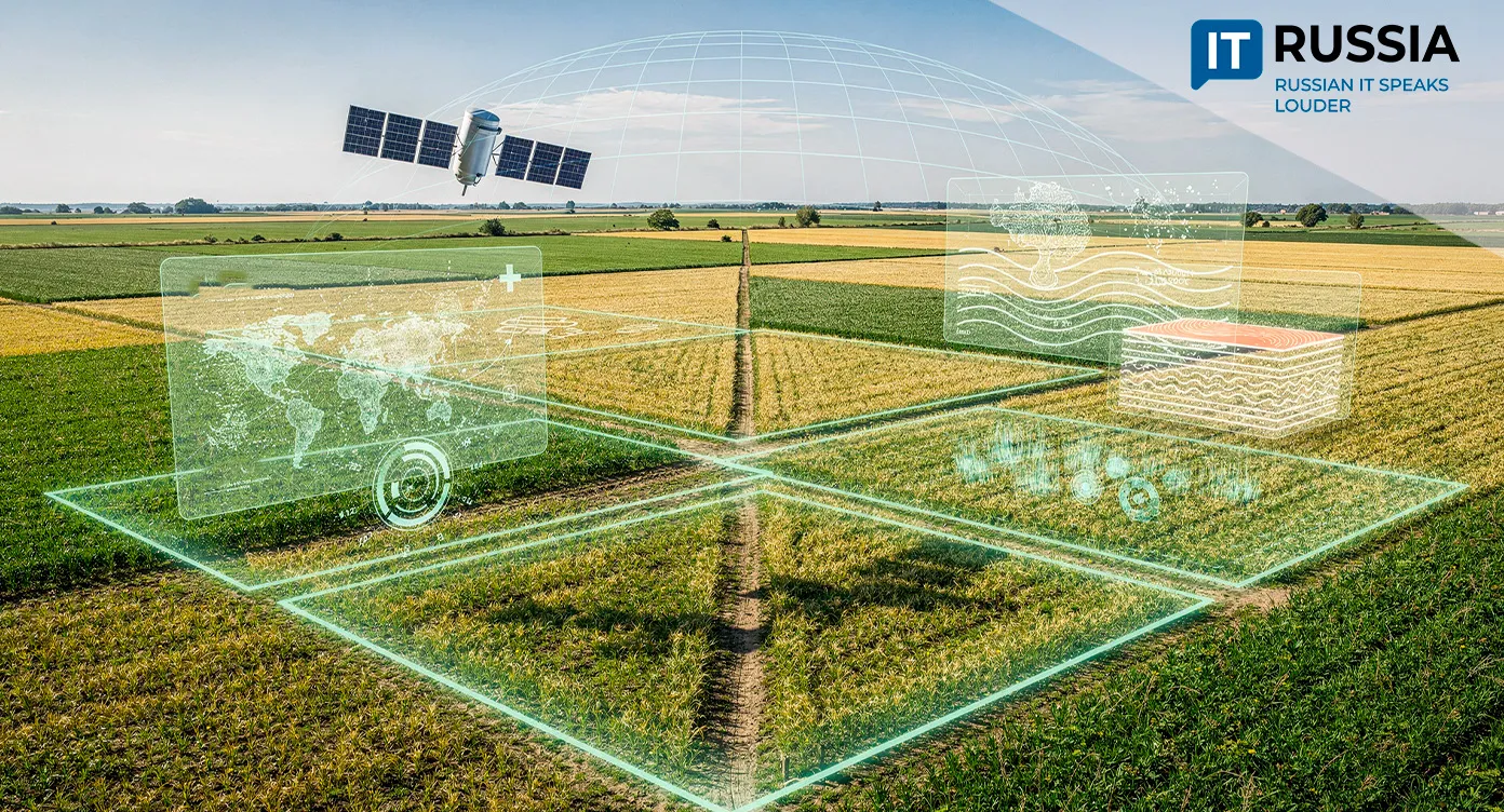
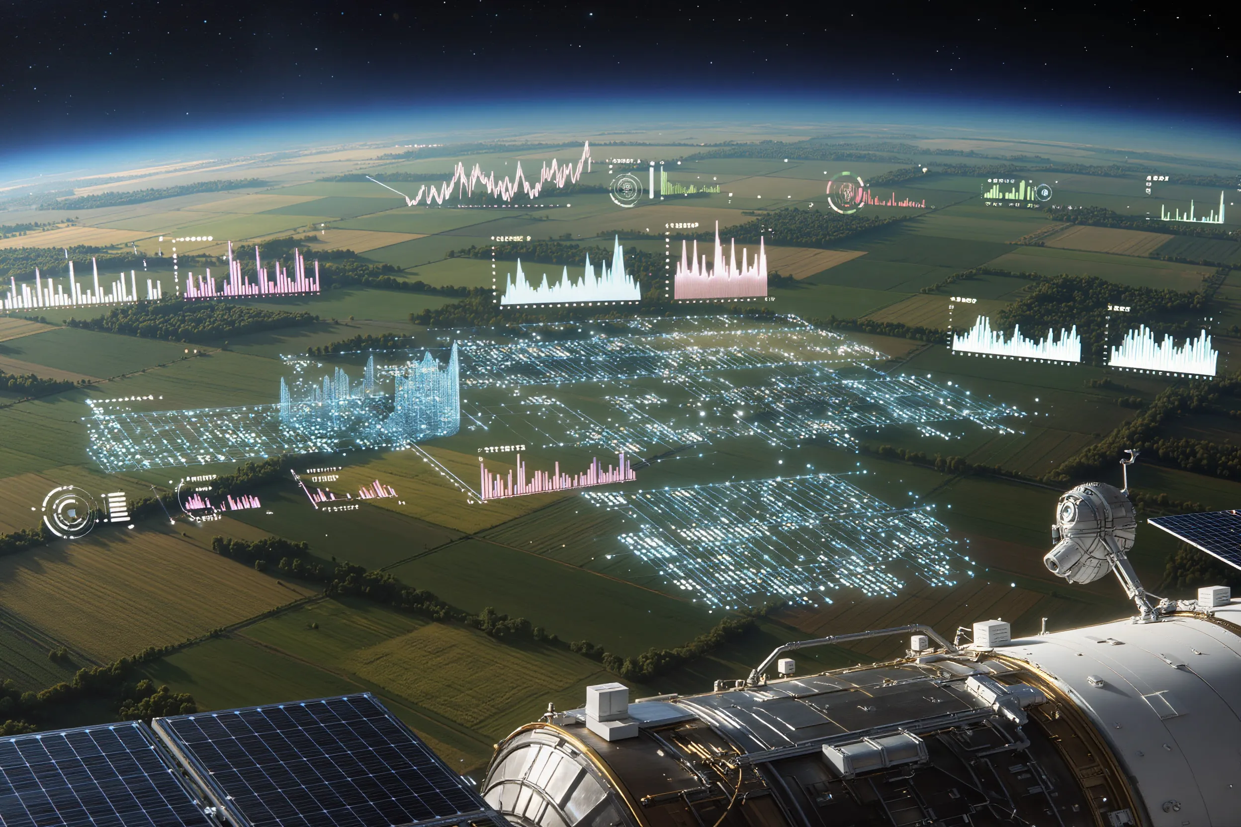
A View From Space
The core objectives of crop production are straightforward – achieving high yields and consistent product quality. To reach them, farmers need precise data on soil characteristics and current climatic conditions across the land they manage.
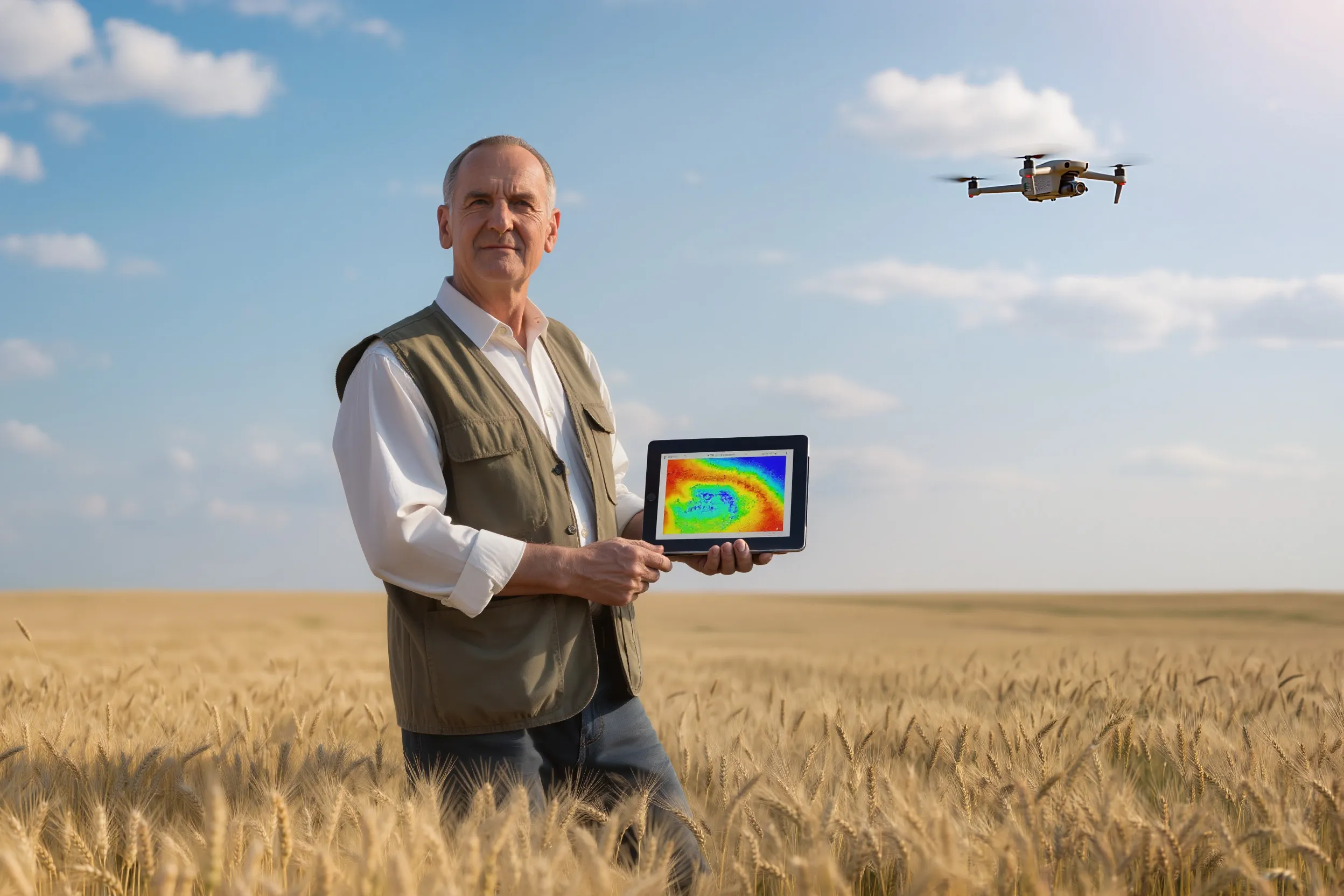
These inputs allow agronomists to determine optimal sowing windows, track crop development, and carry out timely field operations such as fertilization and mowing. Traditionally, this information has been collected directly in the field, an approach that becomes increasingly impractical given the scale of modern agricultural landholdings. Today, these gaps are effectively filled by Earth remote sensing technologies.
Students from the Moscow Aviation Institute, together with soil specialists from the MSUlab testing center and the Center for Soil, Environmental, Agricultural, and Land Expertise, have developed an analytics platform for crop production called Agrometrics.
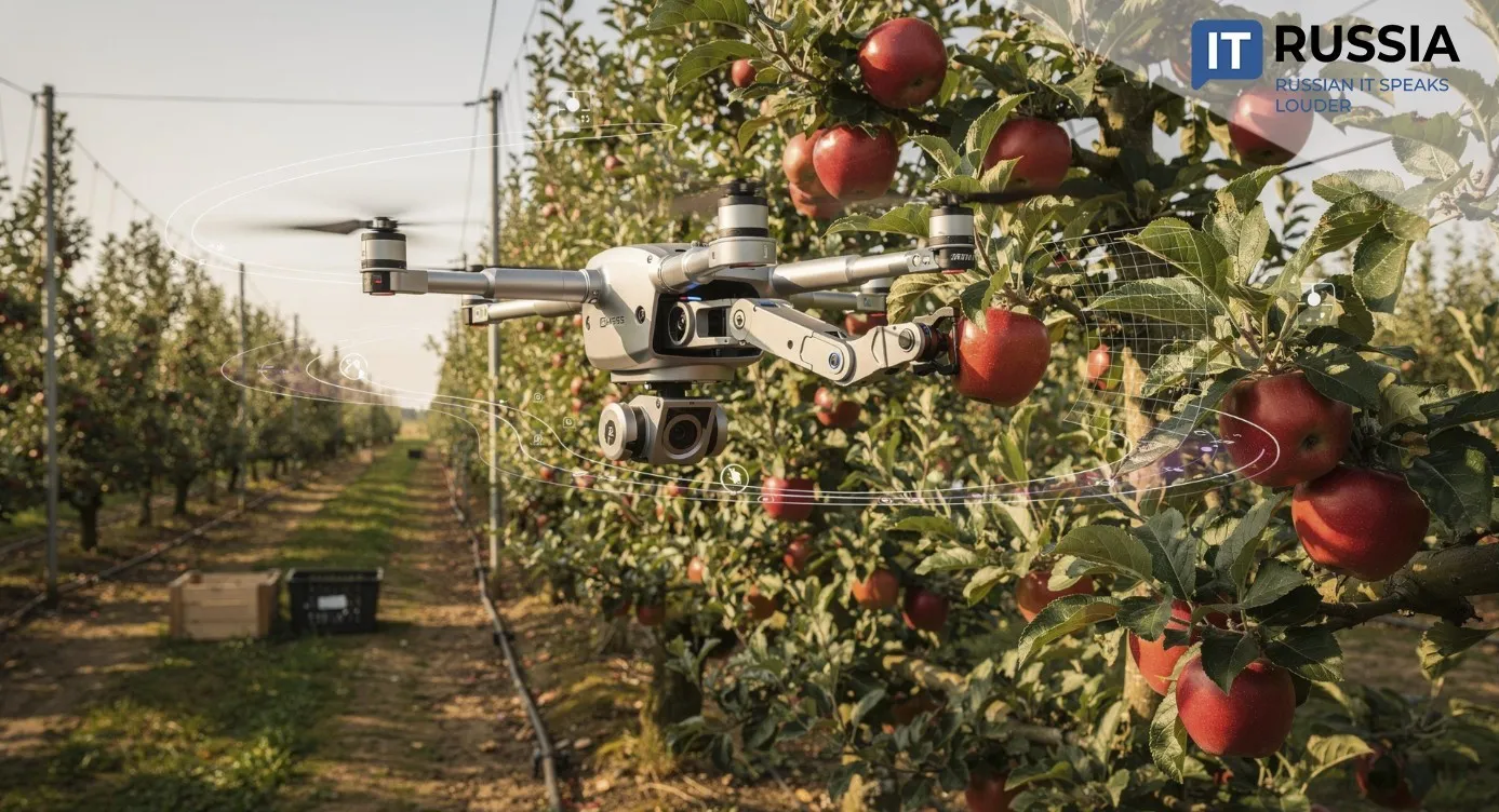
Satellite imagery, meteorological data, and topographic information are aggregated within a single platform, enabling precise, continuous monitoring of agricultural fields. Multispectral satellite systems assess chlorophyll content and water stress in vegetation, while radar satellites can “see” through cloud cover. Data collection is automated, and neural networks process and analyze the inputs. This makes it possible to accurately assess crop conditions, forecast yields, and generate recommendations to improve productivity.
Granular Field Analysis
One of the persistent challenges in traditional crop farming is that entire fields are often analyzed as if they were homogeneous. Conventional approaches apply uniform fertilizer rates across large areas, overlooking the fact that even small plots contain zones with very different characteristics. The Agrometrics system is designed to address precisely this issue.
“In reality, fields are highly heterogeneous. While crops at the edges of a plot may show strong growth, conditions in the center can be poor and, without timely intervention, crops may begin to fail,” said Ivan Lebedev, head of the Agrometrics project. “Our service allows farmers to quickly identify problem zones, set clear operational priorities, and deploy resources only where they are actually needed. Based on completed pilot projects, the accuracy of field analysis reaches up to 98%.
Satellite data combined with AI-driven analysis make it possible to divide a field into zones with different productivity levels and manage them as distinct “micro-fields.”
Revenue Growth
This level of analysis is only possible through digital data sourced from satellites and drones. The methodology developed by the team includes the creation of high-precision maps that segment fields into distinct zones. AI-based software evaluates each zone, calculates the required fertilizer volumes, and generates tailored treatment instructions. The system also accounts for field history and weather forecasts.
The technology delivers measurable gains in agricultural profitability. Pilot deployments show that Agrometrics can reduce input costs through optimized resource allocation by 15–25%, while simultaneously increasing yields by 10–20%.

An Export-Ready Product
The project is being developed with support from grants provided by the Russian Science Foundation and the Foundation for Assistance to Innovations. As part of this effort, the largest agrochemical survey database in Russia has been created, incorporating more than 6,000 soil samples from Primorsky Krai. This dataset enables developers to train proprietary machine-learning models used to generate predictive maps for agricultural operations.

Agrometrics continues to advance Russia’s precision-farming technologies and could be scaled to other climatic zones across the country, taking regional characteristics into account. Integration with GLONASS, in-field IoT sensors, and drone data could position the platform as part of broader smart-agriculture systems. These technologies are expected to find demand in regions with expanding agricultural production, particularly across the CIS, the Middle East, and Latin America, where digital crop-yield forecasting models are increasingly sought after.