Russian Scientists Use AI for Environmental Monitoring in the Arctic
Machine learning algorithms analyze satellite images, map pollution risks, and predict coastal changes.
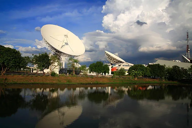
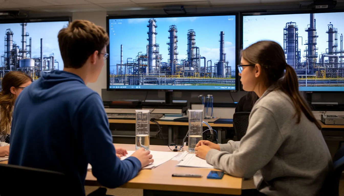
Russian researchers are turning to artificial intelligence to improve environmental monitoring in the Arctic, said Andrey Rybnikov, a lecturer at the MIREA Russian Technological University. The machine vision technology is currently being applied in the Kara and Barents Seas, where it processes satellite and aerial imagery to detect pollution zones and generate dynamic risk maps that help authorities respond quickly to emerging threats.
In parallel, scientists are advancing a new field they call predictive ecology. AI integrates data from satellites, ice buoys, and autonomous sensors to model potential shoreline erosion, monitor ice melt, and assess environmental risks to marine life and ecosystems.
From Forecasting to Prevention
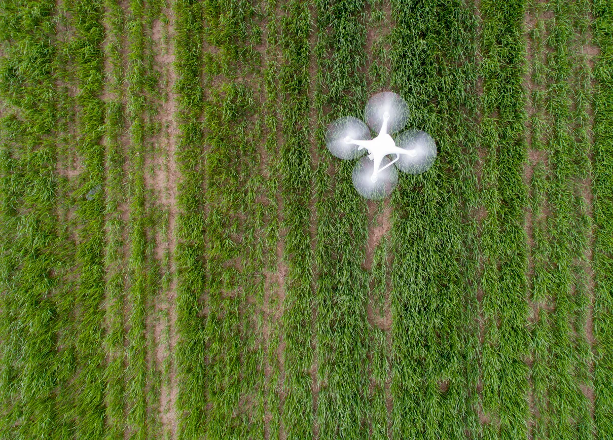
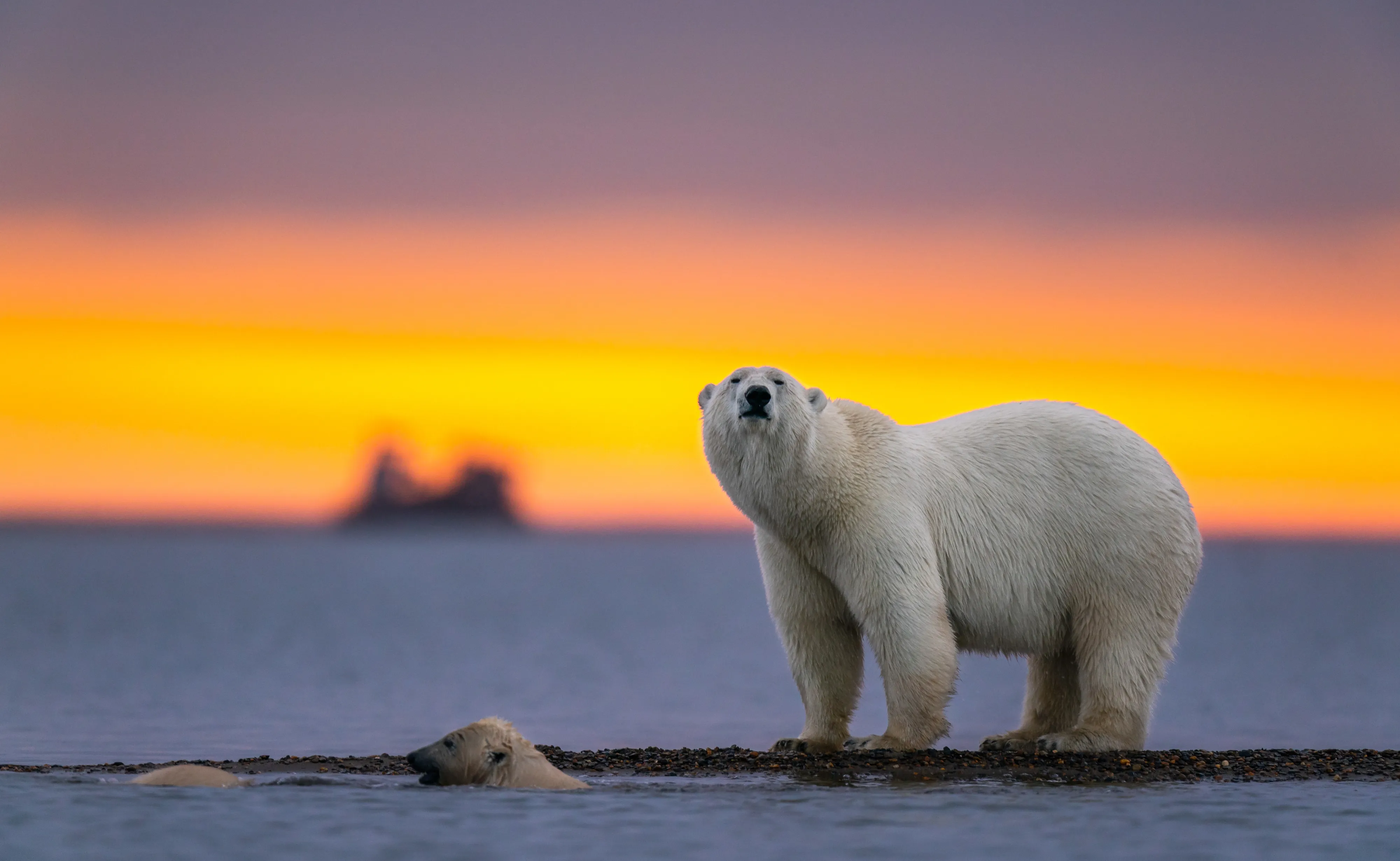
In the upcoming research season, the student expedition corps “Team Arctic” plans to use AI to analyze samples and drone images collected in protected zones of the White and Barents Seas. The system has already been tested in several Russian nature reserves, where it has proven effective in counting rare animal species.
By uncovering hidden patterns in vast datasets, artificial intelligence is transforming the way scientists study the Arctic — turning slow, manual observation into a data-driven, real-time understanding of one of the planet’s most fragile environments.