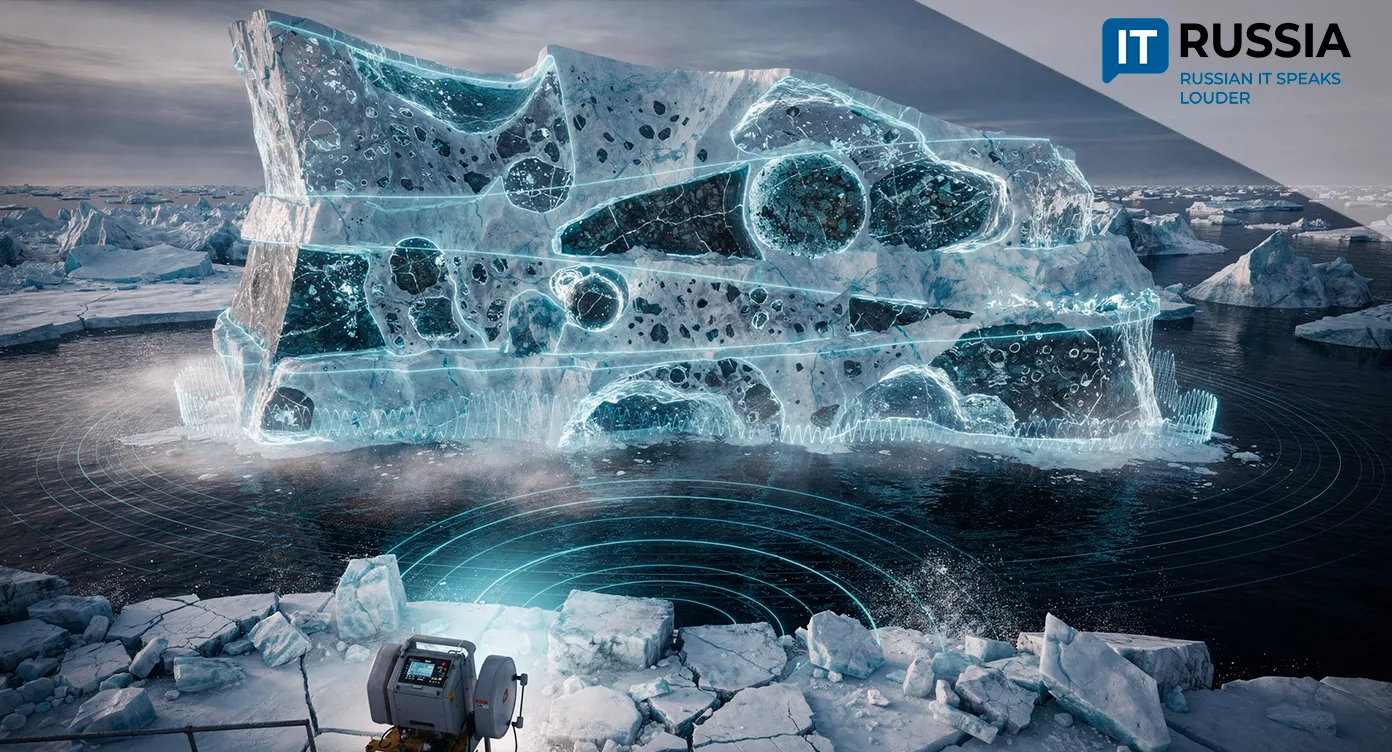
Ultrasound That Can Read Ice Like a Book: A New Way to Analyze Arctic Pressure Ridges
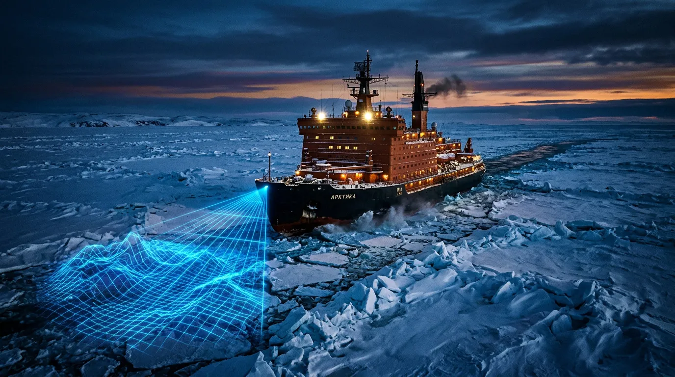
Researchers at MIPT have developed a computer-based ultrasonic method for studying Arctic pressure ridges – massive ice formations that pose risks to ships, offshore platforms, and subsea infrastructure.
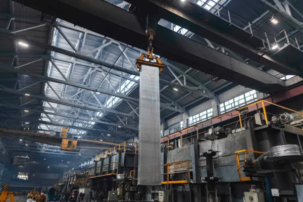
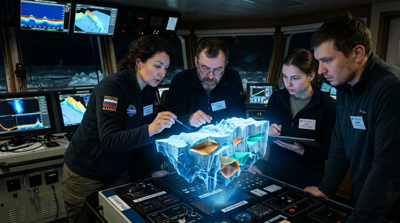
The Arctic is rapidly ceasing to be a zone of intuitive navigation. Today, the safety of the Northern Sea Route increasingly depends on precise data and digital models. Researchers at MIPT have introduced a method that could reshape ice reconnaissance. Supported by the Russian Science Foundation, the team developed a computer-based ultrasonic approach for studying Arctic pressure ridges – ice formations that threaten vessels and underwater infrastructure. The study, published in the journal Mathematical Models and Computer Simulations, marks a shift from empirical estimation toward a new generation of computational geophysics.
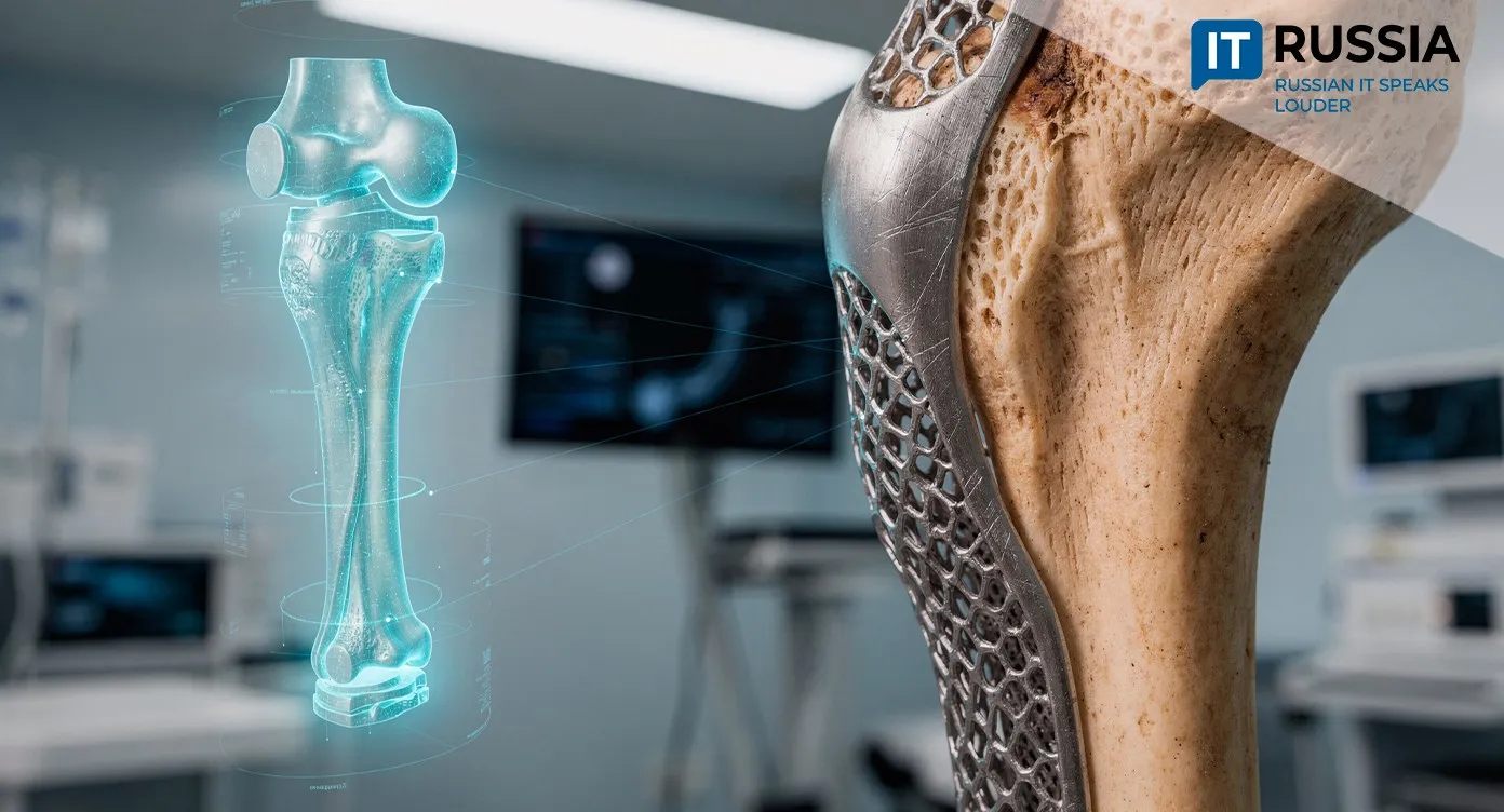
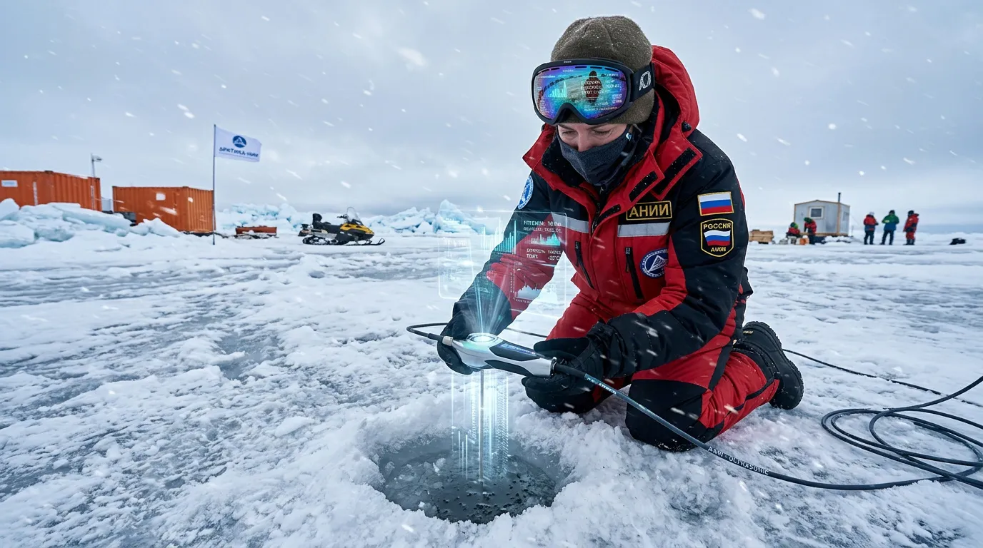
One of the method’s key advantages is its ability to distinguish, based on wave-response analysis, what fills internal cavities: gas, liquid, or solid material. That opens the door to broader applications in non-destructive testing. Potential use cases range from inspection of composite materials in aviation to medical diagnostics, modeling damage in bone structures, and geotechnical assessment of permafrost conditions.
The Mathematics of Complex Environments
A pressure ridge is a chaotic structure composed of layered ice, pockets of water and air, and bottom sediments. To “see” these formations remotely, MIPT specialists used a grid-characteristic method alongside chimera grids. Together, they make it possible to accurately model how acoustic waves propagate through geometrically complex objects. By analyzing reflected signals, the algorithm identifies hidden cavities and determines what they contain. For now, the work remains a computational experiment, but it lays the groundwork for generating training datasets and building digital twins of Arctic ice structures.
Why Russia Needs Arctic Engineering Software
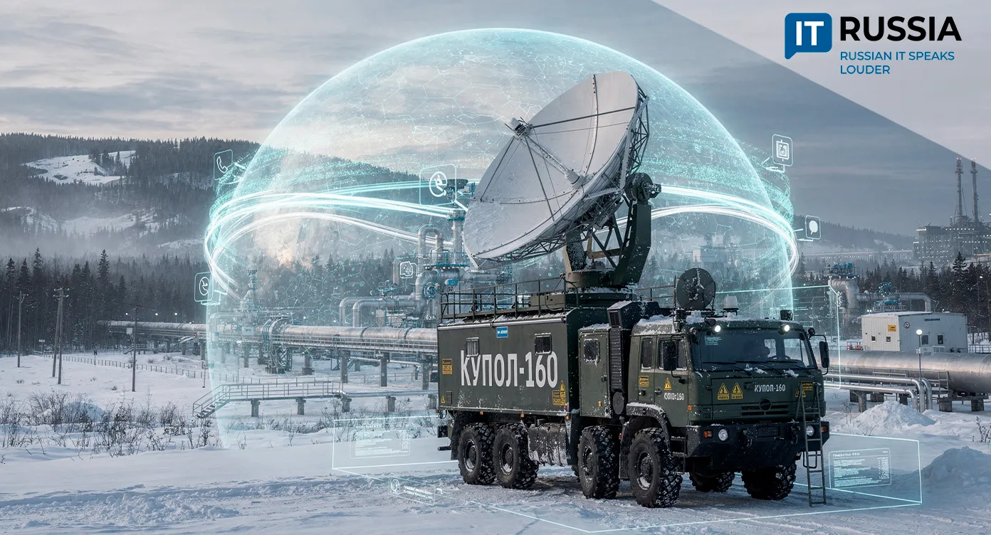
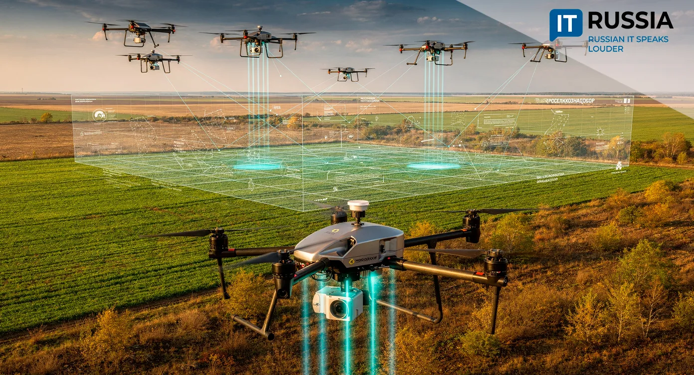
The development matters not only for academic science. Cargo traffic along the Northern Sea Route reached 37.9 million tons in 2024, while 2025 saw the launch of a Unified Platform of Digital Services for Arctic logistics. At the same time, Russia introduced GOST R 72039-2025, a new standard governing ice-condition forecasting. As activity along the route grows, the cost of navigational mistakes rises with it. Ultrasonic modeling will not replace satellites, but it could provide something satellites cannot: information about the internal structure of ice formations. For Russia’s IT sector, the project illustrates the emergence of advanced engineering software at the intersection of computational mathematics, signal processing, and machine learning. In the future, digital twins generated by such systems could be used to train neural networks capable of warning crews about dangerous ice conditions.
Global Applications Beyond Arctic Shipping
The technology is not yet ready for mass deployment. It still requires field testing, compensation for ship-generated noise, and adaptation to rapidly changing ice conditions which, according to the Arctic and Antarctic Research Institute (AARI), are becoming less predictable despite overall global warming trends. Even so, the technology’s potential extends well beyond navigation. The method could be adapted for monitoring aviation composites, evaluating permafrost stability, and supporting climate-monitoring systems. Its export potential lies not in physical hardware, but in software models and analytical services designed for polar regions. One particularly promising direction is Russian-Chinese cooperation along the Northern Sea Route, where joint logistics projects may eventually require shared digital-safety standards.
When Will the Technology Reach Open Waters?
For ordinary citizens, the technology could improve transportation safety and reduce environmental risks in northern regions where logistics depend heavily on maritime navigation. For Russia, it represents another step toward technological independence in Arctic infrastructure. Experts predict that the next two to three years will focus on collecting real-world data, calibrating the models, and identifying industrial partners. If trials confirm the system’s effectiveness, the method could eventually become part of integrated Arctic monitoring platforms. The Arctic demands not only courage, but precise computation as well. And Russian researchers are already writing a new digital code for navigating it.