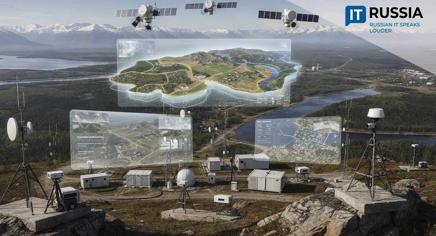
Russian Scientists Turn Satellite Images Into Intelligent Maps
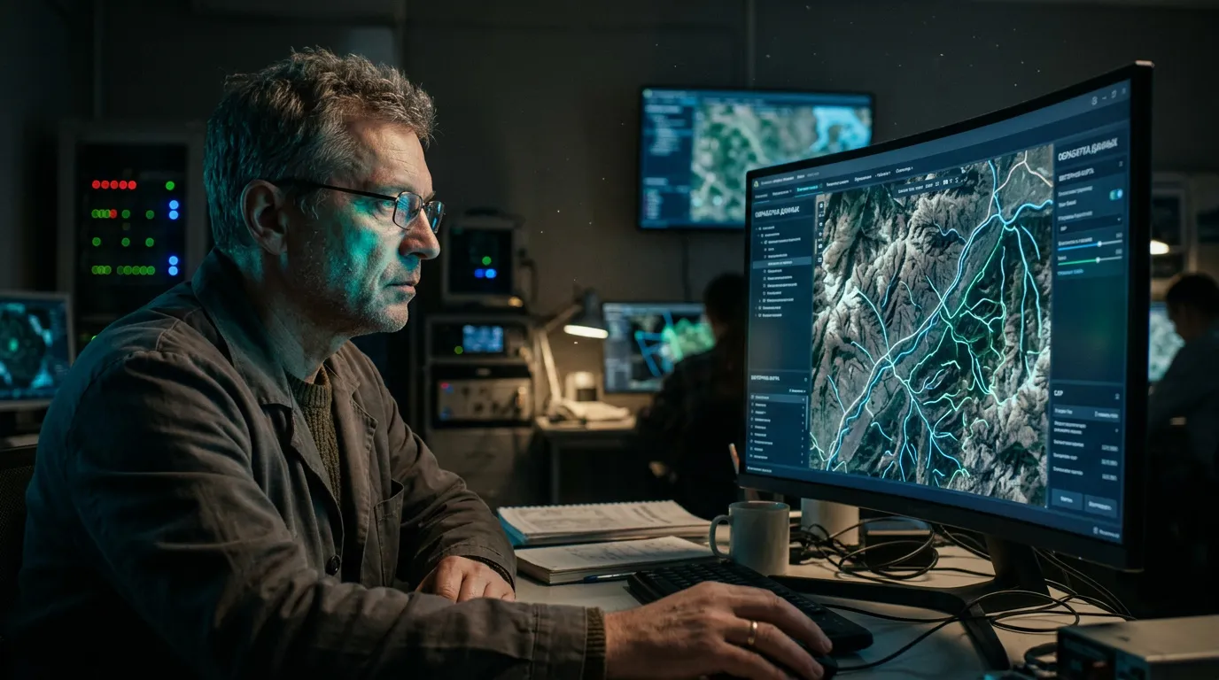
Researchers at Nizhny Novgorod State University of Architecture and Civil Engineering have developed a software platform that can automatically identify virtually any object in satellite imagery and convert it into vector graphics, working faster and more accurately than a human operator.
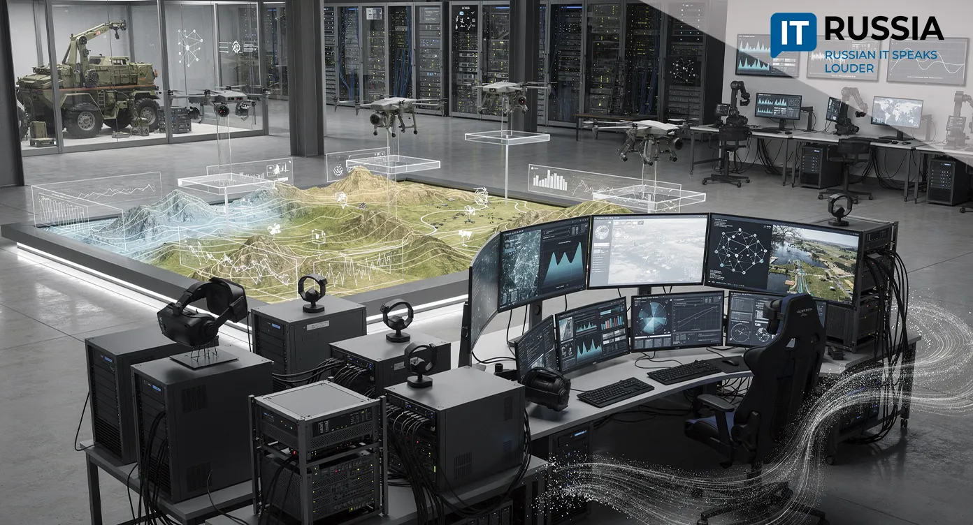
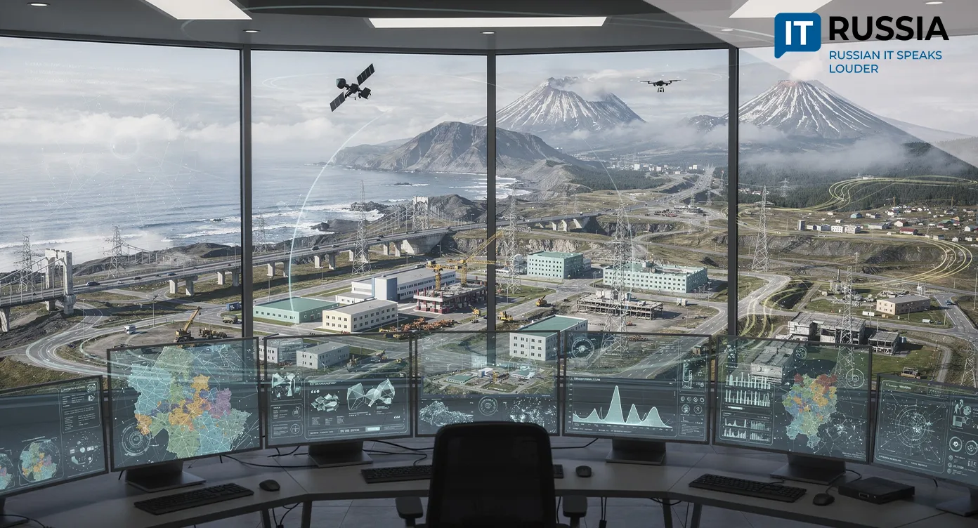
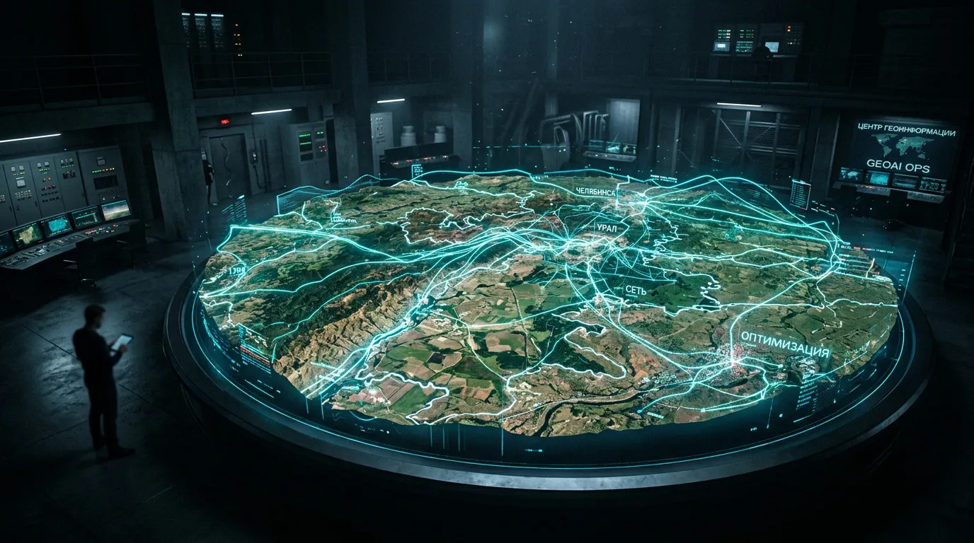
In an era when Earth observation data is growing at an exponential rate, the ability to process that information quickly and accurately has become a matter not only of economic efficiency but also of national security. That is where Russian researchers are helping push the technological frontier of geoanalytics. They confirm that domestic science is not merely keeping pace with global trends but is also establishing its own standards for geospatial data quality and analysis.
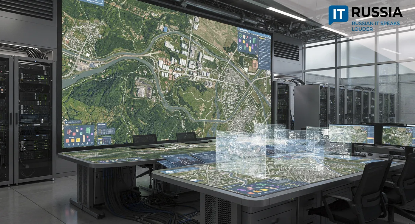
A compelling example is RTAlgo, a software platform developed by researchers at Nizhny Novgorod State University of Architecture and Civil Engineering (NNGASU). The system is quietly reshaping the field of geoanalytics.
From Pixels to Precise Boundaries: The Mechanics of RTAlgo
RTAlgo does more than simply detect objects in satellite imagery. The platform automatically converts them into vector graphics. Its neural network analyzes images using an object-versus-non-object classification approach and then applies advanced tracing techniques based on Bézier curves.
The result is striking. A coarse raster image composed of pixels is transformed into clean, mathematically precise contours and lines that are immediately ready for import into geographic information systems (GIS). The technology represents a significant advance in GeoAI, eliminating the labor-intensive, time-consuming, and error-prone process of manually tracing objects.
A Foundation for Technological Sovereignty
The importance of this development extends beyond technical performance. In today's geopolitical environment, having secure domestic tools for processing geospatial data has become a strategic priority. RTAlgo aligns closely with Russia's NSPD (National Spatial Data System), a federal program approved by the Russian government.
By developing indigenous geospatial tools, Russian researchers are reducing dependence on foreign GIS platforms. That helps strengthen information security and the independence of Russia's digital infrastructure by enabling large datasets to be processed within domestic systems, without the risk of sensitive information being transferred abroad.
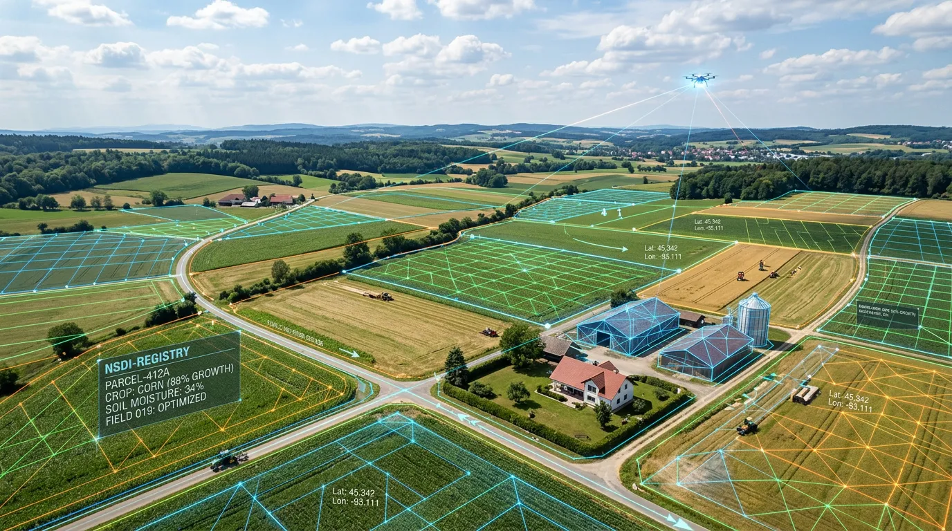
From Land Records to Forestry: Practical Benefits
Government agencies stand to benefit first from the deployment of the new platform. One of RTAlgo's distinguishing features is its ability to work with multichannel raster imagery. Equally important, the software includes a built-in metrics system that evaluates recognition accuracy automatically, addressing one of the most persistent challenges associated with neural networks - the 'black box' problem. That capability opens the door to a wide range of applications.
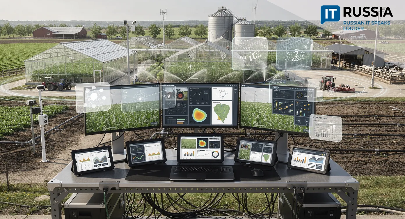
Land-registry and property-monitoring agencies could use the platform to identify changes in land parcels almost instantly, detect unauthorized construction, and accelerate map updates. Agricultural and forestry enterprises could conduct more precise monitoring of crops, soil conditions, and forest resources. In sectors where the cost of mistakes can be substantial, RTAlgo's built-in accuracy validation could become an essential tool. Professionals working in urban planning, transportation, and public-utilities management could speed up the design and monitoring of road networks, power transmission lines, and pipelines. Taken together, these capabilities could provide citizens with more transparent cadastral services, better protection of natural resources, and more systematic urban development.
Looking Ahead
A review of recent years shows how steadily Russia has been building its geospatial analytics ecosystem, from the introduction of AI into Roscosmos's Tsifrovaya Zemlya (Digital Earth) platform to the emergence of the country's first commercial vectorization tools. The NNGASU development represents a logical next step in that evolution.
RTAlgo's primary opportunity lies in its transition from an academic research project to a practical tool for government agencies, regional authorities, and businesses. Export prospects are also tangible. Many partner countries need affordable, accurate, and sovereign solutions for territory monitoring. Russian researchers have already laid the groundwork for technologies that could find demand in the global markets for urban analytics and environmental monitoring.
The Nizhny Novgorod team's development is not a laboratory concept but a functioning tool that could soon make the management of Russia's vast territory smarter, faster, and more precise. Once again, Russian science demonstrates that its researchers possess not only deep fundamental expertise but also a strong understanding of the country's practical needs.