Perm Scientists Create a High-Precision 3D Digital Model of the Bolshaya Mechkinskaya Cave
In Russia’s Perm region, researchers have taken another step toward developing speleotourism at the Bolshaya Mechkinskaya Cave, a protected natural site. Using integrated laser scanning of the underground cavity, specialists created a highly accurate three-dimensional digital model of the cave.
In 2008 the Bolshaya Mechkinskaya Cave, covering about six hectares, received the status of a specially protected natural territory. In October 2025 the Directorate of Specially Protected Natural Areas of Perm Krai obtained the license to manage the site. According to the regional Strategy for the Development of Protected Natural Areas through 2036, the cave is listed among the promising locations for speleotourism. Authorities plan to equip the site so that organized tourist groups can visit it safely.
Unique Natural Site
Bolshaya Mechkinskaya Cave lies on the left bank of the Mechka River, about 20 kilometers north of the city of Kungur and roughly two kilometers from the nearest villages, Zaspalovo and Rodionovo. The entrance sits at the base of a steep slope in the Kamenny ravine, about 0.15 kilometers from its mouth, and takes the form of a vertical collapse shaft. A narrow opening at the bottom leads to the Bolshoy Grotto, a chamber approximately 90 meters long and seven meters high. The cave contains five large halls connected by passages that stretch roughly along a north–south axis. Their ceilings are either vaulted or flat. The distance between the northernmost and southernmost points reaches about 270 meters, and the total length of the cave passages exceeds 350 meters.
In winter the cave fills with ice crystals, stalactites, stalagmites and columns comparable in beauty to the formations in the famous Kungur Ice Cave. Near the entrance and inside the First Grotto visitors encounter numerous ice structures, ranging from crystalline formations to small stalagnates. At the center of the Bolshoy Grotto stands a striking ice column. It melts every summer and reforms each winter. The column rises to about five meters in height, with a base circumference of 5.4 meters. From its base to the ceiling the column gradually narrows, reaching a diameter of roughly one meter at human height.
Preparing Protected Natural Sites for Tourism
Officials estimate that the full cycle of site preparation will take between one and two years. After that, the Mechkinskaya Cave should be able to receive organized tourist groups and could become a strong alternative to the well-known Kungur Ice Cave.
Before tourism can begin, researchers must study the cave carefully and determine how it can support recreation, education and other activities without damaging the fragile natural environment. Only after these investigations are completed will specialists develop a detailed plan for infrastructure improvements.
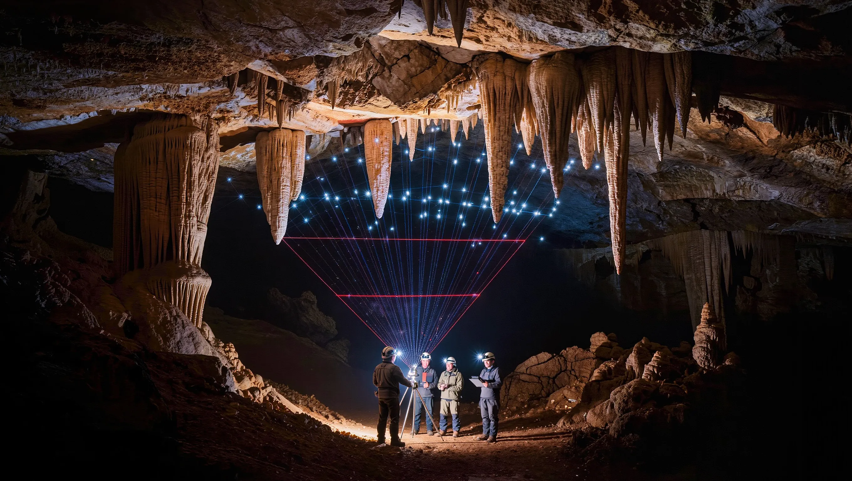
At present the natural monument remains difficult to explore. Without specific skills and specialized equipment it is extremely challenging to reach the Bolshoy Grotto, which measures about 90 meters in length and seven meters in height.

Reliable Spatial Data as the Basis of a Digital Model
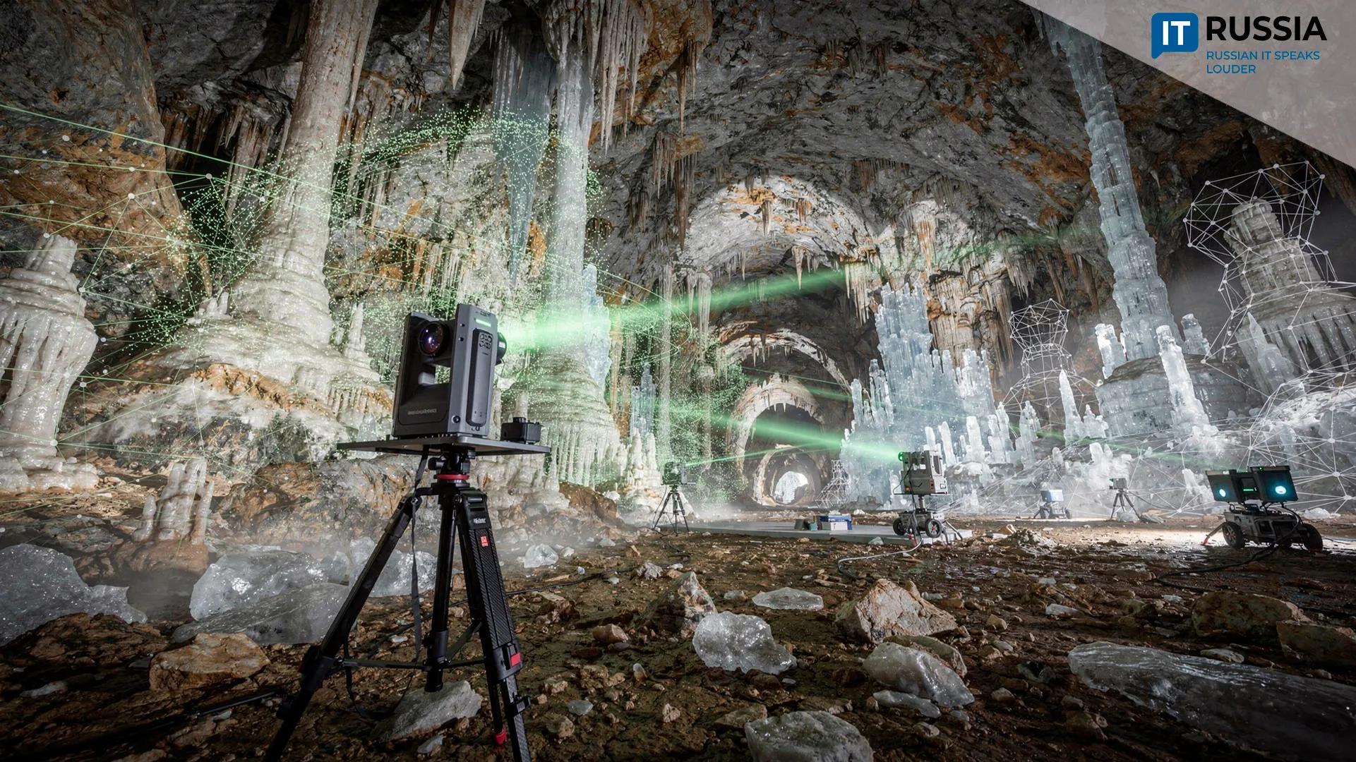
Accurate spatial data are essential for studying the cave. As a result, the regional Ministry of Natural Resources, the Perm speleological community and the engineering company NIPPPD Nedra organized a large-scale laser scanning project. Nedra, founded in 1992 and specializing in engineering surveys and infrastructure design, is actively expanding its work with TIM – Tekhnologii informatsionnogo modelirovaniya (information modeling technologies).
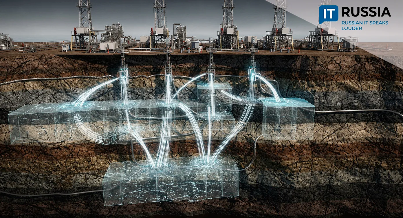
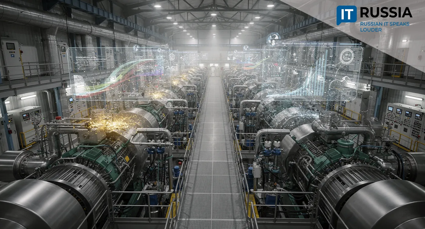
The digital modeling process relied on lidar surveying, a technology widely used to build digital twins in construction. Lidar instruments generate a virtual three-dimensional model of a future or existing structure by capturing its core parameters, including geometry, engineering systems, materials and even installation timelines.
For surface scanning the team used the high-precision Swiss Leica ScanStation P30 system. The instrument produced dense “point clouds,” large arrays of spatial coordinates that define the geometry of each underground chamber.
To examine difficult areas, the researchers brought in specialists from EFT GROUP, who used mobile scanners equipped with SLAM technology. Such scanners determine their position in space in real time while simultaneously mapping the surrounding environment. This capability allows researchers to scan narrow and complex passages and complement stationary laser scanning data.
The result was a detailed three-dimensional digital model of the cave’s underground structure and a precise projection of the entire object onto the Earth’s surface.
Experience of Russian Researchers
Similar work took place in 2023 in the caves of the Uspensky Pskovo-Pechersky Monastery. Using advanced technologies, Russian researchers discovered numerous underground corridors, large crypts and vaulted spaces that had not previously been mapped. The discovery became possible through the use of muonography, a technique that detects cosmic particle flows and uses the data to reconstruct three-dimensional images of underground structures.
The idea of using cosmic radiation to scan large objects in a way similar to X-rays was proposed as early as 1926 by Russian academician Petr Lazarev. However, muons – the particles needed for such studies – had not yet been discovered. The first muonography experiment appeared only in 1955, when scientists in Australia used it to measure the depth of a tunnel. Later, Nobel Prize–winning physicist Luis Alvarez applied muon detection in 1965 to study the Pyramid of Khafre in Egypt. Using a spark chamber detector, his team examined about ten percent of the pyramid’s volume and concluded that no hidden chambers existed within it.
The Future of Geoinformation Technologies
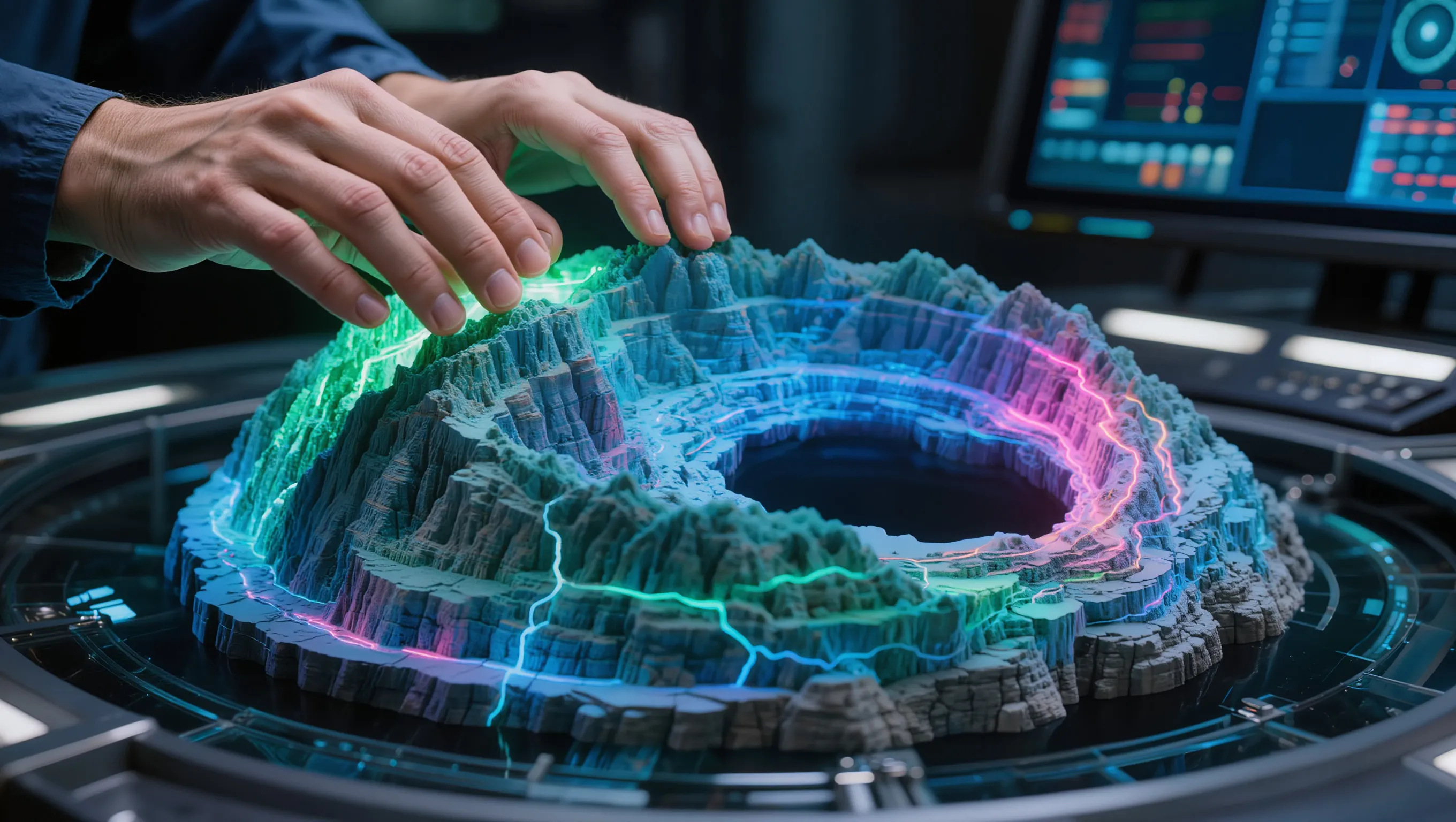
The creation of an accurate three-dimensional model of Bolshaya Mechkinskaya Cave illustrates how natural environments are increasingly being digitized with modern geoinformation technologies. In the near future researchers expect to expand the use of laser scanning and digital twins beyond industrial applications. The technologies could help digitize natural monuments, develop tourism sites and integrate geological research with advanced IT tools.
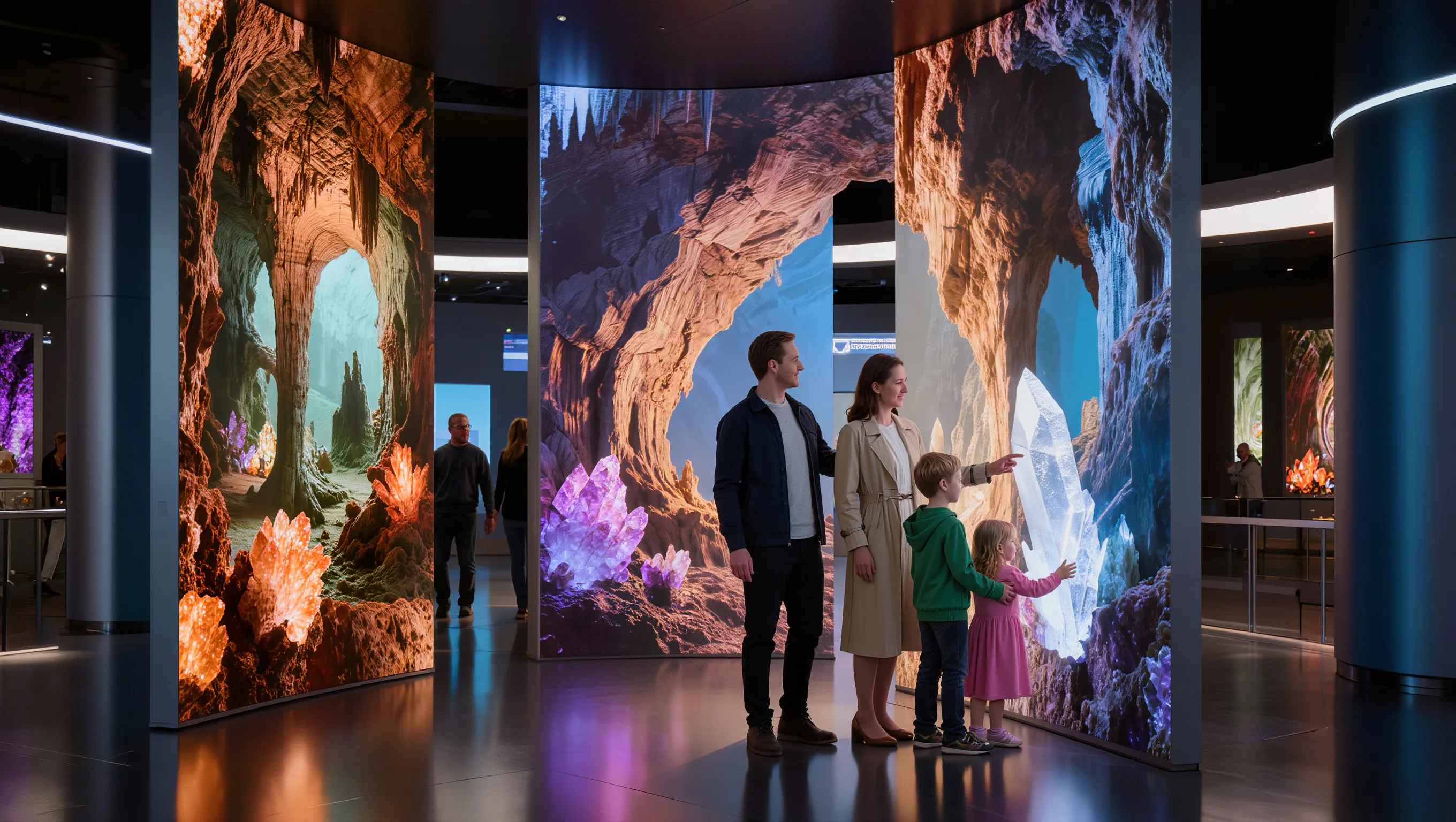
Domestic tourism in Russia has been growing rapidly for several years. One of the sector’s main priorities is improving the safety of tourist routes, developing new destinations and creating virtual tours. Another is enabling deeper scientific exploration of natural sites. Interactive digital models built with digital twin technology play a critical role in achieving these goals.
Environmental monitoring, digital archaeology and preservation of natural heritage are areas where precise three-dimensional modeling is already widely used.
Digital twins of natural landscapes can also improve forecasting of geological risks. They represent one of the safest ways to monitor caves, karst formations and mountain systems. Geological exploration worldwide is increasingly adopting these technologies, and Russian expertise in this area could hold significant export potential.