Satellites and Drones Bring Nearly 200,000 Hectares of Farmland Back Into Use in Samara Region
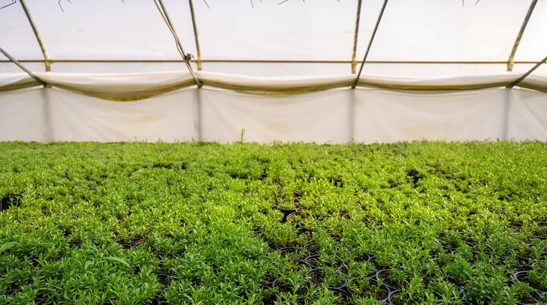
Satellite technology and unmanned aerial systems have helped Russia’s Samara region return 197,900 hectares of previously unused land to agricultural production.
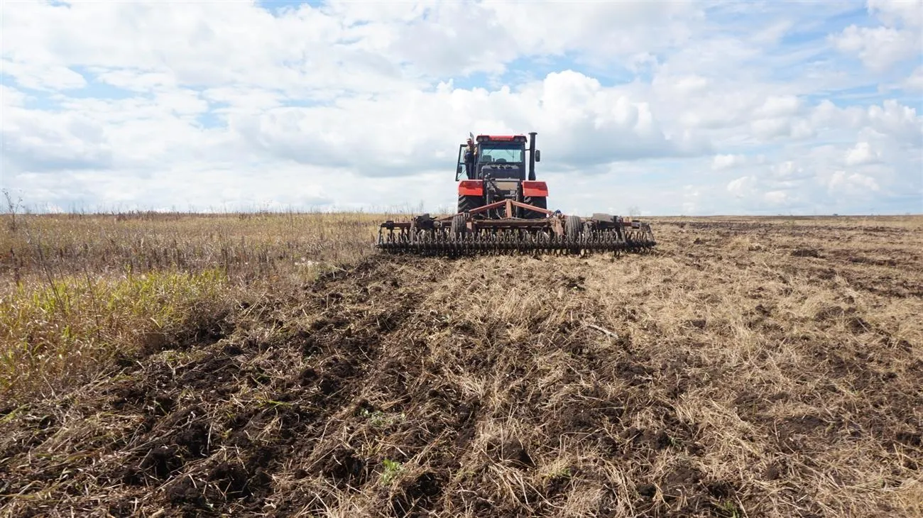
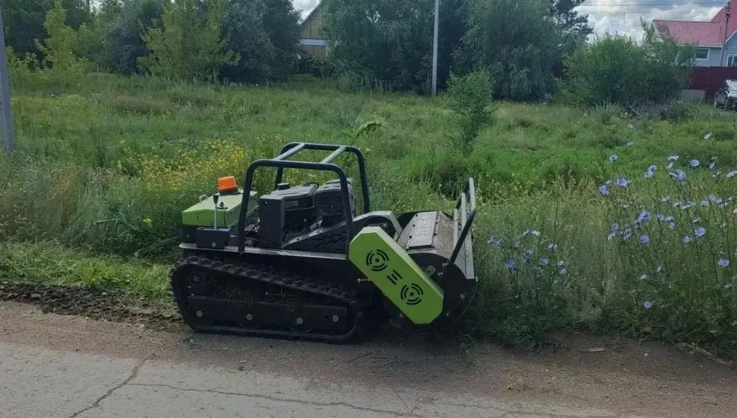
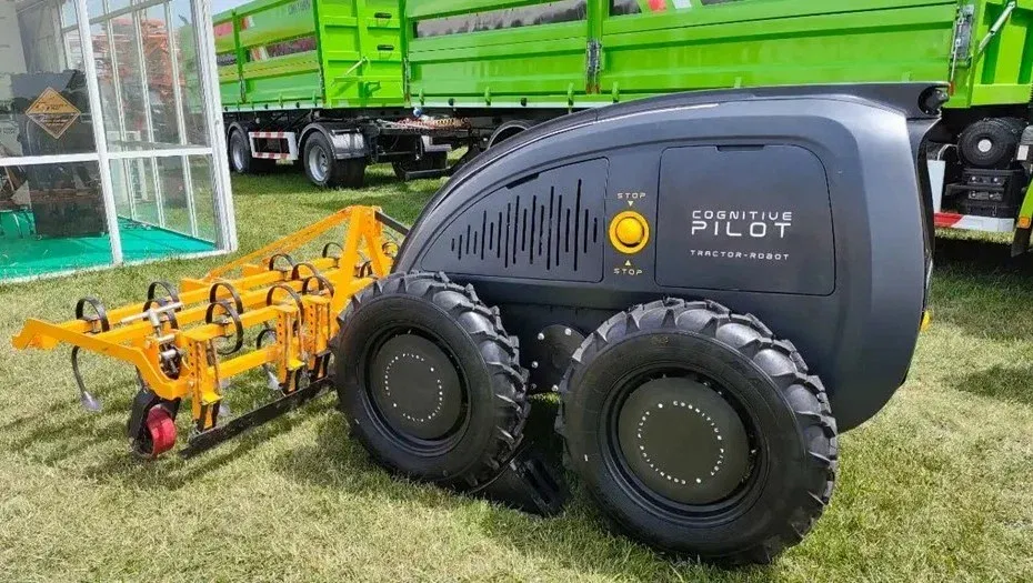
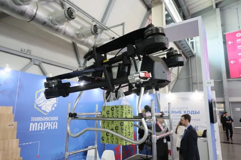
From 2024 to 2025, the area of farmland treated using drones increased twelvefold, from 22,000 to 265,000 hectares, according to the regional government’s press service.
The Samara region was among the first in Russia to introduce a regional agricultural GIS platform in 2009. Since 2019, it has operated an integrated remote monitoring system that combines satellite data, artificial intelligence, and field inspections. Modern satellites allow specialists to view each field in high detail, while GLONASS navigation ensures centimeter-level precision for machinery, reducing fuel and fertilizer use.
The system helps not only bring abandoned land back into use but also detect violations, including illegal quarrying, unauthorized land use, and weed infestations. Digital tools have become a key driver of efficiency gains and food security in the region.