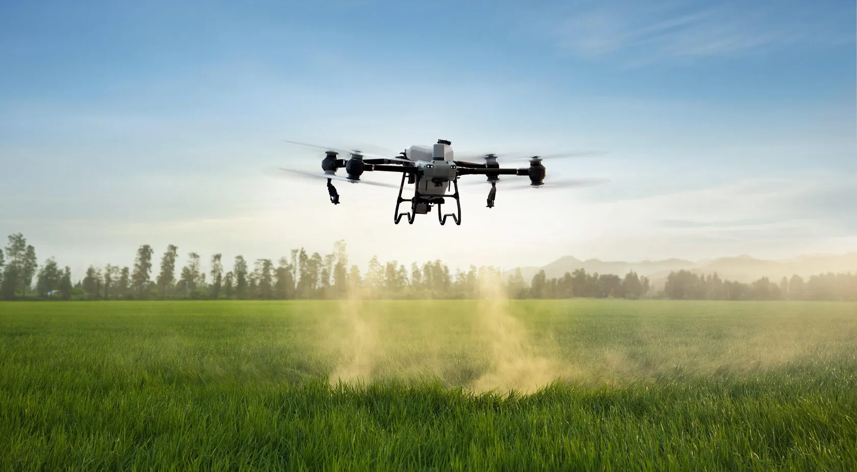
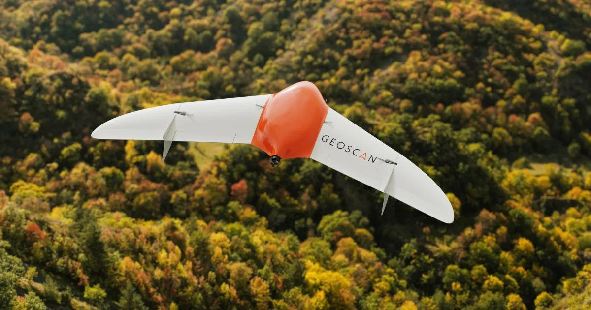
Geoscan to Train Forestry Specialists to Operate Drones and Process Aerial Imaging Data
Geoscan has launched a specialized professional training program in unmanned aviation systems for forestry sector employees.
The 40-hour course covers both drone piloting and the processing of aerial survey data. The program was officially approved by a specialized department at the Mytishchi branch of Bauman Moscow State Technical University, and all graduates will receive state-recognized professional development certificates.
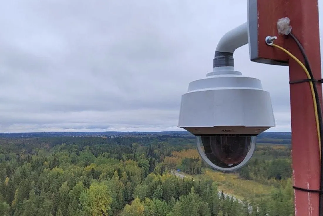
According to the company, the course is focused on “specific application scenarios and the needs of institutional customers,” in this case forest pathology monitoring. The first participants were specialists from Roslesozashchita, the federal agency responsible for monitoring forest health across Russia.
The full title of the program reflects its applied focus: participants are trained to operate fixed-wing drones with a maximum takeoff weight of up to 30 kilograms while taking into account the specific requirements of forestry operations. Geoscan said the pilot course for forestry specialists would become the first in a broader series of industry-specific programs designed for different customer groups.