Russian Researchers Teach AI to Measure Forest Carbon From Satellite Images
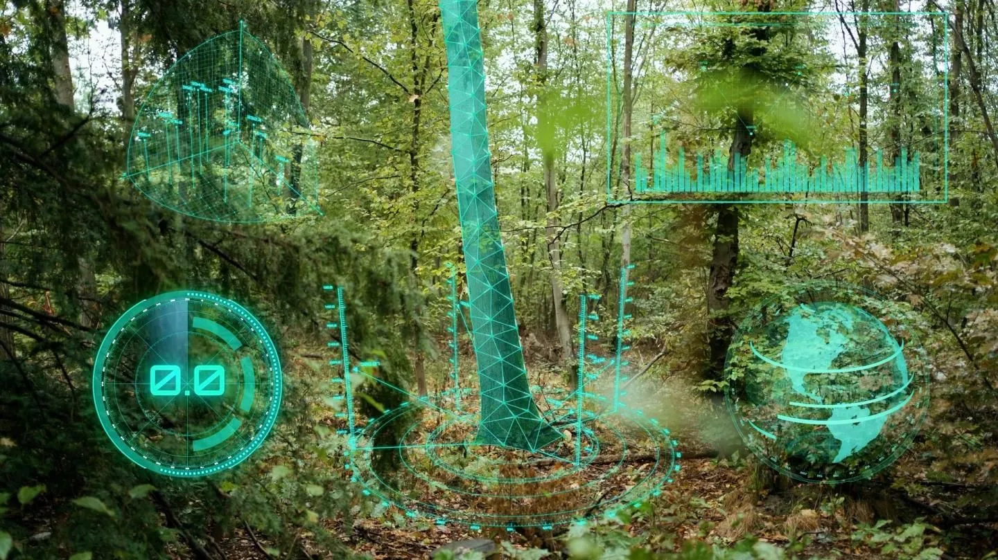
Researchers from Skoltech, Irkutsk National Research Technical University, and the AIRI Institute have developed a machine-learning algorithm that estimates carbon stocks in forests using satellite imagery. The study was published in Scientific Reports with support from a grant provided by the Russian Science Foundation.
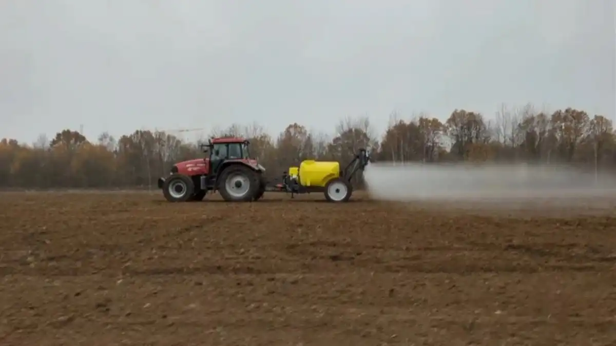
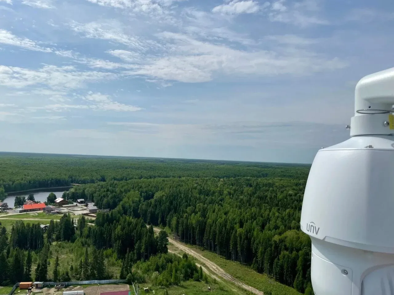
Forests absorb carbon dioxide and store carbon in living tree biomass, but under certain conditions they can also become a source of greenhouse gas emissions. Monitoring forest conditions across vast territories using traditional ground-based methods is extremely difficult, while existing satellite-data analysis models typically do not indicate how reliable their predictions are.
The new tool addresses that problem. Instead of producing a single estimate, the algorithm provides a range of possible values and explicitly reports its own level of uncertainty.
The algorithm was tested using satellite images of forests on Sakhalin Island. XGBoost delivered the strongest results, identifying tree species with 83% accuracy, estimating forest age with 70% accuracy, and assessing carbon stocks with reliability ranging from 53% to 63%. The researchers plan to extend the approach to other forest ecosystems in the future.