Digital Arctic: How Russian IT Solutions Are Shaping Sustainable Navigation
As global interest in Arctic trade and climate challenges grows, Russian technologies—from AI to satellite platforms—are helping to build safer, cleaner maritime routes in one of Earth’s most extreme environments.
Satellites Supporting Arctic Navigation
The Northern Sea Route (NSR) is quickly emerging as a viable alternative for cargo transit between Asia and Europe. In 2023, traffic along this corridor reached 36 million tons; by 2024, it had grown to nearly 37.9 million. This route, however, crosses the unforgiving Arctic Ocean, making navigation difficult and dangerous.
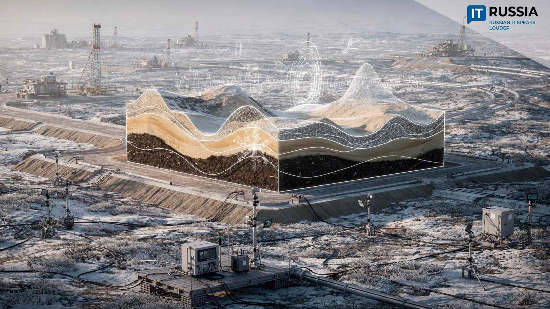
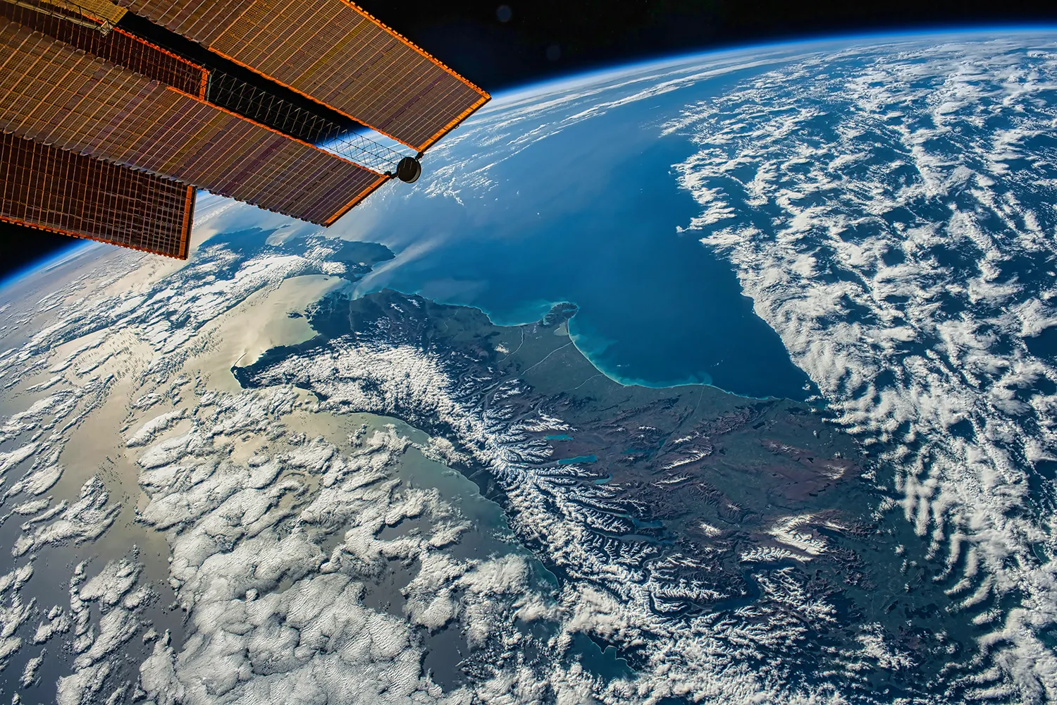
To address this, Russia is deploying cutting-edge satellites such as Arktika-M and Resurs-P, which are equipped with optical and infrared sensors. These instruments map sea ice, monitor its type and movement, and enable predictive route planning. Arktika-M is the world’s only Arctic satellite operating at an altitude of 40,000 kilometers—higher than even the GLONASS constellation.
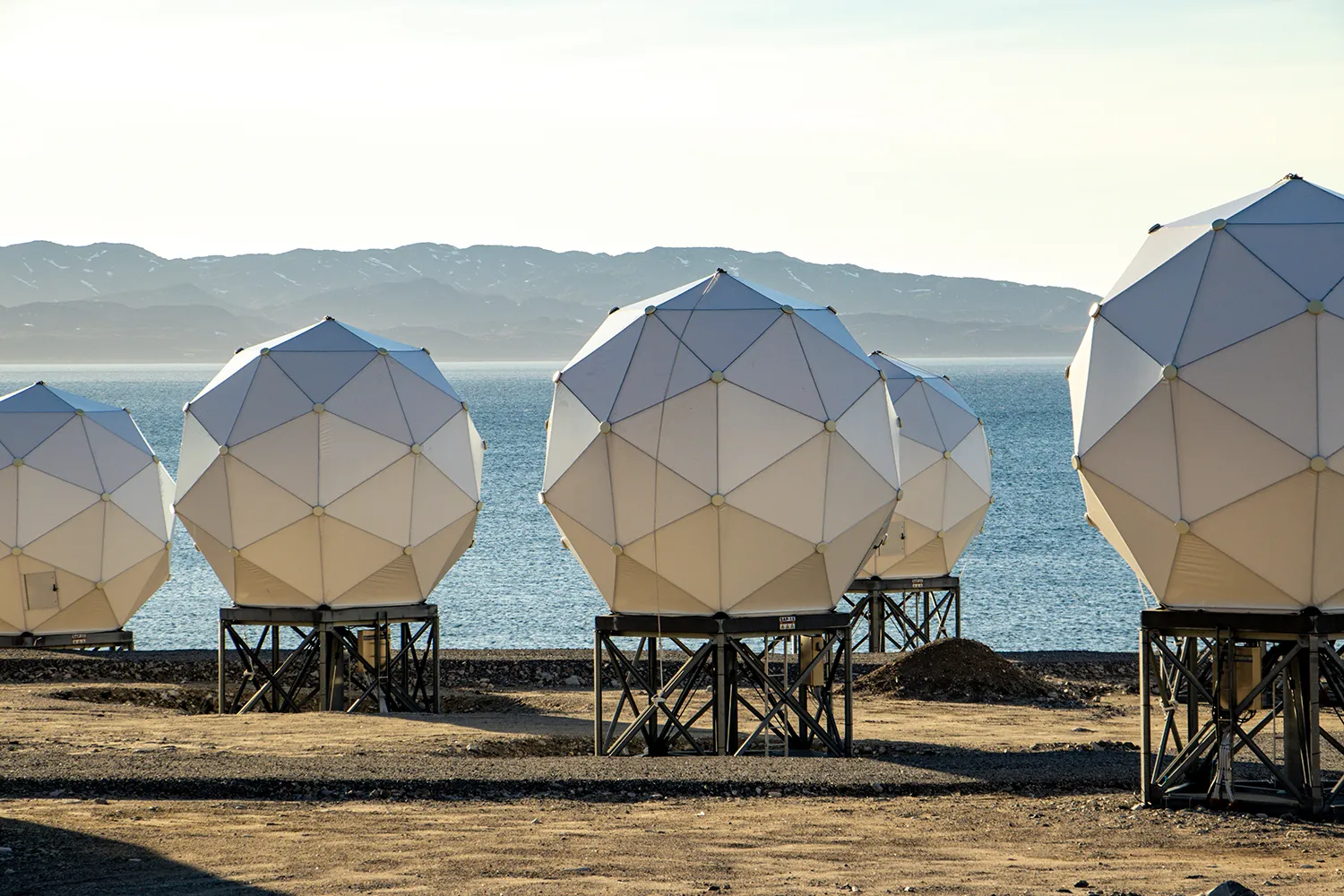
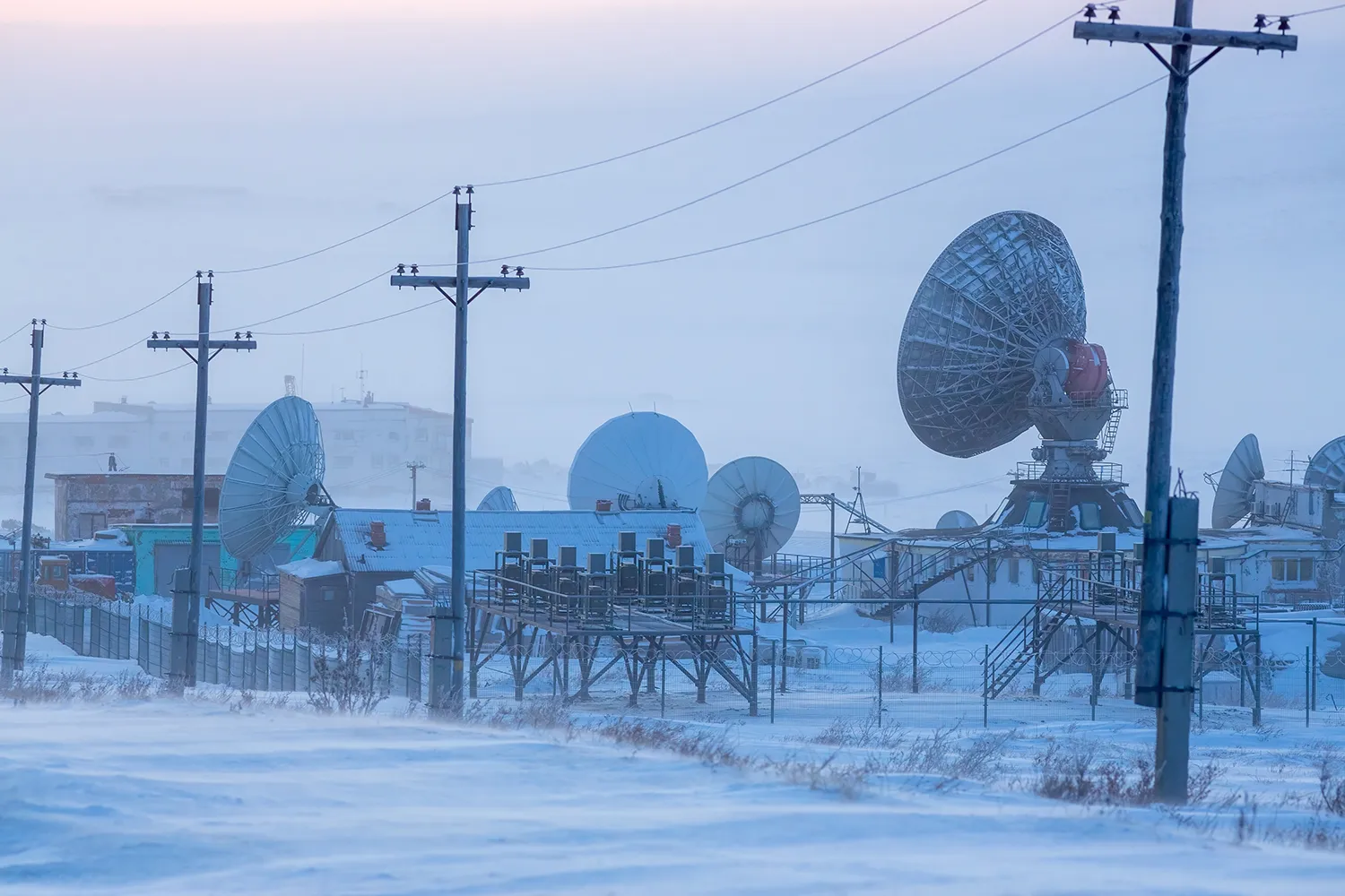
These systems are part of a broader infrastructure that includes radar and meteorological monitoring, as well as data from drones and drifting stations. The result is a complex but highly adaptive digital Arctic map, supporting more predictable and secure shipping.
Russia and China: Building the Ice Silk Road
China sees the NSR as a strategic alternative to existing shipping lanes, particularly in light of global geopolitical tensions. As part of its 'Ice Silk Road' initiative, China is investing heavily in Arctic infrastructure—and Russian technologies are central to this strategy.
Russia and China are now planning a joint satellite mission to enhance navigation and environmental observation across northern waters. These shared efforts underscore the region’s rising geopolitical and environmental relevance.
AI Platforms and Environmental Monitoring
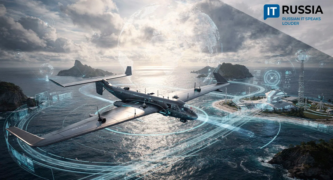
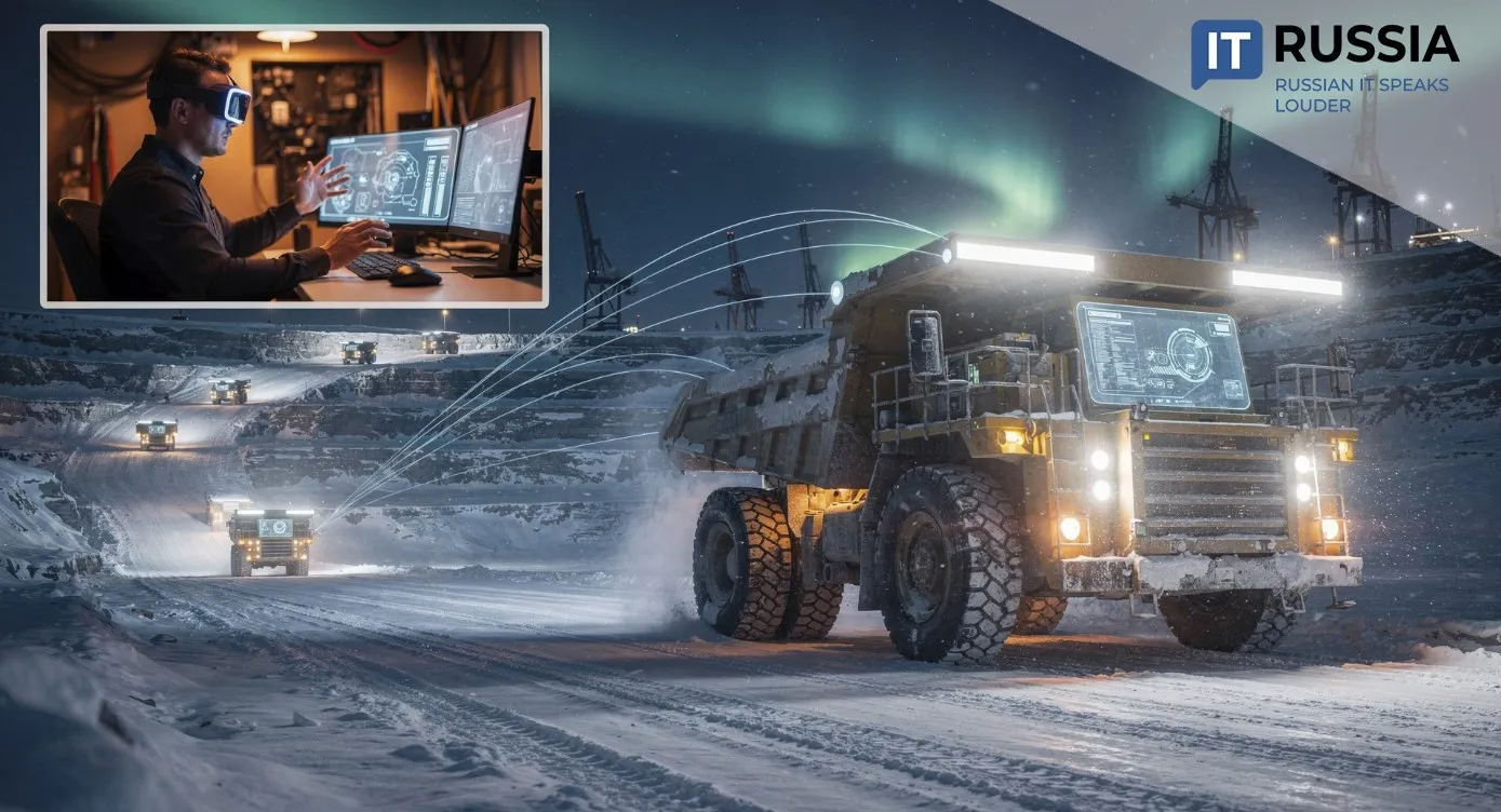
By 2035, Russia aims to deploy a full AI ecosystem along the NSR, with 34 digital services ranging from navigation to real-time environmental assessment. For example, an AI platform can now generate a full ship route across the Arctic in just 5 to 7 minutes—a task that used to take hours.
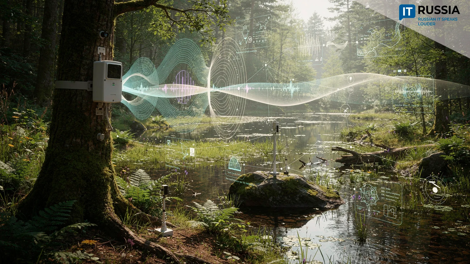
These tools are already in action: at the North Pole-41 drifting station, digital sensors and onboard servers transmit real-time data to global scientific networks. The same systems are being considered for adaptation in Canada and Norway.
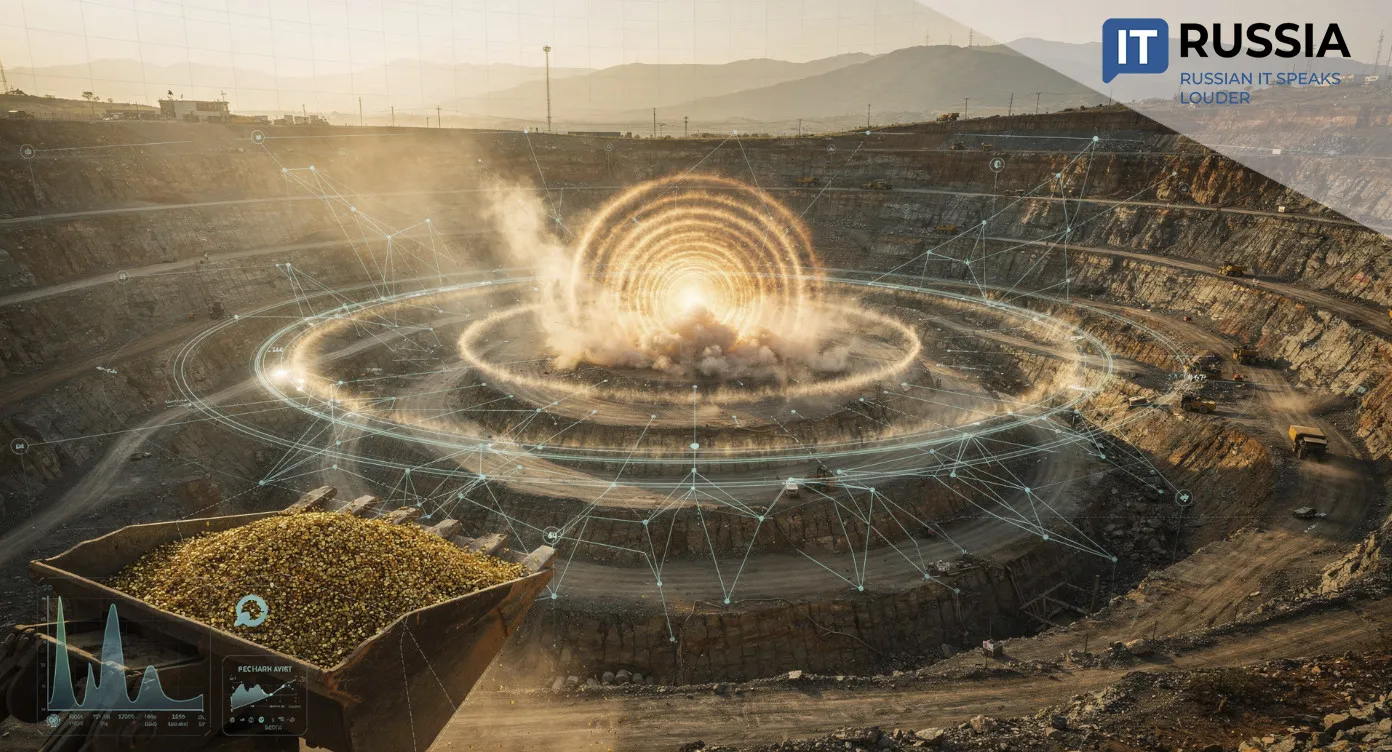
Of particular importance is Russia’s state-run ecological control platform, which not only tracks Arctic pollution but also predicts environmental risks. A new service powered by AI calculates CO2 emissions from NSR shipping, based on engine capacity, vessel routes, and weather data. This platform could prove vital for countries engaged in Arctic resource extraction, offering a practical model for balancing industrial activity with environmental responsibility.
The Global Relevance of Russia’s Arctic Tech
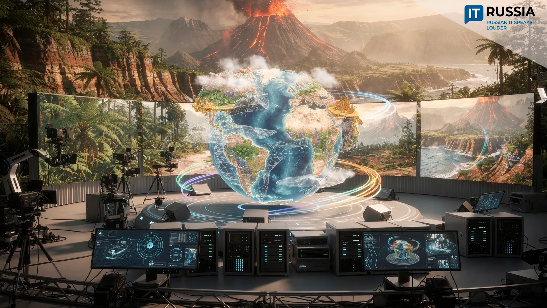
Russia’s Arctic IT platforms are more than tools for domestic development—they represent an emerging standard in ecological and logistical innovation. These technologies are helping researchers understand ice formation and melt cycles, assess their impact on marine ecosystems, and make the Arctic more accessible and sustainable.
In a world facing climate disruption and infrastructure challenges, Russia’s Arctic solutions may become a cornerstone of international cooperation in sustainable development.