Moscow to Give Its Underground Networks a Digital “Passport”
The world’s longest underground utility infrastructure is set to gain a digital twin that will be uploaded into the Collector Passport system.
Moscow has launched a project to create a digital twin of its underground utility infrastructure. The customer is Moskollektor, the operator of one of the longest underground engineering systems in the world.
A Project of Enormous Scale
The project involves the phased development of an automated system designed to bring together all data on underground collectors into a single digital model. The scale of the work is vast – and the task itself is critical.
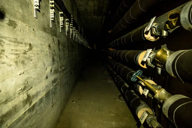
Moscow’s underground structures carry power cables, communications lines, district heating pipes, and water supply networks. Together, they ensure the normal functioning of the city and everyday life for its residents. The total length of Moscow’s collectors exceeds 800 kilometers. At present, information about them is stored across several disconnected subsystems.
An All-in-One System
The digital twin will consolidate this fragmented data into a single master system. At its core will be the Collector Passport subsystem. It will store information on underground construction facilities, their engineering equipment, and all installed utilities. This subsystem is intended to serve as the primary data source for all other digital modules. The technical specification states this explicitly:
“The Collector Passport subsystem is the central element of the information model, ensuring the clustering, classification, and systematization of the information it contains.”
Finding Assets on the Map
The visual layer of the digital twin will be GIS 2.0. Facilities will be displayed on a map, making it possible to quickly locate a specific section and see its condition in near real time. The system will be based on Moscow’s official cartographic database at a scale of 1:10,000. Data from the Collector Passport will be automatically shown on the map and linked to navigation tools and various schematic views.
Risk Monitoring
A dedicated module of the system will be responsible for monitoring risks and incidents. It is designed to collect information on fires, equipment failures, and other emergency situations. This should allow operators to assess conditions more quickly and make decisions faster in the event of an accident.
Phased Rollout
At the initial stage, the project will lay the foundation for the digital twin. Further development is planned, including scenario analysis, predictive analytics, and integration with other city digital platforms. Work on the current phase is scheduled to run through March 2027.
For the city’s utility sector, the project represents a step into the future. Data updates are expected to become faster, information retrieval simpler, and emergency response more efficient. Most importantly, all key data will be brought together in a single system.