Russia Plans AI-Powered Platform to Analyze Satellite Images
The System Will Detect Wildfires, Emergencies, and Illegal Deforestation in Real Time
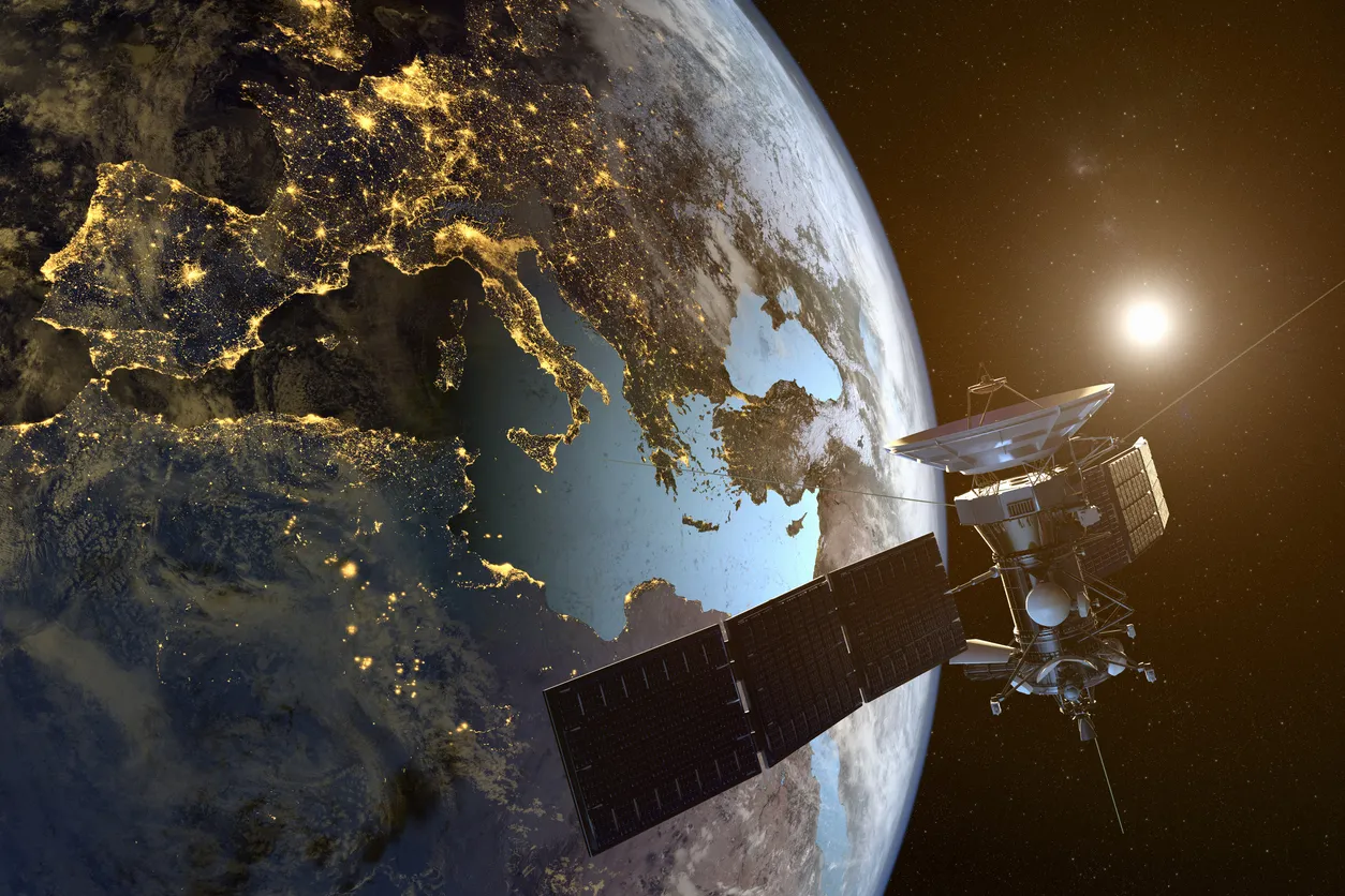
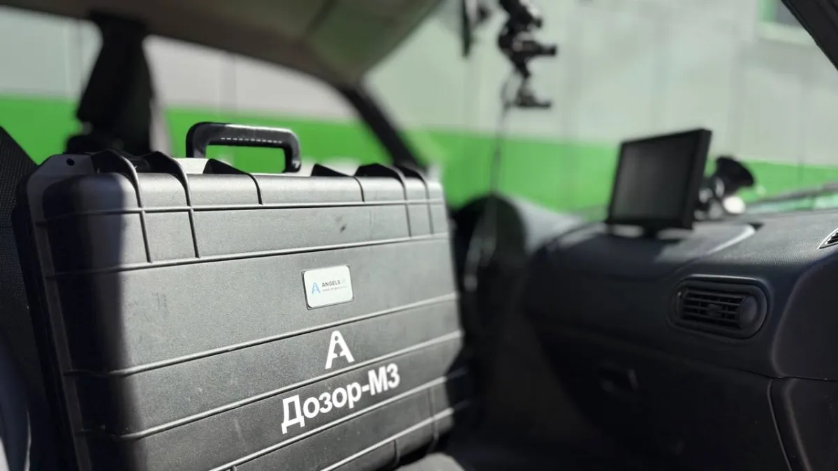
Russia’s Ministry of Digital Development and Roscosmos are developing a suite of AI-based services for analyzing satellite imagery of Earth. The initiative was announced by Maksut Shadayev, Russia’s Minister of Digital Development, at the Third International Caspian Digital Forum in Kaspiysk, Dagestan.
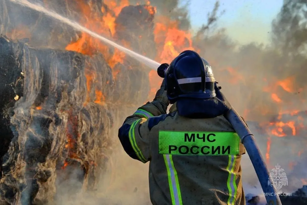
According to Shadayev, the upcoming digital platform will be deployed across Russian regions to detect wildfires, emergencies, illegal logging, and other incidents in real time. The system will combine satellite imagery with geotracking data from telecom operators to provide a unified layer of environmental and situational analytics.
Expanding Digital Tools for Environmental Protection
Earlier at the same forum, officials announced the launch of a pilot project to monitor the ecological state of the Caspian Sea. Data for the project will be collected from all countries bordering the sea.
To support this effort, MTS Web Services will create a digital twin of the Caspian Sea by the end of 2026 — a real-time model capable of tracking sea levels, predicting geological changes, and assessing the environmental impact of new infrastructure projects.
Together, these initiatives mark Russia’s broader strategy to integrate AI and satellite technologies into environmental management — creating digital ecosystems that can respond to natural and industrial challenges as they happen.