Russia Launches Open Satellite Imaging Platform for the World to Explore
A new free database of Earth images from Russian satellites gives scientists, students, and space enthusiasts global access to real orbital data.
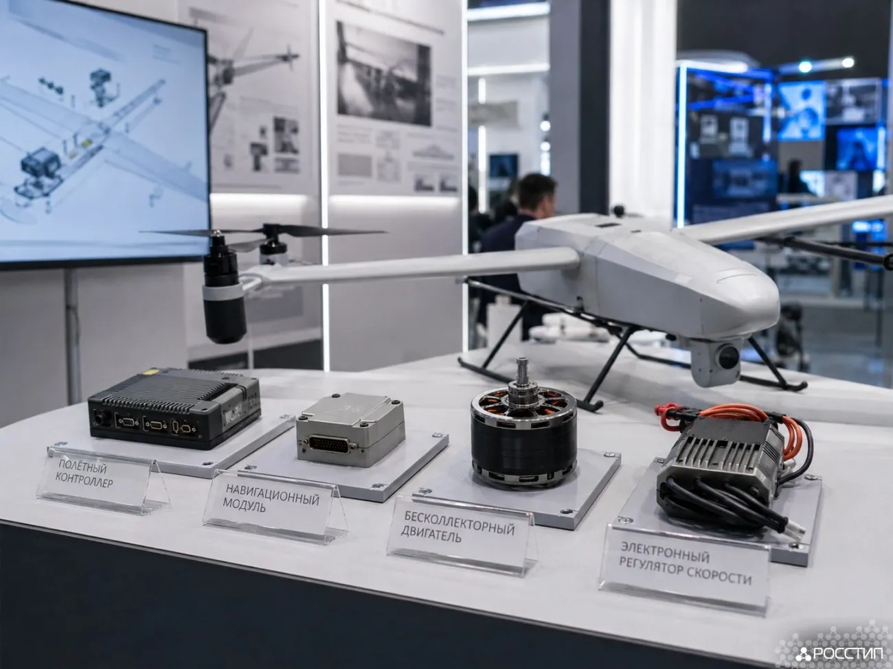
The Russian company SPUTNIX, a resident of the Skolkovo innovation hub, has launched an open-access online platform offering free satellite images of Earth. The images, captured by the company’s small CubeSat-class spacecraft, have a resolution of 200 meters per pixel and are continuously updated to reflect real-time changes on the planet’s surface.
The resource is available to anyone — from researchers to students to casual space enthusiasts — and supports both automatic data processing and manual editing in graphic software. Each image includes “.kml” metadata files, allowing users to overlay satellite photos onto interactive maps with precise geographic alignment.
Science for everyone
Users can study entire regions by downloading multiple images at once. According to SPUTNIX CEO, the goal of the project is to make space technologies more accessible and to inspire the next generation of scientists and engineers. The data can be freely used for educational and noncommercial projects, while research groups working in geoservices or remote sensing can request technical assistance directly from the company.
The initiative highlights how Russia is building a new ecosystem for space innovation and STEM education — one where the view from orbit is open to everyone, not just the professionals.