Russian Graduate Student Uses AI to Predict Floods
The Research Combines Satellite Imagery, Drone Data, and Machine Learning Algorithms
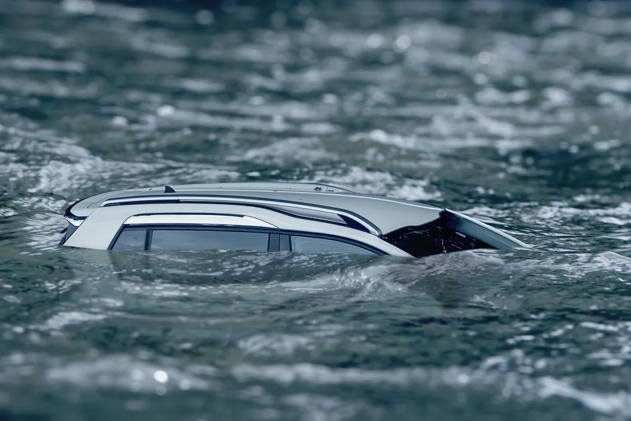
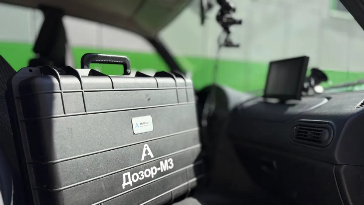
In Russia, Denis Kochev, a postgraduate researcher at Transbaikal State University, is developing an AI-powered system to identify flood-prone areas and issue early warnings to prevent large-scale damage. The project, the university reports, focuses on improving disaster prediction in the Transbaikal region, where floods are a recurring and destructive natural phenomenon.
Kochev’s research aims to use neural networks to detect patterns in environmental changes and predict when and where rivers might overflow. By issuing early alerts, the technology could help minimize the economic and environmental impact of flooding and protect vulnerable communities.
A Hybrid Data Analysis Method
The researcher’s approach combines satellite imagery, drone data, and machine learning models to track how landscapes evolve and pinpoint areas at risk of inundation. The neural network automatically identifies roads, buildings, and water bodies in the imagery, then highlights zones with potential flooding threats.
By merging the “orbital view” from satellites with the “bird’s-eye view” from drones, Kochev has created a hybrid analysis model that produces highly accurate flood maps. The resulting data reveals which regions are most at risk — a step toward smarter, AI-assisted environmental monitoring that could transform how Russia prepares for and mitigates natural disasters.