Agronomists Get a Modernized Digital Workspace
Russia’s KB Panorama has upgraded its Agronomist Workstation platform, ARM agronoma, improving the preparation of field maps and agrochemical datasets. The update highlights how geospatial technologies and data analytics are transforming modern agriculture and helping farms manage land resources with greater precision and efficiency.
Agriculture today is closely tied to the adoption of digital technologies. In 2019, the design bureau KB Panorama, which has been developing geographic information systems and geospatial technologies since 1991, introduced the first version of its ARM agronoma platform. Since then, the system has been regularly updated to make daily work easier for agricultural specialists.
Automating the Agronomist’s Workflow
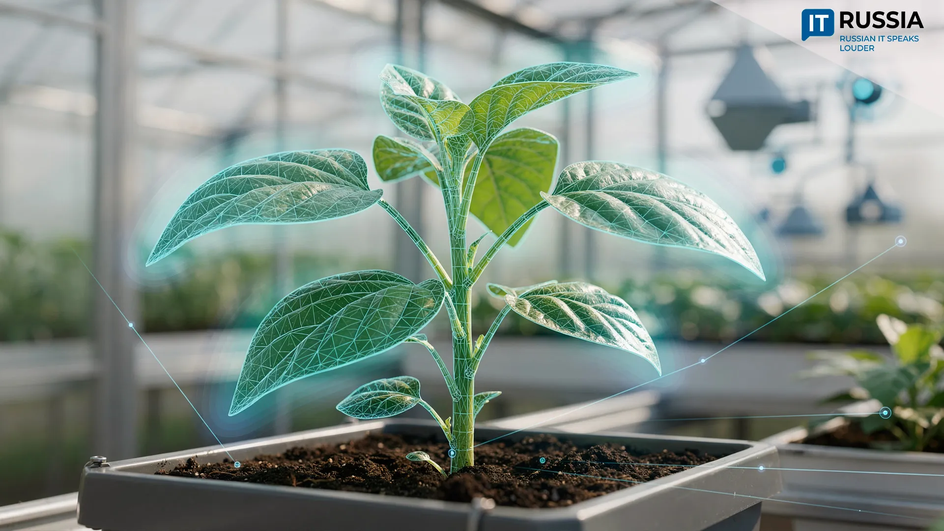
The ARM agronoma platform has become an important tool in the modern agricultural sector, helping automate key agronomic tasks and resource management processes. It allows farms to use land more efficiently by displaying maps of fields and crop yields, analyzing the spatial arrangement of agricultural land, identifying underutilized plots, and optimizing the land bank of agricultural enterprises. Within the same platform, agronomists automatically maintain crop production records. They can register data on sowing operations and harvested crops, as well as document the use of plant protection products and the application of fertilizers.
ARM agronoma not only automates daily operations but also simplifies the transfer of knowledge to new employees. All data on farmland and completed field operations are stored in a unified database, making information accessible across the organization.

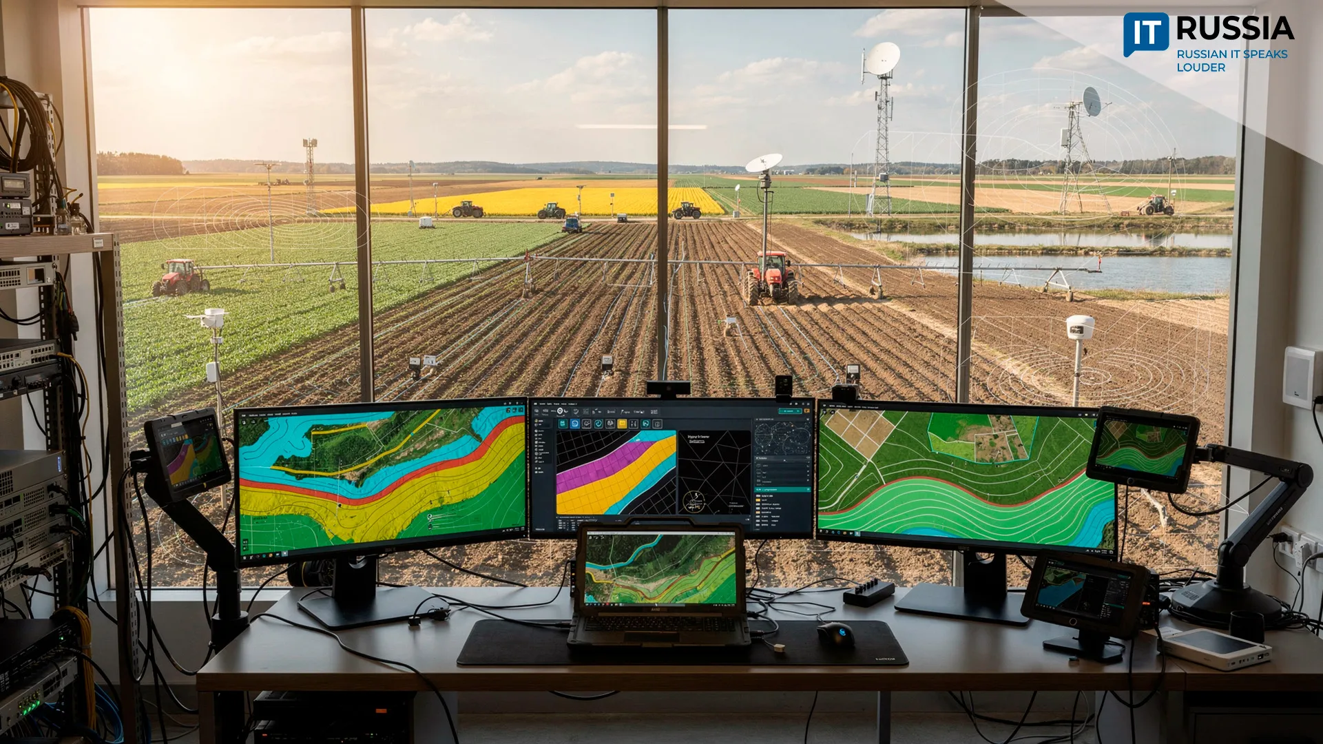
Faster Work With Maps and Agrochemical Data
The new version of ARM agronoma, 15.5.3, released in February 2026, streamlines the preparation of digital field maps and agrochemical datasets. Agronomists can now create drawings without performing additional calculations because the system offers expanded tools for generating and editing map objects.
When preparing diagrams and field plans, users can specify object lengths directly in millimeters on the map, reducing the number of manual calculations required. At the same time, the system automatically checks whether a loaded object matches the selected type in the classifier when spatial data are imported from external sources in Shapefile format. This prevents errors that would otherwise require later correction.

The mechanisms for importing and exporting data have also been redesigned. When loading tabular data from CSV, XYH, and TXT files, users can fine-tune the process by specifying the final row to be processed, excluding technical information that does not belong in the dataset. The system also strengthens data integrity controls and the logical connections between objects using GUID-type references. Users can indicate the presence of equipment on a field and create a detailed object record containing a full set of parameters. In addition, ARM agronoma supports information exchange with external software systems, including the satellite data service VEGA-PRO; enterprise management systems built on the 1C platform; address databases; and geographic information systems.
New Opportunities for the Agricultural Sector
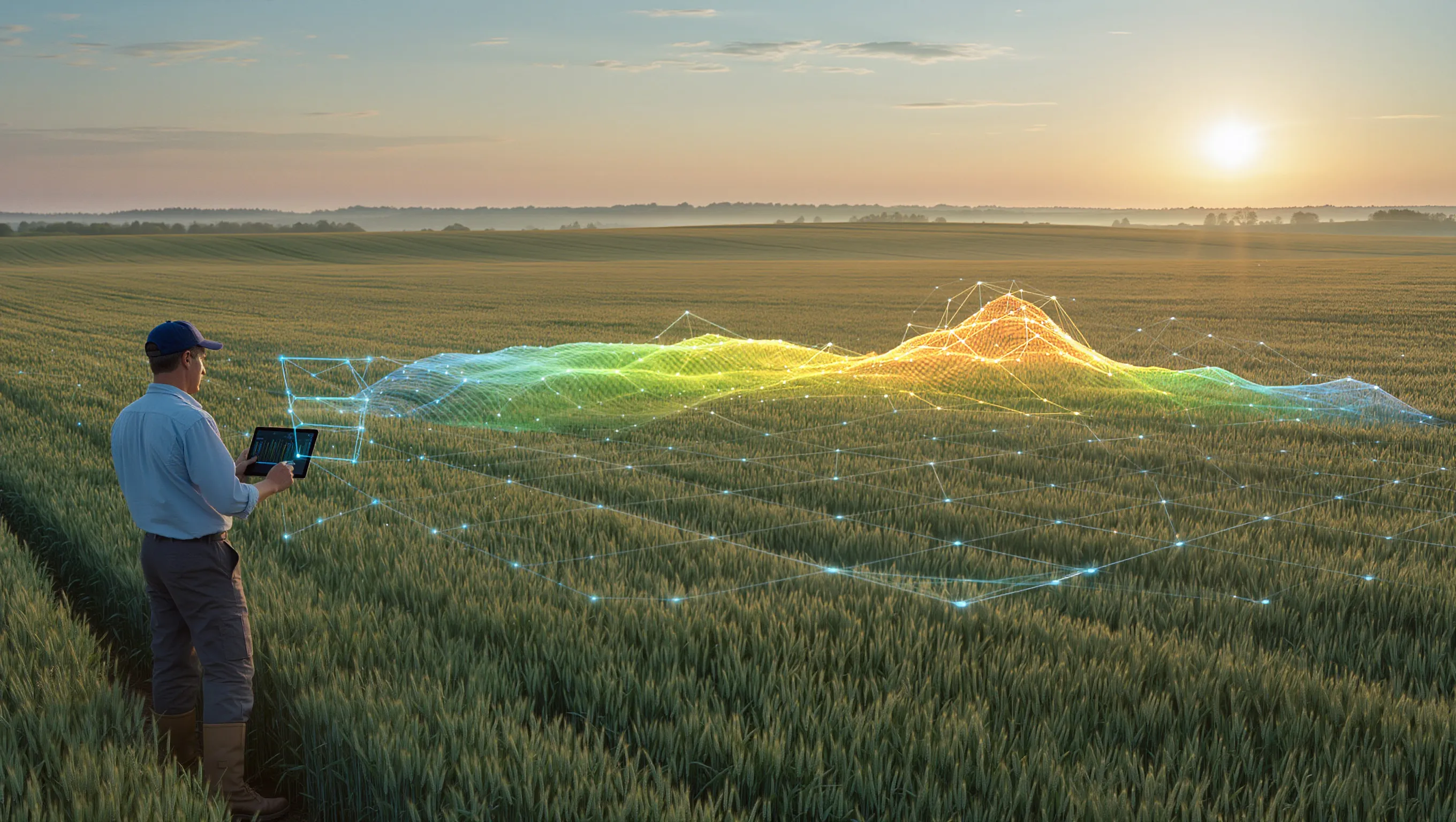
The updated version of ARM agronoma enables more effective work with maps and spatial datasets and allows them to be analyzed in greater detail. These capabilities help agricultural businesses manage crop production more efficiently and base operational decisions on reliable geospatial data.
“Analysis of long-term remote sensing data provides a wealth of agronomically valuable insights, including information about the current condition of soils, fertility levels, and the history of land use. Satellite imagery selected by neural networks is used as a basis for creating fertility maps. These maps are then used to generate task maps for agricultural machinery, defining fertilizer or seed application rates for each specific zone within a field,” said Alexey Trubnikov, CEO and co-founder of Agronout.
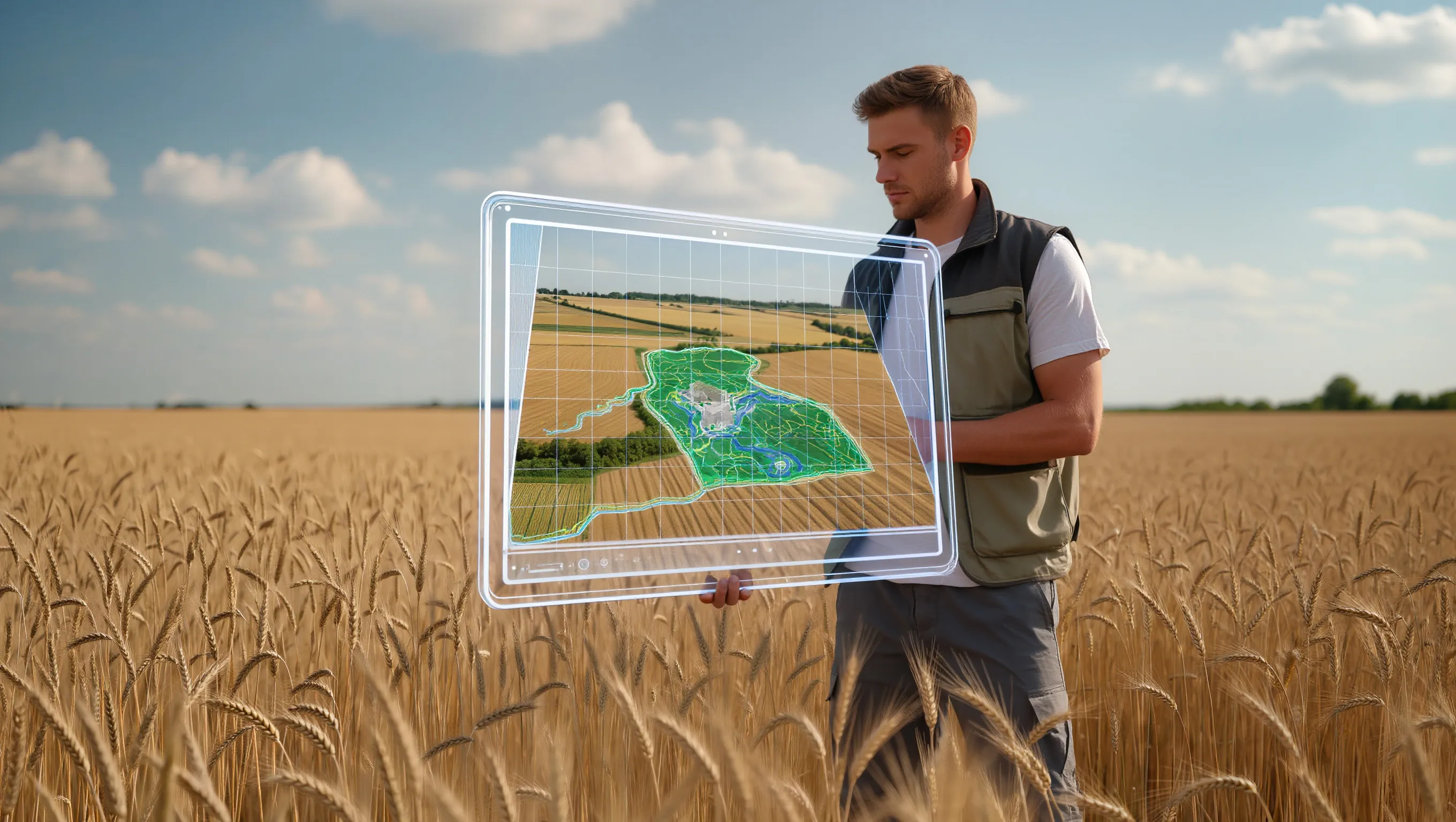
Using the updated platform, farmers can also build an electronic atlas that characterizes the soil cover of their land resources. This tool supports operational management decisions by turning map-based data into a practical resource for improving yields. Managing planting operations and analyzing their effectiveness helps eliminate errors and increases overall profitability.
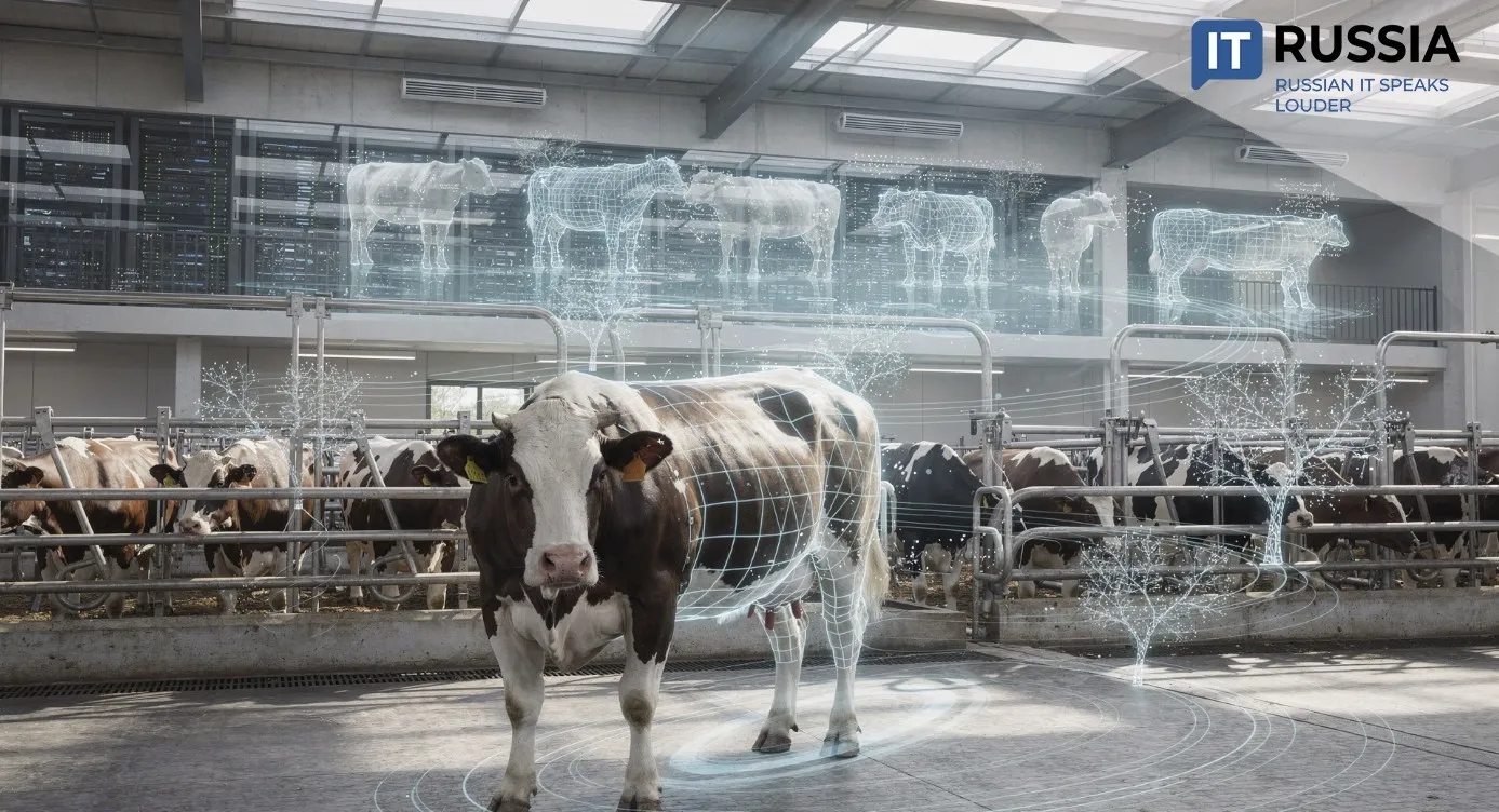
Meanwhile, ARM agronoma improves not only the quality of spatial data in the agricultural sector but also the capabilities of Russian GIS development. The expansion of logical links between different agricultural objects and stronger data integrity controls may eventually enable the creation of full digital twins of agricultural fields. Integration with IoT field sensors, yield analytics, and digital farm management systems could ultimately make it possible to build digital twins of entire agricultural enterprises.
Such technologies can significantly increase crop yields and, as a result, boost food production for Russian consumers while expanding the supply of agricultural products on international markets.