MAI Develops “Eyes” for Russian Drones
The Moscow Aviation Institute is developing a technology that allows unmanned aerial vehicles to see and navigate even in environments where GPS signals are unavailable.
Vision Without Satellites
At the Moscow Aviation Institute (MAI), researchers are working on a next-generation autonomous navigation system for unmanned aerial vehicles. Its defining feature is the ability to build a terrain map and determine position without relying on GPS. This capability is especially valuable in environments where satellite signals are jammed by electronic warfare systems or disrupted by natural interference.
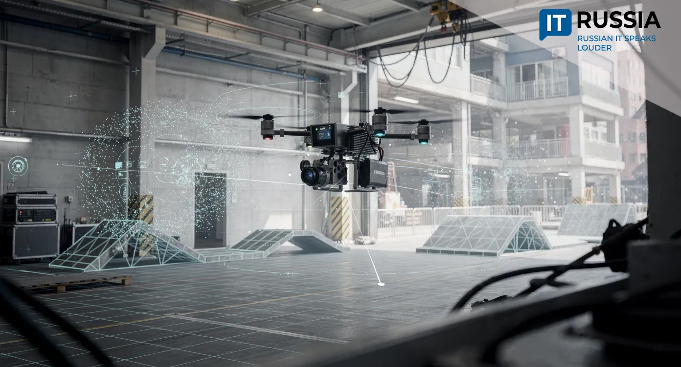
The technology is based on SLAM (Simultaneous Localization and Mapping), a method that allows a drone to localize itself while simultaneously constructing a map of its surroundings. The system integrates data from onboard cameras and inertial sensors and uses an embedded neural network to analyze video streams in real time. All required hardware is integrated into the UAV’s own controller, significantly reducing dependence on external modules.
The importance of this development for Russia is difficult to overstate. First, it sharply increases the autonomy of domestic drones, making them resilient to a wide range of external disruptions. Second, real-time human detection opens broad opportunities for search-and-rescue missions, infrastructure monitoring, and facility security. Finally, advances in SLAM and AI strengthen the country’s position in the global race for leadership in robotics and autonomous systems, a field marked by intense competition.
From Emergency Response to Export Potential
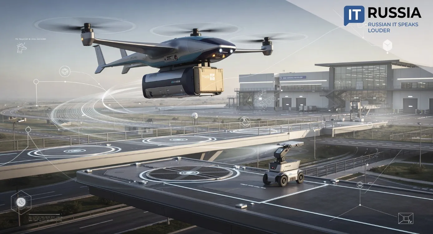
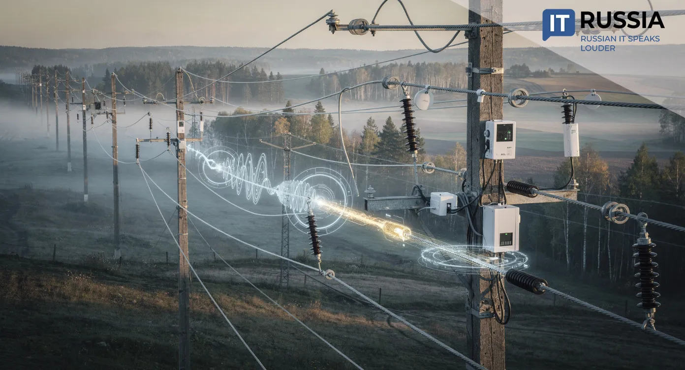
The practical applications of the new system extend well beyond laboratory testing. Emergency services could use it to locate victims in disaster zones where GPS is unavailable. The system is also suited for inspecting power lines, pipelines, and highways in remote or hard-to-access areas. In agriculture, it enables accurate field mapping and crop condition monitoring. In security applications, the technology supports automated intruder detection, raising overall safety levels.

The system’s potential is not limited to the domestic market. Internationally, MAI’s solution could attract a wide range of customers. The combination of autonomous navigation and AI-driven analysis makes the technology competitive on the global UAV market. It is particularly relevant in regions with unstable satellite coverage or dense urban environments that complicate GPS reception. In this sense, the Russian innovation addresses challenges faced across the global drone industry.
The Global Evolution of SLAM
MAI’s development is not an isolated case but part of a broader global shift toward autonomous navigation. Over the past five years, research activity in this field has accelerated, and Russia is increasingly integrated into this trend.
Researchers worldwide are testing algorithms that allow drones to navigate confidently in complex environments, from dense forests to heavily built-up industrial zones. Russian companies such as Droid Quadro are also contributing to domestic autonomous mapping solutions, expanding practical deployment experience.
The global research landscape underscores the relevance of this direction. In 2024, a study published by Darcy & Roy Press presented a detailed analysis of integrating SLAM with deep learning for autonomous flight, identifying both key advantages and persistent challenges. Libraries such as ORB-SLAM3 have become benchmark tools for visual-inertial navigation, setting high performance standards. Reviews on ScienceDirect focus on the same core problem addressed by MAI’s engineers: how to ensure reliable drone operation in conditions where GPS is entirely unavailable.
Against this backdrop, the Russian system represents not merely alignment with global trends but a contribution to shaping new industry standards.

The Future Powered by Onboard Sensors
The MAI project is currently in the field-testing stage, with engineers focusing on three priority tasks. The first is improving positioning accuracy to ensure reliable high-precision navigation under difficult conditions. The second is increasing resistance to external interference. The third is expanding functionality, including automatic object tracking and flight path optimization in dynamically changing environments.
Commercialization is scheduled for the second quarter of 2026, with experts anticipating phased deployment. Between 2026 and 2028, the system is expected to enter civilian markets.
Over the following two years, adaptation for defense applications is possible. Export contracts are also under consideration, which could position the technology within national drone development programs in other countries. After 2030, the roadmap includes integration with AI-based route planning and coordination with ground robots. This would enable fully autonomous missions in which drones independently make decisions based on comprehensive environmental analysis, minimizing human involvement.