Russia Rolls Out “Smart” Navigator and Satellite Identification for Aviation
The Ministry of Transport is introducing a domestic satellite-based identification system for aircraft, while engineers have developed a navigator that enables blind landings in zero visibility.

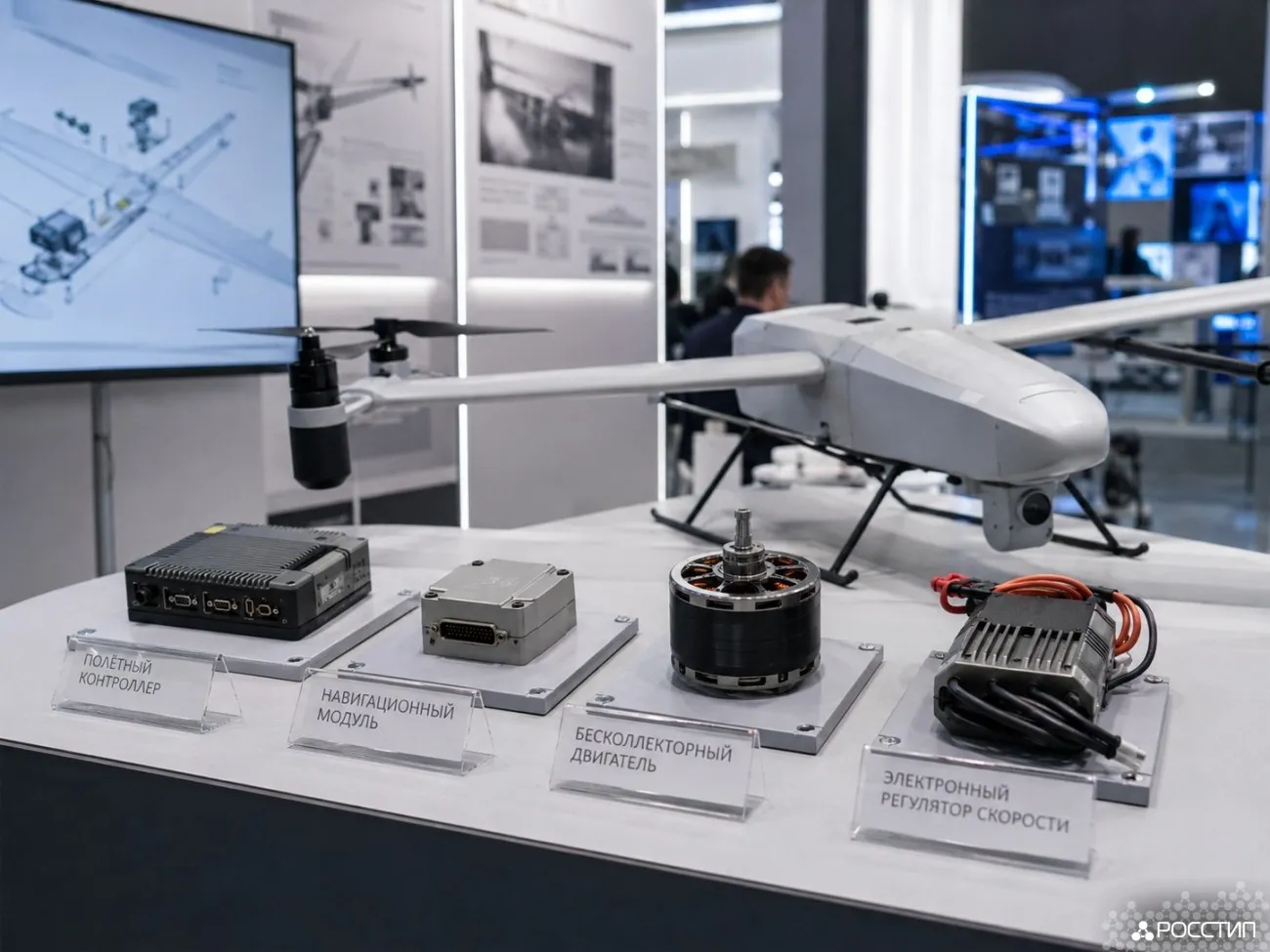
Russia is simultaneously tightening control over its airspace and making flights more technologically advanced. The Ministry of Transport is beginning to use the domestic ERA-GLONASS system to identify all aircraft in real time. At the same time, engineers at Moscow Aviation Institute (MAI) have created an innovative navigator for light aircraft that allows landings even in zero visibility.
These initiatives are strategically important: ERA-GLONASS ensures full monitoring of aircraft movements, while the new navigator improves flight safety in adverse weather conditions.
Starting in March 2026, all crewed and unmanned aircraft weighing more than 495 kilograms will be required to transmit real-time data through ERA-GLONASS. This will make it possible to track the exact location of every aircraft in Russian airspace.
MAI’s development for small aviation combines a powerful onboard computer with augmented reality technology. Using an aircraft-mounted camera, the system overlays a virtual 3D model of the runway and a precise landing trajectory onto real-world visuals. This guides the pilot to stay on course and land safely even in complete darkness. The device can also serve as a training simulator for honing landing skills.