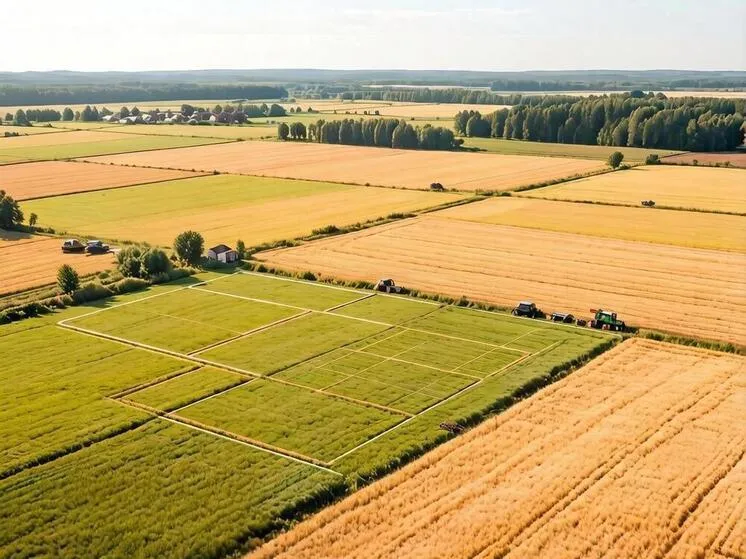
Russia to Build a Unified Digital Soil Map
Big data and advanced analytics will help optimize farming and safeguard Russia’s land resources.
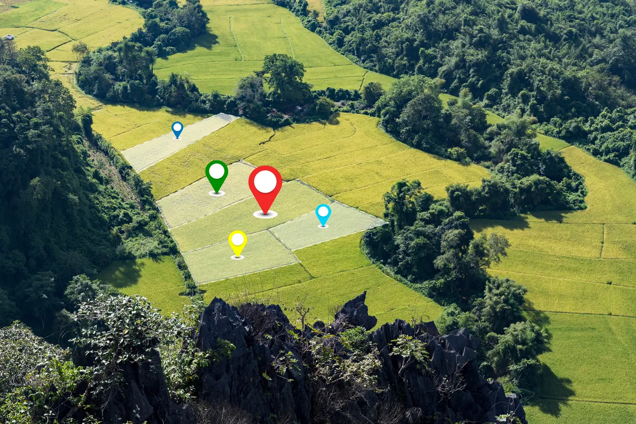
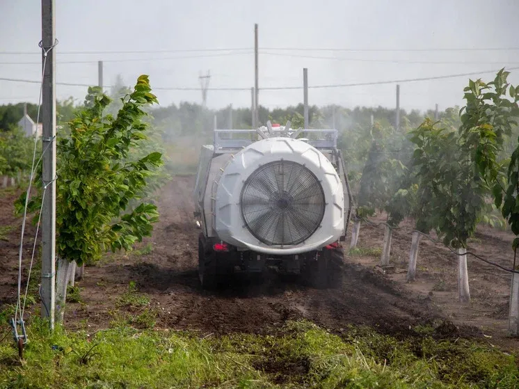
Russia has begun work on its first national digital soil map. The ambitious project, led by the Federal Agrochemical Service together with top research institutes, will consolidate scattered soil data into a single platform and push the country’s agricultural management to a new technological level. Far more than a reference tool, the map will serve as a powerful analytical engine—supporting smarter decision-making, bolstering food security, and ensuring the rational use of one of the nation’s greatest assets: fertile land. For global agricultural science, Russia’s effort to map such a vast and climate-diverse territory could prove invaluable.
Over the decades, thousands of paper-based soil maps and reports have accumulated across the country. Often created to different standards, they are difficult to merge. Researchers now face the task of digitizing this massive archive, correcting inaccuracies with geocorrection, and unifying the data into one coherent electronic database. It’s a demanding job that requires artificial intelligence, geostatistics, and expert validation.
Creating a digital twin of Russia’s soils opens up new possibilities. For farmers and agribusinesses, it means calculating fertilizer needs with precision, predicting yields, and choosing the best crops for each field—improving profitability. For the state, it provides tools for better planning in the agro-industrial complex, more accurate assessment of land resources, and stronger risk management. For science, it enables modeling of climate and human impacts on soil, and the development of strategies for preservation.