Russia Uses Real-Time Geo-Platforms to Track Roads and Wildfires

From snow removal to forest fire alerts, a national map-based system is becoming a vital tool for safety and infrastructure management.
Russia’s unified geoinformation system is gaining traction, especially in the Yamalo-Nenets Autonomous Area, where it includes over 500 geographic data sets, 160 interactive maps, and 15 specialized applications.
Citizens across the country are increasingly using real-time geo-services to monitor ice conditions, vessel movements, and road accessibility in winter. Advanced digital tools now provide up-to-the-minute information on road conditions and street cleaning operations.
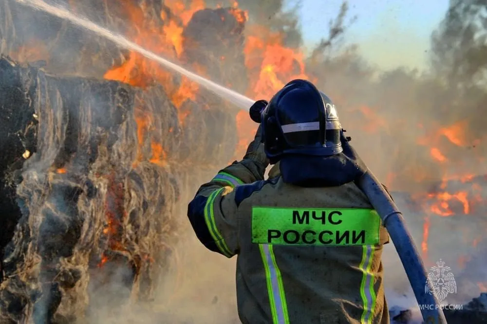
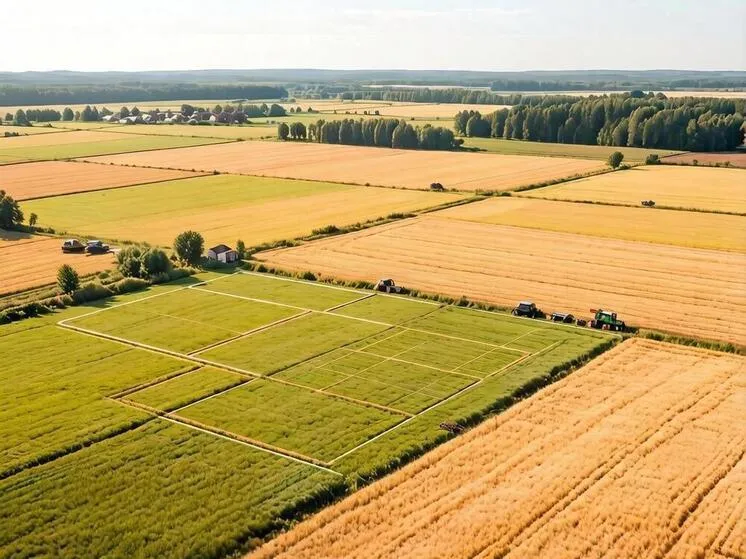
For example, in spring, users often rely on the ‘Forest Fires’ service to check for active wildfires, with real-time updates on their locations, size, and suppression status. Interest is also rising in the ‘Street Cleaning Map,’ which displays the movement of road maintenance vehicles—especially useful in snowy months when timely plowing is critical for safety and traffic flow.
Transport is another key concern. Russia is rolling out ‘smart city’ systems that adjust traffic lights based on congestion levels. This innovation helps optimize traffic, reduce jams, and minimize accident risks in urban areas.
Experts say these geoservices are improving public safety and helping local authorities manage infrastructure more effectively.