Russian Scientists Pioneer GEO‑Satellite Drone Control
Russian researchers have successfully tested a new system that allows unmanned aerial vehicles to be controlled via geostationary satellites, dramatically expanding operational range and resilience of long‑distance drone missions.
Satellite Altitude Extends Drone Reach
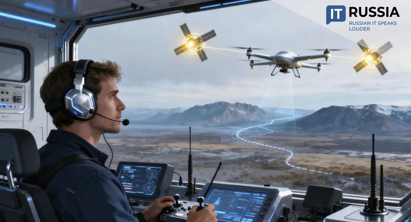
The expansion of drone operations depends directly on the availability of a stable and long‑range control system. Russian engineers have already demonstrated ground‑based and satellite‑based control, but researchers at the Moscow Aviation Institute (MAI) have now taken an important step forward. MAI scientists have developed and tested a new control architecture that routes UAV commands through a geostationary satellite, dramatically expanding the coverage zone.
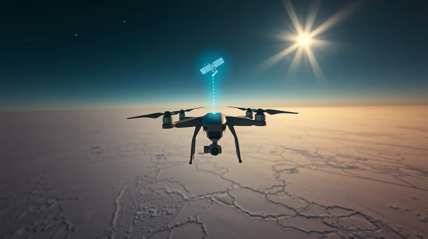
When a drone is controlled through a low‑Earth‑orbit (LEO) satellite, its operational radius is limited by line‑of‑sight constraints, typically 40 to 50 kilometers. GEO satellites, positioned over a fixed point on Earth, remove that limitation and enable far greater reach.

Stable, Continuous Links
A key advantage of GEO platforms is signal consistency. Because LEO satellites constantly move, control systems must switch between spacecraft, complicating data protocols. GEO satellites remain stationary relative to Earth, ensuring uninterrupted connectivity.
Initial tests were conducted using small UAVs at an airfield. The next phase will involve a larger fixed‑wing drone designed for long‑distance missions.

One engineering challenge is latency: real‑time command delays can reach 0.25 seconds on GEO links. MAI researchers compensated using director‑control algorithms in which the system does not directly pilot the aircraft but instead provides guidance to maintain the desired flight profile.
The operator assigns route waypoints in advance, and the UAV follows the prescribed path. As industry expert Sergey Alekseev noted, “The distance to GEO orbit is roughly 100 times greater than that to low orbits, and signal strength decreases by a factor of 10,000. This places heavy demands on mass, size, energy consumption, and cost of onboard equipment.”
How the Link Is Maintained
To maintain satellite connectivity, the UAV carries a dedicated terminal with an auto‑tracking antenna. Designing such mobile terminals is complex because the antenna must continually adjust its pointing direction as the aircraft maneuvers.
Nevertheless, GEO‑based UAV control opens new possibilities: flight range becomes limited only by the UAV's onboard power and endurance. With as few as four GEO satellites, global coverage is theoretically achievable.
Acceleration of Satellite‑UAV Integration
Russia has made rapid progress in satellite‑enabled drone control. The capability is a priority under the national “Sfera” satellite‑constellation program. Last year, engineers conducted the first successful UAV management tests via the Gonets onboard modem.

In April 2025, trials began on a satellite‑communication system for medium‑class UAVs, expanding operational range. In August, the Reshetnev company reported successful FPV‑video transmission via the Yamal‑601 GEO satellite using the RS‑30M terminal. Neural‑network compression and predictive‑coding techniques significantly reduced latency — a critical factor for long‑range remote piloting.
For Russia, satellite‑based UAV control has strategic importance. It enables operations in remote regions lacking terrestrial communications infrastructure and offers strong export potential for regions facing similar challenges — across the CIS, the Middle East, Africa, and Latin America.