Samara’s Digital Map: Every Building Under Public Oversight
The Governor of the Samara Region, Vyacheslav Fedoryshchev, has announced an ambitious and timely initiative: by June 1, 2026, the region will create a public digital map of all buildings in Samara.

A “Diagnosis” for Every Building
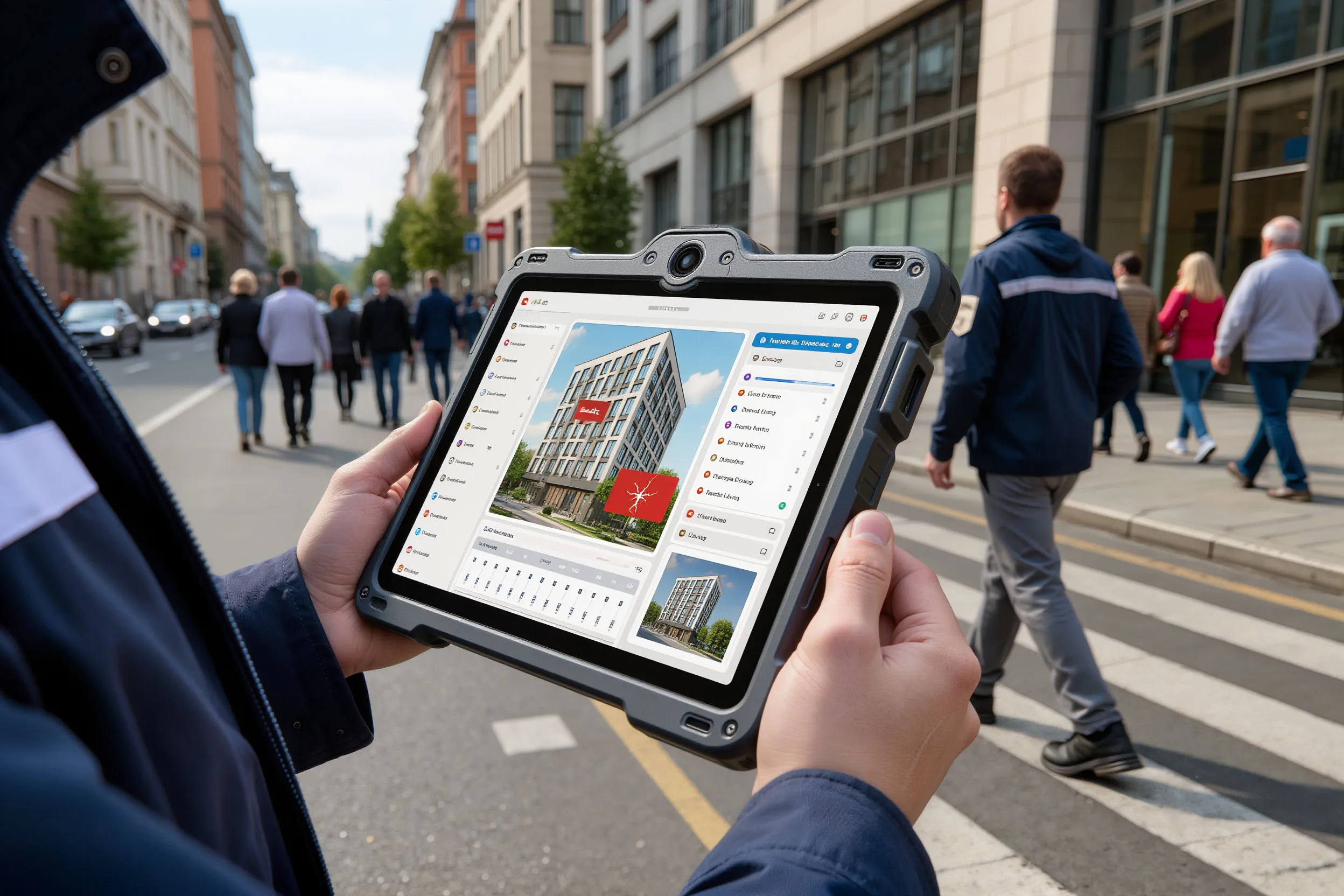
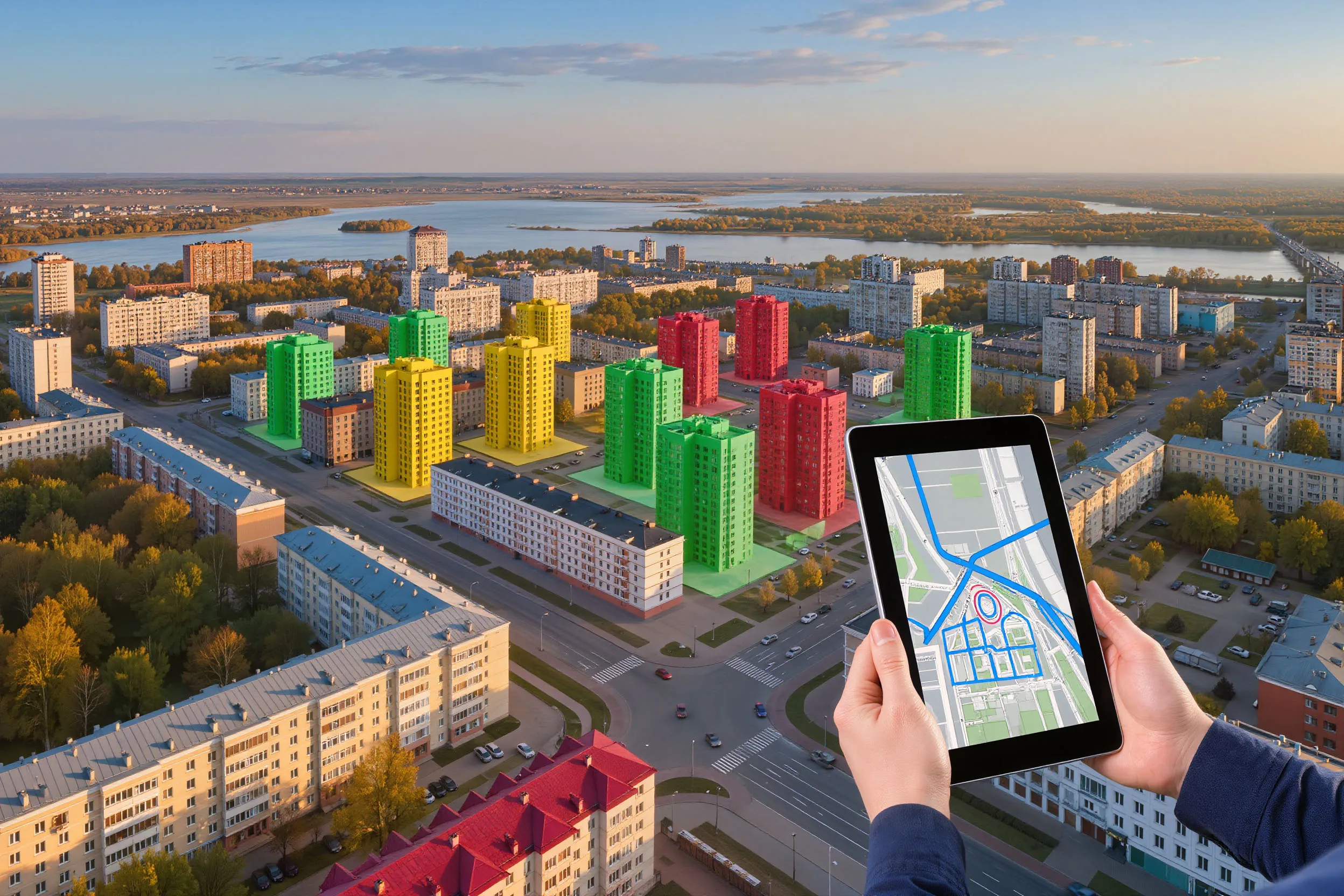
This is not just an interactive city layout but a detailed registry providing a “diagnosis” for each structure. The map will show technical conditions of buildings, marking those that require facade repairs, full capital renovation or demolition. Data entry will begin in stages starting January 2026, and by summer residents are expected to gain access to comprehensive information about their homes.
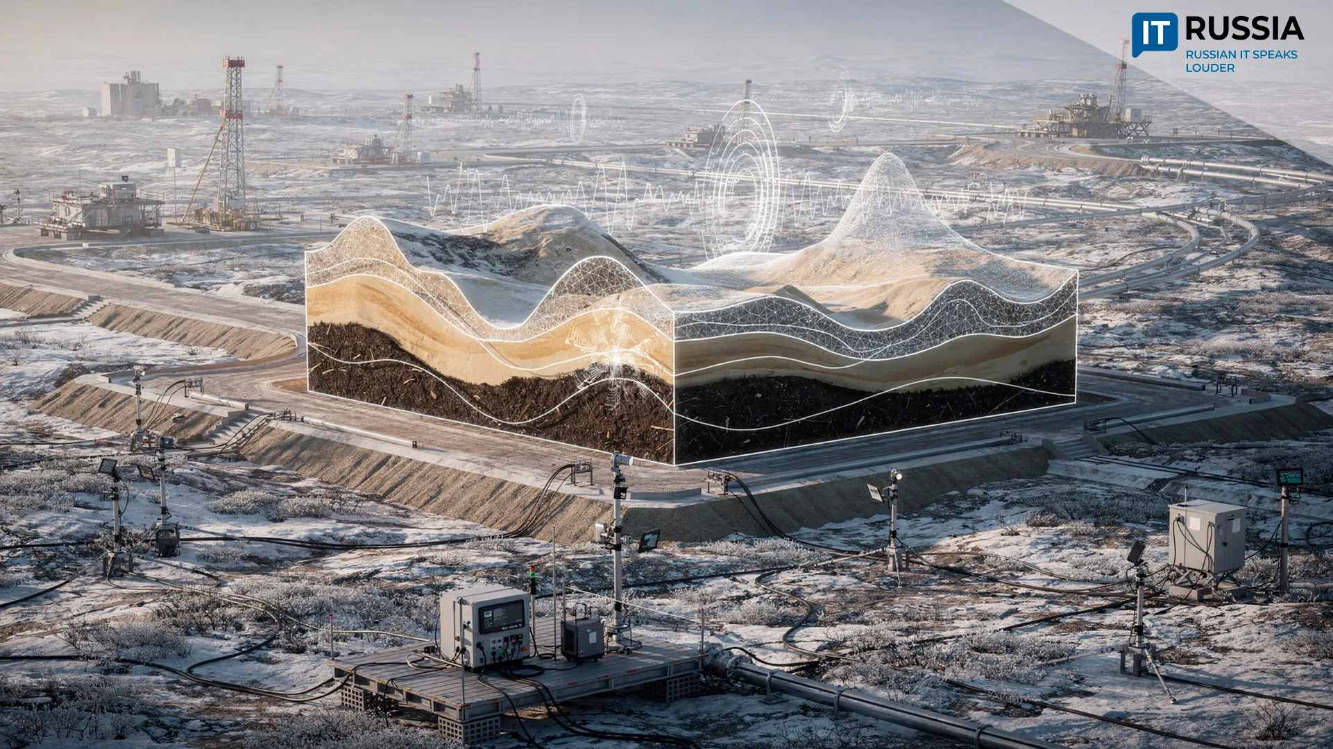
The reason for launching the project is highly practical: Samara faces a pressing problem with abandoned and unsafe buildings, which not only spoil the urban landscape but also pose real threats to citizen safety. The digital map is intended to become a tool for systematically addressing this long-standing issue – from inventorying structures to planning specific actions for demolition or renovation.
Toward Safety and Transparency
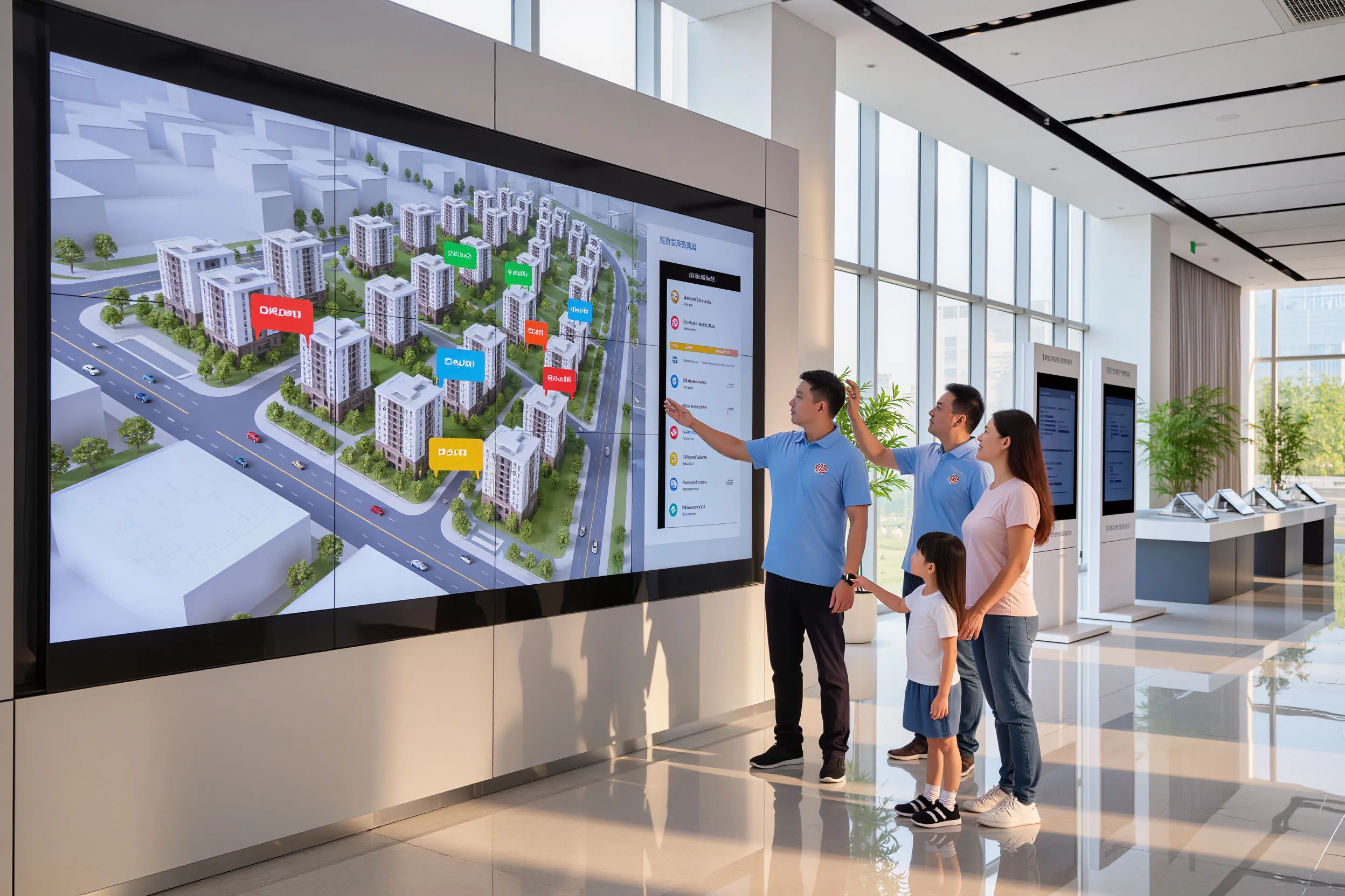
The project covers the entire urban building stock, shifting it from fragmented data sources into a unified digital system. This is a major step toward transparency in urban management. Residents will be able to access official information about the condition of their buildings in a single click, which is critical for assessing safety and planning their lives. For the region, it means more effective resource management: instead of reacting to emergencies, authorities will be able to proactively plan repair campaigns, renovation programs and demolition schedules, optimizing budgets and improving the urban environment overall.

The map is expected to become a foundation for ongoing monitoring, speeding up and making more transparent the decision-making processes regarding the fate of buildings. From a technological perspective, this represents significant progress in the development of regional geographic information systems (GIS), serving as a model for other parts of the country. Successful implementation may inspire similar initiatives in other regions concerned with deteriorating housing.
Smart and Sustainable Urban Development
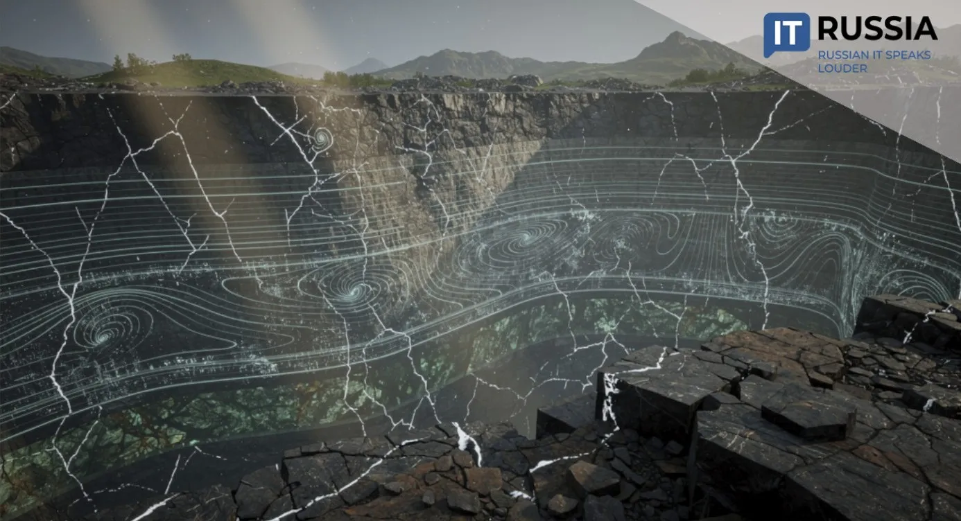
In recent years, interest in GIS technologies for monitoring and managing urban development has continued to grow. The research community has proposed a model of a “multilayer spatiotemporal geoinformation system” for monitoring. Several cities have launched pilot projects focused on digitizing building inventories, 3D reconstruction and linking structures to databases, often as part of renovation programs. Samara’s project appears to be a logical and large-scale continuation of this work.
The digital map of Samara may become a practical tool for decision-making in urban-environment management and could serve as a model for all of Russia. The project will enhance safety, accelerate stock renewal and increase transparency.