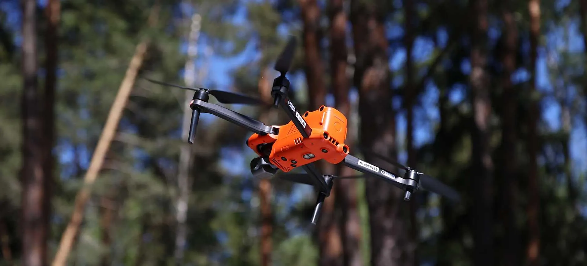
Kazan-Based Geopeydzher Unveils Local Positioning System for Drones
New technology enables navigation without GPS and supports real-time monitoring

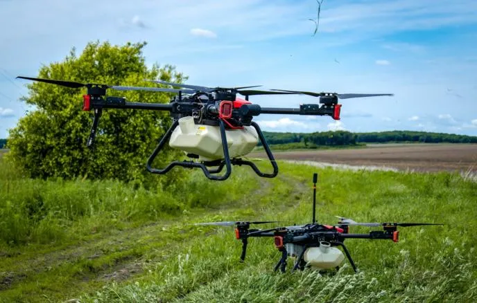
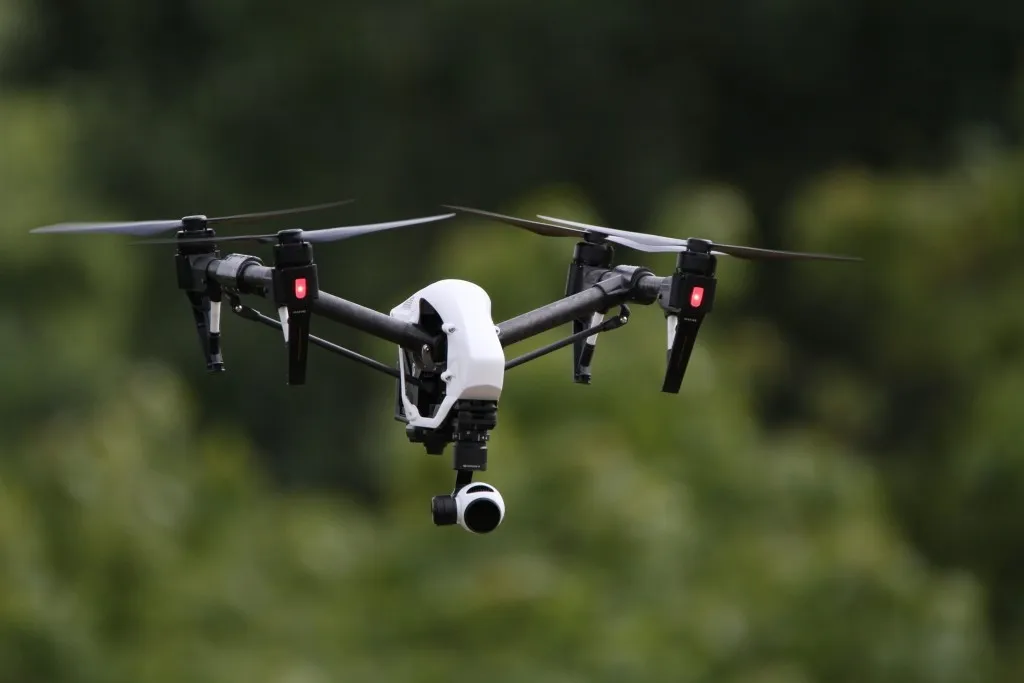
Geopeydzher, a resident of Innopolis and the Kazan IT Park, has unveiled a local positioning system (LSP) designed for drone navigation, according to the Ministry of Digital Development of Tatarstan.
The system is intended for spatial monitoring and can detect objects with accuracy of up to 10 centimeters, regardless of weather conditions. Drones navigate using a network of sensors – geopyxels – placed at different heights on buildings. Each sensor is assigned precise coordinates and tracks changes in the environment. The system can identify objects while ensuring a high level of data security.
Keeping Operations in Check
The technology can be used, for example, to define flight paths for autonomous transport. A drone follows a predefined corridor, while geopyxels ensure it stays on course and that no other objects approach it. According to the developers, delivery costs for retailers, marketplaces, and other services can be reduced by up to 40%.
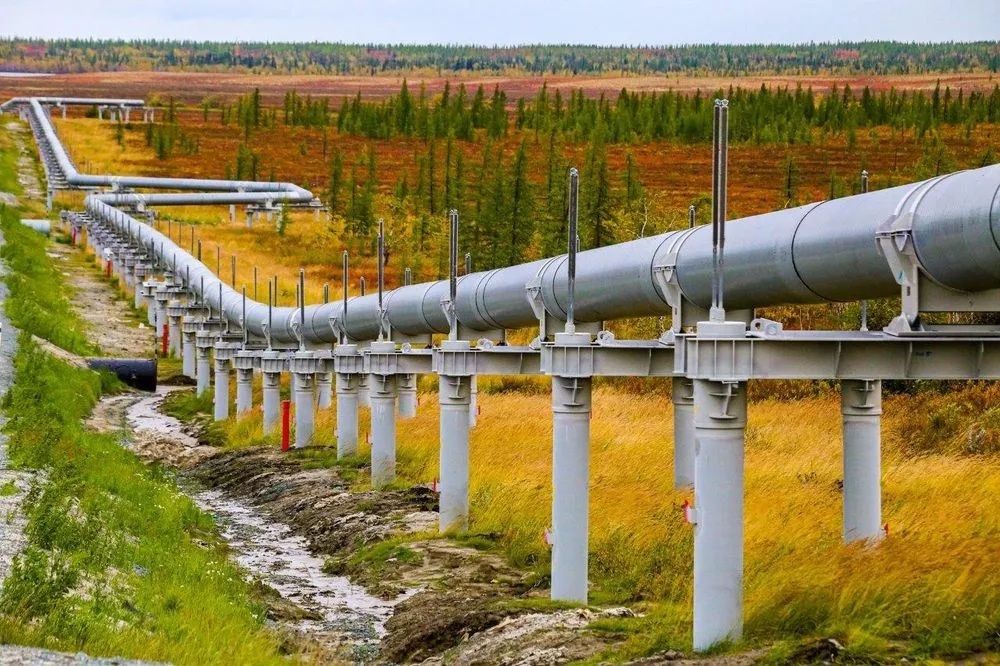
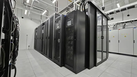
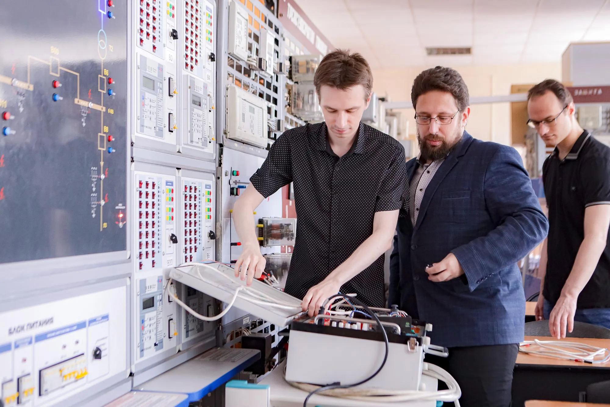
Another application is digital oversight of industrial facilities. In many industries, real-time video surveillance over unsecured networks is restricted. Geopeydzher’s platform creates a digital twin of a site and tracks the movement of equipment, personnel, and infrastructure conditions. It can also monitor hazardous zones. The system has already been evaluated by major companies.