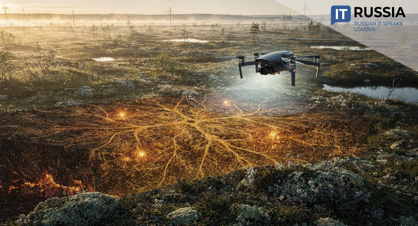
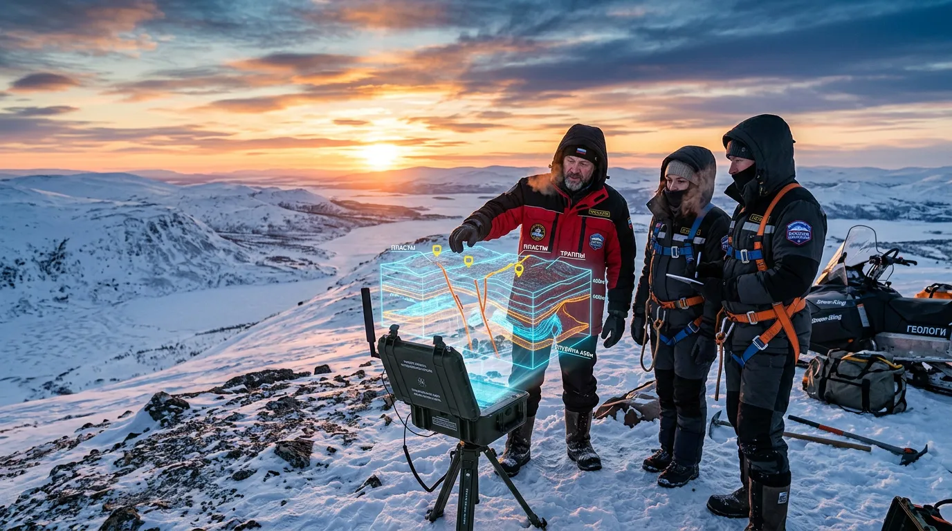
New Approach to Arctic Geological Exploration
Researchers at the Scientific Research Radiophysical Institute of Lobachevsky University have proposed a new geological exploration technology designed for Arctic conditions. The project is being developed within the framework of the Russian Academy of Sciences’ long-term fundamental research program.
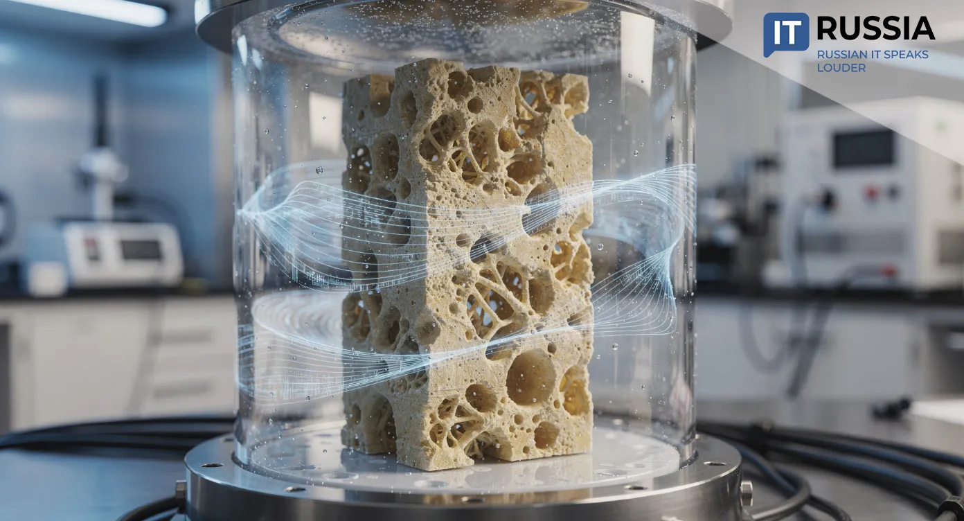
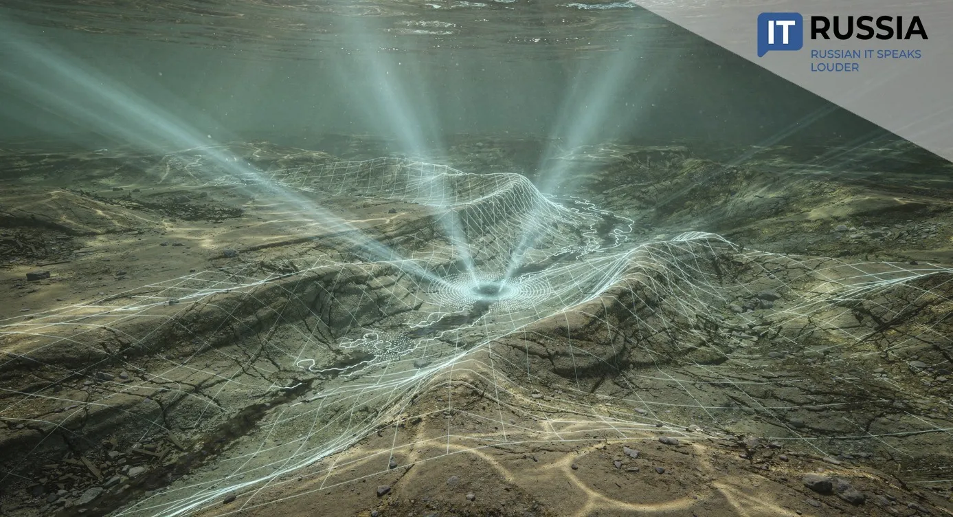
The new technology will be based on a mobile ionospheric impact system capable of generating low-frequency radio waves. These waves penetrate the Earth’s crust, while a network of sensors positioned on land, beneath ice and on the seabed records electromagnetic field parameters that can later be used to reconstruct subsurface geological structures.
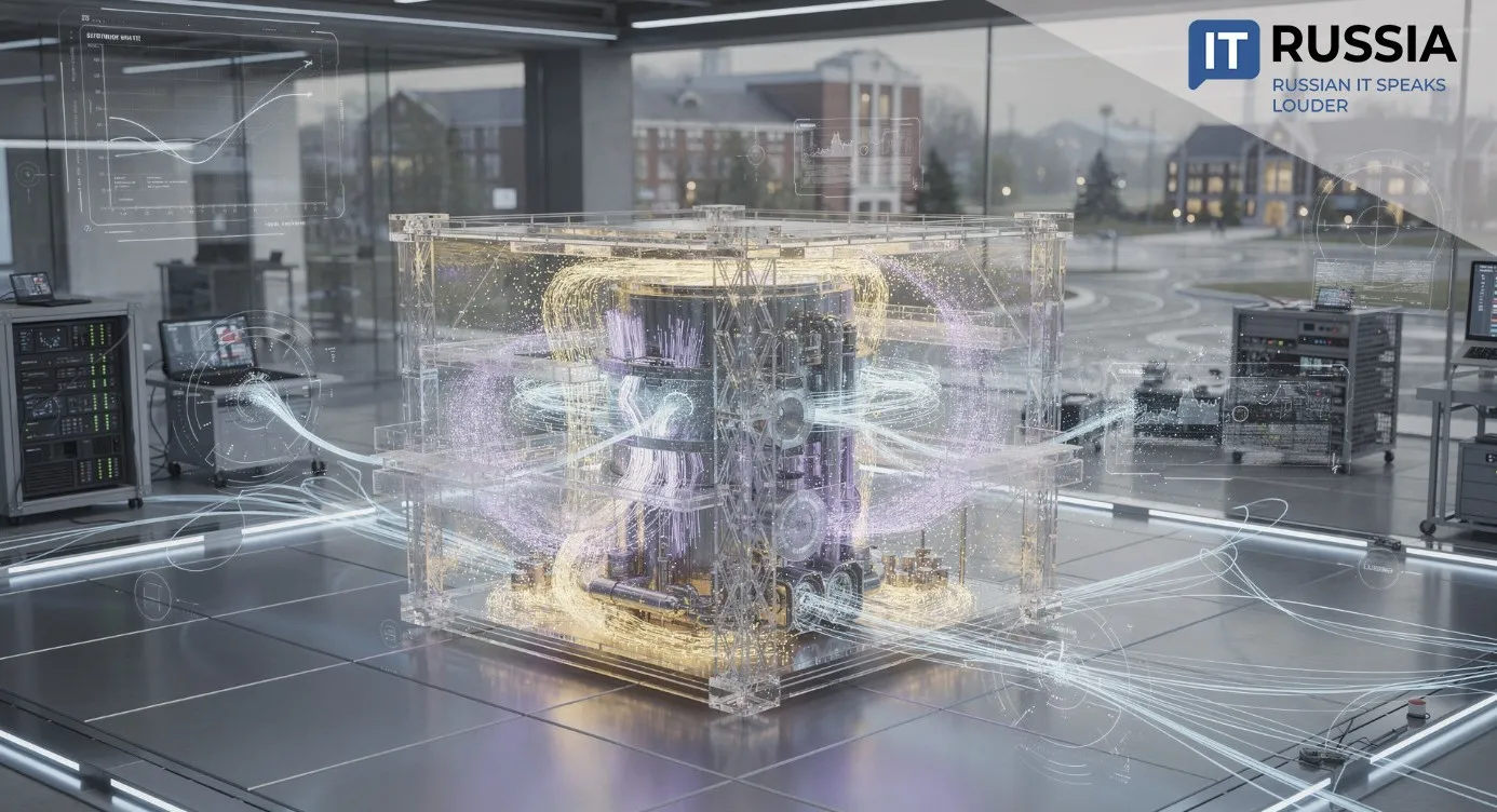
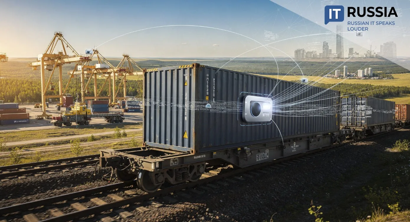
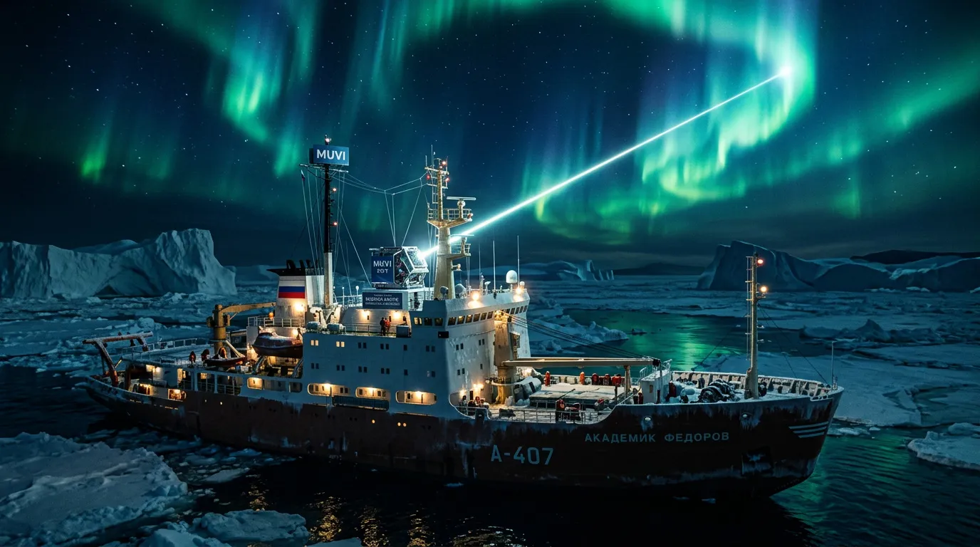
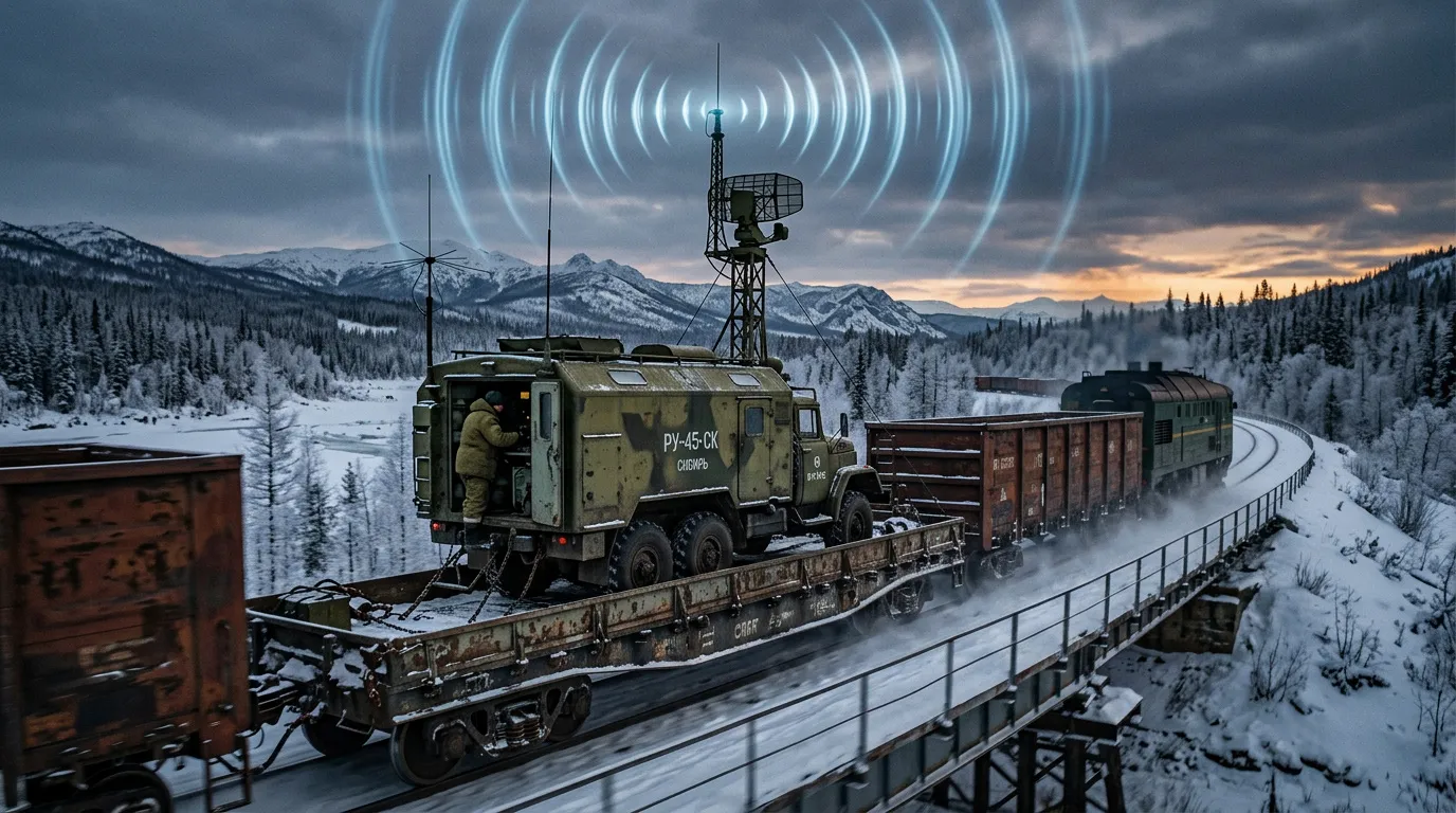
Instead of relying on awkward-to-handle and expensive stationary infrastructure, the researchers propose a compact mobile complex that could be deployed on ships, railway platforms and, potentially, used to study offshore shelves, coastal zones, groundwater systems, karst formations and environmentally sensitive sites.
At present, the project remains at the scientific and technological research stage. A stationary prototype is currently being assembled at NIRFI’s Vasilsursk testing ground. The next steps include construction of the system, full-scale field trials and development of a methodology for subsurface sounding. The project combines expertise in radiophysics, geoinformatics, signal processing, mathematical modeling and geological exploration software. The effectiveness of the technology will depend not only on the hardware itself, but also on algorithms used for electromagnetic data processing, inverse problem solving, geological model construction and integration with digital subsurface resource management platforms.
Assessing the Potential
The technology could potentially accelerate the search for resources used in energy, industry, transportation, electronics and infrastructure development. In addition, the system may serve as a backup communication channel for vessels operating along the Northern Sea Route. The technology could become particularly valuable when conventional communication systems fail under difficult ionospheric conditions. Researchers also see possible applications in groundwater studies, karst analysis, engineering and environmental surveys, archaeological exploration and geological tomography imaging.
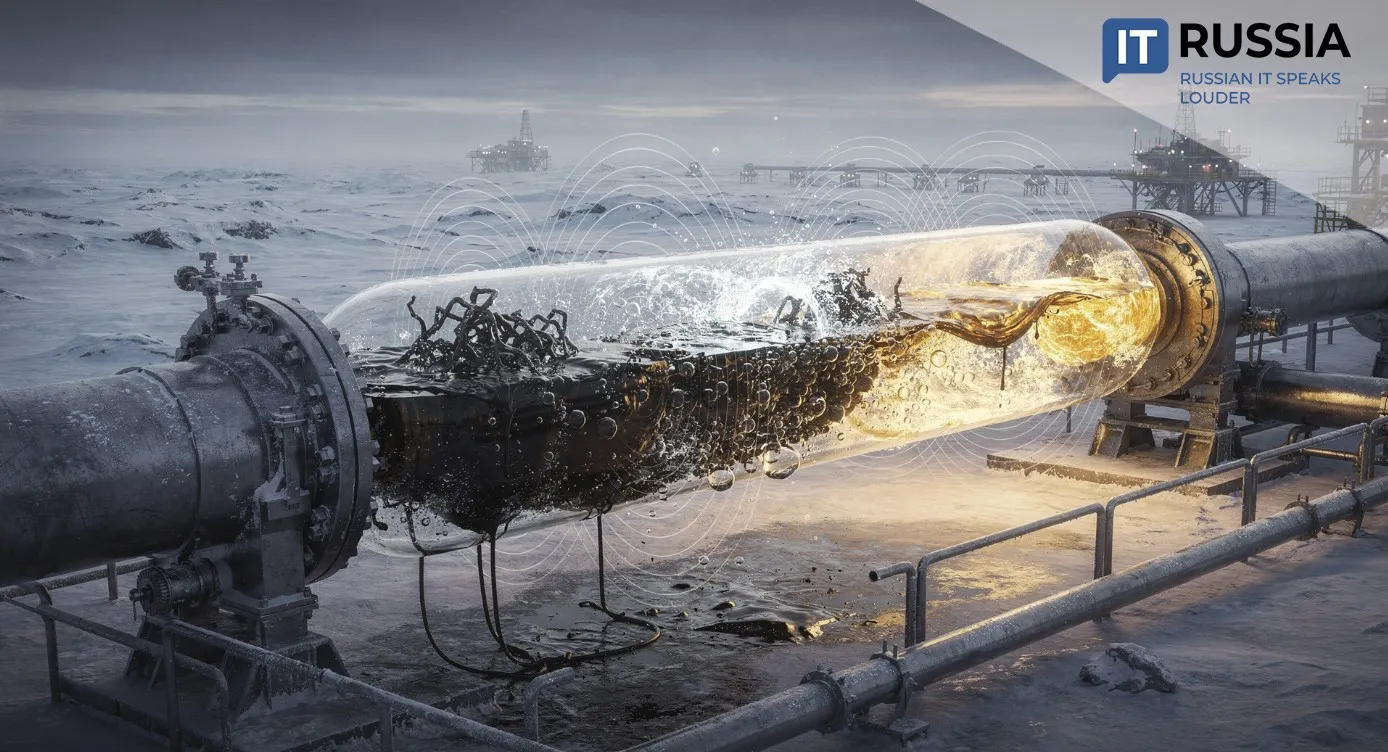
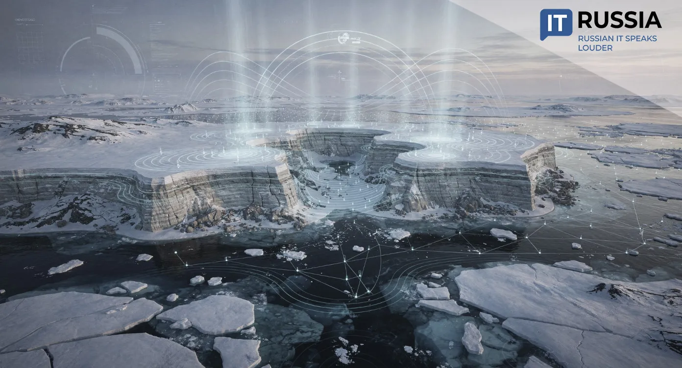
The development could significantly simplify, reduce the cost of and accelerate exploration work in remote Arctic regions. The Arctic is known to contain major reserves of platinum-group metals, apatite ores, rare earth elements, nickel and other mineral resources. For Russia, development of these reserves remains a strategically important long-term objective.
Researchers also point to the signal’s substantial penetration capability. Under Arctic conditions, the reception range could extend for several thousand kilometers. According to the developers, a single installation operating at mid-latitudes could cover an area with a diameter of up to 1,000 kilometers, while signal reception ranges in northern regions could exceed 2,000 kilometers. Based on calculations by the inventor of the system, three to four installations could be sufficient for geological exploration of the Arctic Ocean coastline from Murmansk to Chukotka.
Thus, only a limited number of systems would be needed to study vast territories. At the same time, costs are expected to remain significantly lower than those associated with traditional extremely low-frequency geological exploration systems. Researchers have also highlighted the compact size of the equipment as an important advantage.
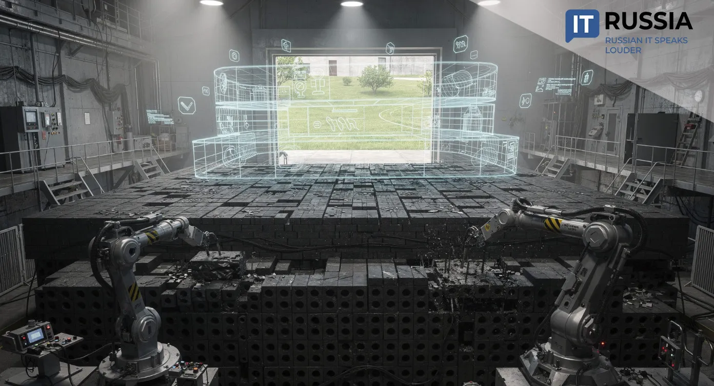
Challenges of Geological Modeling
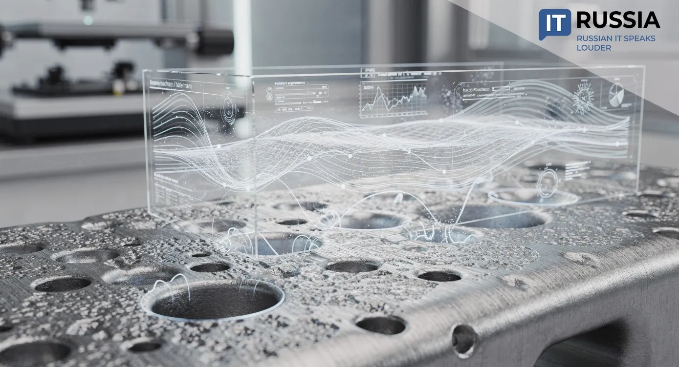
Researchers at Lobachevsky University are not working in isolation. Because the effectiveness of the new technology will depend heavily on high-quality digital interpretation of collected data, advances in Russian geological software form an important parallel trend. In March 2026, Rosneft announced a new version of its RN-GEOSIM software package. Version 3.0 expanded capabilities for building large-scale 3D reservoir models, including complex geological structures such as inclined faults, pinch-out zones and displaced strata. The updated software accelerates geological model generation by 15%, while the economic impact from deployment exceeds 700 million rubles annually (about $9 million).
According to Rosnedra, Russia added 317 solid mineral and hydrocarbon deposits to the state reserve register in 2025. New discoveries are being made across the country, from central Russia to Siberia, the Far East and the Arctic. Geological exploration therefore remains one of the priorities of Russia’s industrial and resource policy. Researchers at VNII Okeangeologiya believe that Russia’s Arctic islands and archipelagos could form at least three new mineral resource centers because of their significant reserves of solid minerals and their connection to the transportation infrastructure of the Northern Sea Route. The resource potential of Arctic islands remains far from fully explored and requires additional study.
The new technology aligns with Russia’s broader state agenda for Arctic development. The Arctic is increasingly viewed not only as a transportation and energy corridor, but also as a region for further geological research and mineral exploration.