Seeing Every Head of Grain: New Technologies Are Transforming Crop Monitoring
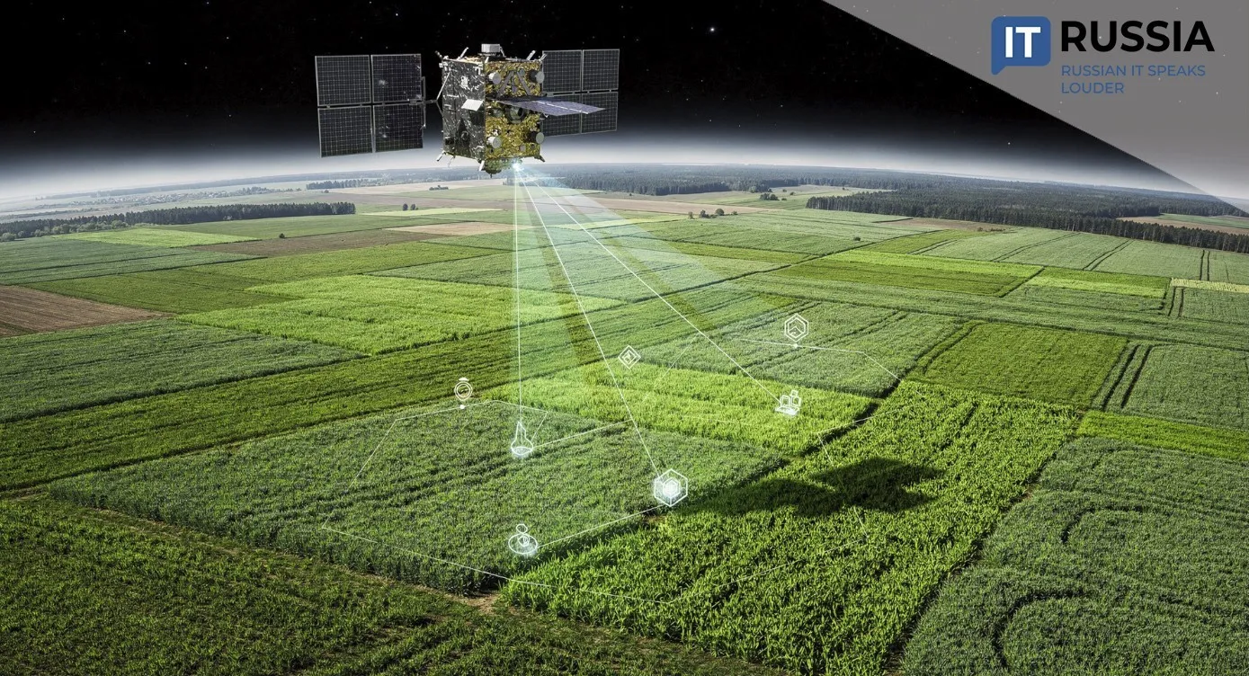
Winter crop conditions in Russia's Penza Region are being assessed using satellite monitoring systems, giving agronomists faster and more accurate information for managing fields during the growing season.
Winter crops are among the most important contributors to Russia's grain production. In regions where they are cultivated, they consistently deliver higher yields than spring crops. At the same time, successful production depends on timely and accurate assessment of crop conditions in spring and early summer. That information is critical because it allows growers to support plants during key growth stages by applying additional fertilizer and responding quickly to pests and diseases. When problems are detected early, farmers can take corrective action without delay, including overseeding or replanting if necessary. Those decisions have a direct impact on the harvest.
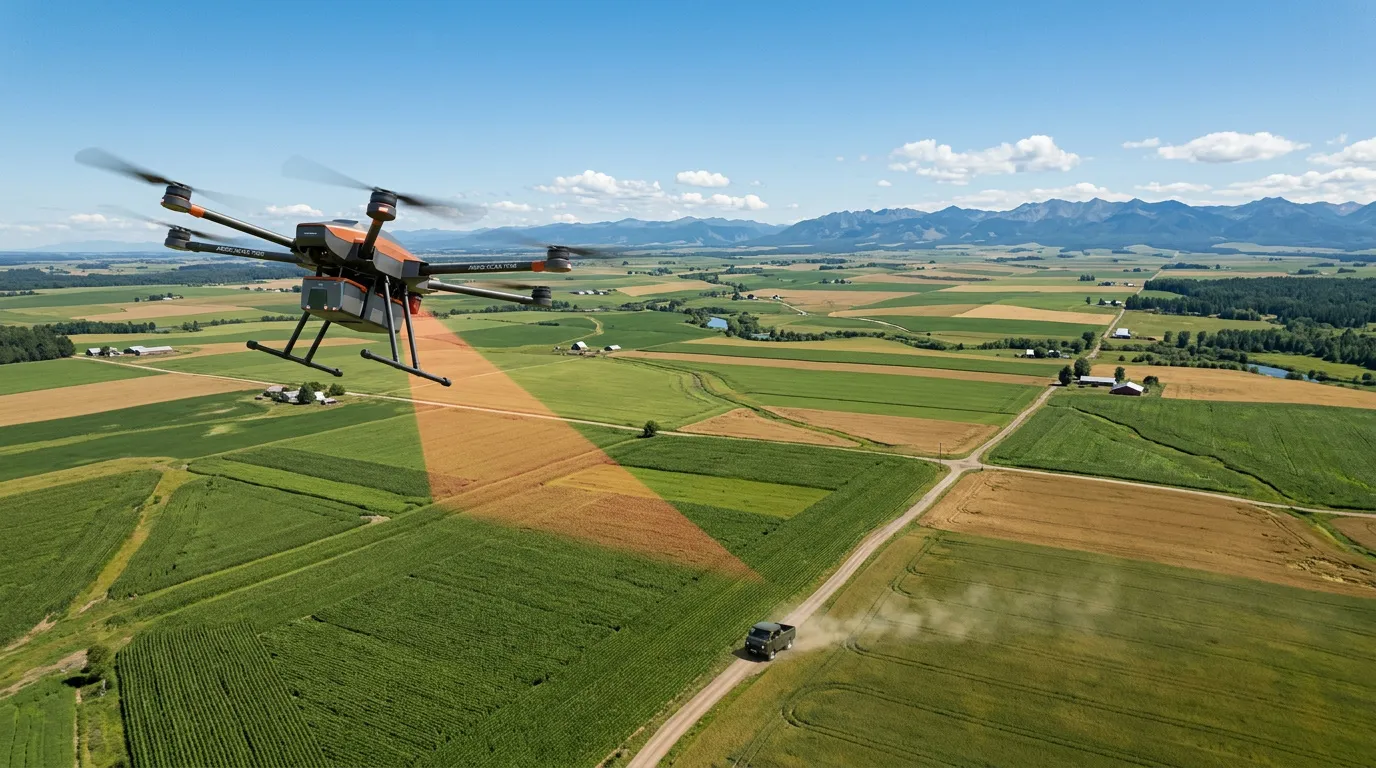
Assessing winter crop development requires monitoring vast agricultural areas, making conventional field inspections both time-consuming and labor-intensive. Digital monitoring technologies now provide a far more efficient way to evaluate crop conditions at scale.
Remote Monitoring of Crop Biomass
In Penza Region, winter crop conditions are monitored using satellite imagery. The region has more than 307,000 hectares (about 759,000 acres) of winter crops, making space-based observation the most efficient monitoring approach. Most of those crops were planted in the autumn of 2025, with winter wheat accounting for about 99% of the total planted area.
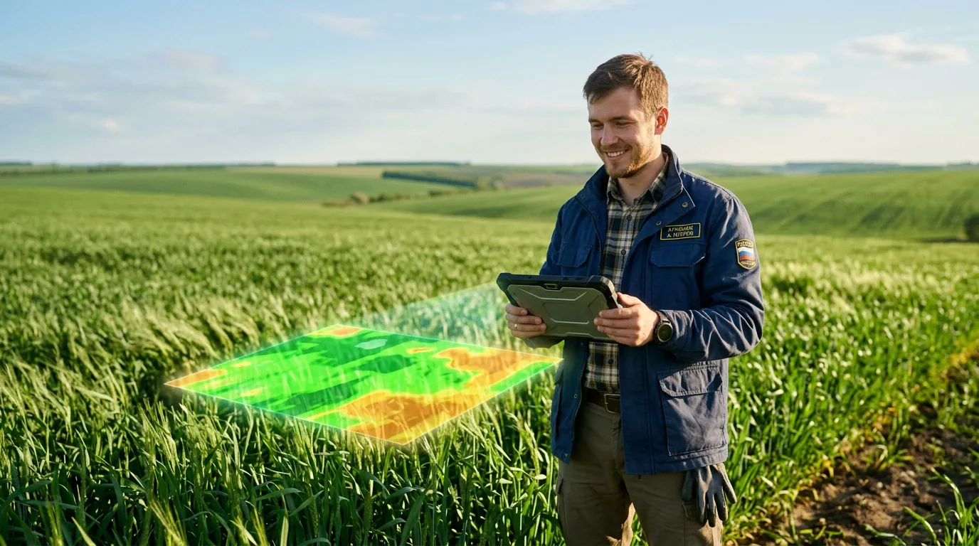
Crop conditions are evaluated using the Normalized Difference Vegetation Index (NDVI), which measures the amount of green biomass in the fields. Higher NDVI values indicate greater vegetation density and, in turn, stronger crop development. The index has become an effective tool for remotely monitoring vegetation health.
Agronomists at the Penza Region Ministry of Agriculture also conducted a comparative remote assessment of winter wheat conditions. According to their analysis, soil moisture across Penza Region remains at favorable levels. Moisture reserves meet standard agronomic benchmarks, while temperature conditions are consistent with long-term seasonal averages. Together, those agrometeorological conditions provide a favorable environment for winter crop growth, development and yield formation.
Satellite monitoring enables agricultural producers to make faster management decisions that improve farming efficiency, the Penza Region Ministry of Agriculture said. The region has already begun applying nitrogen fertilizer to winter crops.
Higher Yields Driven by Digital Data
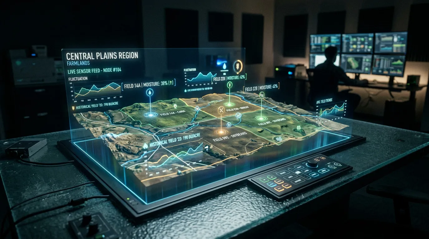
Geospatial technologies are seeing wider adoption across Russia's agricultural sector. These systems rely on satellite imagery processed through specialized software and artificial intelligence algorithms. Using satellite and drone technologies has become essential for digital farm management and the continued development of precision agriculture in Russia.
"The use of satellite and drone technologies in agriculture is a real step toward more sustainable farming. They give agronomists a view from above. We are learning to see fields not as uniform surfaces but as complex mosaics where every square meter requires its own management strategy. These new methods deliver both economic and environmental benefits from the very first year of use," said Anatoly Shevyrnogov, Chief Researcher at the Institute of Biophysics of the Siberian Branch of the Russian Academy of Sciences, Doctor of Technical Sciences and Professor.
Russian satellites can analyze the spectral characteristics of soil and provide information about its composition and nutrient content. That enables growers to optimize fertilizer use and improve production efficiency.
Spacecraft also monitor soil moisture levels, helping optimize water allocation in regions with limited water resources. At the same time, continuous monitoring of soil and environmental conditions supports efforts to prevent land degradation, soil erosion and water pollution.
Exporting Space-Based Agricultural Data
Looking ahead, Russian satellite field monitoring systems are expected to move beyond periodic local surveys toward continuous automated monitoring of large agricultural areas. Their value will increase further when satellite observations are combined with weather information, soil data and imagery collected by unmanned aerial vehicles. Together, these data streams will make it possible to track crop development throughout the growing season, rapidly identify drought, excess moisture and plant diseases, and use AI algorithms to forecast both crop yields and the economic performance of crop production.
One platform that could support this approach is Tsifrovaya Zemlya (Digital Earth), introduced by Roscosmos in 2023. The project is designed as a comprehensive digital map of Russia's economic activity and natural resources based on Earth observation data. Integrating its datasets with the Ministry of Agriculture's information systems could significantly expand capabilities for land management and crop monitoring.
Data collected by Russian satellites are already supporting agricultural development in countries including Uzbekistan, Egypt and India. Demand for these technologies is expected to continue growing, particularly in countries that must monitor extensive agricultural areas with limited on-the-ground personnel.